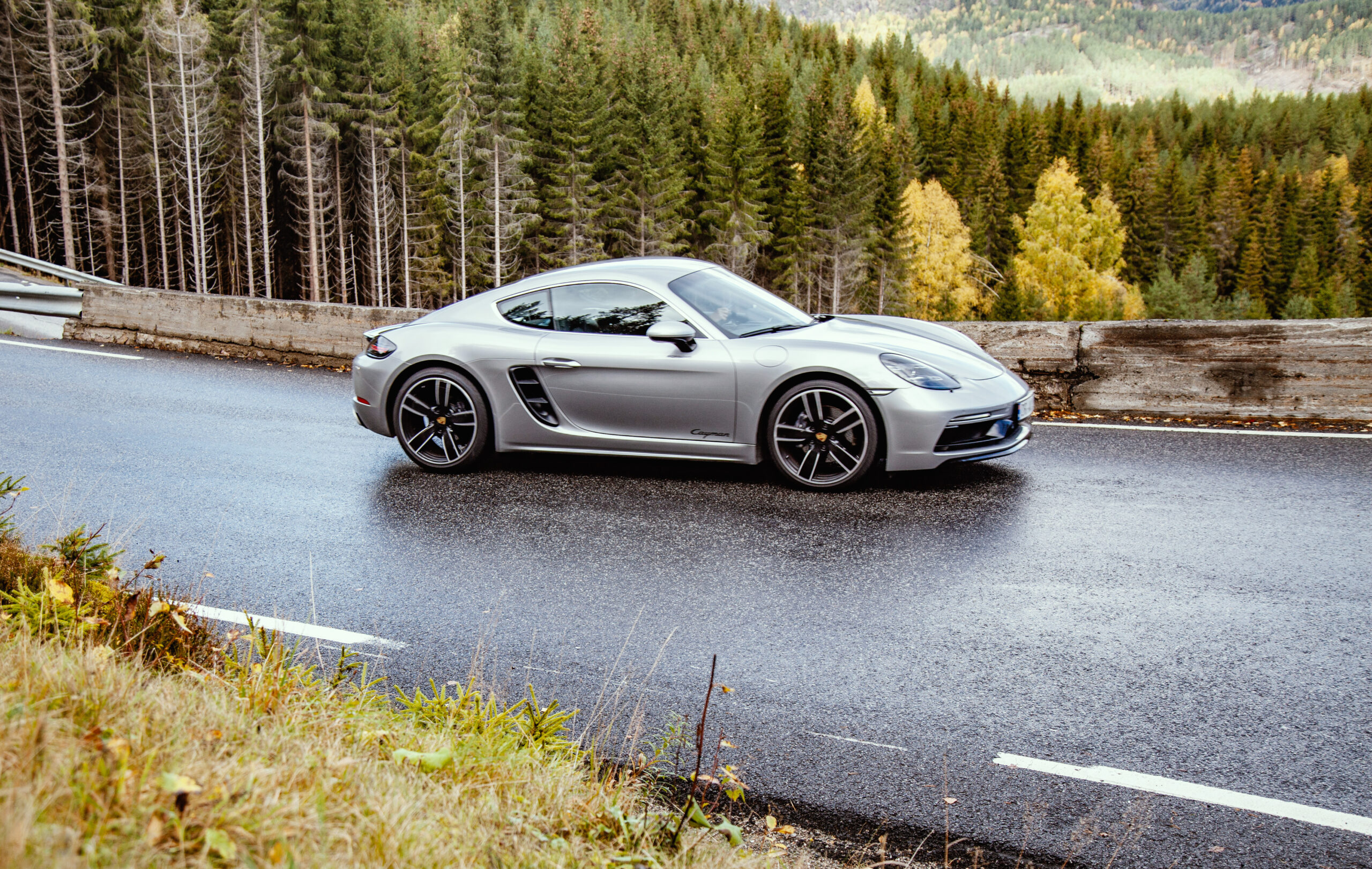
Ruten defineres som normal
Routes defined as normal are suitable for most people who have experience with somewhat demanding sections.Tid
11:00 timer
Lengde
550 km
Popularitet
4.6 av 10
This is a real long-distance trip with incredibly beautiful scenery and experiences, where you get both bag and baggage. The nature at Haukeli is fantastic and Lysefjord's opportunities are many... Just enjoy the impressions from A to Z. NB: Please note that the Google map shows the wrong route from Suleskard to Valle in winter as it is not possible to use winter closed roads in the routes in winter. Verify that the route goes directly from Suleskard to Valle before driving.
Local gas stations delivering 98 octane
Check out the Norwegian-developed app Refuel provided by AMCAR in collaboration with High Octane AS for iOS and Android phones.

The tour starts along Vråvatn with everything from gentle sweepers to tight, fun hairpins up towards Åmdals verk and then down towards Dalen and up to Vinjesvingen via Byrte. After such a good start, we recommend a stop at Mjonøy Bakeri so that you have something for your coffee throughout the day. The tour continues up towards Haukeli and it is an experience to drive these roads. It’s also possible to drive around the tunnel, but keep in mind that the trip is long so you have to watch your time. The mountain section is beautiful to drive with nice curves and good flow. We recommend a coffee or food break at Haukeliseter before starting the descent to Røldal and further down along Suldalsvannet and on towards Lauvik, which offers many opportunities for experiences along the Lysefjord. Remember to check ferry timetables on your way from Røldal. Continue towards Suleskard and feel free to take a trip to Lysebotn if time permits. The Lyseveien road that leads to the lookout point and café in Lysebotn is a piece of Norwegian fairground road with 40 to 80 turns that are absolutely fantastic. The trip over Suleskard towards Valle is fantastic, just enjoy yourself, but remember that the road is narrow and there may well be a sheep lying alongside the road enjoying the summer. Continuing towards Vrådal, there is a great finish over Hallbjønnsekken and the fun road along Vråvatn. This is a long trip and do not embark on this if you do not want a lot of driving.
Support
Dette kommer først og fremst an på om du har montert en GPS, navigerer etter App på mobiltelefonen eller foretrekker papirutskrift. Her beskriver vi de vanligste arbeidsflytene:
Mange av rutene på Hubriding bruker appen Ride with GPS for ruteplanlegging og navigering av rutene. Denne kan du laste ned i gratisversjon eller betale for utvidet bruk. Trykk på lenken Send to Device på kartet på denne siden, når appen har startet og du ser aktuell rute trykker du Navigate og så er det bare å følge ruta.