The route is defined as normal
Routes defined as normal are suitable for most people who have experience with somewhat demanding sections.Time
3:20 hours
Length
34 km
Popularity
3.6 av 10
Enjoy the beautiful landscape. When you're at the top of Vrådal Panorama, there's a sea of possibilities. Enjoy the magnificent mountain.
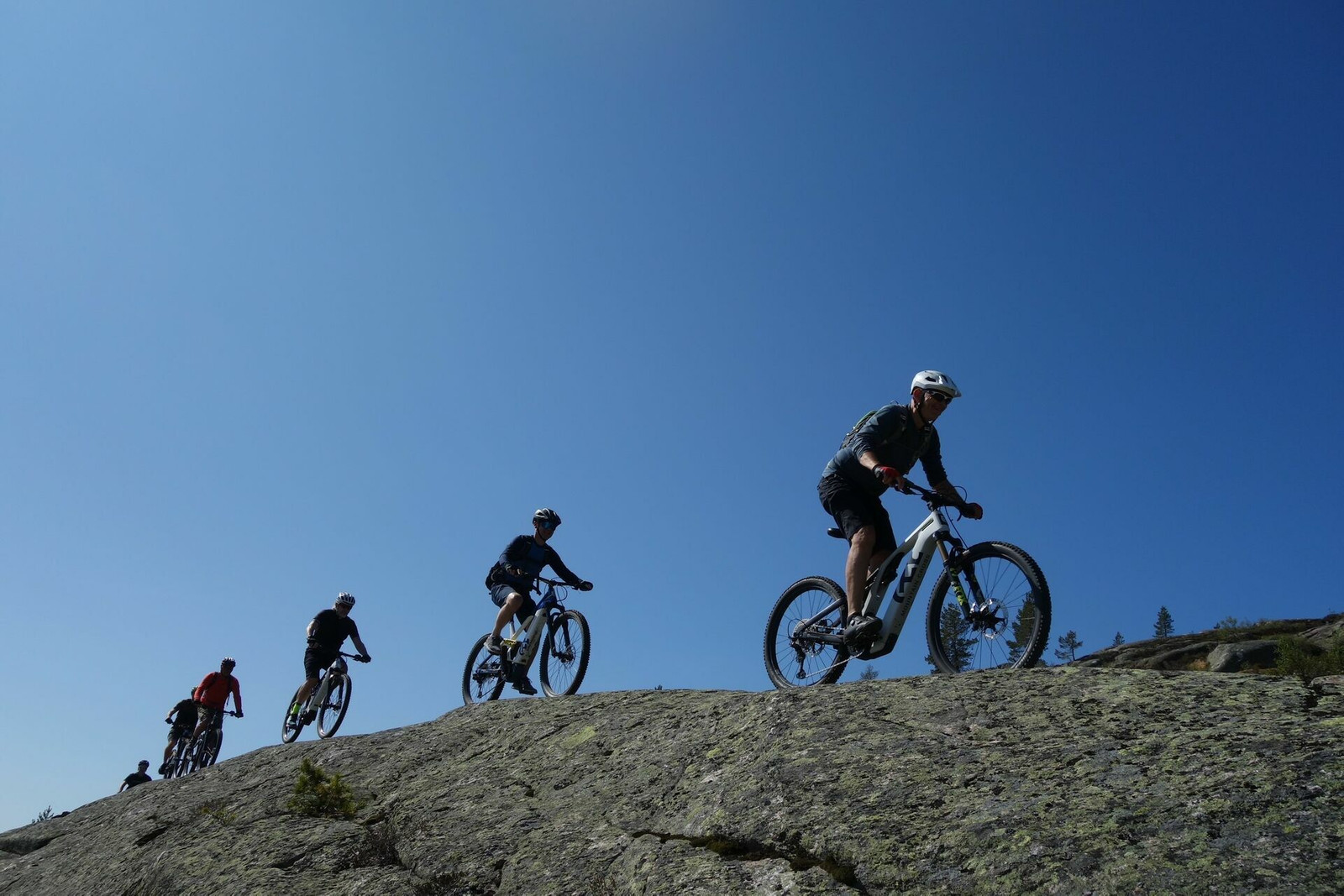
VRÅDAL PANORAMA 1 is a technically quite demanding mountain bike tour in a completely unique and fantastic terrain. Here you will find large open rocky areas typical of this part of Telemark. They make the area and the tour a unique experience. The open landscape and the expansive views in all directions will make this trip something you’ve probably never experienced before.
WE MUST START WITH A WARNING. SVABERGENE IS NOT SUITABLE FOR CYCLING WHEN IT’S RAINING OR WET (WET = SO POOR!!) In other words, this is a good-weather tour, but in return we can promise fantastic cycling in magnificent scenery.
Our tour starts from Straand Hotel and up to the top of the ski lift. If you take the car up and skip the cycling up and down, the trip is shortened by about two miles and you can enjoy the mountain to the full. From the top of the ski lift and the unique sauna you can use after the hike, we largely follow the red-marked foot route in the direction of Hægefjell. First, we’ll warm up a little on the blue-marked cycle path created by some keen cycling enthusiasts with a cabin in the area. Thanks to them (see also Vrådal Panorama 2). A kilometer from the sauna, you need to follow the map carefully, here we drive the ski trail up and have found a bikeable route through a steep and demanding technical section that eventually takes us back on the red-marked trail. In between there are some rolling sections, some you should definitely follow, while others there are ways to get around. Here you’ll just have to try your hand. But on the whole, there’s a wonderful flow into the sva mountains towards Breistøyltjønni where we turned around. From here it’s 3 km up Hægefjell itself, probably also possible by bike for the keenest! On the way back, we played around with alternatives on large rocky areas. We chose one solution, you’re sure to find others, but it’s fun anyway. This is free-riding of the highest order! But again, the area requires good weather and dry ground.
Have a good trip!
Support
This primarily depends on whether you have a GPS installed, navigate by App on your mobile phone or prefer paper printing. Here we describe the most common workflows:
Many of the routes on Hubriding use the app Ride with GPS app for route planning and navigation of the routes. You can download a free version or pay for extended use. Click on the Send to Device link on the map on this page, when the app has started and you see the current route, press Navigate and then just follow the route.