Route 1

Bandaksli

A fantastic route for those looking for something a little off the beaten track. The route is ideal for a morning hike, with lunch in Dalen, or as a leisurely afternoon hike. At the south/east end of Vråvatn you turn off and cross to the west side of the lake.

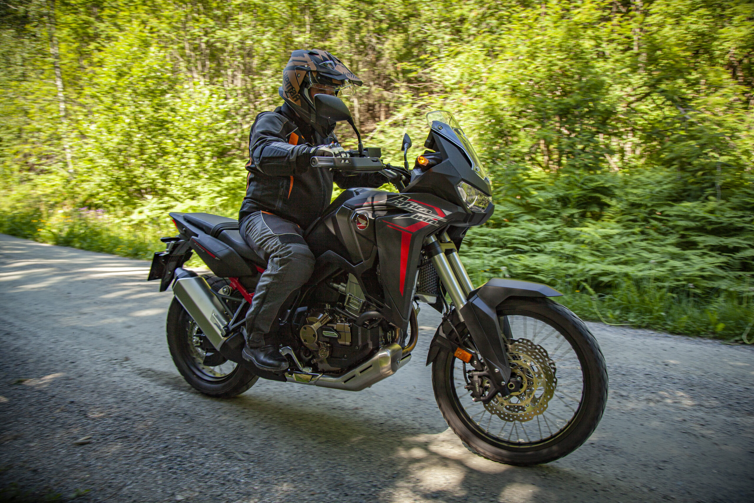
The route is defined as easy

Routes defined as easy are suitable for everyone regardless of experience.

Length
96 km

Popularity
7.5 av 10

Assessed by the number of clicks on this page in the last two weeks compared to all Hubriding routes.

Route 1: Bandaksli

 Route-1_-Bandaksli.gpx  148 KB
Download

It is recommended that the GPS is set to select the fastest route and any avoidance turned off for the route to be calculated as described.

The road winds through a quiet and peaceful landscape. A small section of gravel, but not demanding, this is a wonderful trip for those who want to experience great nature and sights. The route is described as a "must" by experienced motorcyclists.

After driving on the west side of Vråvatn, it’s a short drive on the main road to Dalen, before you can turn off at the old mines in the village of Åmdalsverk and visit the museum. The tour then follows rural roads through small farms and cultural landscapes before arriving at Grimdaltunet, with an impressive exhibition of sculptures for those who wish.

From Grimdaltunet, the road descends to Dalen, with the famous descent to Dalen via a series of “serpentine turns”. Lunch is recommended at the adventure hotel Dalen Hotel, or at the pier where the canal boats MS Victoria and MS Henrik Ibsen dock. There is also an art exhibition here every summer. In 2020, Jostein Hellevik, known from the popular NRK series “Fotobonden”, will be exhibiting his nature photos. From the pier, you can stroll along the banks of the Telemark Canal to the Soria Moria sauna. It lies like a shimmering piece of jewelry in Bandak and is covered in gold shavings.

The route home runs along the banks of the Telemark Canal to Bandaksli on a gravel road. Here there is a toll of 50 kr, which is paid with VIPPS. The road is narrow and you may encounter both cars and cyclists, so take it easy. The road passes through beautiful scenery before ending in Bandaksli with a fantastic ascent. In the middle of all the bends, there are remnants of the old road with a picnic area. Recommended for a stop and enjoy the view of the Telemark Canal. Then the road goes back up to the main road, which winds along Vråvatn back to Straand, with great asphalt, good turns and relatively clear.

Support

How can I navigate the route?

This primarily depends on whether you have a GPS installed, navigate by App on your mobile phone or prefer paper printing.
Here we describe the most common workflows:

  • Download the GPX file for the route of your choice to your computer
  • Import the file to your route planning tool (e.g. Garmin’s Basecamp or Tom Tom’s MyDrive)
  • Export the route to your GPS in the usual way
  • Check that the route is calculated correctly in your GPS (It is recommended that the GPS is set to select the fastest route and any avoidance is turned off for the route to be calculated as described).
  • Have a good trip!
  • Download the GPX file for the route of your choice to your mobile phone
  • Send/open the file in the app that belongs to your GPS model (e.g. Garmin’s Drive or Tom Tom’s MyDrive)
  • Send the route to your GPS (follow instructions that come with your GPS and App)
  • Check that the route is calculated correctly in your GPS (It is recommended that the GPS is set to select the fastest route and any avoidance is turned off for the route to be calculated as described).
  • Have a good trip!

Many of the routes on Hubriding use the app Ride with GPS app for route planning and navigation of the routes.
You can download a free version or pay for extended use.
Click on the Send to Device link on the map on this page, when the app has started and you see the current route, press Navigate and then just follow the route.

  • Click on the link in the map on the page and the map will open in a new window
  • Print the map, with or without description
  • Have a good trip!