Route 7

Dramatic Telemark

This is one of our favorite routes that has everything of Telemark in it. Here you’ll find loopy sweepers, fun and tight turn combinations that run through a completely wild topography.

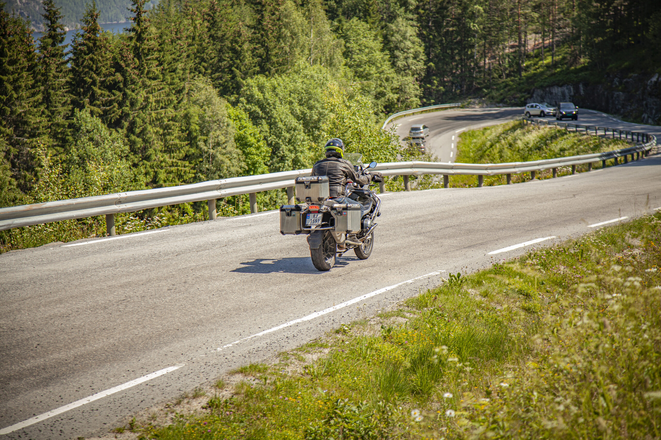
The route is defined as easy

Routes defined as easy are suitable for everyone regardless of experience.

Length
191 km

Popularity
7.5 av 10

Assessed by the number of clicks on this page in the last two weeks compared to all Hubriding routes.

Route 7: Dramatic Telemark

 Route-7_-Dramatiske-Telemark.gpx  209 KB
Download

It is recommended that the GPS is set to select the fastest route and any avoidance turned off for the route to be calculated as described.

The trip from Vådal to Treungen offers a lovely warm-up lap in the summer sun along Nisser.

Once down at Treungen, we recommend a stop at the Z museum, which offers autophile nostalgia and childhood memories. From here, the route takes you through wonderful bends down to Gjøvdal where you take off towards Fyresdal, an utterly delightful motorcycle terrain with hundreds of festive bends up to Nesvatn and further down to Fyresdal. We recommend stopping for a bite to eat at the bakery in Åmli or in Fyresdal. From Fyresdal to Vrådal, the tour first goes via a series of wonderful sweepers to Vråliosen and then the grand finale along Vråvatn back to the hotel.

Support

How can I navigate the route?

This primarily depends on whether you have a GPS installed, navigate by App on your mobile phone or prefer paper printing.
Here we describe the most common workflows:

  • Download the GPX file for the route of your choice to your computer
  • Import the file to your route planning tool (e.g. Garmin’s Basecamp or Tom Tom’s MyDrive)
  • Export the route to your GPS in the usual way
  • Check that the route is calculated correctly in your GPS (It is recommended that the GPS is set to select the fastest route and any avoidance is turned off for the route to be calculated as described).
  • Have a good trip!
  • Download the GPX file for the route of your choice to your mobile phone
  • Send/open the file in the app that belongs to your GPS model (e.g. Garmin’s Drive or Tom Tom’s MyDrive)
  • Send the route to your GPS (follow instructions that come with your GPS and App)
  • Check that the route is calculated correctly in your GPS (It is recommended that the GPS is set to select the fastest route and any avoidance is turned off for the route to be calculated as described).
  • Have a good trip!

Many of the routes on Hubriding use the app Ride with GPS app for route planning and navigation of the routes.
You can download a free version or pay for extended use.
Click on the Send to Device link on the map on this page, when the app has started and you see the current route, press Navigate and then just follow the route.

  • Click on the link in the map on the page and the map will open in a new window
  • Print the map, with or without description
  • Have a good trip!