Warning: foreach() argument must be of type array|object, bool given in /var/www/vhosts/hubriding.no/httpdocs/wp-content/plugins/hubriding_cf/includes/php/hub_dynamic_return.php on line 12
HubridingStraand Hotel

Telemarkskanalen, short bike ride

Route 3

Telemarkskanalen, short bike ride

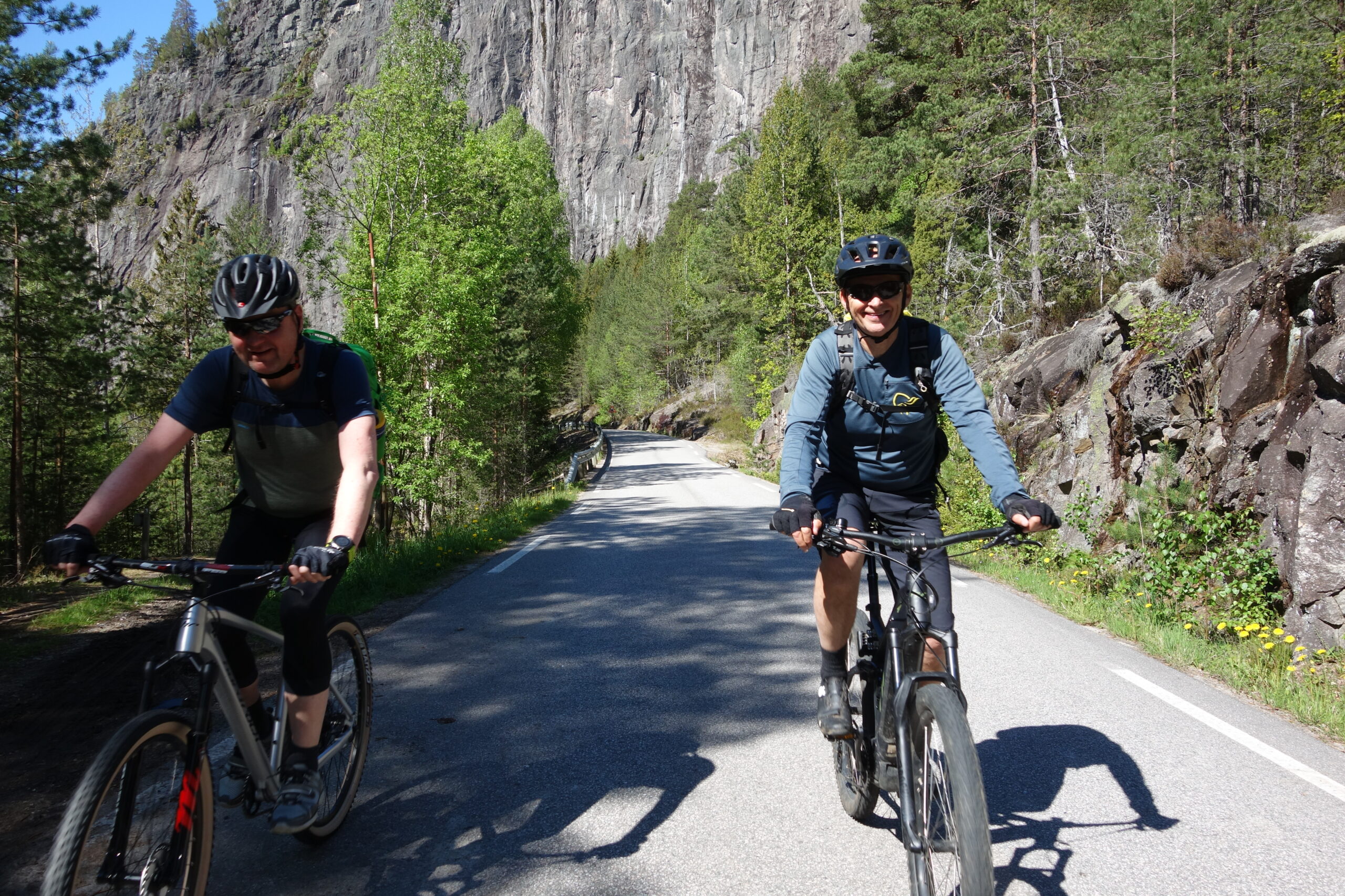
The route is defined as easy

Routes defined as easy are suitable for everyone regardless of experience.

Tid
2:00 timer

Length
29 km

Popularity
7.5 av 10

Assessed by the number of clicks on this page in the last two weeks compared to all Hubriding routes.

Route 3: Telemarkskanalen, short bike ride

 STT3_-_Sykling_og_bat_langs_Telemarkskanalen_kort.gpx  23 KB
Download

It is recommended that the GPS is set to select the fastest route and any avoidance turned off for the route to be calculated as described.

This is a shorter version of route 2 where you also get to experience the Telemark Canal along Kviteseidvatn.
The canal boat leaves Fjågesund at 15:10 (15:20 on some days) and takes you "home" to Spjotsodd pier at 16:00 (Mon, Wed, Fri, Sun) or Kviteseid pier (Tue, Thu, Sat) at 16:20.

From here, you have a short trip back up the Kviteseid Kleievene (just over 300 vertical meters) before you can roll down to Vrådal again.
From Kviteseid, it’s a few kilometers and altitude meters further, and you should probably calculate 1 and 1.5 hours on the return trip depending on which pier you start from.A tip is to bring a car to Kviteseid bygdetun for transport home.
That way you can avoid the Kviteseid rivers, which for some may be demanding at the end of a long day.
You can also book transportation from the canal boat and back to the hotel, please contact the hotel.

NB!
There may be limited capacity on the canal boats in high season.
Book a ticket for you and your bike in advance here. https://www.telemarkskanalen.no/rutetider-og-priser

Support

How can I navigate the route?

This primarily depends on whether you have a GPS installed, navigate by App on your mobile phone or prefer paper printing.
Here we describe the most common workflows:

  • Download the GPX file for the route of your choice to your computer
  • Import the file to your route planning tool (e.g. Garmin’s Basecamp or Tom Tom’s MyDrive)
  • Export the route to your GPS in the usual way
  • Check that the route is calculated correctly in your GPS (It is recommended that the GPS is set to select the fastest route and any avoidance is turned off for the route to be calculated as described).
  • Have a good trip!
  • Download the GPX file for the route of your choice to your mobile phone
  • Send/open the file in the app that belongs to your GPS model (e.g. Garmin’s Drive or Tom Tom’s MyDrive)
  • Send the route to your GPS (follow instructions that come with your GPS and App)
  • Check that the route is calculated correctly in your GPS (It is recommended that the GPS is set to select the fastest route and any avoidance is turned off for the route to be calculated as described).
  • Have a good trip!

Many of the routes on Hubriding use the app Ride with GPS app for route planning and navigation of the routes.
You can download a free version or pay for extended use.
Click on the Send to Device link on the map on this page, when the app has started and you see the current route, press Navigate and then just follow the route.

  • Click on the link in the map on the page and the map will open in a new window
  • Print the map, with or without description
  • Have a good trip!