Warning: foreach() argument must be of type array|object, bool given in /var/www/vhosts/hubriding.no/httpdocs/wp-content/plugins/hubriding_cf/includes/php/hub_dynamic_return.php on line 12
HubridingNermo Hotel

Hunderfossen - Fåberg

Route 3

Hunderfossen - Fåberg

This is a family tour that takes you to or past the Norwegian Road Museum, Hunderfossen Family Park, the bobsleigh track and Lilleputthammer. Check at the bottom of the description for more alternative lengths and route options for this tour.

The route is defined as easy

Routes defined as easy are suitable for everyone regardless of experience.

Tid
2:30 timer

Length
26 km

Popularity
7.5 av 10

Assessed by the number of clicks on this page in the last two weeks compared to all Hubriding routes.

You descend from the hotel on a pedestrian and cycle path and partly on pavement.
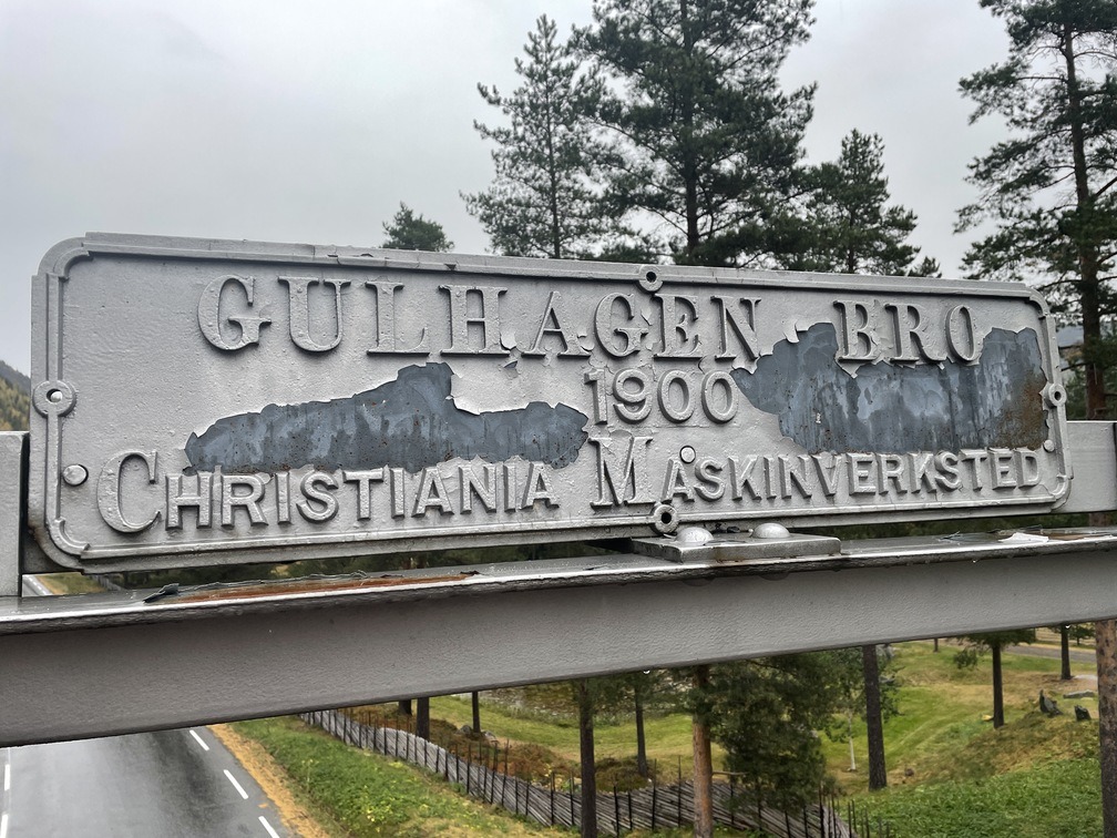
Keep right at the first junction (Gamlevegen) and head down Granrudvegen through Øyer, turn right onto Hundervegen, continue under the E6 and on the bridge over Lågen.
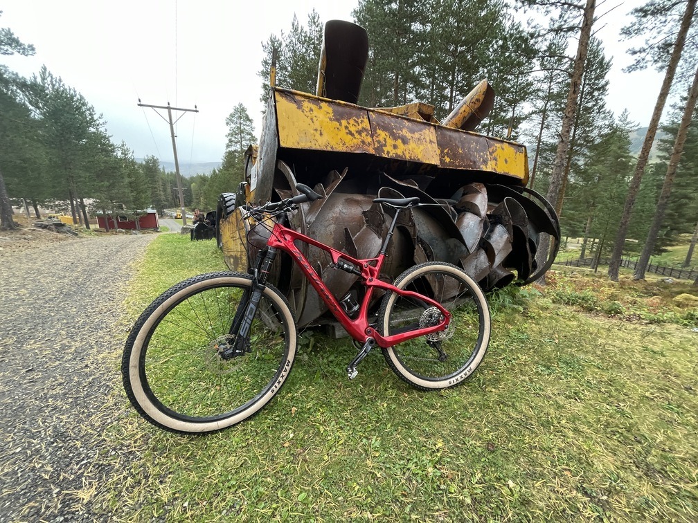
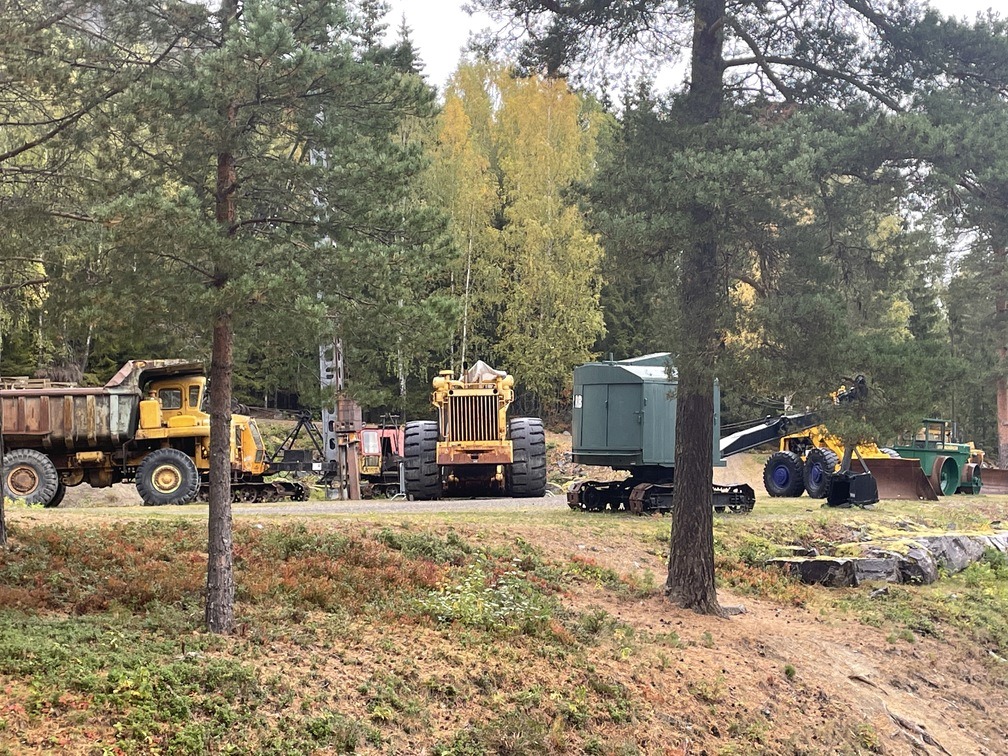
From here, follow the asphalt road for a while, but keep an eye on the directions and you'll find the carriageway on the left that takes you straight into the area of the Norwegian Road Museum.
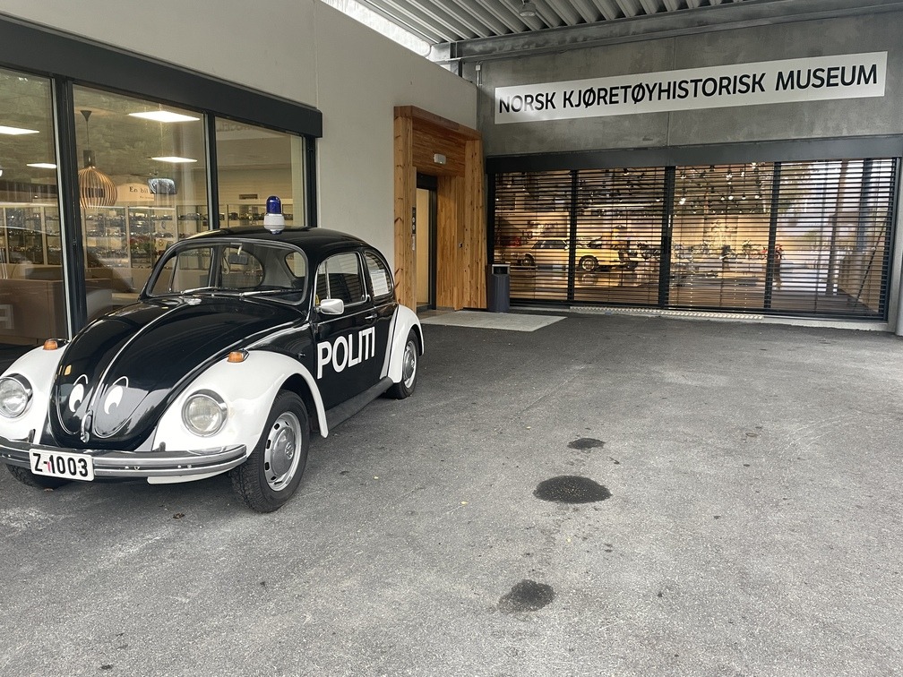
It's a great place to ride around and look at older machines before stopping by the museum itself with Pelle the police car and lots of other exciting things.

The Road Museum has a large museum park with road systems, facilities, machines and older buildings, such as a bus station, workshop and gas station.
Here you’ll also find the Norwegian Vehicle History Museum with an extensive collection of cars, motorcycles, mopeds and pedal cycles.
You’ll then drive straight over to Hunderfossen Adventure Park, one of Norway’s biggest tourist attractions with more than 60 attractions and sights.
Ivo Caprino’s work is a recurring theme in the park.
The large troll houses a hall with several fairytale tableaux from Asbjørnsen and Moe’s Norwegian folk tales. On the hillside behind the park is Northern Europe’s only artificially frozen bobsleigh and toboggan run.
Built for the 1994 Olympics, the 1.7 km long facility is still in full operation.
It is also open to the public in the summer, with a wheeled bobsleigh that takes the family safely down the winding track at full speed!
From the bobsleigh track, the route runs about 7 km south on asphalt until you drive over Lågen and into Fåberg.
At the top of the hill, turn left onto Thomas Jørstads veg, where you’ll see signs for the pilgrimage route to Nidaros.
Soon you’ll be on Gudbrandsdalsvegen, which you follow all the way back to Øyer town center.
Here you may experience traffic with cabin owners who are looking forward to getting to the mountains, so take advantage of the opportunities to avoid traffic, such as Anderstuguvegen.
Keep right after passing Hafjell Alpinsenter and follow signs for Nermo hotel.
There is a pleasant gravel footpath and cycle path up to the hotel.
If you’re cycling with children, you may want to end your trip in Lilleputthammer in the center of Øyer before rounding up to the hotel.
Lilleputthammer is a fun family park for the little ones. Alternatives: If you’ve had enough of Hunderfossen Adventure Park or you want to shorten this trip, you can cycle over the seven meter high dam and Hunderfossen itself.
The dam is 300 meters long and has pedestrian and cycle paths.
The waterfall is used for power generation.
A fish ladder has been built next to the waterfall.
Then you cycle under the E6 and connect to Gudbrandsdalsvegen and the route back to the hotel there.
This makes the trip about 10 km.
If the family park is the goal and motivation for the younger ones, you can alternatively take the trip in the opposite direction so that the fun comes towards the end of the trip.
If you really want to experience the attractions along this trail, it can quickly become a day trip whether you choose the short or the long variant.

Support

How can I navigate the route?

This primarily depends on whether you have a GPS installed, navigate by App on your mobile phone or prefer paper printing.
Here we describe the most common workflows:

  • Download the GPX file for the route of your choice to your computer
  • Import the file to your route planning tool (e.g. Garmin’s Basecamp or Tom Tom’s MyDrive)
  • Export the route to your GPS in the usual way
  • Check that the route is calculated correctly in your GPS (It is recommended that the GPS is set to select the fastest route and any avoidance is turned off for the route to be calculated as described).
  • Have a good trip!
  • Download the GPX file for the route of your choice to your mobile phone
  • Send/open the file in the app that belongs to your GPS model (e.g. Garmin’s Drive or Tom Tom’s MyDrive)
  • Send the route to your GPS (follow instructions that come with your GPS and App)
  • Check that the route is calculated correctly in your GPS (It is recommended that the GPS is set to select the fastest route and any avoidance is turned off for the route to be calculated as described).
  • Have a good trip!

Many of the routes on Hubriding use the app Ride with GPS app for route planning and navigation of the routes.
You can download a free version or pay for extended use.
Click on the Send to Device link on the map on this page, when the app has started and you see the current route, press Navigate and then just follow the route.

  • Click on the link in the map on the page and the map will open in a new window
  • Print the map, with or without description
  • Have a good trip!