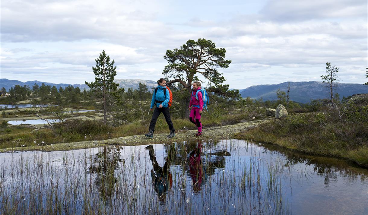
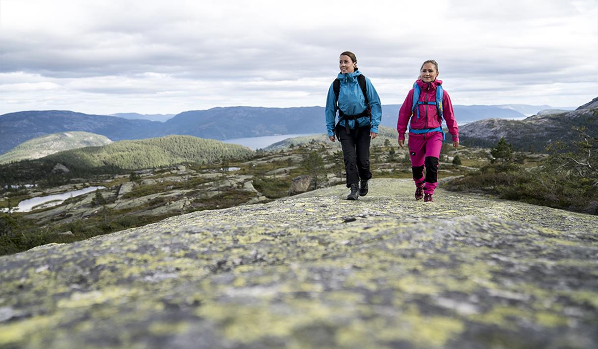
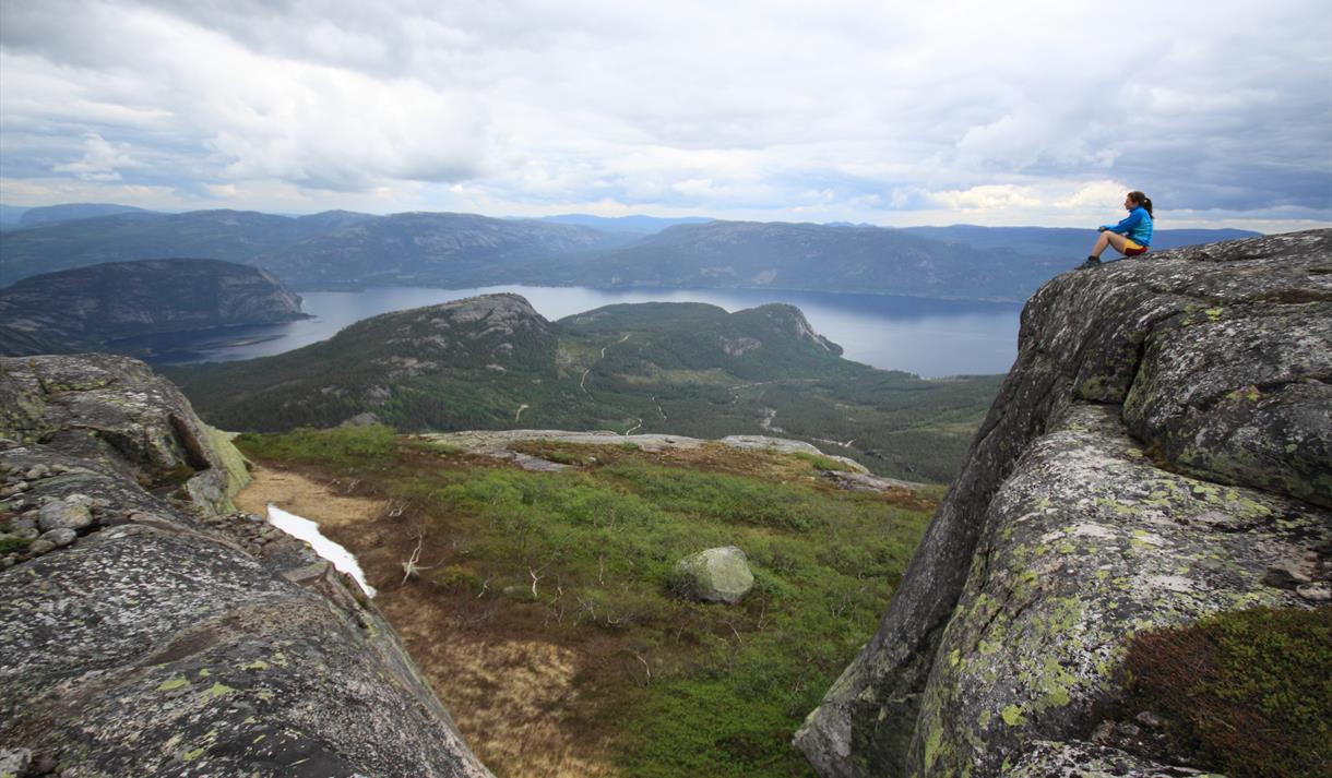
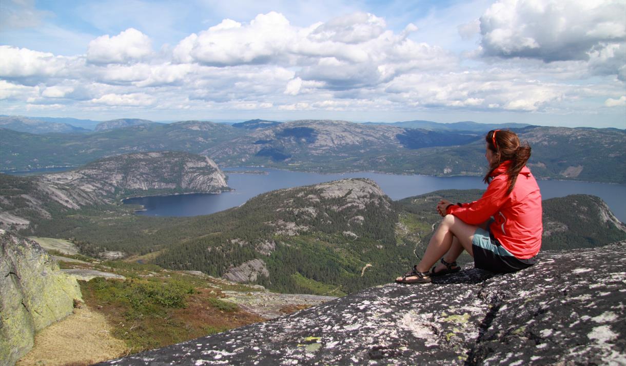
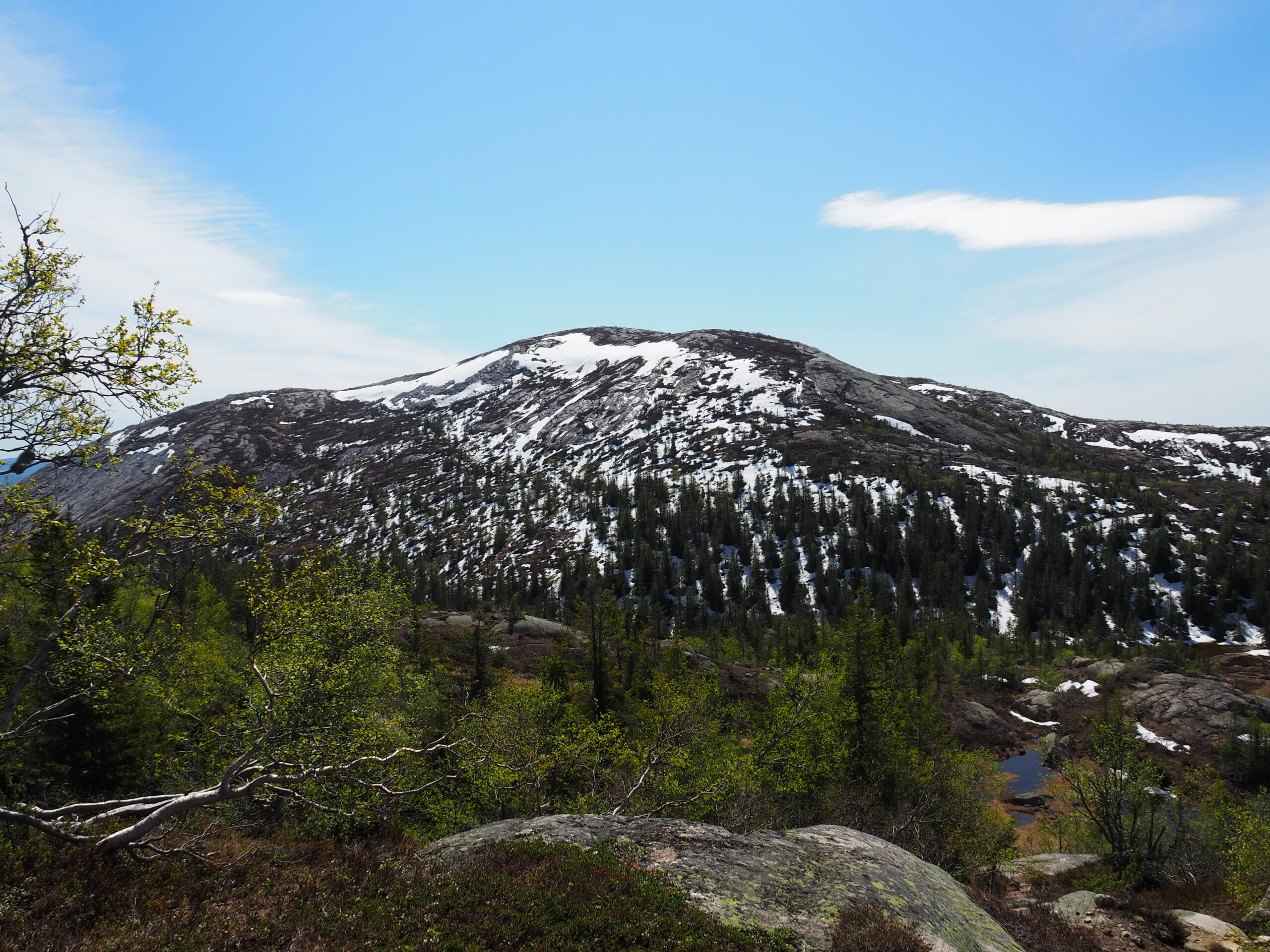
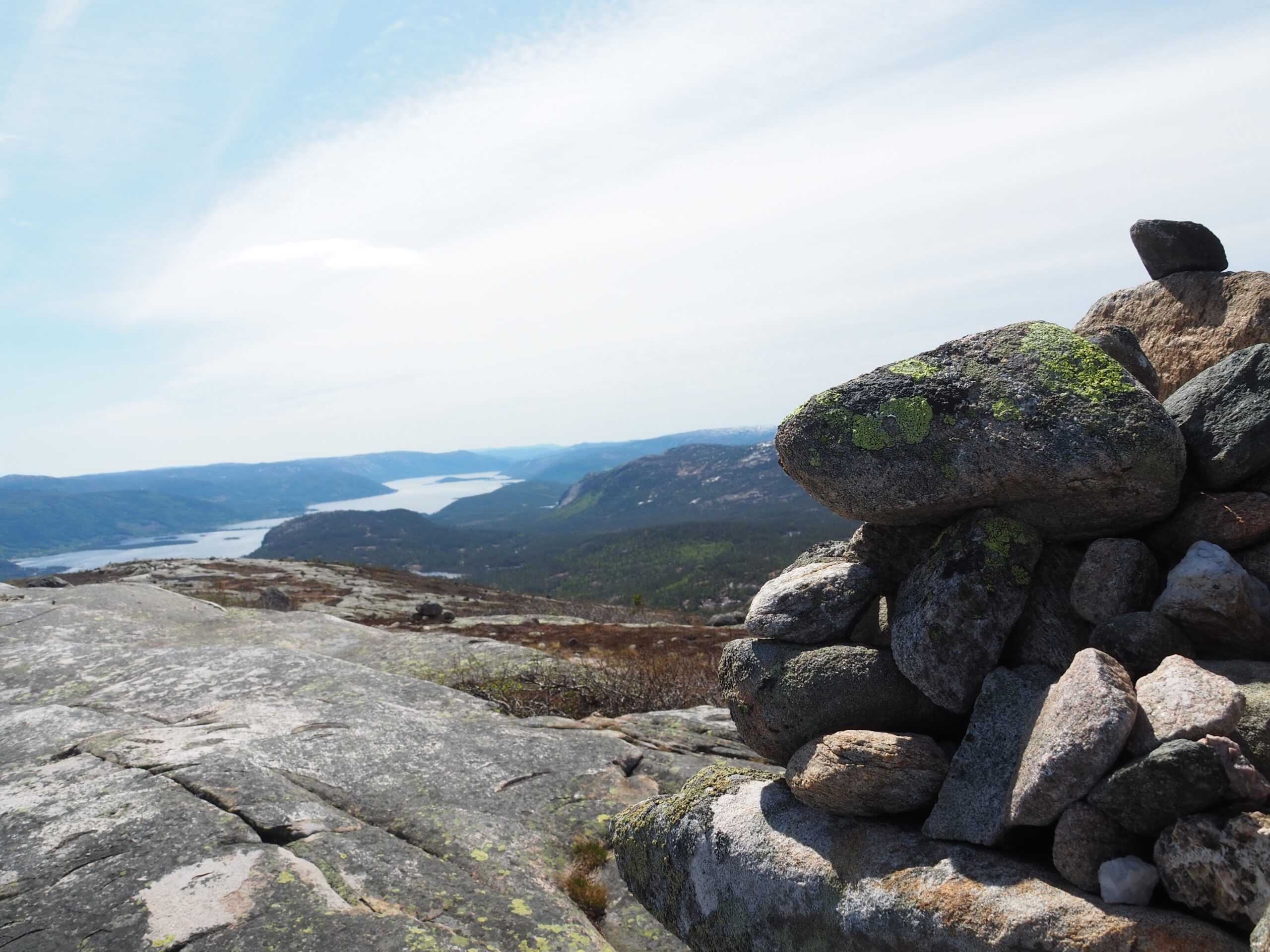
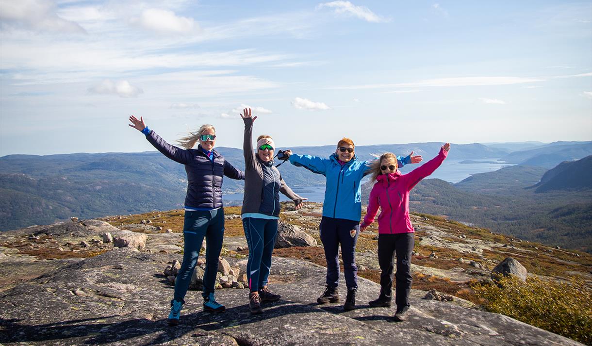
Warning: foreach() argument must be of type array|object, bool given in /var/www/vhosts/hubriding.no/httpdocs/wp-content/plugins/hubriding_cf/includes/php/hub_dynamic_return.php on line 12
HubridingStraand Hotel

Vrådal Panorama - Hægefjell

Route 3

Vrådal Panorama - Hægefjell

Climb to the majestic peak of Hægefjell. The hike offers fine mountain terrain and fantastic views. Hægefjell is made of magma from the earth’s interior. The name of the rock is gneiss granite and this species is the origin of the beautiful sandy beaches that can be found all along Vråvatn and Nisser.

The route is defined as hard

Routes defined as demanding are suitable for people with experience in demanding parties.

Tid
6:00 timer

Length
14 km

Popularity
7.5 av 10

Assessed by the number of clicks on this page in the last two weeks compared to all Hubriding routes.

We recommend that you follow the marked trail to Hægefjell.
Feel free to take a few detours if you wish. Have a good trip.
Remember to bring a snack and drink.

This is a beautiful hike to the majestic mountain peak of Hægefjell.
The hike offers fine mountain terrain and fantastic views along a well-marked trail.
For most people, this is a day trip of approx.
6 hours.
You can start at Vrådal Panorama ski center and head up to Tverrfjellet.
It is also possible to start at the top of Vrådal Panorama ski center and take the toll road to the top of the mountain.
Park at Utsikten cafe or at the very top by the sauna.
There, the hiking trail, marked in red, goes past Luktarhola, Sveigefjell, Brennstøylnuten and Hægefjellskardet and up to the top of Hægefjell.
From Hægefjell, follow the same trail back to the starting point.
It is also possible to continue down to Nissedal and Fjone.
This is a moderately demanding hike with great panoramic views of Vrådal and the lakes Nisser and Vråvatn.
The hike is great whether you want to walk all or just parts of the hike.
From Stemnetten and into the mountain, you’ll have a wide view in all directions.
You’ll mostly be walking on rock, but there are some damp sections too.
Remember good footwear and a windbreaker!

Support

How can I navigate the route?

This primarily depends on whether you have a GPS installed, navigate by App on your mobile phone or prefer paper printing.
Here we describe the most common workflows:

  • Download the GPX file for the route of your choice to your computer
  • Import the file to your route planning tool (e.g. Garmin’s Basecamp or Tom Tom’s MyDrive)
  • Export the route to your GPS in the usual way
  • Check that the route is calculated correctly in your GPS (It is recommended that the GPS is set to select the fastest route and any avoidance is turned off for the route to be calculated as described).
  • Have a good trip!
  • Download the GPX file for the route of your choice to your mobile phone
  • Send/open the file in the app that belongs to your GPS model (e.g. Garmin’s Drive or Tom Tom’s MyDrive)
  • Send the route to your GPS (follow instructions that come with your GPS and App)
  • Check that the route is calculated correctly in your GPS (It is recommended that the GPS is set to select the fastest route and any avoidance is turned off for the route to be calculated as described).
  • Have a good trip!

Many of the routes on Hubriding use the app Ride with GPS app for route planning and navigation of the routes.
You can download a free version or pay for extended use.
Click on the Send to Device link on the map on this page, when the app has started and you see the current route, press Navigate and then just follow the route.

  • Click on the link in the map on the page and the map will open in a new window
  • Print the map, with or without description
  • Have a good trip!