The route is defined as demanding
Routes defined as demanding are suitable for people with experience in demanding parties.Length
43 km
Popularity
7.5 av 10
If you're looking to burn off some calories or maybe a little frustration, we have the medicine you need.
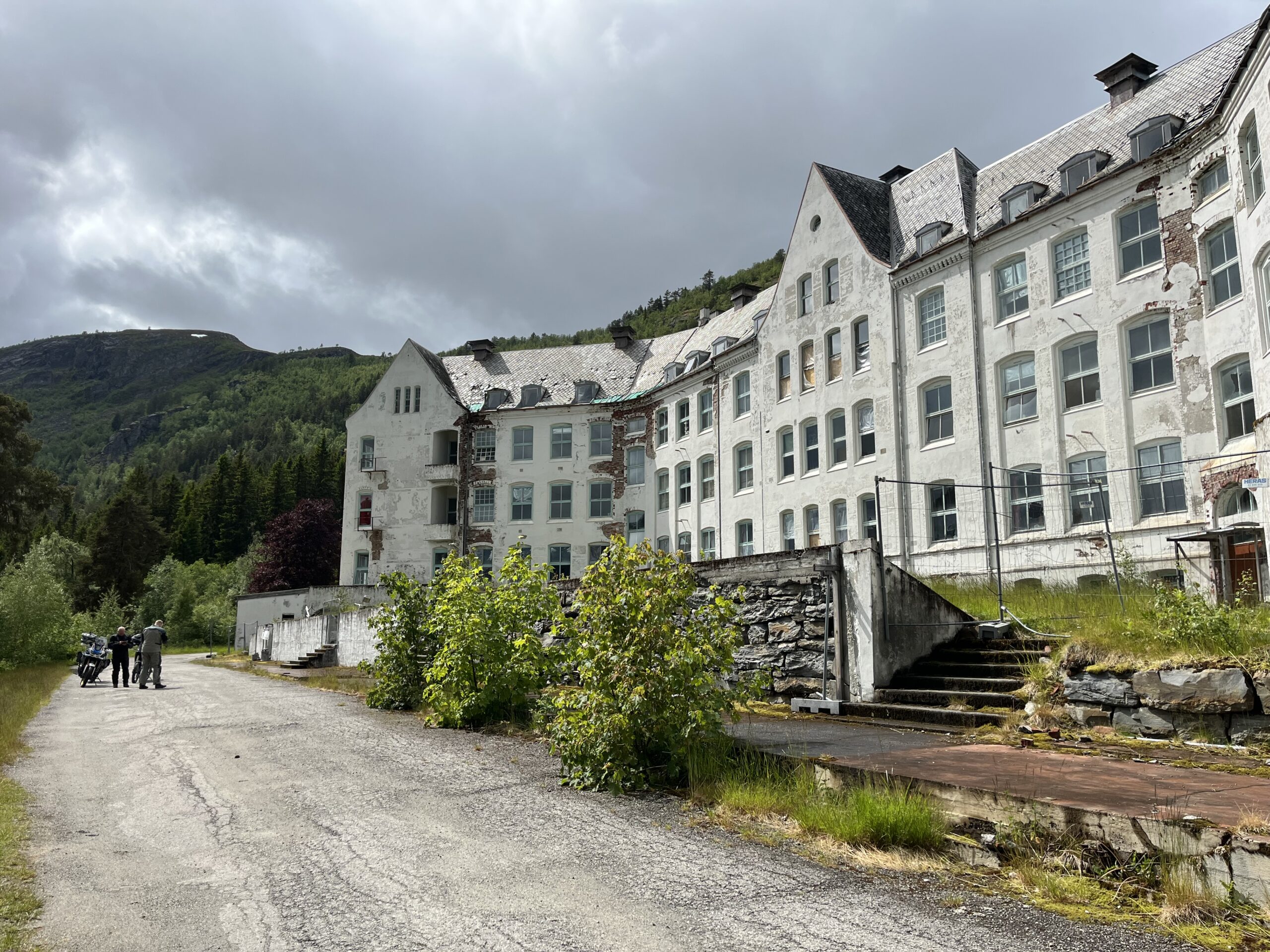
Route 6 should be regarded as pure recreation and fun for drivers who have been driving on gravel for a while. The trip goes out along the fjord in nice and festive bends to Luster where you turn onto Steinbakken up in the mountains towards the otherwise well-known sanatorium Harastølen. Here you quickly climb a winding gravel road up to the sanatorium itself, which is a sight in itself. The history of the sanatorium dates back to 1902 where tuberculosis patients were treated in the dry climate until 1955. Later, Harastølen was used as a psychiatric hospital and has thus acquired a slightly sinister history. It is claimed that Harastølen is haunted and the horror film Villmark was later filmed here.
We dropped 50 kroner and made it all the way up to Røssesete at 1240 m.a.s.l.
If you drive around the hospital and keep right into the forest, you’ll find a forest road with a VIPS station. If you pay 50 kroner, you’ll get a great experience on the winding and steep road up to Røssesete at the end of the road. This is a hairy trip where you really get to test your skills. If it’s wet, this will be equally demanding and you should therefore not drive up here alone.
This stretch is quite intense and very fun to drive for those who have driven on gravel before.
Support
This primarily depends on whether you have a GPS installed, navigate by App on your mobile phone or prefer paper printing. Here we describe the most common workflows:
Many of the routes on Hubriding use the app Ride with GPS app for route planning and navigation of the routes. You can download a free version or pay for extended use. Click on the Send to Device link on the map on this page, when the app has started and you see the current route, press Navigate and then just follow the route.