HubridingSkjolden Hotel

Fjord & Fjell Ofredaltunnelen

Route 5

Fjord & Fjell Ofredaltunnelen

Route 5 can best be described as a small piece of Norway, where you can experience everything Norway has and stands for: the sea, the deep fjords and Sognefjellet itself. All wrapped up in magnificent sights and great impressions for a motorcyclist. This is a ride you will enjoy sharing with other like-minded people.

The route is defined as normal

Routes defined as normal are suitable for most people who have experience with somewhat demanding sections.

Length
180 km

Popularity
7.5 av 10

Assessed by the number of clicks on this page in the last two weeks compared to all Hubriding routes.

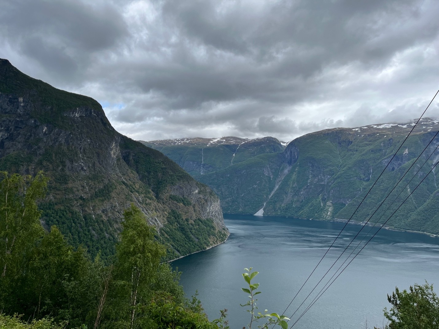
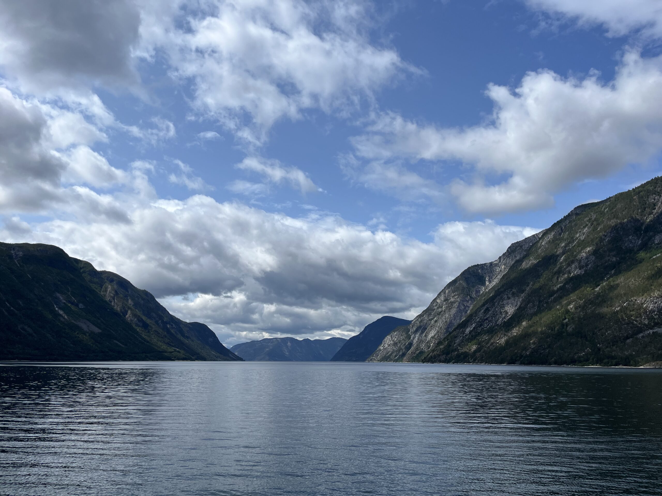
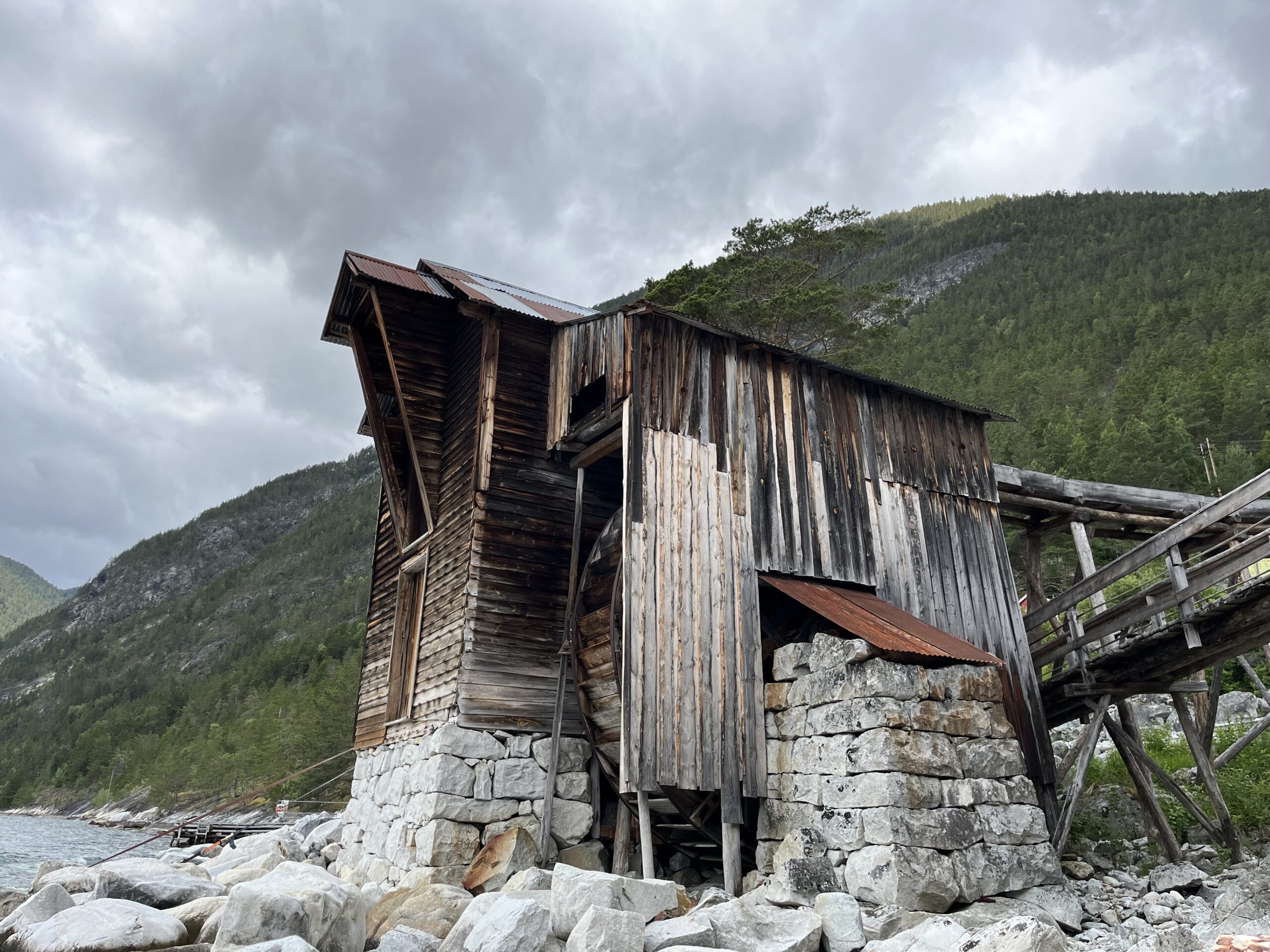
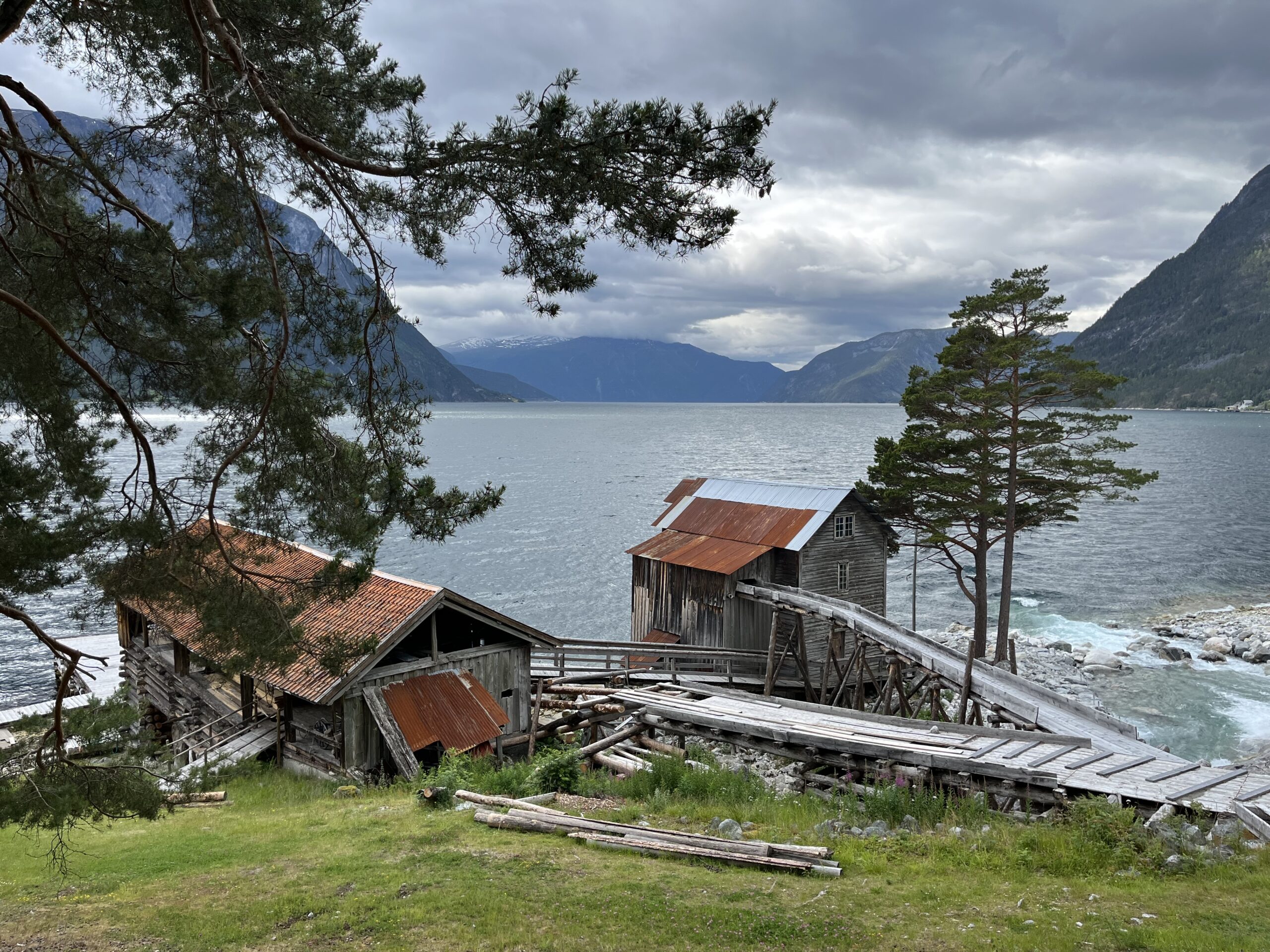
Route 5 can best be described as a small piece of Norway, because here you can experience everything Norway has and stands for: the sea, the deep fjords and Sognefjellet itself.

On this tour, you’ll once again be able to indulge in wonderful bends and lots of terrain, a total of 3,834 vertical meters spread over two spectacular mountain sections in particular that you’ll never forget. The sights are many and striking and will therefore make an impression.

Like everyone else, route 5 also starts at the bottom of the Sognefjord and the first stage of about 6 miles goes west out of the fjord to Sogndal on wonderful and very varied bends. The first 60 km consists only of bends, but the road alternates between short, tight bends and sweepers that allow some speed and good flow. On the way out, there’s plenty to look at, especially the old and well-kept buildings at the very edge of the beach. After you pass Sogndal, the route follows fine sweepers and a tunnel to Mannhelleren where you take the ferry to Fodnes. From Fodnes, the trip continues to Årdalstangen on RV 53 and here you can let off some steam on the well-shaped and smooth sweepers. Årdalstangen is characterized by Hydro’s presence and it is definitely worth stopping here for lunch.

After Årdalstangen, the most special and spectacular part of this trip starts, which goes into the fjord from Årdalstangen and up the mountain on the way to Indre Offerdal, which was the municipal center in the really old days. At the top of the mountain (after what you perceive as the summit) you drive into the world’s steepest tunnel that has a gradient of 16 degrees. You emerge at the top of the mountain and now drive into a new valley that almost feels like the hidden world from the movie Jurassic Park. This is like traveling into another time where you are disconnected from the rest of the world, in here you live in your own way with its challenges and its opportunities. On the way down to the old municipal center, you drive down a spectacular and lush valley that at the bottom consists of a gravel section. If you’re driving on normal street tires, you need to take it very easy in this section, which is not long but a bit technical, so be careful here.

The small community at the bottom of Indre Offerdal is as spectacular as it is special, and today volunteers take care of the buildings and the storytelling that is truly something special. We met Bernhard who was one of many passionate storytellers in here.

From inner Offerdal, the road goes back first straight up, then down through the tunnel, which this time plunges by as much as 16 degrees. It’s wet inside the mountain and can therefore be a little slippery at the top of the tunnel, so be careful and drive slowly in low gear so that you don’t have to brake suddenly and sharply.

Once you’re back in Årdal, the tour takes you via Øvre Årdal, over the mountains on the beautiful Tindevegen road, which in itself is a very special section to drive. If you have time, we recommend a short coffee stop at Turtagrø Fjellstue before rolling the last charming bends down to Fortun and Skjolden. You will then have had a unique driving day with lots of great experiences.

Support

How can I navigate the route?

This primarily depends on whether you have a GPS installed, navigate by App on your mobile phone or prefer paper printing. Here we describe the most common workflows:

  • Download the GPX file for the route of your choice to your computer
  • Import the file to your route planning tool (e.g. Garmin’s Basecamp or Tom Tom’s MyDrive)
  • Export the route to your GPS in the usual way
  • Check that the route is calculated correctly in your GPS (It is recommended that the GPS is set to select the fastest route and any avoidance is turned off for the route to be calculated as described).
  • Have a good trip!
  • Download the GPX file for the route of your choice to your mobile phone
  • Send/open the file in the app that belongs to your GPS model (e.g. Garmin’s Drive or Tom Tom’s MyDrive)
  • Send the route to your GPS (follow instructions that come with your GPS and App)
  • Check that the route is calculated correctly in your GPS (It is recommended that the GPS is set to select the fastest route and any avoidance is turned off for the route to be calculated as described).
  • Have a good trip!

Many of the routes on Hubriding use the app Ride with GPS app for route planning and navigation of the routes. You can download a free version or pay for extended use. Click on the Send to Device link on the map on this page, when the app has started and you see the current route, press Navigate and then just follow the route.

  • Click on the link in the map on the page and the map will open in a new window
  • Print the map, with or without description
  • Have a good trip!