HubridingTelemarkStraand Hotel

Valle track to Lysebotn

Route 9

Valle track to Lysebotn

This is one of Norway’s most beautiful day trips, which runs from east to west before returning to Vrådal after a spectacular visit to Lysebotn.

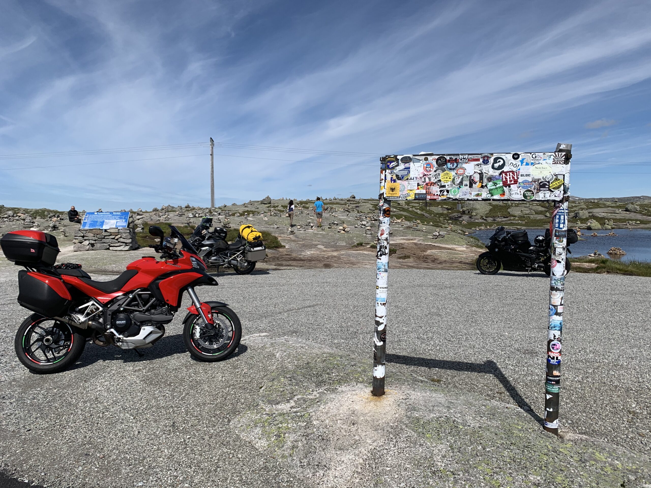
The route is defined as easy

Routes defined as easy are suitable for everyone regardless of experience.

Length
360 km

Popularity
7.5 av 10

Assessed by the number of clicks on this page in the last two weeks compared to all Hubriding routes.

Route 9: Valle track to Lysebotn

 Route-9_-Valle-Sporet-til-Lysebotn.gpx  373 KB
Download

It is recommended that the GPS is set to select the fastest route and any avoidance turned off for the route to be calculated as described.

A day packed with great impressions and experiences. The whole trip takes about 10 hours, so this will be a really long day with a lot of varied driving and great nature experiences.

The trip starts along Vråvatn with everything from gentle sweepers to tight, fun hairpins up towards Åmdals verk up to Grimsstøl where you drive onto RV 45 or Borsævegen towards Valle in Setesdal. The mountain section is beautiful to drive with nice curves and good flow. We recommend a coffee or food break in Valle before starting the wonderful trip over the mountain to Suleskard, a delightful stretch of road with a relatively narrow road and many lovely bends. On the mountain pass, there are sheep along the highway, but they are used to seeing vehicles so they lie still, but be careful. The trip down from Suleskard is fantastically winding, so you can look forward to driving back up on the return trip, which is a completely new route with new views and new experiences. At the bottom of the mountain, turn right onto Lyseveien, which leads to the lookout point and café in Lysebotn. This is a piece of Norwegian fairground road with 40 to 80 turns that are absolutely fantastic. We recommend stopping at the lookout point before playing your way down and up to the Lysefjord. The return to Vrådal is a whole new experience and just as wonderful. It’s a long trip, so don’t embark on it without a few miles under your belt and some experience.

Support

How can I navigate the route?

This primarily depends on whether you have a GPS installed, navigate by App on your mobile phone or prefer paper printing.
Here we describe the most common workflows:

  • Download the GPX file for the route of your choice to your computer
  • Import the file to your route planning tool (e.g. Garmin’s Basecamp or Tom Tom’s MyDrive)
  • Export the route to your GPS in the usual way
  • Check that the route is calculated correctly in your GPS (It is recommended that the GPS is set to select the fastest route and any avoidance is turned off for the route to be calculated as described).
  • Have a good trip!
  • Download the GPX file for the route of your choice to your mobile phone
  • Send/open the file in the app that belongs to your GPS model (e.g. Garmin’s Drive or Tom Tom’s MyDrive)
  • Send the route to your GPS (follow instructions that come with your GPS and App)
  • Check that the route is calculated correctly in your GPS (It is recommended that the GPS is set to select the fastest route and any avoidance is turned off for the route to be calculated as described).
  • Have a good trip!

Many of the routes on Hubriding use the app Ride with GPS app for route planning and navigation of the routes.
You can download a free version or pay for extended use.
Click on the Send to Device link on the map on this page, when the app has started and you see the current route, press Navigate and then just follow the route.

  • Click on the link in the map on the page and the map will open in a new window
  • Print the map, with or without description
  • Have a good trip!