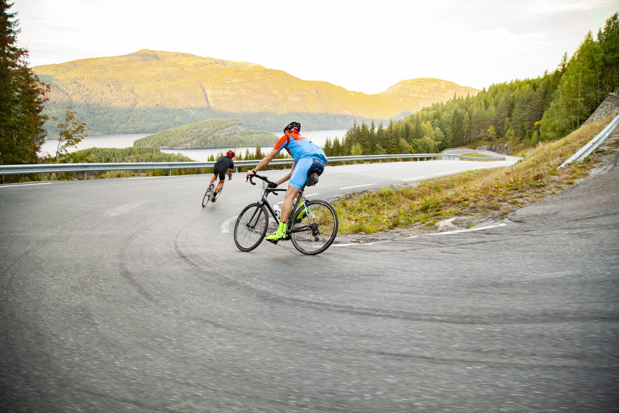
The route is defined as normal
Routes defined as normal are suitable for most people who have experience with somewhat demanding sections.Length
154 km
Popularity
4.2 av 10
Route 9: Telemark Canal
It is recommended that the GPS is set to select the fastest route and any Avoidance turned off for the route to be calculated as described.
The trip along the Telemark Canal via Fjågesund and Flåvatn down to Lunde is simply beautiful, but also a little demanding with many elevation changes.
The road is charming, so it’s important to keep an eye out for oncoming traffic that can come up fast when you’re tempted to enjoy the beautiful views.
The road from Lunde to Ulefoss is slightly better and flatter, but just as charming.
The stage from Ulefoss to Gvarv is recommended on pedestrian/cycle paths and side roads as the traffic along Rv36 can be heavy and with some tunnels.
The road to Bø goes via Gvarv center and up to Hørte through a lighter agricultural landscape up to Folkestad where you choose Vreimsida and Garvikveien up to Seljord.
The trip up to Seljord is beautiful and slightly hilly and can be enjoyed as a nature experience along Seljordvatnet.
From Seljord, the route follows the busy E-134 for a short distance.
To minimize cycling on the E-134, we have chosen to add the trip via Seljord center up the old E-134 to Nordbygda.
After a short stage and a bit of a climb along the E-134, you can turn off at Brunkeberg and enjoy the ride down to Kviteseid, where we recommend a café stop in the charming village where you once again meet the Telemark Canal.
Here you’ll enjoy good coffee and delicious baked goods before taking the final climb up the somewhat demanding Kviteseid Kleivene, which takes you back to the hotel where you can rest and stretch out before a delicious meal and relaxation on the roof terrace.
Support
This primarily depends on whether you have a GPS installed, navigate by App on your mobile phone or prefer paper printing. Here we describe the most common workflows:
Many of the routes on Hubriding use the app Ride with GPS app for route planning and navigation of the routes. You can download a free version or pay for extended use. Click on the Send to Device link on the map on this page, when the app has started and you see the current route, press Navigate and then just follow the route.