HubridingGamlaVærketKronen Gaard Hotel

Lysefjord route via Seldal

Rute 9

Lysefjord route via Seldal

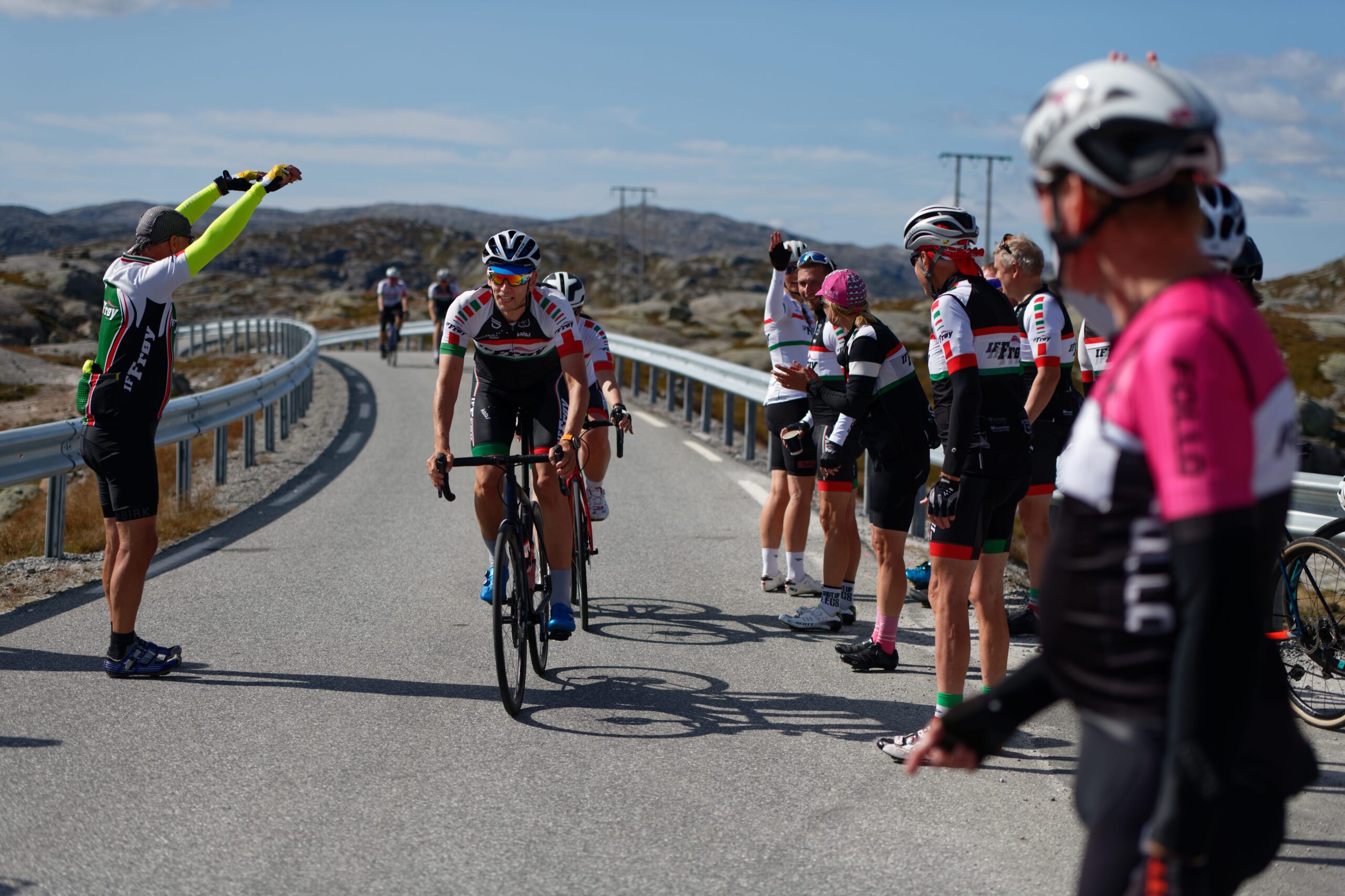
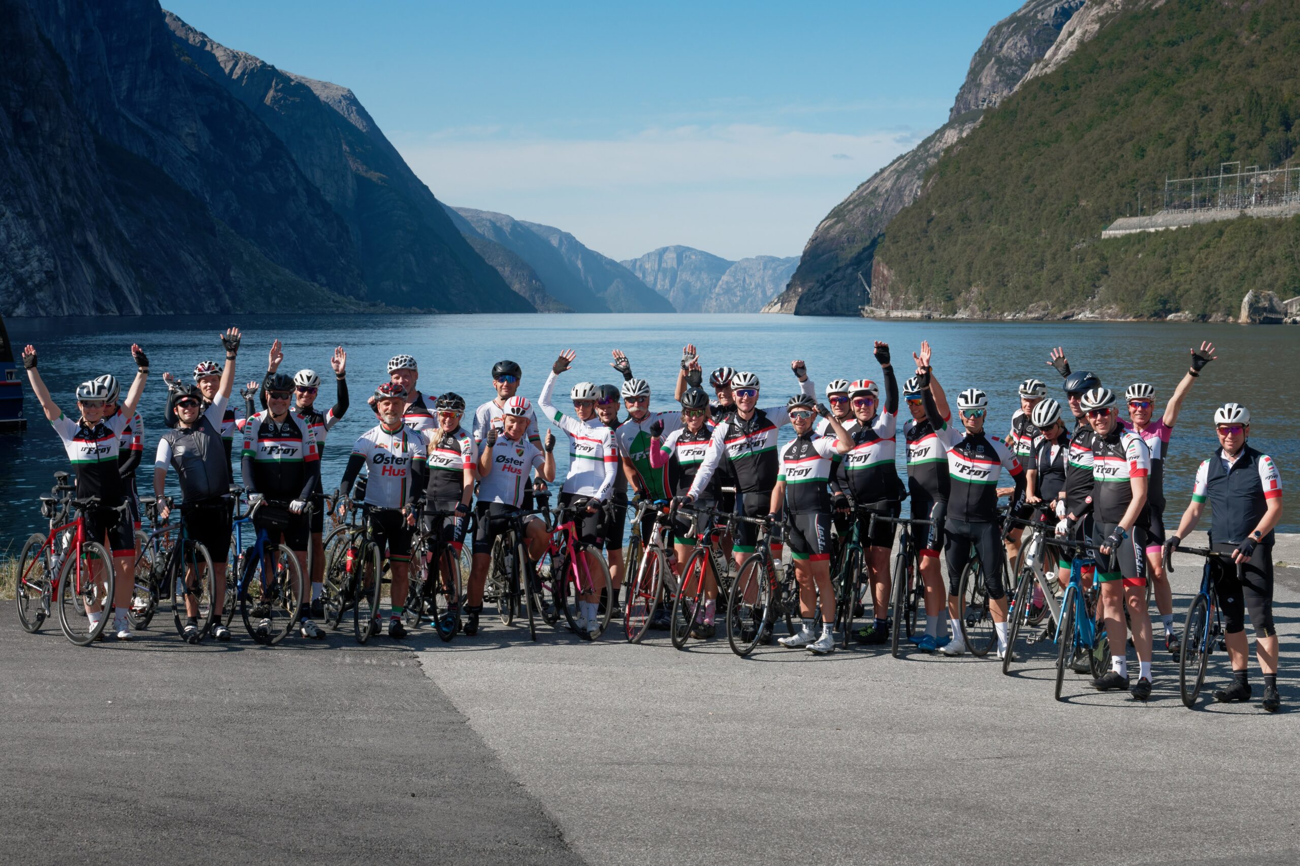
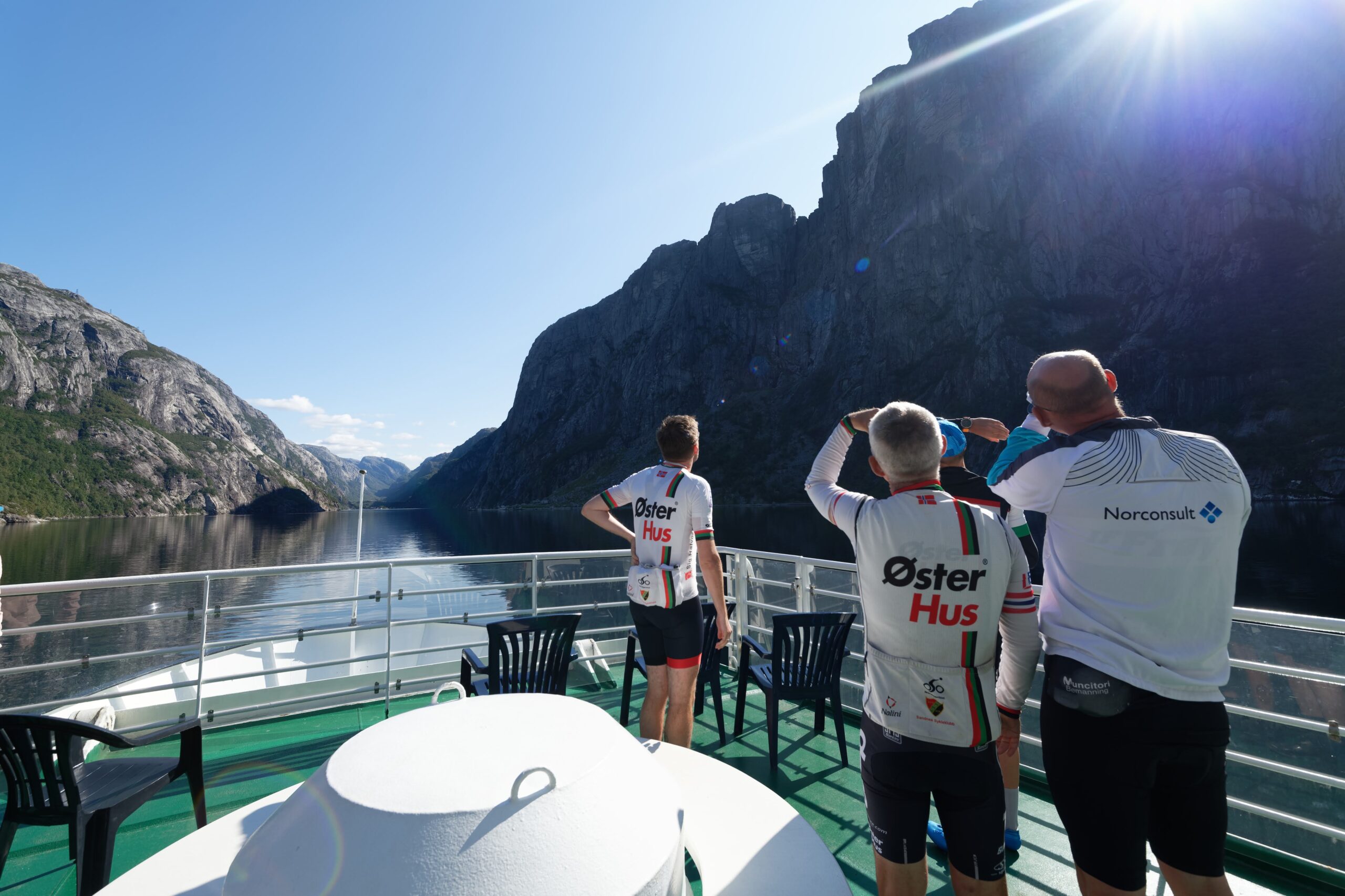
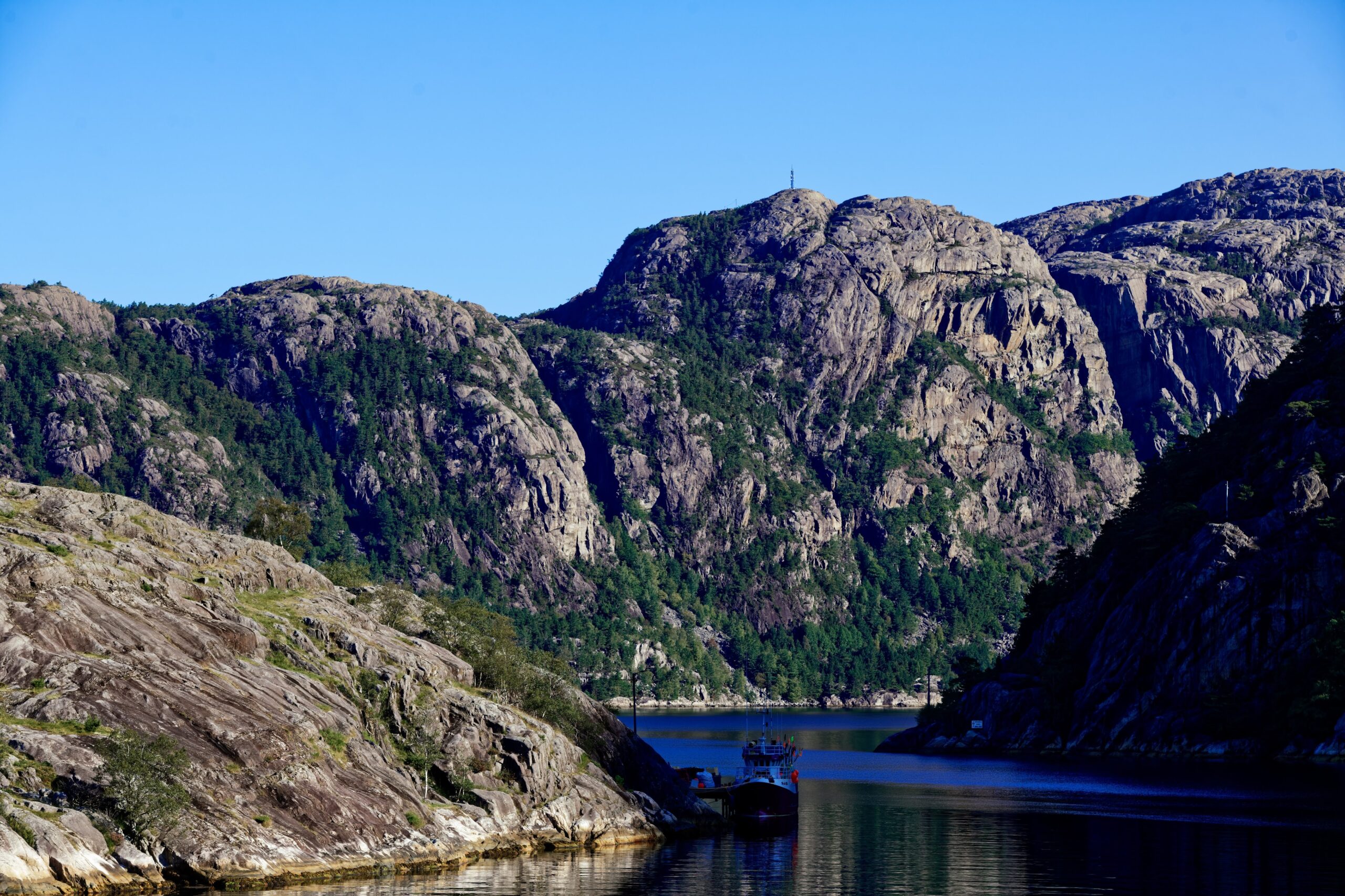
In our opinion, this is the number one cycling route in Rogaland. This trip should be on every cycling enthusiast’s bucket list. In addition to two cycling stages, the tour includes a fjord cruise in the 41 km long Lysefjord.

Ruten defineres som ekstrem

Routes defined as extreme are suitable for people who are familiar with demanding parties and have extensive experience.

Tid
12:00 timer

Lengde
153 km

Popularitet
4.6 av 10

Vurderes ut fra antall besøk på denne siden de siste to ukene sammenlignet med alle Hubriding-rutene.

Key elements of this trip are the trail from Sandnes to Lauvik.
Then a ferry cruise into Lysefjorden and finally the main challenge itself with approx.
15 km of climbing up from Lysebotn with a final stage back to Sandnes of 115 km.
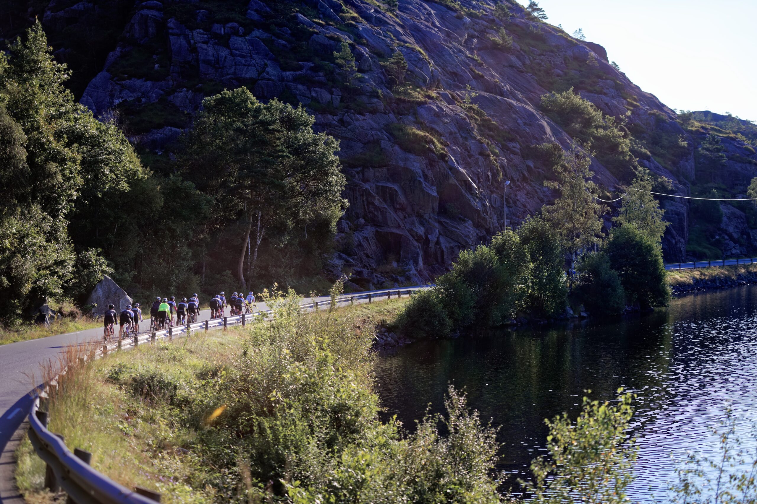
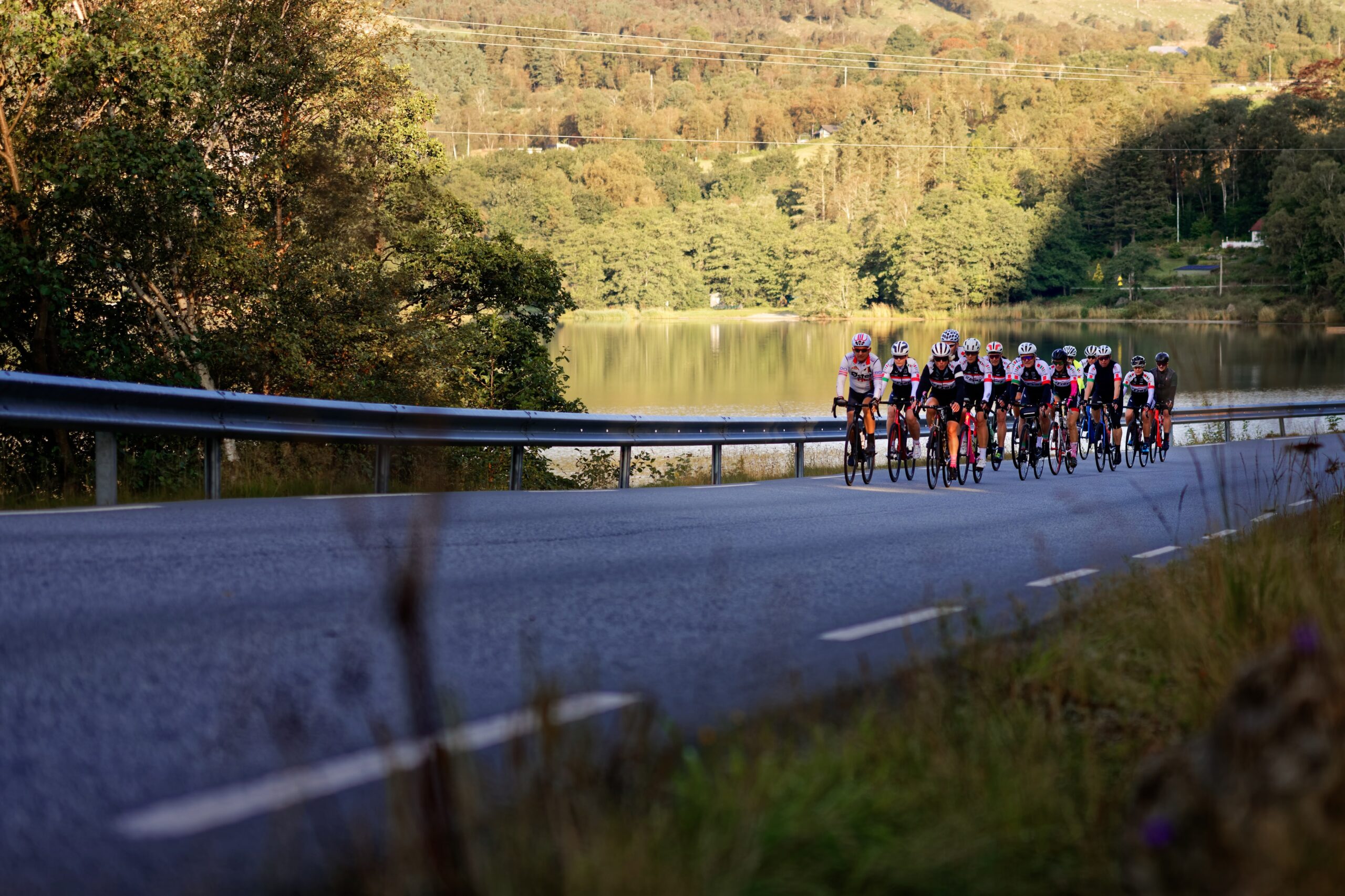
You’d think you’d have to ride a long way into the trail before the nature experiences materialize.
But no, on this trip you don’t ride for many minutes before you’re in the middle of a natural gem.
After approx.
7 km you reach Lutsivatnet where the road takes you towards Ims and Høle.
On this stretch of just under 20 km, you cycle in easy terrain without any major challenges, but with plenty of idyllic scenery to look at.
After approx.
1 hour cycling, you arrive at the Lauvik ferry quay where the fjord cruise into Lysefjorden starts.
After approx.
2.5 hours of fjord cruise you arrive at Lysebotn where the climbing adventure starts.
You now have approx.
130 km to cycle back to Sandnes where the first 10 km involves the biggest challenge.
After approx.
2 km you arrive at the 1100 meter long tunnel (remember to bring lights front and back).
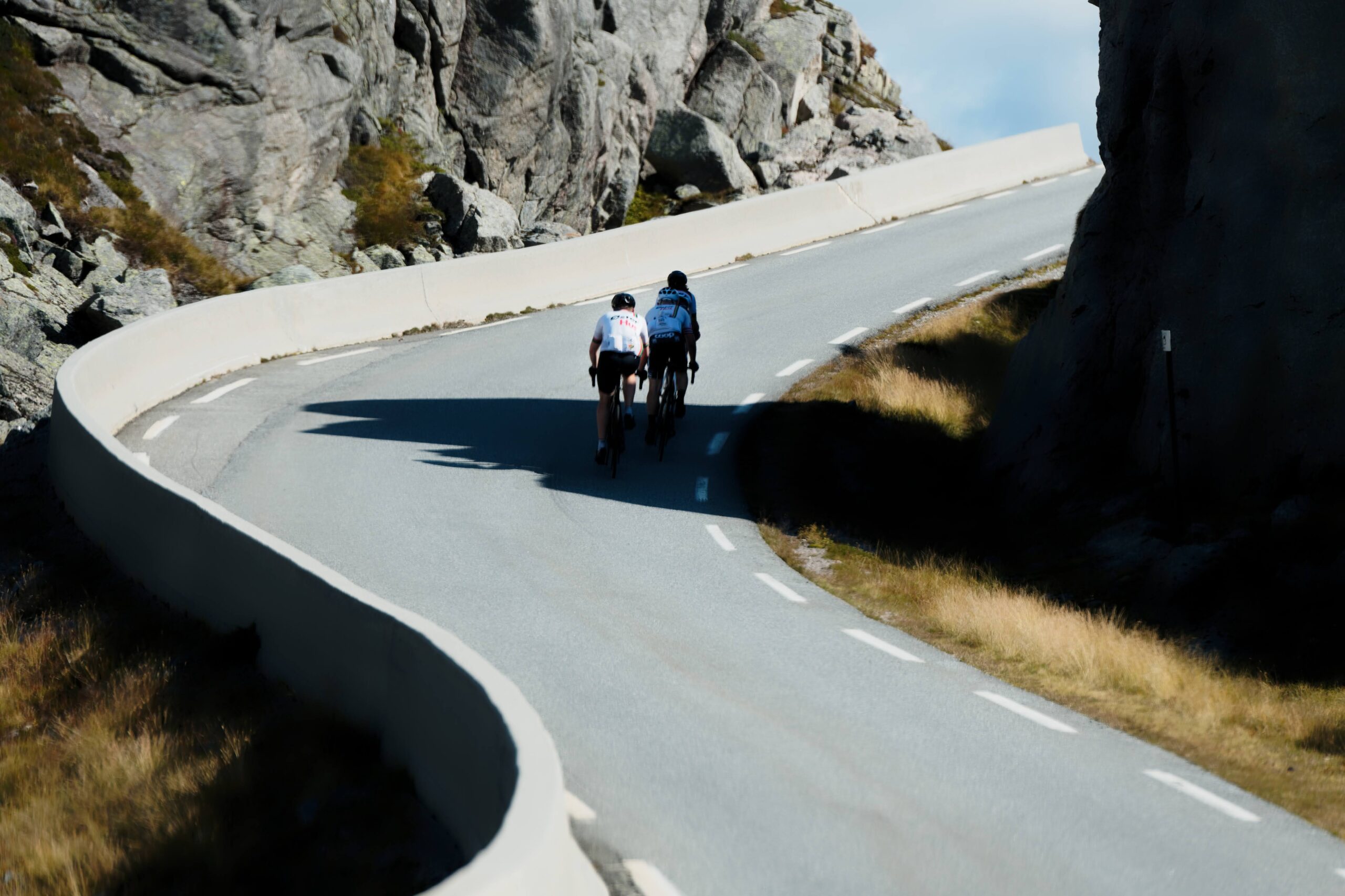
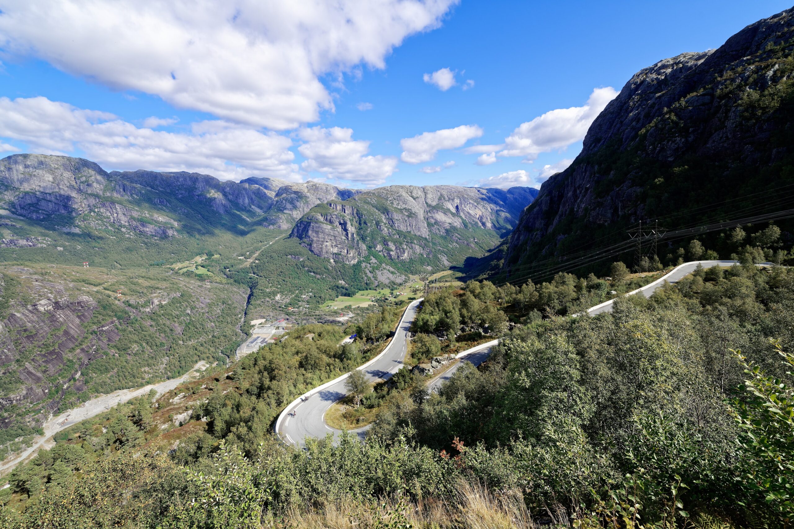
The stretch up to Ørneredet (or Øygardsstøl as the official name is) consists of 27 bends spread over approx.
7 km.
The gradient is approx.
10 %.
Ørneredet is located at approx.
650 meters above sea level.
which means that there is still some distance to cover and a few more meters of altitude to be covered before reaching the summit at 932 meters above sea level.
By the time you reach the summit, you have cycled a distance of 15 km.
This means that you “only” have 115 km before you return to your starting point in Sandnes.
From the highest point on Lysevegen it is approx.
15 km of slightly hilly cycling to Sirdal.
In Sirdal, it’s not uncommon to make a quick stop to refill water bottles at the village’s gas station, which goes by the name of GP.
Then the tour starts down Hunnedalen and to Byrkjedalstunet.
Despite the sloping terrain, you must expect a headwind if the wind direction is not easterly.
It will definitely be an advantage to ride in a group to help each other in the headwind.
Coffee and a chocolate cake or similar at Byrkjedalstunet is one of the many highlights of the tour.
After a well-deserved rest, you cycle down to Dirdal where we recommend cycling the “inner road” down to Frafjorden.
From the fjord you have to go up to Røyrdalen (remember to take the old road outside the tunnel) and then cycle down to Oltedal.
From Oltedal, you cycle up to Spinneriet, which is the last chance to replenish your energy before heading up the approx.
3 km long climb up Seldal.
After Seldal, it’s “straight road” along Søredalen back to Sandnes.
Reservations for the fjord cruise can be made via the following website – https://www.norwaysbest.com/no/ting-a-gjore/fjorder/fjord-cruise-lysefjord/ The season for the fjord cruise (transportation to Lysebotn) is from medium May to medium September.

Support

Hvordan kan jeg navigere ruten?

Dette kommer først og fremst an på om du har montert en GPS, navigerer etter App på mobiltelefonen eller foretrekker papirutskrift. Her beskriver vi de vanligste arbeidsflytene:

  • Last ned GPX filen for ruten du ønsker til din datamaskin
  • Importer filen til ditt ruteplanleggingsverktøy (F.eks. Garmin’s Basecamp eller Tom Tom’s MyDrive)
  • Eksporter ruten til din GPS på vanlig mate
  • Sjekk at ruten kalkulerer riktig i din GPS (Det anbefales at GPS er satt til å velge raskeste rute og evt. unngåelser skrudd av for at ruten skal kalkuleres som beskrevet.)
  • God tur!
  • Last ned GPX filen for ruten du ønsker til din mobiltelefon
  • Send/åpne filen i App’n som tilhører din GPS modell (F.eks. Garmin’s Drive eller Tom Tom’s MyDrive)
  • Send ruten til din GPS (følg instruksjoner som kommer med din GPS og App)
  • Sjekk at ruten kalkulerer riktig i din GPS (Det anbefales at GPS er satt til å velge raskeste rute og evt. unngåelser skrudd av for at ruten skal kalkuleres som beskrevet.)
  • God tur!

Mange av rutene på Hubriding bruker appen Ride with GPS for ruteplanlegging og navigering av rutene. Denne kan du laste ned i gratisversjon eller betale for utvidet bruk. Trykk på lenken Send to Device på kartet på denne siden, når appen har startet og du ser aktuell rute trykker du Navigate og så er det bare å følge ruta.

  • Klikk på linken i kartet på siden så åpnes kartet i nytt vindu
  • Skriv ut kartet, med eller uten beskrivelse
  • God tur!