Route 8

Valley to valley

This route also takes you to Fyresdal, but the first stage is on the east side of Vråvatn. This is a less busy road, at a slower pace through forest and cultural landscape. There is a small section of gravel road, but with a firm surface, and not demanding. But drive wisely, at your own pace.

The route is defined as easy

Routes defined as easy are suitable for everyone regardless of experience.

Length
177 km

Popularity
7.5 av 10

Assessed by the number of clicks on this page in the last two weeks compared to all Hubriding routes.

Route 8: Valley to valley

 Route-8-Dal-til-Dal.gpx  206 KB
Download

It is recommended that the GPS is set to select the fastest route and any avoidance turned off for the route to be calculated as described.

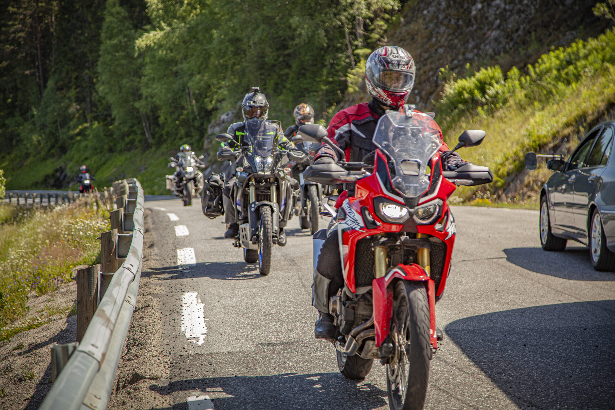
After this stretch of local road, you'll head down to Fyresdal and through. Here you'll enjoy a fantastic ride along Fyresdal lake, where the road rises and falls dramatically, ending up many meters above the water's surface, with unique views of magnificent mountain ranges.

Then descend in gentle sweeping curves down to the main road to Treungen. Follow this road for a short distance up to Treungen and turn off to Drangedal.The road takes you up into high mountain terrain and you pass Gautefall, which many people associate with snow and skiing. However, the Gautefall area is an eldorado for experiences in the summer too. The local hiking team has signposted, marked and facilitated both hiking and trail biking routes in the area. Particularly beautiful istheKingdom of Heaven“, which rightly bears the name!

From Bostrak you drive on some of the wonderful roads that characterize Telemark, and in Grova you turn off towards Fjågesund. This really is a gem of a road, with lots of beautiful and varied bends. This goes on and on until you get to the “charmer stage”, up the famous Kviteseidkleivene. Here you get to put your cornering skills to the test, and is a great end to the trip, before “after-bike” on the hotel’s terrace.

Support

How can I navigate the route?

This primarily depends on whether you have a GPS installed, navigate by App on your mobile phone or prefer paper printing.
Here we describe the most common workflows:

  • Download the GPX file for the route of your choice to your computer
  • Import the file to your route planning tool (e.g. Garmin’s Basecamp or Tom Tom’s MyDrive)
  • Export the route to your GPS in the usual way
  • Check that the route is calculated correctly in your GPS (It is recommended that the GPS is set to select the fastest route and any avoidance is turned off for the route to be calculated as described).
  • Have a good trip!
  • Download the GPX file for the route of your choice to your mobile phone
  • Send/open the file in the app that belongs to your GPS model (e.g. Garmin’s Drive or Tom Tom’s MyDrive)
  • Send the route to your GPS (follow instructions that come with your GPS and App)
  • Check that the route is calculated correctly in your GPS (It is recommended that the GPS is set to select the fastest route and any avoidance is turned off for the route to be calculated as described).
  • Have a good trip!

Many of the routes on Hubriding use the app Ride with GPS app for route planning and navigation of the routes.
You can download a free version or pay for extended use.
Click on the Send to Device link on the map on this page, when the app has started and you see the current route, press Navigate and then just follow the route.

  • Click on the link in the map on the page and the map will open in a new window
  • Print the map, with or without description
  • Have a good trip!