HubridingGranavolden

Around Hadeland

Route 4

Around Hadeland

A longer variation of Route 2: Granavollen Rundt Sør. The altitude, surface and distance also make it more demanding.

The route is defined as hard

Routes defined as demanding are suitable for people with experience in demanding parties.

Time
3:30 hours

Length
49 km

Popularity
7.5 av 10

Assessed by the number of clicks on this page in the last two weeks compared to all Hubriding routes.

Route 4: Around Hadeland

 Hadeland-Hotell-Slovika.gpx  84 KB
Download

It is recommended that the GPS is set to select the fastest route and any avoidance turned off for the route to be calculated as described.

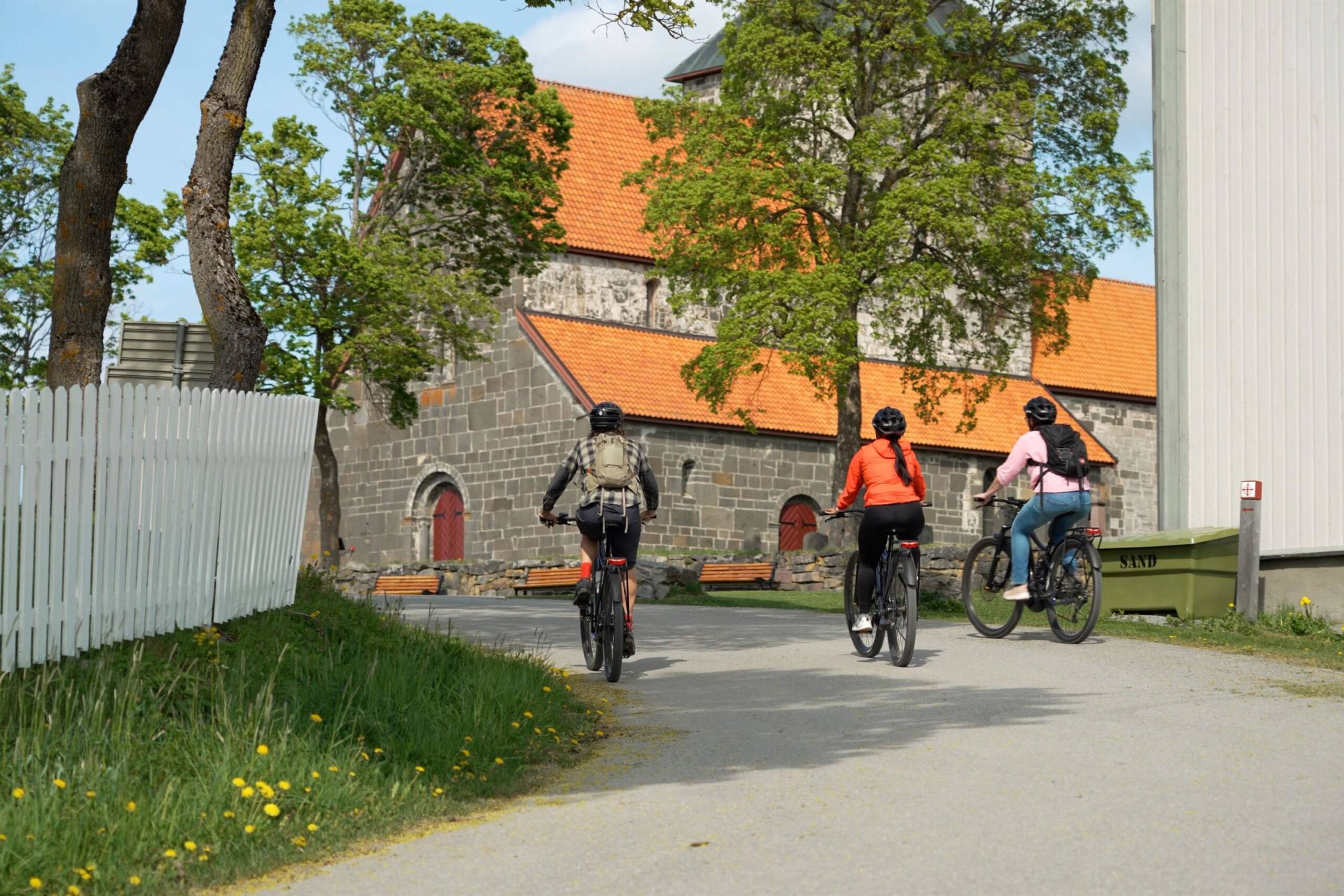
This tour is suitable for those who want a demanding challenge on a bike. The total distance is 49 kilometers, and you should expect about 900 meters of altitude, which means several steep sections along the way. The surface is a mix of both asphalt and gravel, which makes for a varied experience. All in all, this is a route that requires relatively good fitness, but the reward is beautiful scenery and an exciting bike ride with both uphill sections and nice flow on the flats.

The tour can be cycled both ways, but we recommend clockwise. You have the option to extend to Hadeland Glassverk/Jevnaker, or shorten the tour at Rojan Krysset/Grymyr. The route leads past several sights in Hadeland such as Lunner Church, Søsterkirkene, Glasslåven, and Hadeland Folkemuseum. Allow extra time if you want to stop along the way and visit the sites. Coffee/lunch is only available at Granavollen. Hadeland Folk Museum also has a small café. Sløvika camping has a kiosk where you can buy drinks and ice cream. Logical starting points for this tour are from Sløvika camping or Granavollen.

Support

How can I navigate the route?

This primarily depends on whether you have a GPS installed, navigate by App on your mobile phone or prefer paper printing.
Here we describe the most common workflows:

  • Download the GPX file for the route of your choice to your computer
  • Import the file to your route planning tool (e.g. Garmin’s Basecamp or Tom Tom’s MyDrive)
  • Export the route to your GPS in the usual way
  • Check that the route is calculated correctly in your GPS (It is recommended that the GPS is set to select the fastest route and any avoidance is turned off for the route to be calculated as described).
  • Have a good trip!
  • Download the GPX file for the route of your choice to your mobile phone
  • Send/open the file in the app that belongs to your GPS model (e.g. Garmin’s Drive or Tom Tom’s MyDrive)
  • Send the route to your GPS (follow instructions that come with your GPS and App)
  • Check that the route is calculated correctly in your GPS (It is recommended that the GPS is set to select the fastest route and any avoidance is turned off for the route to be calculated as described).
  • Have a good trip!

Many of the routes on Hubriding use the app Ride with GPS app for route planning and navigation of the routes.
You can download a free version or pay for extended use.
Click on the Send to Device link on the map on this page, when the app has started and you see the current route, press Navigate and then just follow the route.

  • Click on the link in the map on the page and the map will open in a new window
  • Print the map, with or without description
  • Have a good trip!