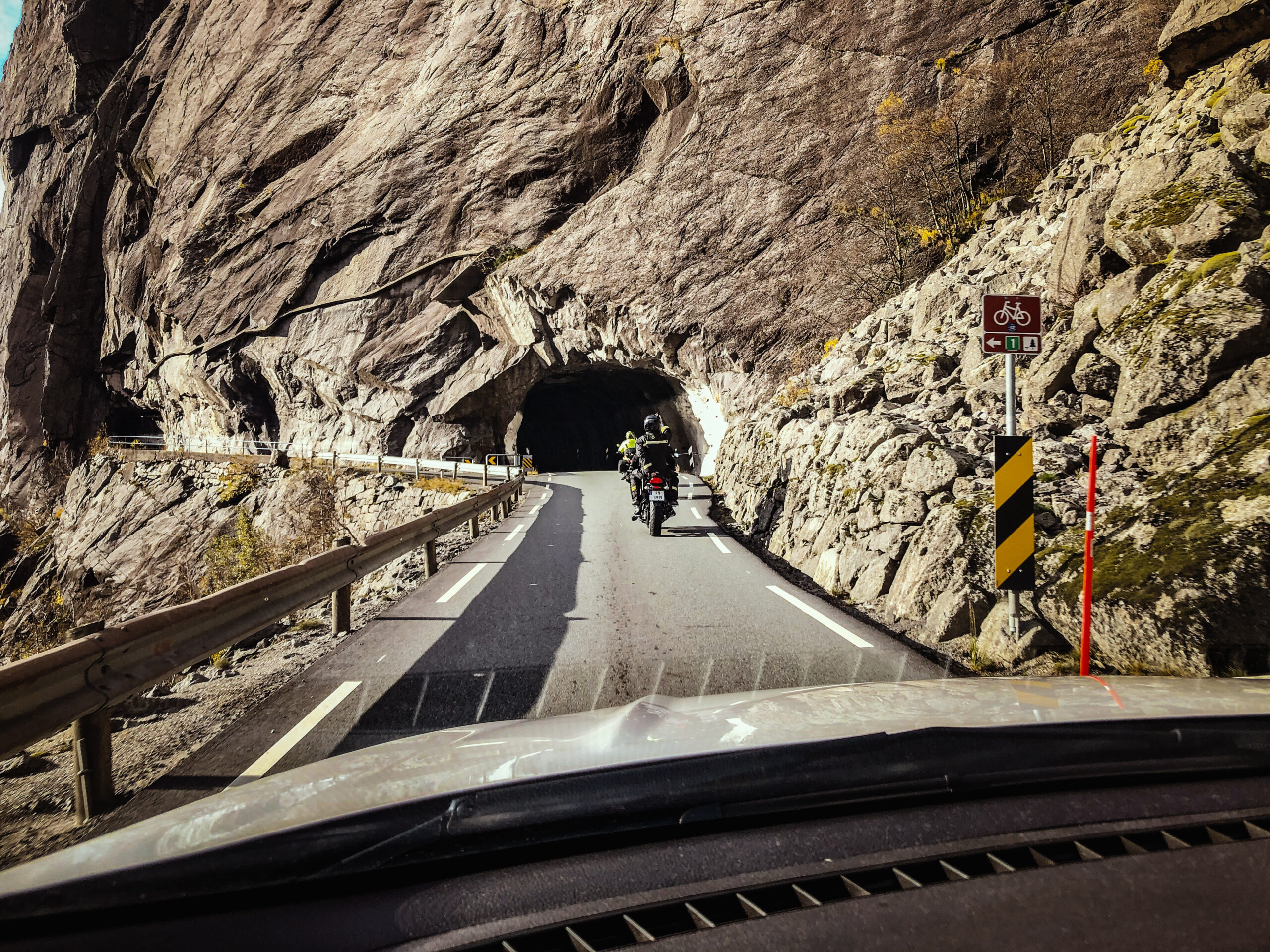
The route is defined as normal
Routes defined as normal are suitable for most people who have experience with somewhat demanding sections.Length
181 km
Popularity
3.6 av 10
Here you can drive right along the sea, almost like being in a boat.
Here you can make a short stop at the Nesvåg Sea and Motor Museum.
You then continue past Rekefjord and then a short stop for lunch, coffee and a guided tour of the old charging station Sogndalstrand Kulturhotell is in order.
The tour then continues south towards Jøssingfjord, where you can test your driving skills on winding roads down and up Jøssingfjord.
Jøssingfjord is known for Helleren, two old houses dating from the early 1800s and possibly older.
It is believed to have been settled here since the 1500s.
Jøssingfjord was also central during 2.
World War II in connection with the Altmark affair.
British naval vessels boarded the German support ship Altmark to free British sailors.
This incident is said to have been used as a pretext to attack Norway, because it was believed that the Norwegian government no longer defended the country’s neutrality.
From Jøssingfjord, the road continues through Åna Sira and on to Flekkefjord.
In Åna Sira you’ll find the famous Brufjell holes with potholes.
These are demanding to walk to and are more suitable for a separate excursion.
In Flekkefjord, you can stop for a short walk in Hollenderbyen, or just enjoy a good drink in the city center along the river.
After Flekkefjord, the tour continues to Sira.
Here you can take a short detour over Tronåsen, which was part of the Monte Carlo Rally in the 1930s.
Continue towards Tonstad along Sirdalsvannet.
From Tonstad you turn down towards Egersund.
Here you drive in valleys along the mighty Gyaaksla.
After Gyadalen, you approach Terland Klopp just before Helleland.
It was built in the 1800s and is a stone bascule bridge.
With its 21 courses and length of 60 meters, it is considered the largest of its kind in Northern Europe.
This is the place for an amazing photo of driver and bike in the middle of this iconic bridge.
Support
This primarily depends on whether you have a GPS installed, navigate by App on your mobile phone or prefer paper printing. Here we describe the most common workflows:
Many of the routes on Hubriding use the app Ride with GPS app for route planning and navigation of the routes. You can download a free version or pay for extended use. Click on the Send to Device link on the map on this page, when the app has started and you see the current route, press Navigate and then just follow the route.