HubridingGranavolden

Harestua-Granavollen West

Route 6

Harestua-Granavollen West

In combination with Route 5: Harestua-Granavollen East, this is a great two-day trip.

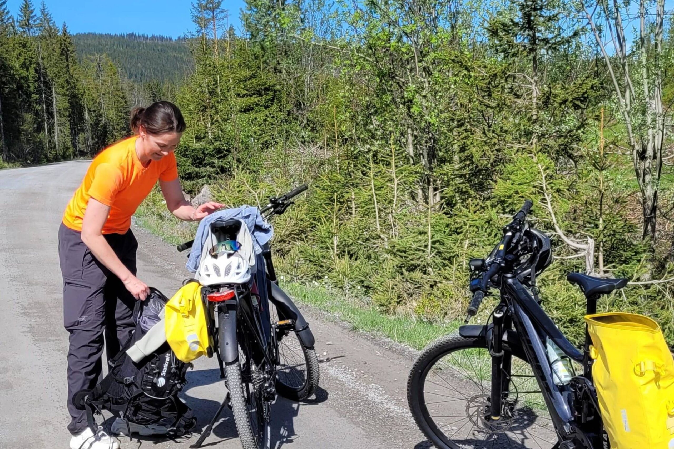
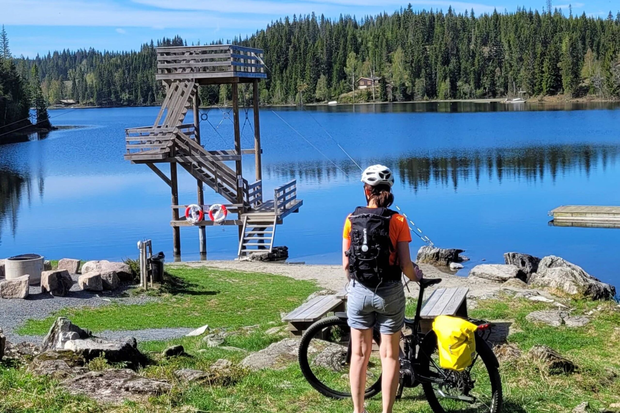
The route is defined as normal

Routes defined as normal are suitable for most people who have experience with somewhat demanding sections.

Time
3:00 hours

Length
32 km

Popularity
7.5 av 10

Assessed by the number of clicks on this page in the last two weeks compared to all Hubriding routes.

Route 6: Harestua-Granavollen West

 Harestua-Helgaker-.gpx  61 KB
Download

It is recommended that the GPS is set to select the fastest route and any avoidance turned off for the route to be calculated as described.

This 32-kilometer route has a medium level of difficulty and offers around 570 vertical meters. The surface is made up of both asphalt and gravel, which makes for a varied cycling experience. The tour is suitable for those with basic fitness who want a moderate challenge.

A moderately demanding tour that can be cycled both ways and combined and adapted depending on the destination you are cycling to or from. Some climbing at the start from Harestua, but primarily hard-packed gravel roads without much traffic. With an electric bike, the trip is medium-demanding. If you’re on a regular bike, it will probably be perceived as demanding at first due to the difference in altitude. You first cycle through some forest past Mylla and Svea, where there is a lovely bathing area, before coming to a beautiful area with summer farms and smallholdings. From here it’s all downhill until you cross the E16 and continue along quiet country roads to the old Lunner church. Here it’s worth taking a short break to enjoy the peace and quiet and the birds chirping before continuing north towards Granavollen. Granavollen offers many sights, so make sure you plan your trip so that you have time to visit Søsterkirkene, Telthuset, Glasslåven and Granavolden Gjæstgiveri.

Support

How can I navigate the route?

This primarily depends on whether you have a GPS installed, navigate by App on your mobile phone or prefer paper printing.
Here we describe the most common workflows:

  • Download the GPX file for the route of your choice to your computer
  • Import the file to your route planning tool (e.g. Garmin’s Basecamp or Tom Tom’s MyDrive)
  • Export the route to your GPS in the usual way
  • Check that the route is calculated correctly in your GPS (It is recommended that the GPS is set to select the fastest route and any avoidance is turned off for the route to be calculated as described).
  • Have a good trip!
  • Download the GPX file for the route of your choice to your mobile phone
  • Send/open the file in the app that belongs to your GPS model (e.g. Garmin’s Drive or Tom Tom’s MyDrive)
  • Send the route to your GPS (follow instructions that come with your GPS and App)
  • Check that the route is calculated correctly in your GPS (It is recommended that the GPS is set to select the fastest route and any avoidance is turned off for the route to be calculated as described).
  • Have a good trip!

Many of the routes on Hubriding use the app Ride with GPS app for route planning and navigation of the routes.
You can download a free version or pay for extended use.
Click on the Send to Device link on the map on this page, when the app has started and you see the current route, press Navigate and then just follow the route.

  • Click on the link in the map on the page and the map will open in a new window
  • Print the map, with or without description
  • Have a good trip!