Route 6

Hardhausen

Hardhausen will require “staying power” and this is not a route you embark on without some experience and a few miles behind you. This route presents the vast majority of what Rogaland has to offer, but the trip up along Jæren, the trip east into Sirdalen before turning your nose south via Tonstad to Sogndalsstrand. Here you’ll find some of Norway’s most fun roads with a number and type of bends that will knock most people out. There are bends, flat long bends on the way up Jæren, speed into Sirdal and down past Tonsad before a grand finale between Ramsland on Eieaveien and down to Sokndal. It’s tight, but a lot of fun. Be sure to take breaks along the way so that you are “fit for fight” on the last part, here you need to be rested and alert to enjoy the glory.

The route is defined as normal

Routes defined as normal are suitable for most people who have experience with somewhat demanding sections.

Time
5:00 hours

Length
293 km

Popularity
7.5 av 10

Assessed by the number of clicks on this page in the last two weeks compared to all Hubriding routes.

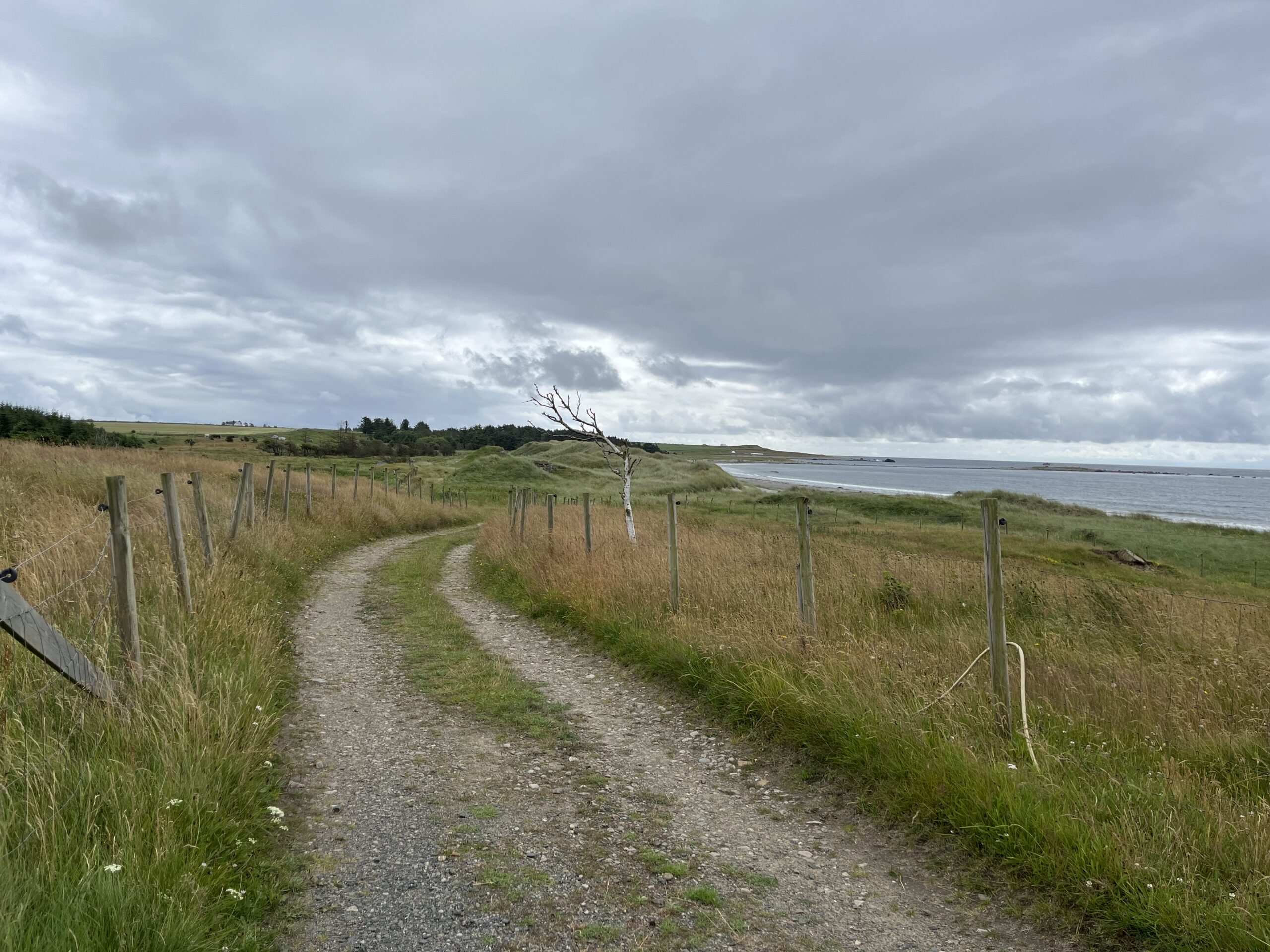
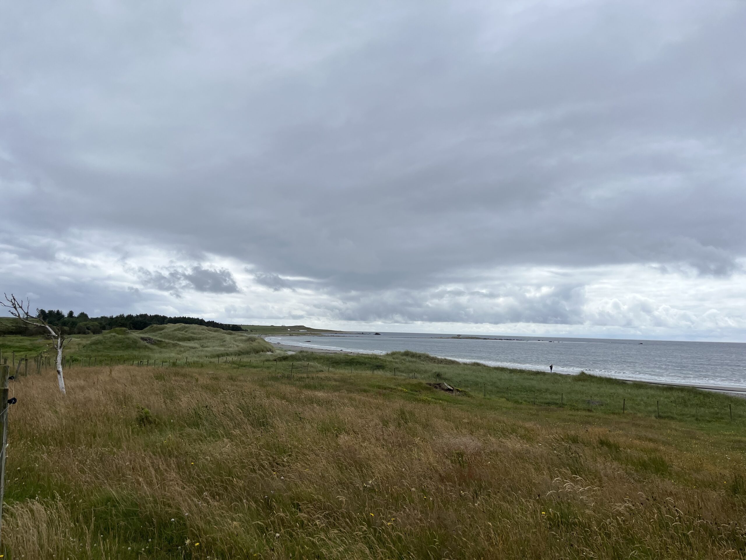
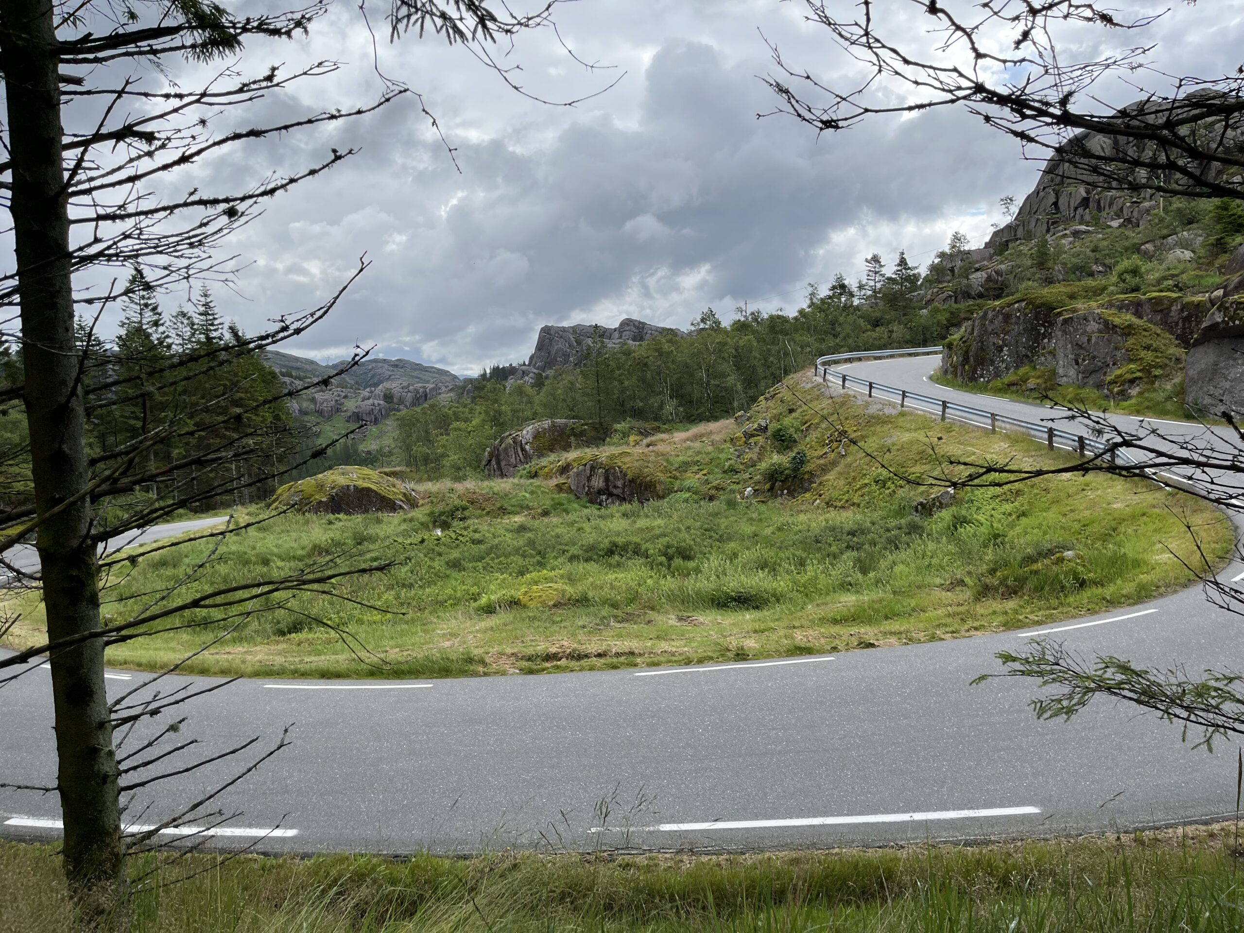
We travel 2551 meters uphill and 3545 meters downhill, given departure and arrival in Sokndal. You can start the journey in Egersund, or use it as a connection from Stavanger and return to the same place. This route includes around 15,000 turns, so there's plenty of fun to be had. What you lose along Jæren, you'll make up for with 10 kilometers between Eie and Sogndal.

This is a spectacular journey on two wheels and there are probably not many alternatives to this round trip, which is almost 30 miles long. We assume that you start in Sogndalsstrand and this case and then you start on the national tourist route already here. Tyren via Rekefjord on the way to Egersund includes many sights and lovely towns where people obviously live the good life. The route includes so many bends in hilly terrain that you can drive yourself into nausea on a full stomach.

After the first stretch of tight bends in hilly terrain, you will move up Jæren and Jæren’s reef, which is feared by all seafarers. The smell of pig dung and manure is charming and clearly reminds us where in the world we are. The trip up along the beaches of Jær is calm but pleasant and can be enjoyed at a leisurely pace.
Once up at Bryne, we recommend a test of the famous “farse burger” which is an important part of the food customs in this area. A butcher in Bryne fries up around 600 kg of farse every day, which disappears like dew before the sun every single day. Definitely a gastronomic attraction.

From here, the route heads east in a quiet direction towards Ålgård and towards Byrkjedal and Byrkjedalstunet on the way to Sinnes, where it turns south towards Tonstad. Just before arriving at Byrkjedalstunet, you can take a detour towards the famous Månafossen waterfall, which is the largest waterfall in Rogaland with a drop of 92 meters. At Sinnes, we turn south towards Tonstad, where we put on some speed in big, wonderful sweepers. The bakery in Tonstad is definitely a gastronomic attraction, but be aware that it closes at 16:30 every day.

When you eventually get down to the E-39, drive 200 meters east before turning onto Eiaveien and this is where the fun starts. Here you can bring out the best version of yourself and take part in a carnival-like experience you’ll never forget as a motorcyclist. Pay attention because it’s hilly, narrow and winding, but it’s crazy fun. This is a driving experience that not only contributes to the cheerfulness of the mind (as it says on Freia’s milk chocolate), it can unfortunately also contribute to you not being able to sleep later that night. That’s just the way it is.

Well blown, on arrival at one of the well-known treehouse bays (Sogndalsstrand, Egersund or Flekkefjord) you can just enjoy good food and drink and a much-needed de-brief.

Support

How can I navigate the route?

This primarily depends on whether you have a GPS installed, navigate by App on your mobile phone or prefer paper printing. Here we describe the most common workflows:

  • Download the GPX file for the route of your choice to your computer
  • Import the file to your route planning tool (e.g. Garmin’s Basecamp or Tom Tom’s MyDrive)
  • Export the route to your GPS in the usual way
  • Check that the route is calculated correctly in your GPS (It is recommended that the GPS is set to select the fastest route and any avoidance is turned off for the route to be calculated as described).
  • Have a good trip!
  • Download the GPX file for the route of your choice to your mobile phone
  • Send/open the file in the app that belongs to your GPS model (e.g. Garmin’s Drive or Tom Tom’s MyDrive)
  • Send the route to your GPS (follow instructions that come with your GPS and App)
  • Check that the route is calculated correctly in your GPS (It is recommended that the GPS is set to select the fastest route and any avoidance is turned off for the route to be calculated as described).
  • Have a good trip!

Many of the routes on Hubriding use the app Ride with GPS app for route planning and navigation of the routes. You can download a free version or pay for extended use. Click on the Send to Device link on the map on this page, when the app has started and you see the current route, press Navigate and then just follow the route.

  • Click on the link in the map on the page and the map will open in a new window
  • Print the map, with or without description
  • Have a good trip!