The route is defined as easy
Routes defined as easy are suitable for everyone regardless of experience.Length
137 km
Popularity
7.5 av 10
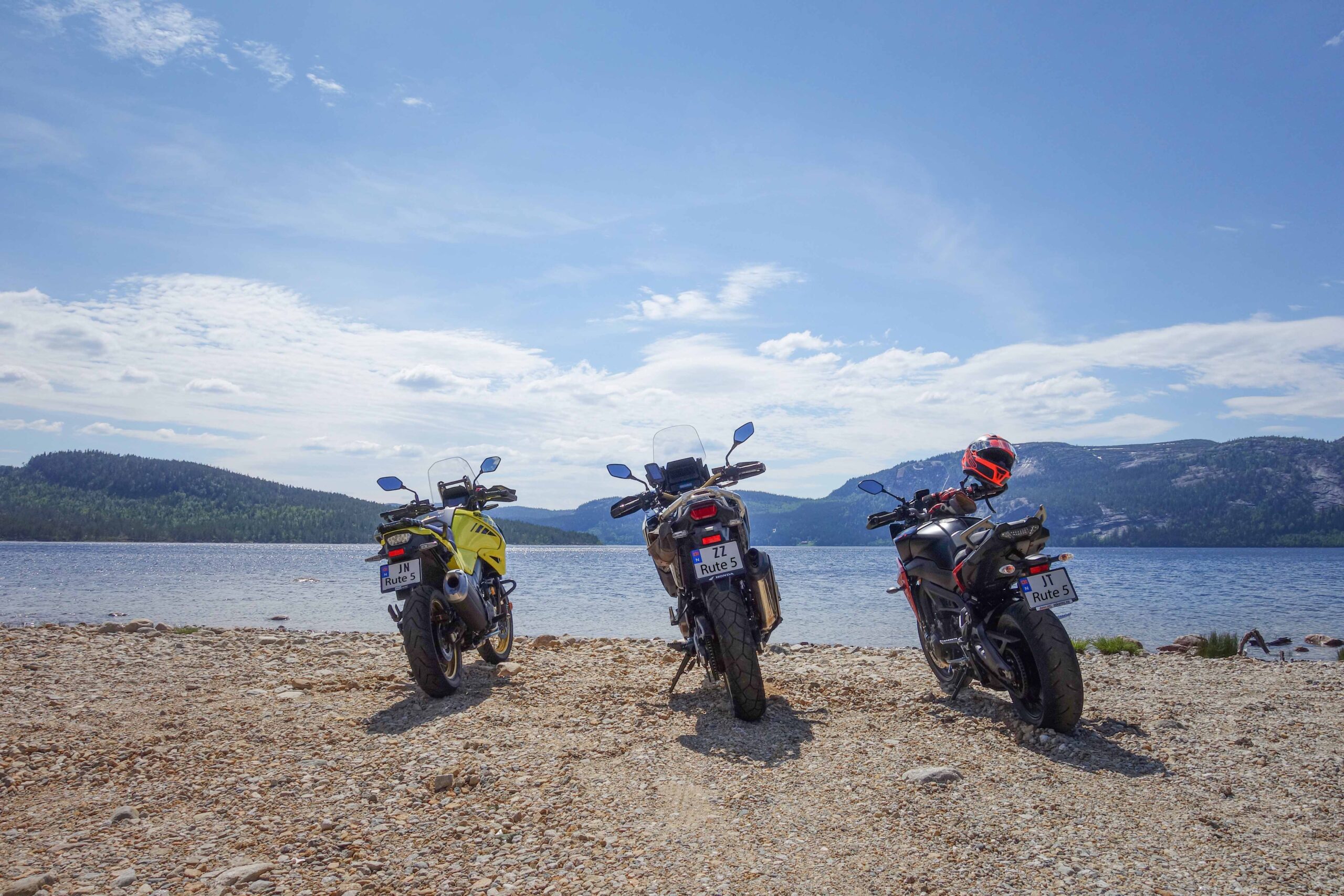
Route 5: The three lakes
It is recommended that the GPS is set to select the fastest route and any Avoidance turned off for the route to be calculated as described.
When you get to the south end of the lake, there are still many bends left before you get onto the main road and head up to Treungen. A bit of transportation, but good to "stretch your legs" a little.
When you arrive in Treungen, we recommend a visit to the fantastic motor museum “Z”. Here you’ll find a unique collection of cars, motorcycles and much more. A real hidden gem.
After visiting “Z”, a break on the other side of the bridge is also worth a stop, where you can sit on the quayside and take in the magnificent Telemark nature. From Treungen you have a great trip ahead of you up to Vrådal. The road runs alongside the water all the way, with long and clear bends.
If you do the trip without any particular stops, this can be a great trip before or after lunch, but we recommend making stops along the way, and preferably making this a full-day trip as there is a lot to see along the way.
If you make a stop in the center of Fyresdal, we recommend a stroll through the popular and spectacular Hamaren Activity Park and further into the medieval town of Øyskogen and the charming Folkestabyen.
Support
This primarily depends on whether you have a GPS installed, navigate by App on your mobile phone or prefer paper printing. Here we describe the most common workflows:
Many of the routes on Hubriding use the app Ride with GPS app for route planning and navigation of the routes. You can download a free version or pay for extended use. Click on the Send to Device link on the map on this page, when the app has started and you see the current route, press Navigate and then just follow the route.