Route 3

Sea & land

This is a route that has absolutely everything, here peace and quiet is replaced by terrain, two short and good (almost paved) gravel roads that all bikes can ride, climbing stages with crazy turns that take you straight into dense forest or around rocky outcrops in wonderful curves before the terrain abruptly changes again to speed stages on sweepers and then again into new series of tight turns and crazy fun. Here you’ll find some pretty intense climbing stages with cool turns, drops and almost everything. The road surface is consistently good and you shouldn’t be put off by the fact that there are two relatively short gravel stages of 15 – 20 km. The road quality is high so everyone can drive these sections.

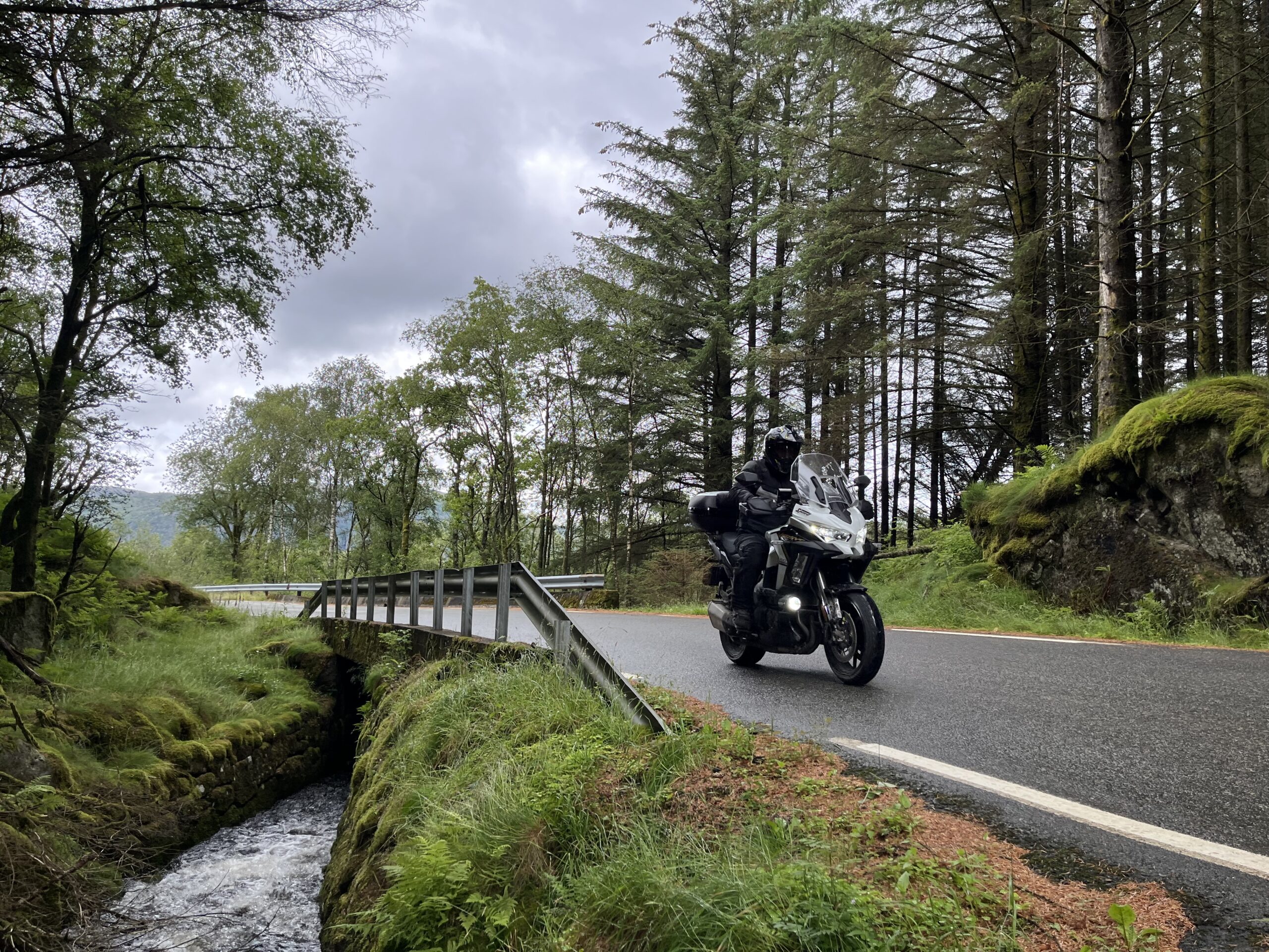
The route is defined as normal

Routes defined as normal are suitable for most people who have experience with somewhat demanding sections.

Time
5:00 hours

Length
176 km

Popularity
7.5 av 10

Assessed by the number of clicks on this page in the last two weeks compared to all Hubriding routes.

Route 3 offers a lot of terrain and you'll cover a total of 2,887 vertical meters over 176 km. The variations are great and provide nice elements of rest and work alternately.

You start from Sogndalsstrand, drive via Jøssingfjorden to Flekkefjord where you drive towards Lista on the E39 for about 16 km before we turn off, here you quickly enter the first gravel section that runs for about 8 km with climbing on wonderful bends between water, forest and windmills. From there, the road goes all the way out into the sea with spectacular impressions of the sea standing right out here in the west. Note the building stock and the color traditions of houses and farm buildings out here, the residential part is painted in white while the farm building is painted in red, even though they are connected. Funny custom. After driving through agricultural and cultural landscapes all the way out to sea, you arrive at Lista and Lista Lighthouse, which is definitely worth a stop. In addition to being a very important landmark for seafarers, this is a fascinating place. The buildings are spectacular and the cloud formations change from hour to hour depending on the weather. Out here you’ll also find a permanent picture exhibition of insects and other paintings that are great to see. In the village of Lista, there are opportunities to have lunch at one of several local establishments.

On your way from lista, drive along the Jæren beaches just west of the airport, then turn west on RV 465 towards Kvinesdal or Åpta. Here you can put on a little speed in big sweepers and really feel the rush. After the Ravnhei tunnel, you enter a new festive series of bends and lush forest down to a great vantage point overlooking the sea. From here you can walk into Farsund for some food or drink. Feel free to spend some time in Farsund – it’s worth it.

The stage from Farsund back to Flekkefjord contains even more variety and buckets of crazy driving fun. Here, the road alternates between fast-paced sweepers and tight bends in wooded areas where you can reach high speeds. Many of the corners go 180 degrees into new, similar combinations, so you’ll have to bring out the best in yourself to drive technically well if you go fast. This section is so much fun that the HUBriding team is unsure if they have ever driven stages that are better than this one.

The sum of everything you’ll find on route 3 is nothing short of spectacular, many drivers find their way here, and some of the sections that take you into new bends disappear almost straight into the air and into lush forest. Everywhere the vegetation is green, lush and beautiful and you should note that this is experienced even more beautifully in bad weather, so by all means don’t let a little rain stop you, with a little rain and clouds the impressions are even more intense. Take the time to experience, discover and sense the nature that has so much to offer along this route. These are powerful experiences to take in on two wheels.

NOTES: In route 4 you will find a similar option without a gravel section, take a look at this. you can also take off on exciting detours and go exploring on your own, there are many of these on the way around.


Support

How can I navigate the route?

This primarily depends on whether you have a GPS installed, navigate by App on your mobile phone or prefer paper printing. Here we describe the most common workflows:

  • Download the GPX file for the route of your choice to your computer
  • Import the file to your route planning tool (e.g. Garmin’s Basecamp or Tom Tom’s MyDrive)
  • Export the route to your GPS in the usual way
  • Check that the route is calculated correctly in your GPS (It is recommended that the GPS is set to select the fastest route and any avoidance is turned off for the route to be calculated as described).
  • Have a good trip!
  • Download the GPX file for the route of your choice to your mobile phone
  • Send/open the file in the app that belongs to your GPS model (e.g. Garmin’s Drive or Tom Tom’s MyDrive)
  • Send the route to your GPS (follow instructions that come with your GPS and App)
  • Check that the route is calculated correctly in your GPS (It is recommended that the GPS is set to select the fastest route and any avoidance is turned off for the route to be calculated as described).
  • Have a good trip!

Many of the routes on Hubriding use the app Ride with GPS app for route planning and navigation of the routes. You can download a free version or pay for extended use. Click on the Send to Device link on the map on this page, when the app has started and you see the current route, press Navigate and then just follow the route.

  • Click on the link in the map on the page and the map will open in a new window
  • Print the map, with or without description
  • Have a good trip!