The route is defined as normal
Routes defined as normal are suitable for most people who have experience with somewhat demanding sections.Time
3:50 hours
Length
176 km

Popularity
4.6 av 10
This is the guarantor of the swing guarantee in the HUB riding concept.


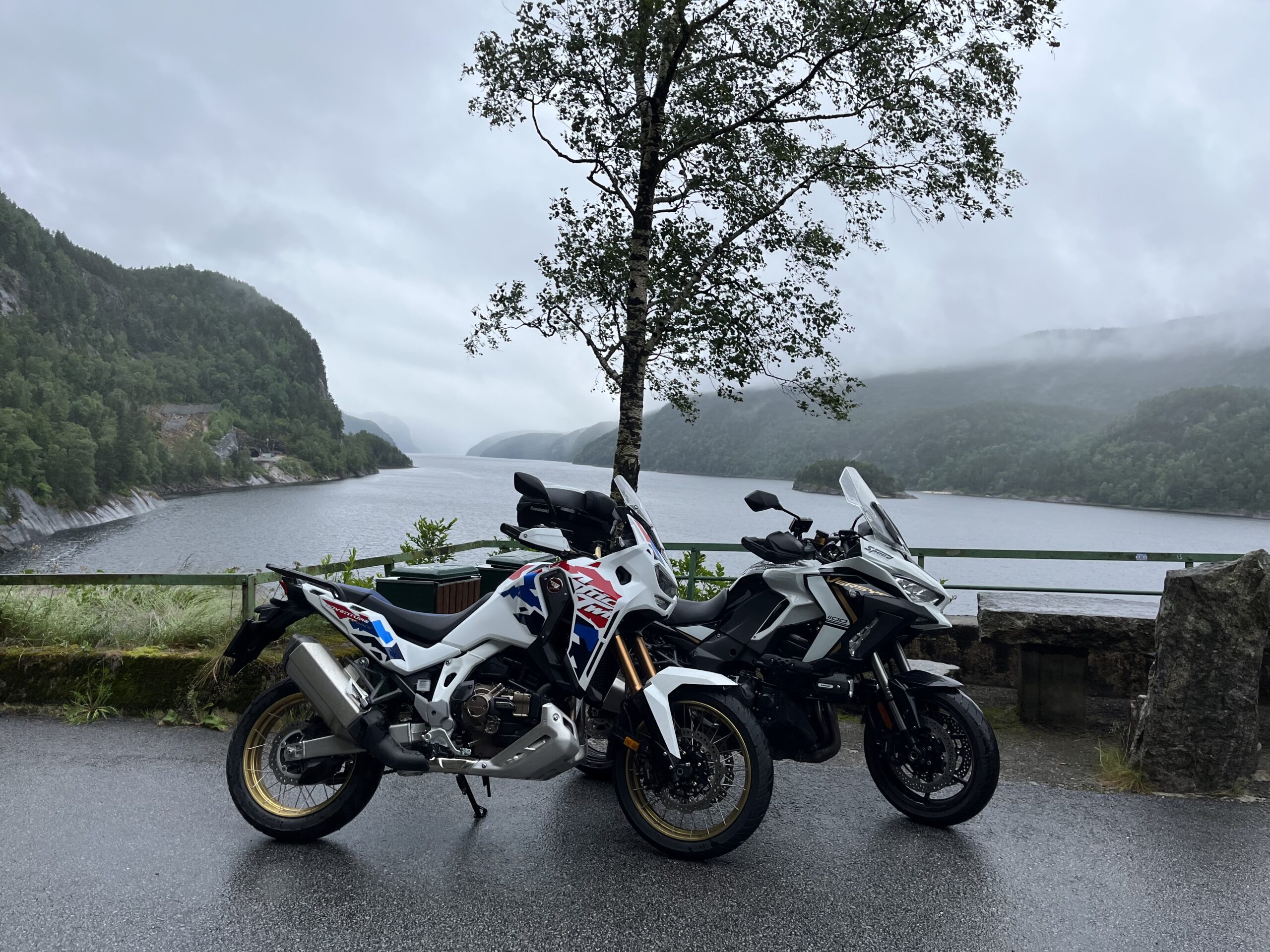
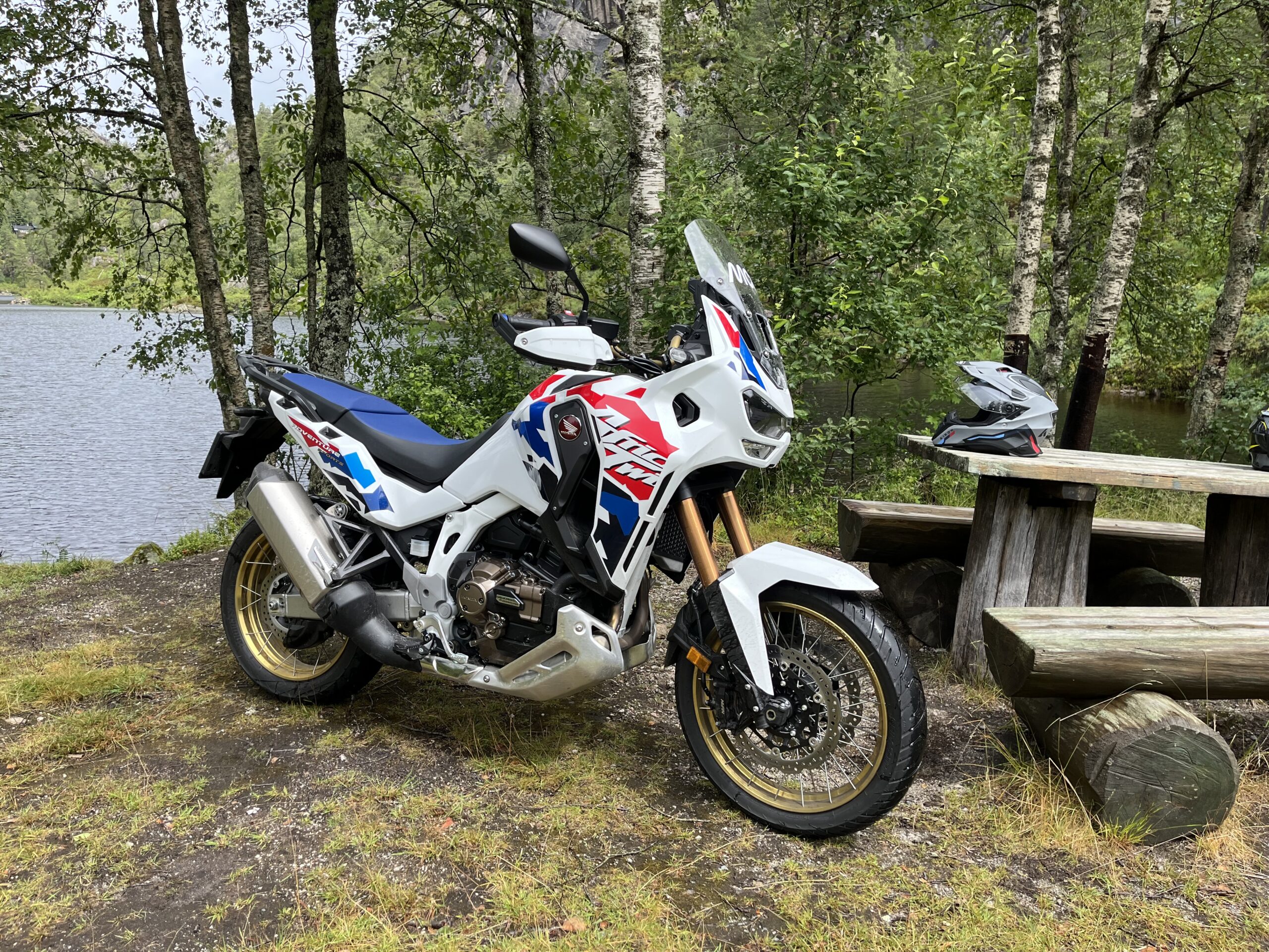
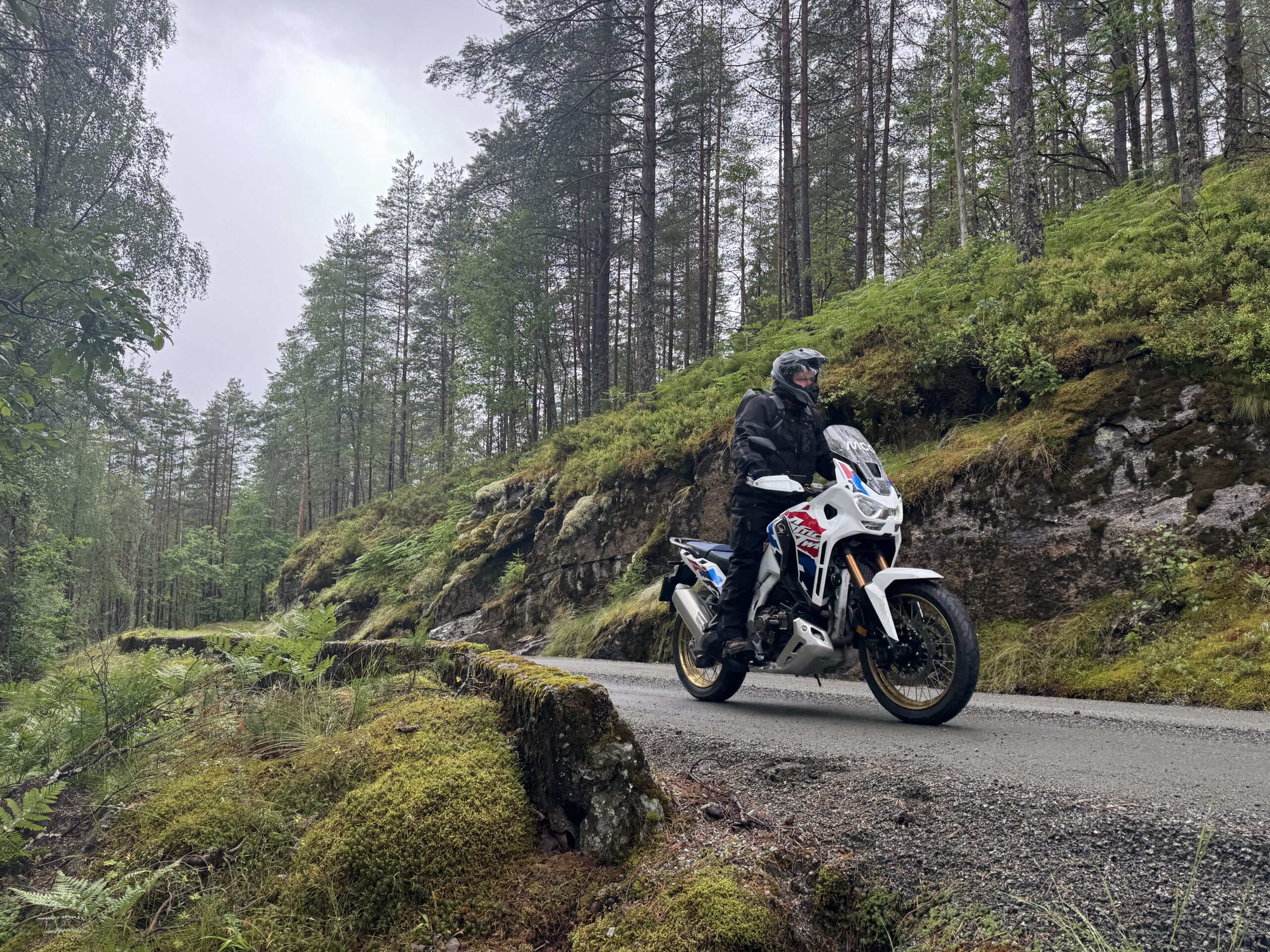
Route 2 is a fantastic route that is right at the top of the swing guarantee class. This route includes 180 km on asphalt and 14 km on hard-packed gravel roads that all cyclists can drive on. A total of 4,590 vertical meters divided into more than 10,000 turns. In other words, Due will have a busy day and is guaranteed to develop his driving skills. The surface is mostly good, with some uneven asphalt in the narrowest sections, but not so bad that you can do this with an R-bike without inflicting whiplash or a kink in your back.
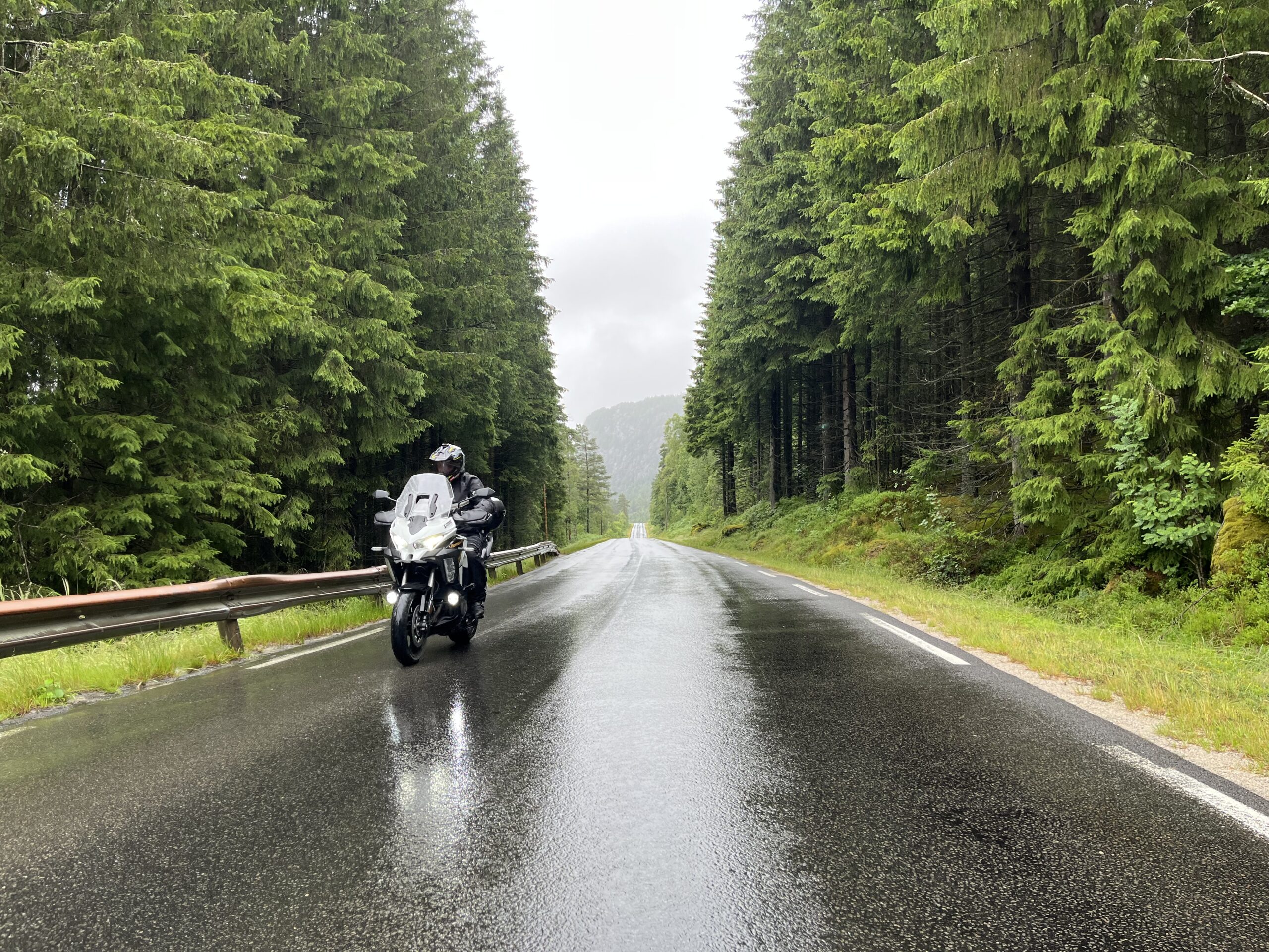
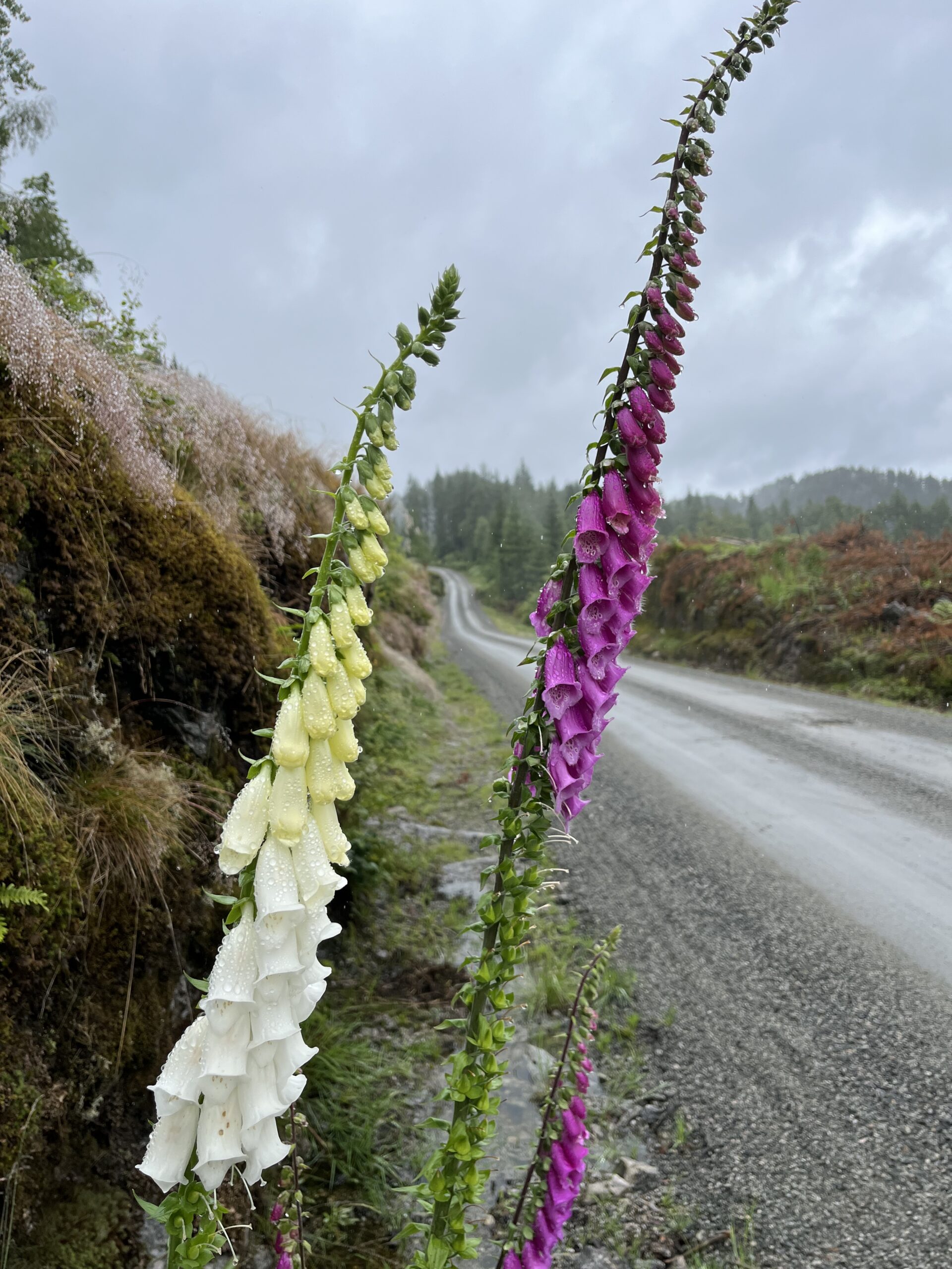
The route can, of course, be started in any of the three towns of Sogndalstrand, Flekkefjord or Egersund, but the HUBriding team started in Sogndalsstrand when we quality assured the route and for practical reasons ended in Flekkefjord. We therefore drove 211 km in heavy rain on this day and we apologize that our pictures are affected by it. That said, rain is no reason not to go on a trip, in the rain you get completely different experiences in the form of other lighting conditions, clouds and fog that are just fascinating so we do not recommend anyone to postpone this trip because of rain, it would be a mistake.
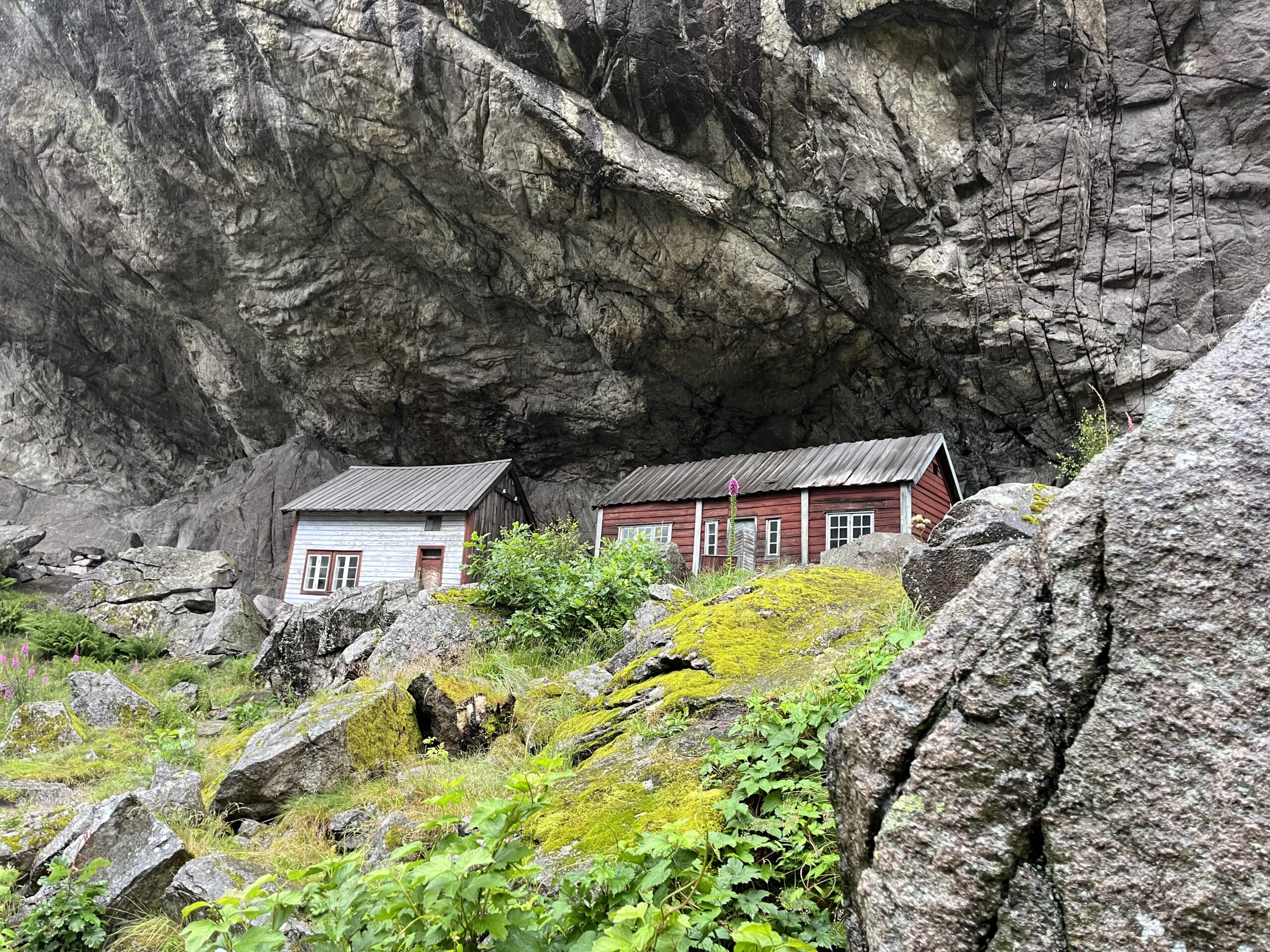
In the first part of your trip to Flekkefjord, you’ll be introduced to some of Norway’s tightest bends, the history of World War II, the drilling of the Altmark and the fascinating history of the Geo-park in Helleren. Here you’ll also find the two world-famous houses built under the rock hammer at the bottom of the Jøssingfjord.
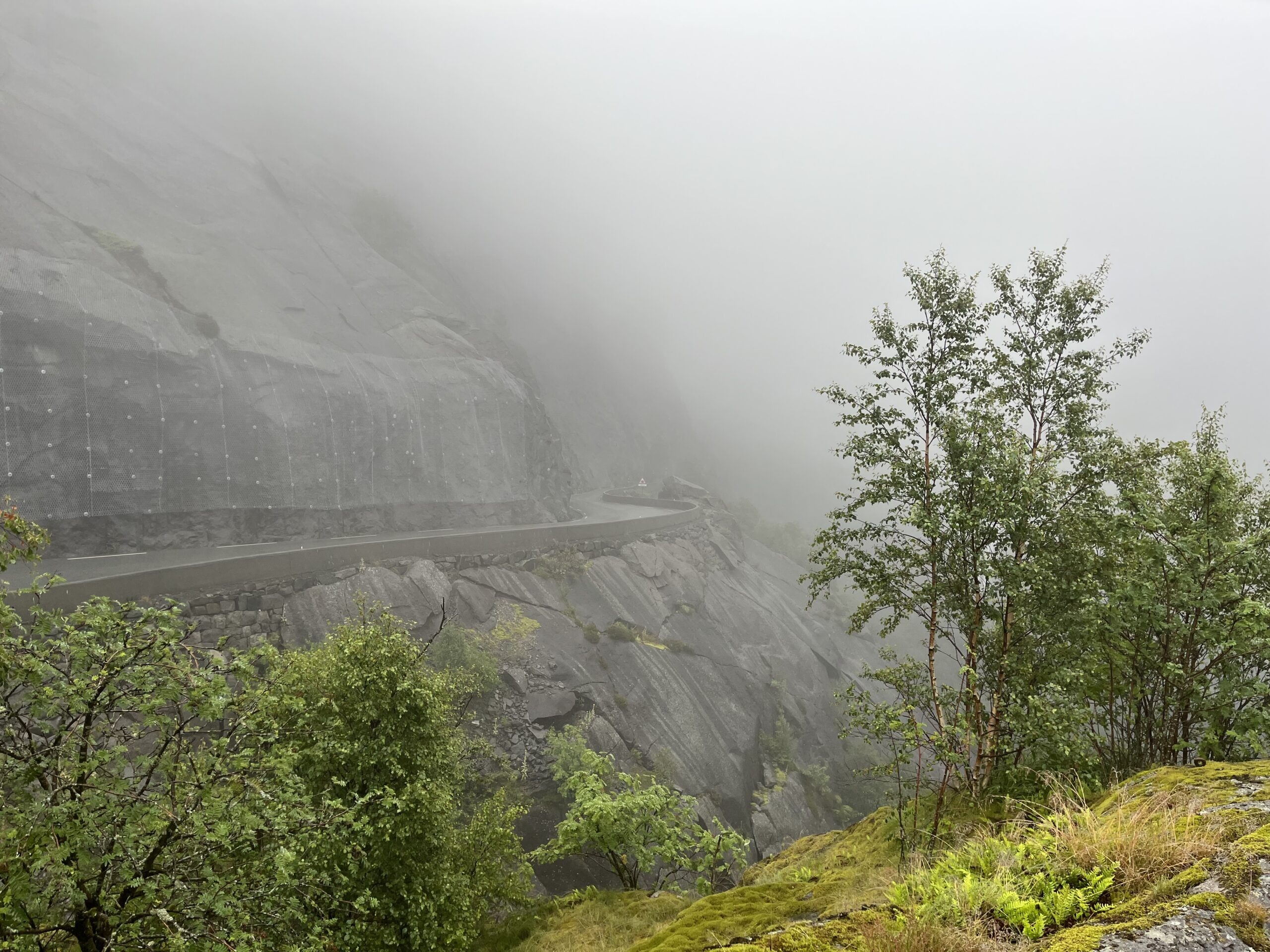
After Flekkefjord, we take off towards Drageid on Drangeidveien towards Tonstad (RV 466), here we release some speed on the way to the world’s best bakery on Thursday. Stop by all means here and visit the bakery. The trip up along the Sirdalsvannet lake is full of sweepers that provide plenty of flow and feelgood. After Tonstad, something happens, as we turn left onto Viraksveien (signposted Sira) on a slightly narrow and festive winding road with lots of climbing. A little way into this road there is a good quality gravel section that absolutely everyone can drive. Enjoy the journey through this beautiful forest area because here you will find a small piece of Norway at its most beautiful.
Just after Sira, you’ll come to the Bakke Bridge attraction on the right-hand side of the road. This is a brilliant spot for a good photoshoot. Back on the asphalt, we pick up speed on the road to Moi before entering new narrow and tight bends in the amusement park category. From here you can choose which of the three tree house towns you want to land in.
Support
This primarily depends on whether you have a GPS installed, navigate by App on your mobile phone or prefer paper printing. Here we describe the most common workflows:
Many of the routes on Hubriding use the app Ride with GPS app for route planning and navigation of the routes. You can download a free version or pay for extended use. Click on the Send to Device link on the map on this page, when the app has started and you see the current route, press Navigate and then just follow the route.
