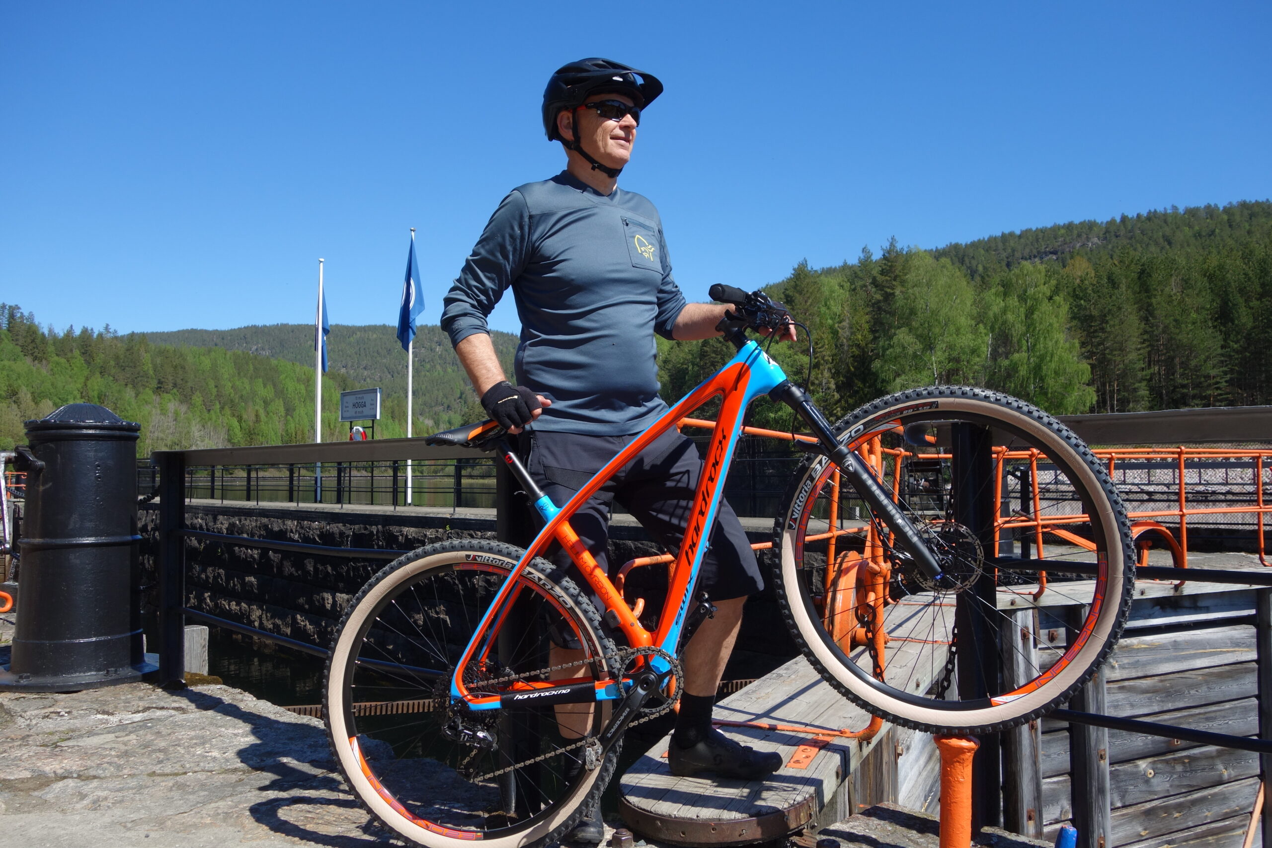
The route is defined as normal
Routes defined as normal are suitable for most people who have experience with somewhat demanding sections.Time
4:00 hours
Length
63 km
Popularity
3.5 av 10
Route 2: Telemark Canal, long bike ride
It is recommended that the GPS is set to select the fastest route and any Avoidance turned off for the route to be calculated as described.
The tour starts from the hotel and the destination is Lunde locks.
From there, the canal boat returns and you must catch the MS Henrik Ibsen or MS Victoria for the return at 13:05.
You cycle up the main road from the hotel in Vrådal and down the Kviteseid kleivene, turning off on Fjågesundveien at Kviteseid bygdetun at the bottom of the kleivene.
The tour continues in beautiful forest terrain along Kviteseidvatn to Fjågesund, where you cross the bridge and follow the east side of Flåvatn.
There are many beautiful viewpoints here and as you approach Hogga locks, turn off the main road and follow a magnificent gravel road close to the canal past Hogga locks.
If you think you're running out of time, you can wait for the boat that arrives here an hour later than from Lunde.
This is a beautiful bike ride along national cycle route no. 2.
It’s beautiful, but also demanding, because even though you follow the waters, there’s more of a climb than you might expect.
When you board the canal boat, you’ll get to see the almost 130-year-old lock facilities in full operation.
The boat takes you “homewards” and you arrive at Spjotsodd pier at 16:00 (Mon, Wed, Fri, Sun) or Kviteseid pier (Tue, Thu, Sat) at 16:20.
From here, you have a short trip back up Kviteseidkleivene (just over 300 meters) before you can roll down to Vrådal again.
From Kviteseid, it’s a few kilometers and altitude meters further than from Spjotsodd.
One tip is to bring your car to Kviteseid bygdetun for transportation home.
That way you can avoid the Kviteseid canyons, which some people may find demanding at the end of a long day.
You can also book transportation from the canal boat back to the hotel, please contact the hotel.
Support
This primarily depends on whether you have a GPS installed, navigate by App on your mobile phone or prefer paper printing. Here we describe the most common workflows:
Many of the routes on Hubriding use the app Ride with GPS app for route planning and navigation of the routes. You can download a free version or pay for extended use. Click on the Send to Device link on the map on this page, when the app has started and you see the current route, press Navigate and then just follow the route.