The route is defined as demanding
Routes defined as demanding are suitable for people with experience in demanding parties.Time
12:00 hours
Length
648 km
Popularity
4.2 av 10
Route 10: Little Norway
It is recommended that the GPS is set to select the fastest route and any Avoidance turned off for the route to be calculated as described.
This route needs to be well planned, you need to check the weather forecast, you need to get up early and preferably be on the road by 08:00. With two 30-minute breaks, you'll be back in Vrådal at around 21:00 - and you'll have driven many thousands of wonderful bends. We assume that this is one of the most demanding routes in southern Norway in terms of the number of bends and demands on the driver's stamina!
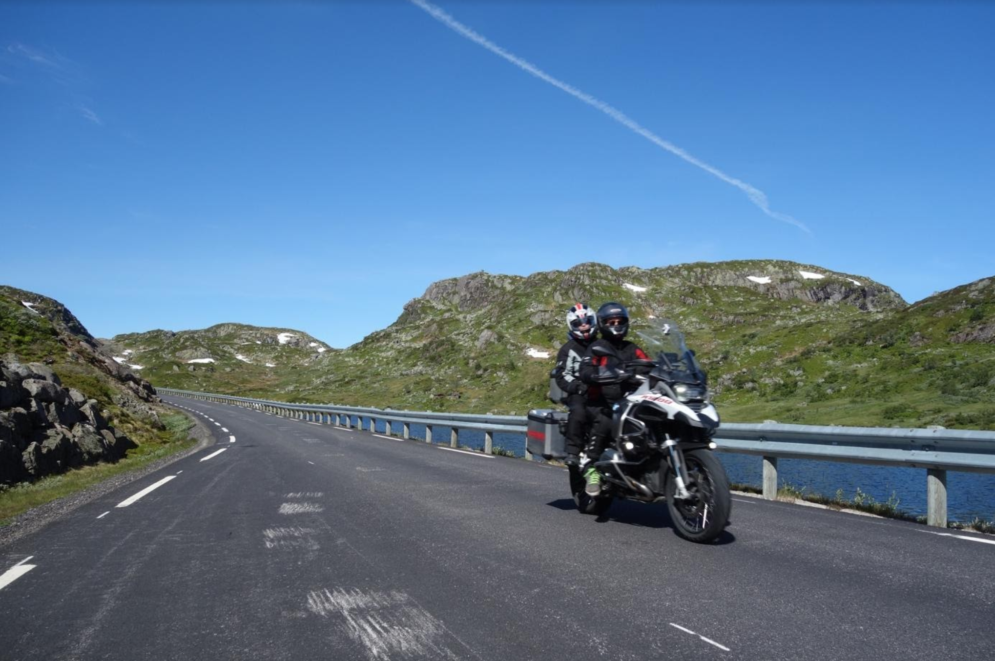
This route can be ridden by all types of motorcycles, but you should be aware that it places great demands on your endurance and ability to enjoy turns over time. The route is approximately 650 kilometres long and represents perhaps one of the longest you can drive in one day in southern Norway with so many turns. The route is packed with experiences and sensory impressions that need to be processed afterwards. We recommend an early start as the route requires 12 full hours of driving, plus breaks! The route runs along Vråvatn over Hallbjønnsekken to Valle, then over delightful Suleskard, which now has a very good surface, down to Fidjeland and from there out to Lysebotn on incredibly fun fairground roads. There are a lot of sheep at Suleskard, but the animals are used to cars and motorcycles and lie quietly. But stay tuned. After a break, we head out to Fidjeland again and then south-west to Tonstad, Evje and Åmli. In this part of the trip, we let off a little more speed in a slightly different type of bends, of which there are thousands, absolutely wonderful. When you get to Åmli, do NOT fall for the temptation to take the shortest route to Vrådal, then you will “not pass”! No, you should turn off at Seljås and drive up Gjøvdal to Fyresdal and then drive around Vråliosen back to Vrådal. We guarantee you a crazy experience and a wonderful driving day. The trip is demanding so you shouldn’t plan another long trip the next day!
Support
This primarily depends on whether you have a GPS installed, navigate by App on your mobile phone or prefer paper printing. Here we describe the most common workflows:
Many of the routes on Hubriding use the app Ride with GPS app for route planning and navigation of the routes. You can download a free version or pay for extended use. Click on the Send to Device link on the map on this page, when the app has started and you see the current route, press Navigate and then just follow the route.