Ruten defineres som enkel
Ruter som defineres som enkel egner seg for alle uavhengig av erfaring.Lengde
360 km

Popularitet
9.8 av 10

Det anbefales at GPS er satt til å velge raskeste rute og evt. unngåelser skrudd av for at ruten skal kalkuleres som beskrevet.
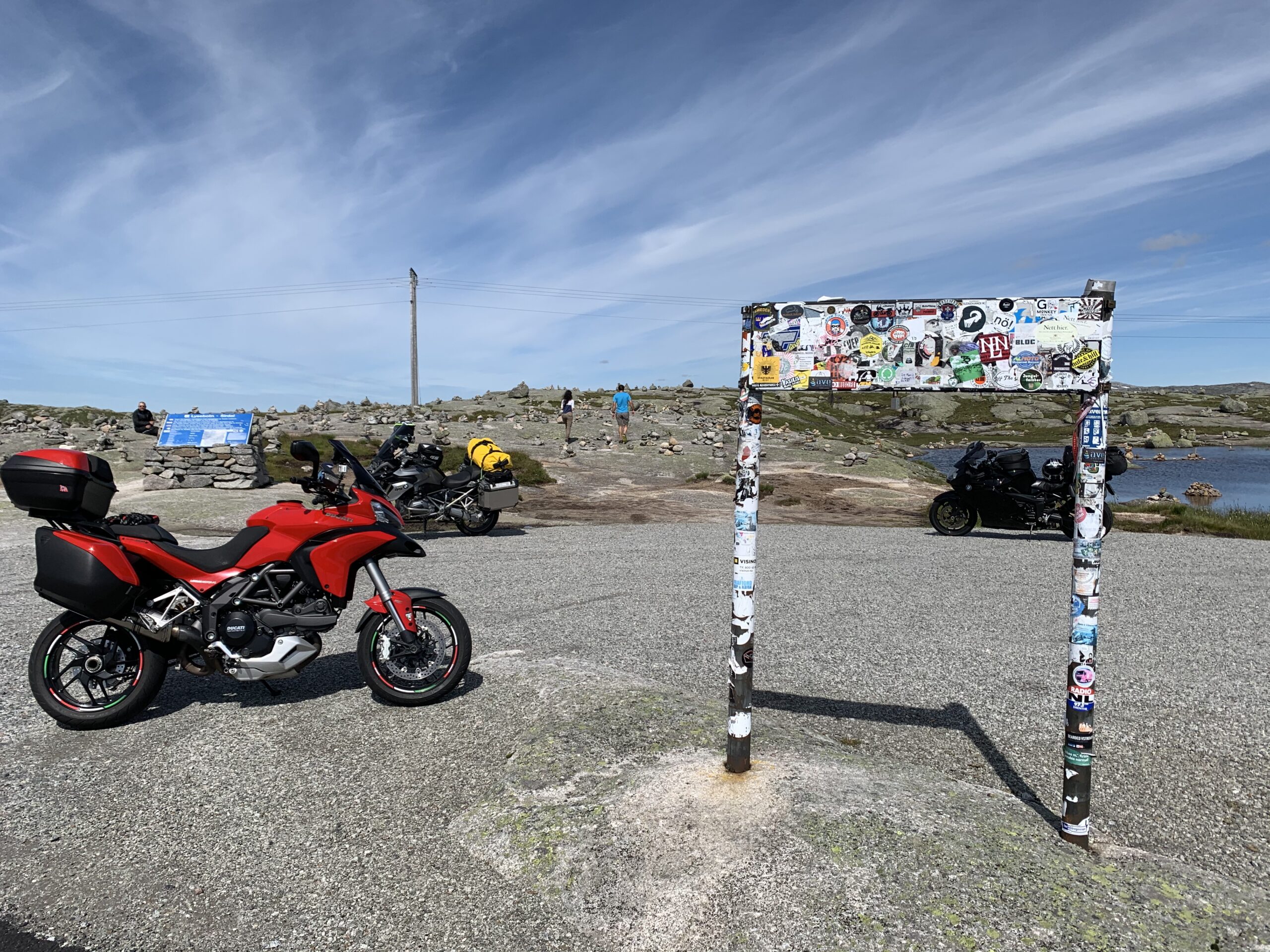
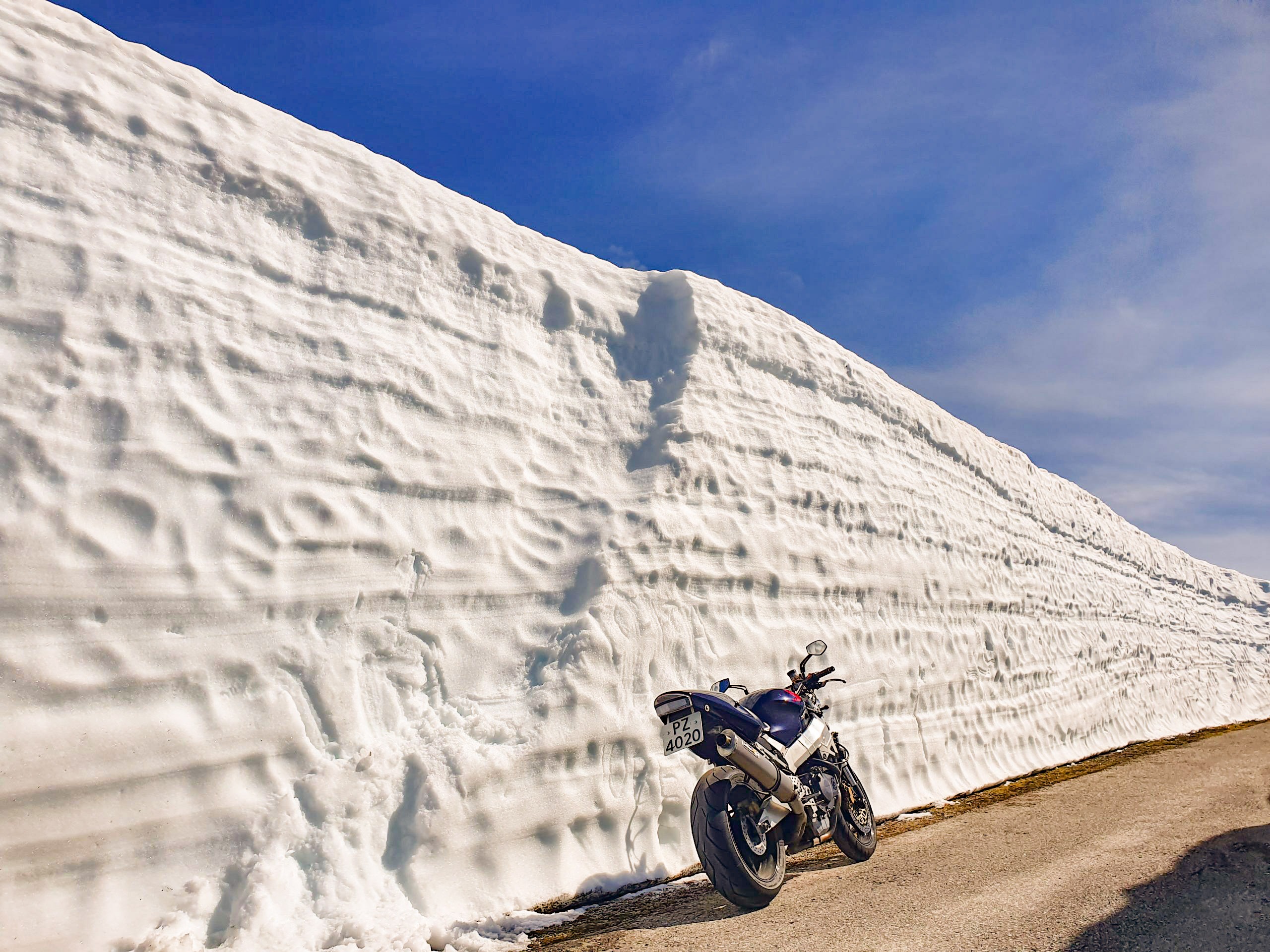
En dag spekket med flotte inntrykk og opplevelser. Hele turen tar ca 10 timer så dette blir en skikkelig lang dag med mye variert kjøring og store naturopplevelser.