
Ruten defineres som normal
Ruter som defineres som normal egner seg for de fleste som har erfaring med noe krevende partier.Lengde
154 km

Popularitet
7.9 av 10

Det anbefales at GPS er satt til å velge raskeste rute og evt. unngåelser skrudd av for at ruten skal kalkuleres som beskrevet.
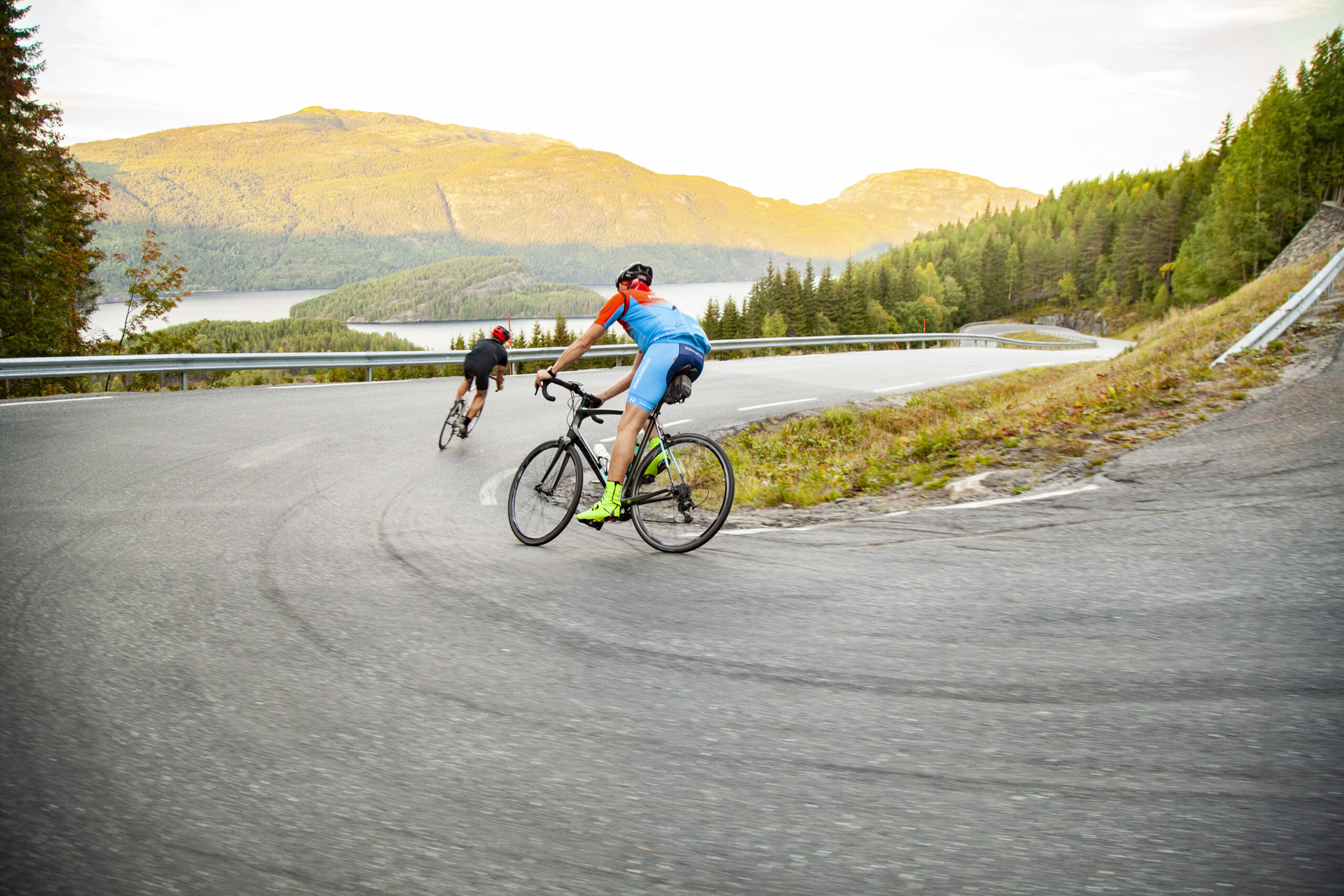
Turen langs Telemarkkanalen via Fjågesund og Flåvatn ned til Lunde er bare vakker, men også litt krevende med mange høydekoter.