Ruten defineres som ekstrem
Ruter som defineres som ekstrem egner seg for personer som er kjent med krevende partier og har lang erfaring.Tid
12:00 timer
Lengde
153 km

Popularitet
6.5 av 10
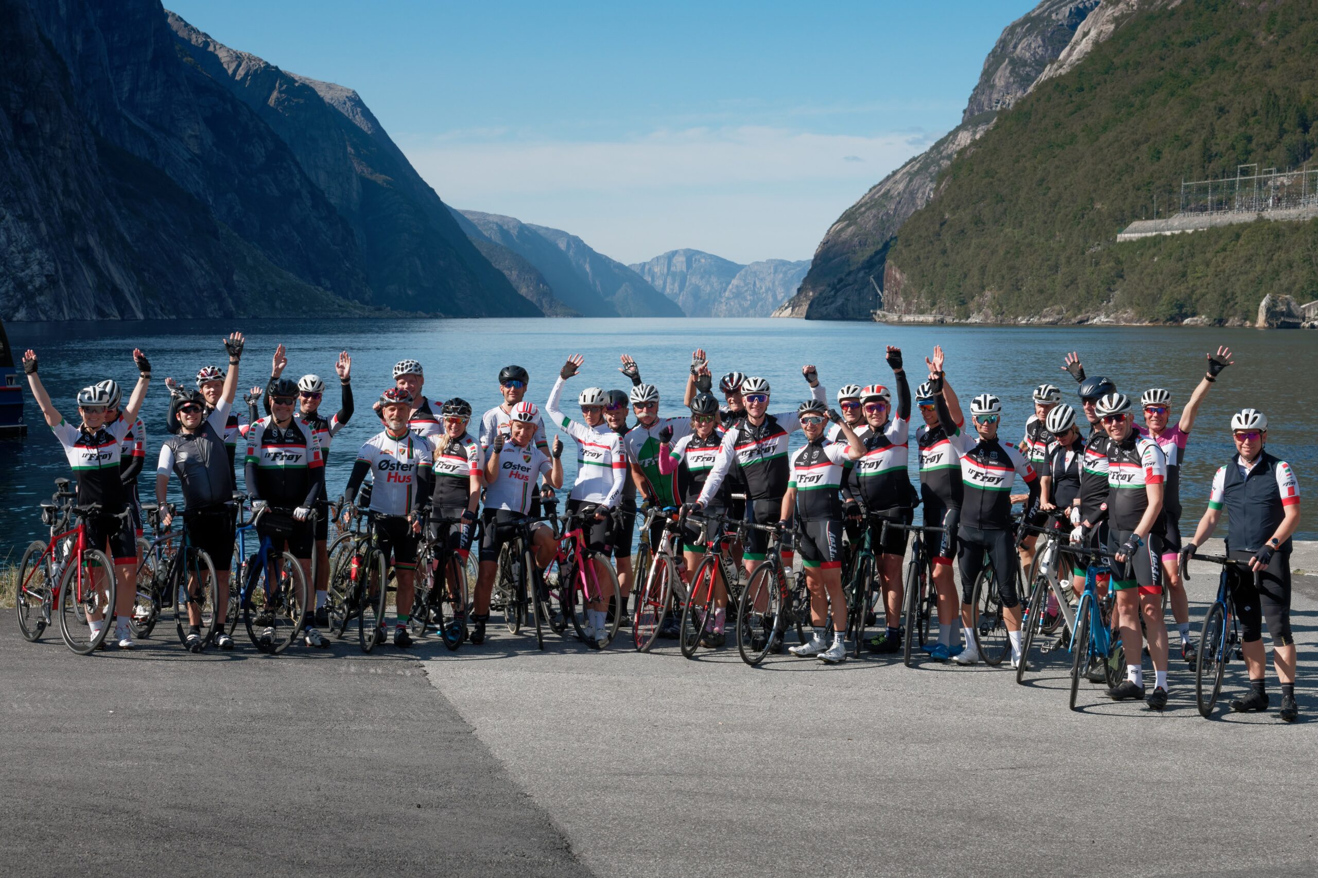
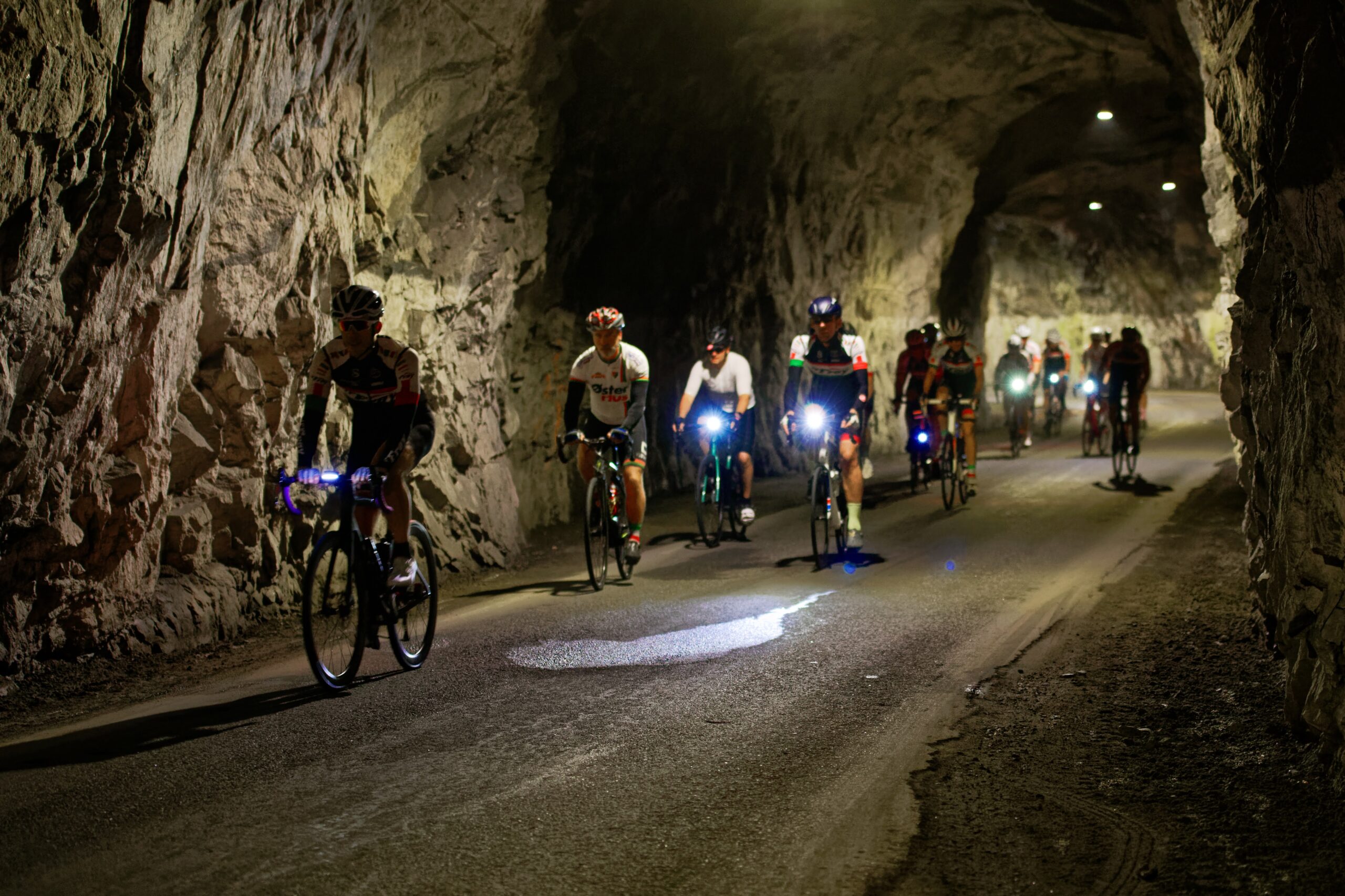
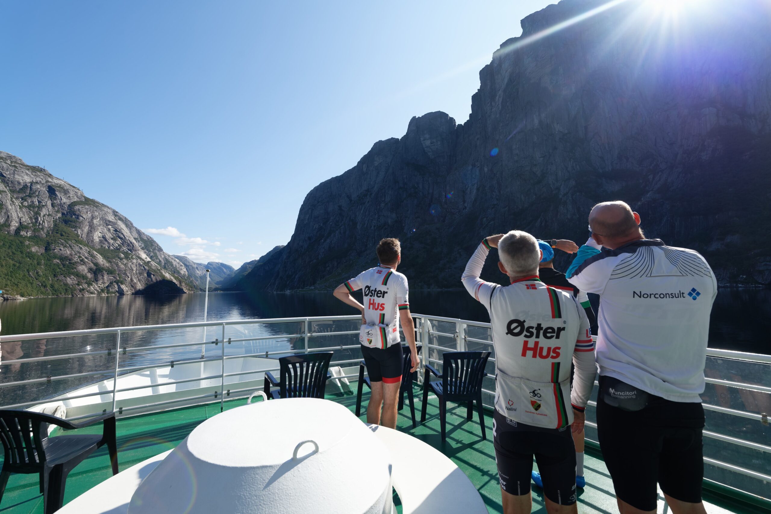
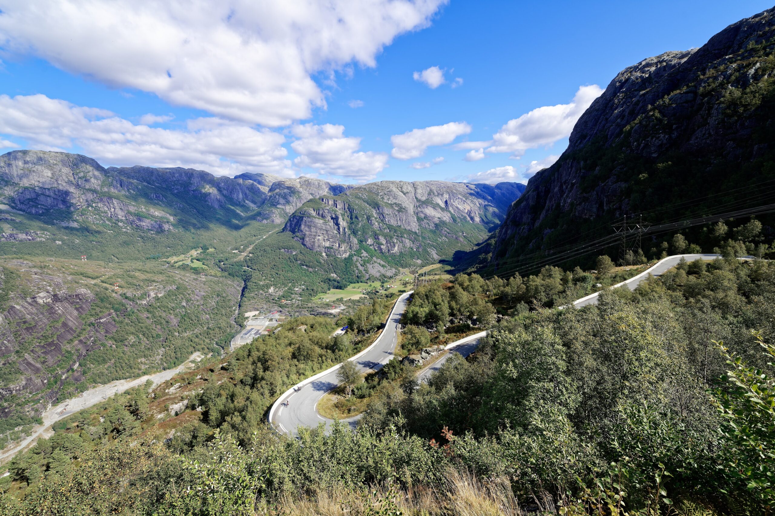
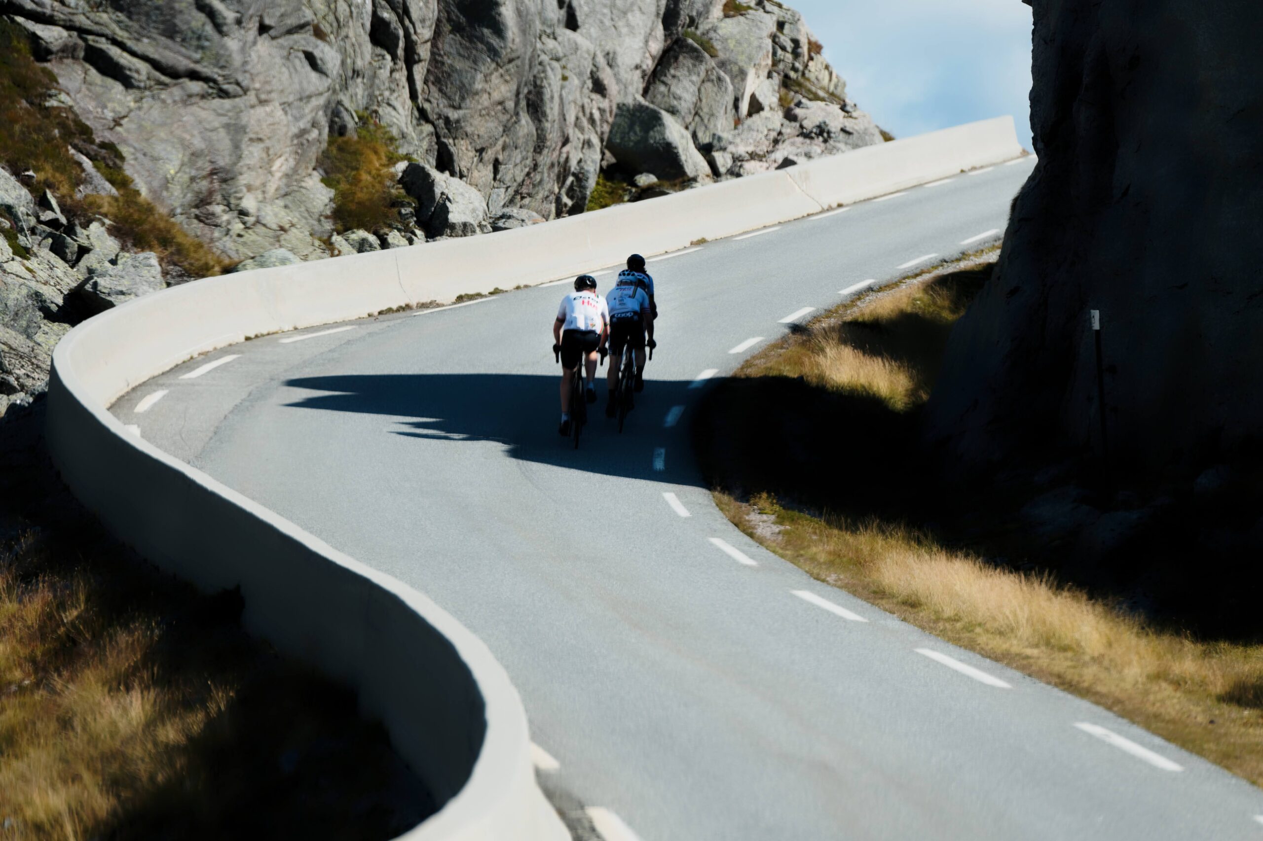
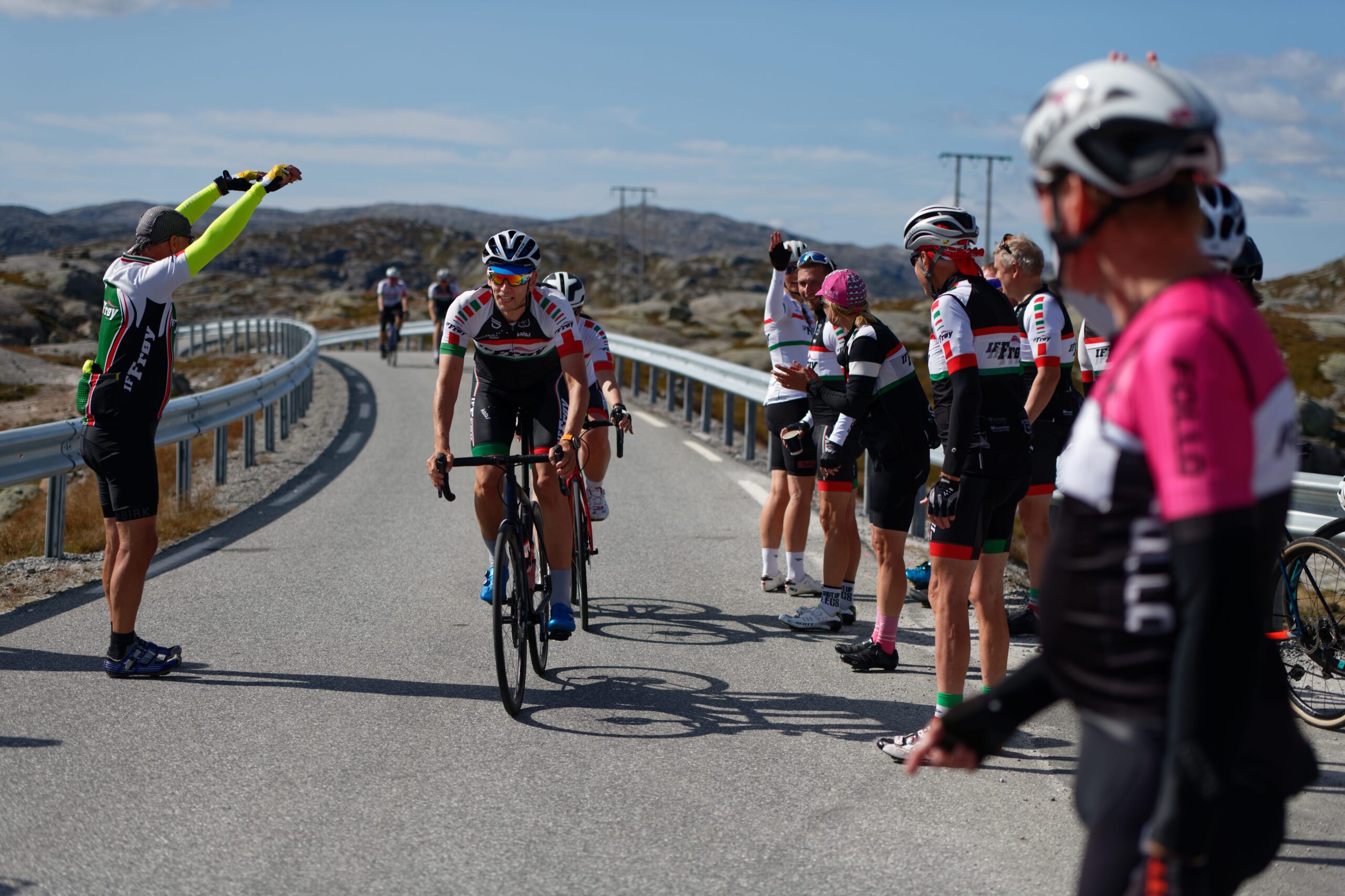
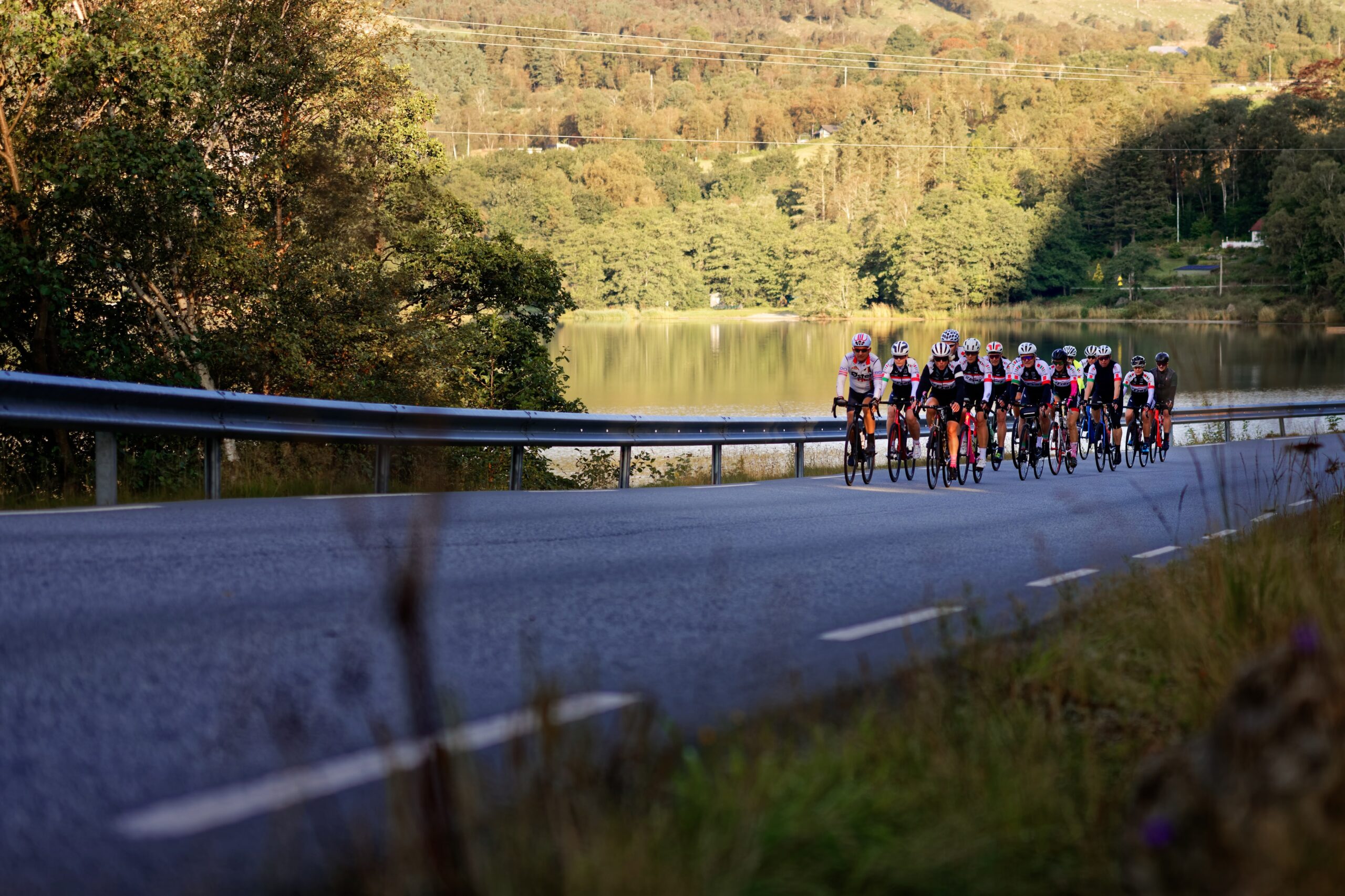
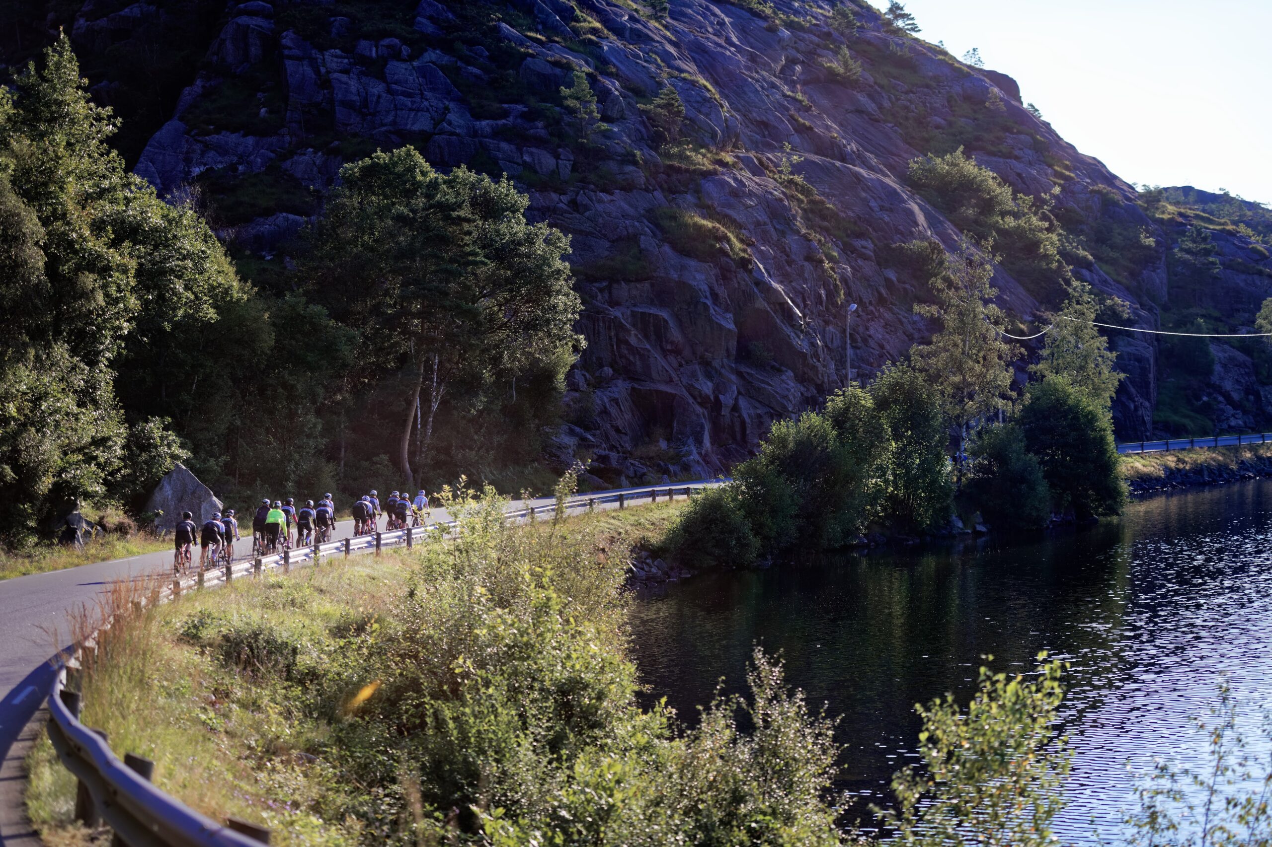
Sentrale elementer på denne turen er løypa fra Sandnes inn til Lauvik. Deretter ferjecruise inn Lysefjorden og til slutt selve hovedutfordringen med ca. 15 km klatring opp fra Lysebotn med avsluttende etappe tilbake til Sandnes på 115 km.