
Ruten defineres som normal
Ruter som defineres som normal egner seg for de fleste som har erfaring med noe krevende partier.Lengde
181 km

Popularitet
8.8 av 10
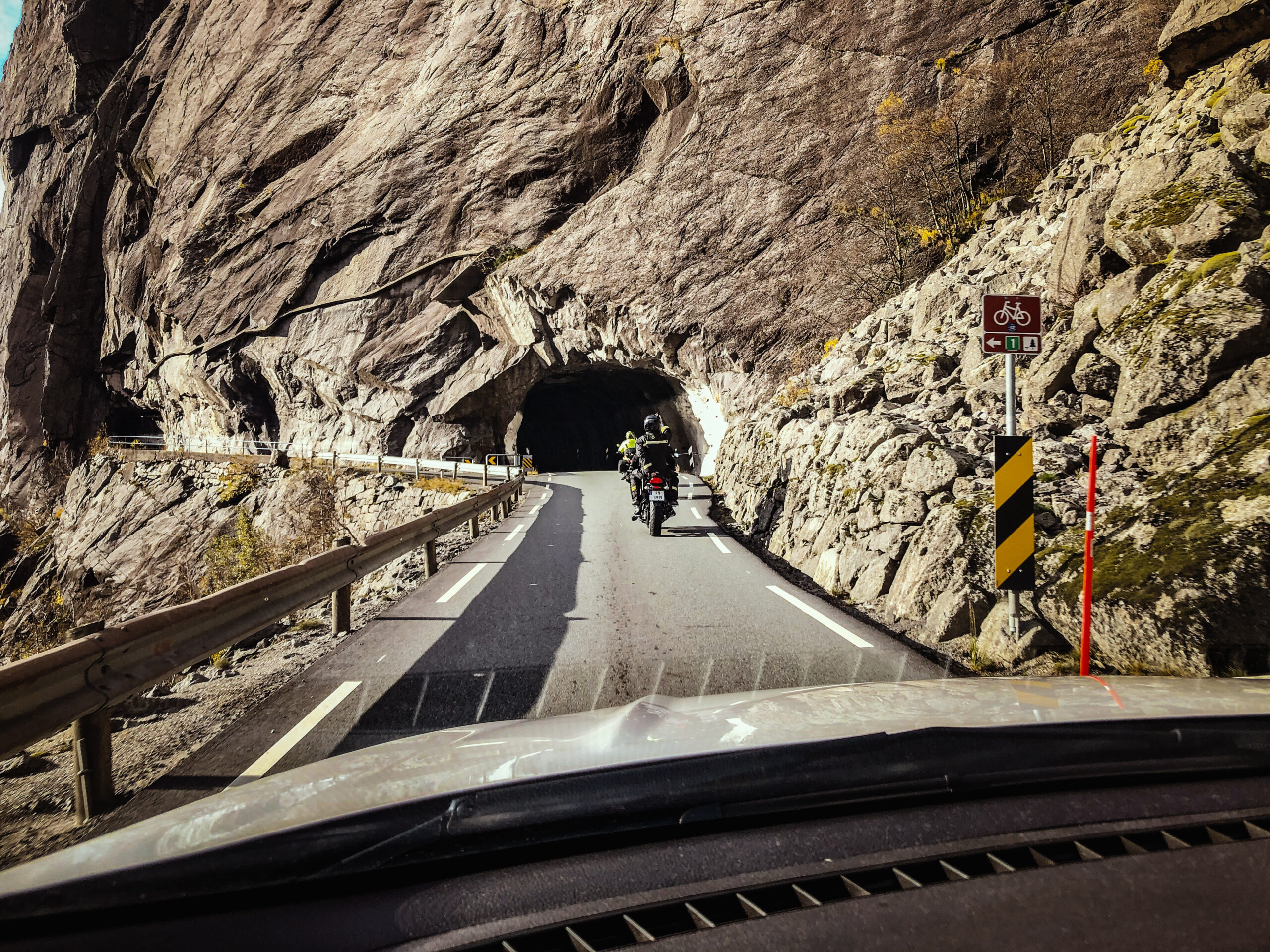
Her får en kjøre helt langs sjøen, nesten som å være i båt. Her kan en legge inn et lite stopp på Nesvåg Sjø og Motormuseum. Deretter fortsetter en forbi Rekefjord og så passer det med et lite stopp for lunsj, kaffe og guidet omvisning på det gamle ladestedet Sogndalstrand Kulturhotell om en vil.