
Ruten defineres som enkel
Ruter som defineres som enkel egner seg for alle uavhengig av erfaring.Lengde
117 km

Popularitet
6.7 av 10

Rute 3: Svinslåarunden
Det anbefales at GPS er satt til å velge raskeste rute og evt. unngåelser skrudd av for at ruten skal kalkuleres som beskrevet.
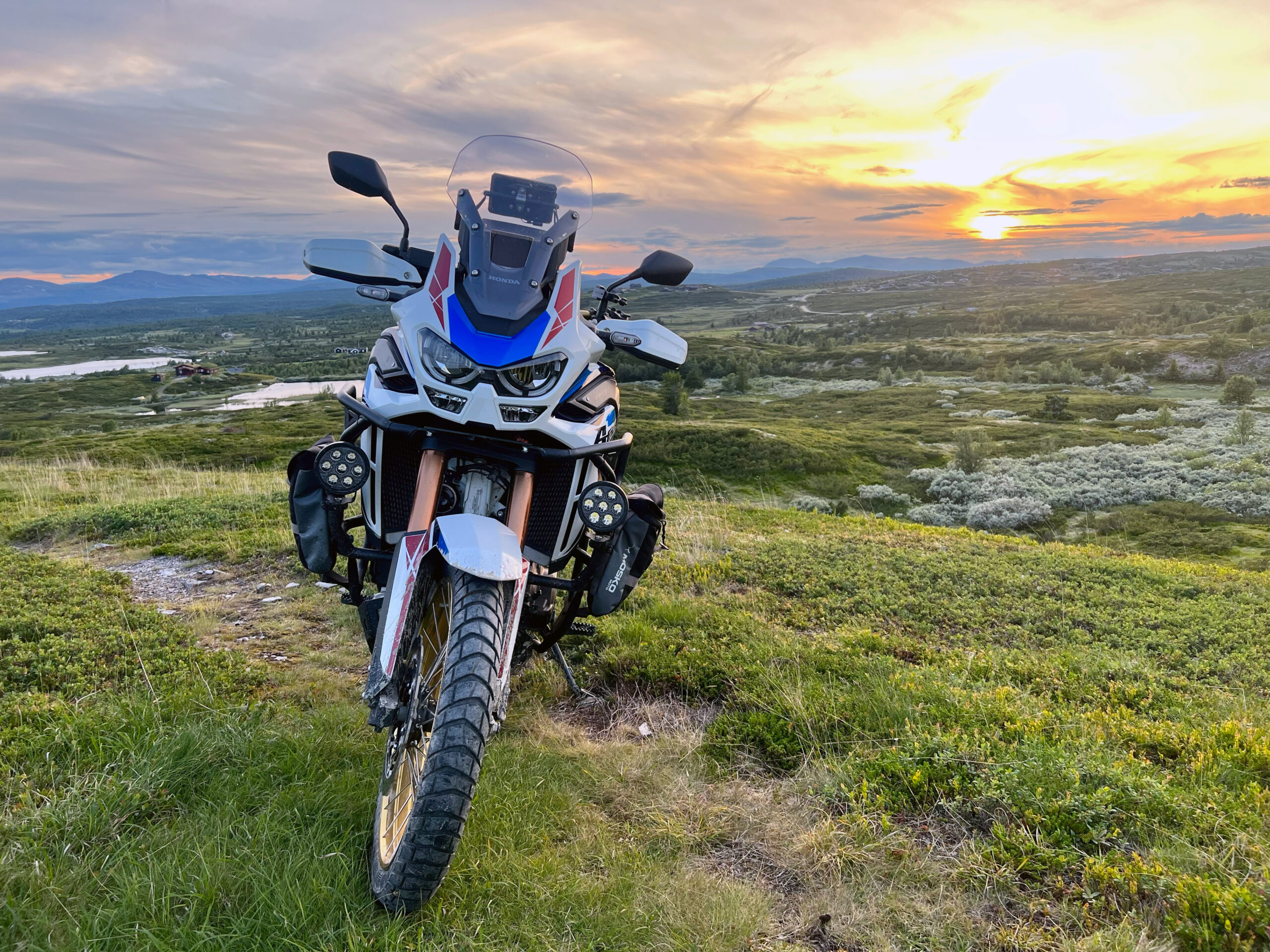
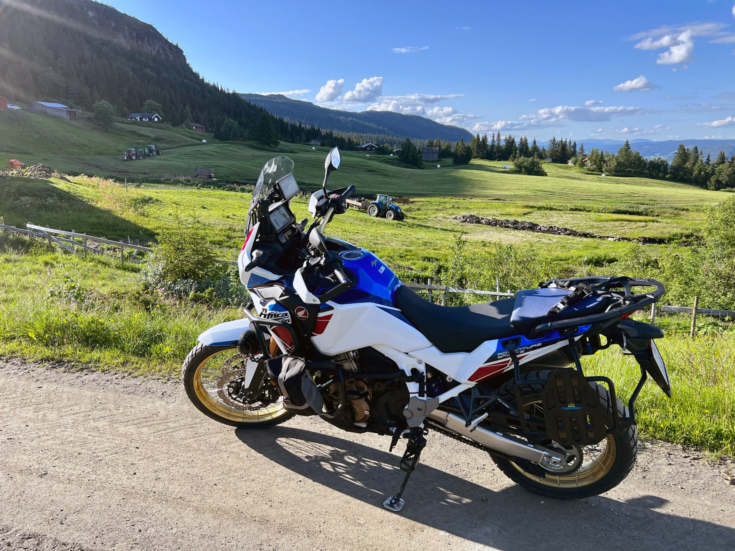
Turen rundt om Svinslåa rett vest for Kvitfjell er en nydelig oppvarmingsrunde i eftassol der du starter og slutter med asfalt, men har mange mil med utrolige fine fjellveier på grus.


Du starter nordover baksideveien og fortsetter rett inn i «korketrekkeren» på veien mot Musdalsseter. Husk å lukke grinda etter deg på veien da det går beitedyr i området.
Etter å ha kjørt forbi vakre Musdalseter hyttegrend fortsetter turen nordover forbi Roåker og Bånsætra før du svinger en liten tur ned i dalen igjen og deretter mot Kvitfjell Vest. Om det er tid for kaffe anbefales en stopp på Tyrihanstunet. Videre nordover Svinslåvegen bør du være oppmerksom på beitedyr og passe på å lukke igjen grinder etter deg.
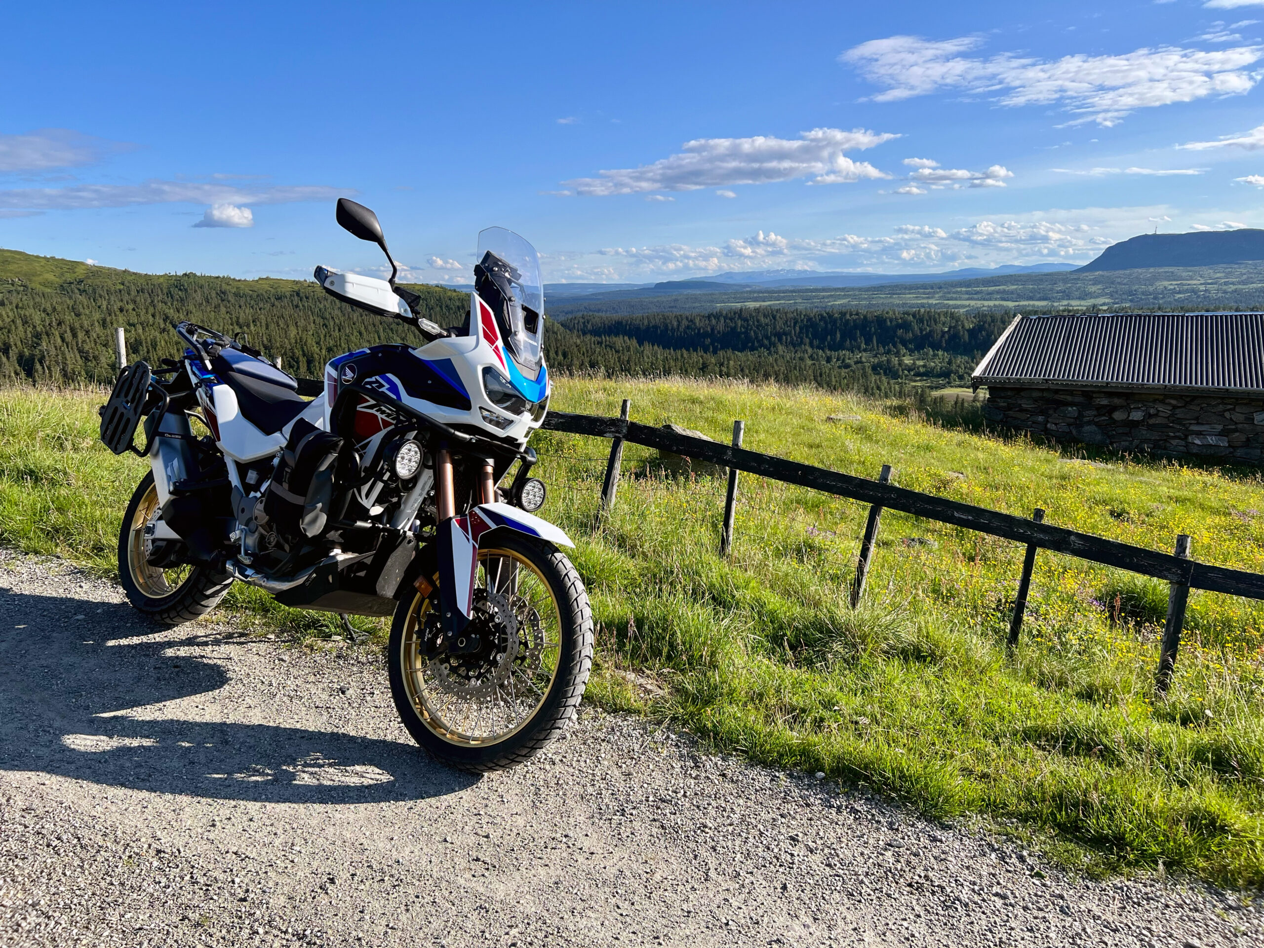
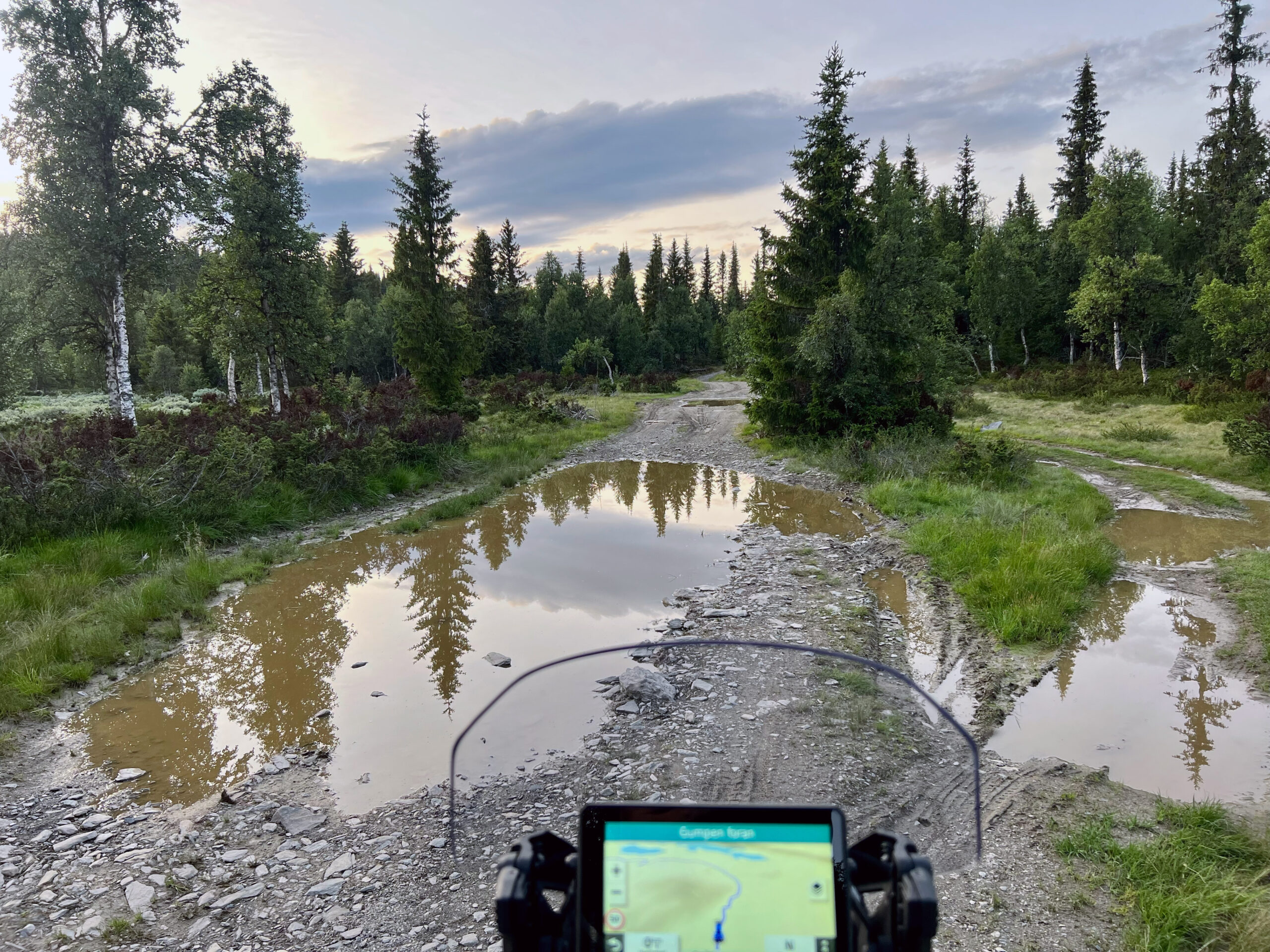
Mellom Svinslåa seter og Søre Lia seterveg er det flere morsomme og litt mer tekniske partier. Opp mot Fagerøy er grusveien bred og kjøreforholdene gode. Snaut 2 km sør for Fagerøykrysset anbefaler vi en kort fotostopp på utsiktspunktet.
Turen går videre forbi Skei med eventuelt en stopp på Skeistua seterkafe. Deretter går turen hjemmover via Øverbygdsvegen mot Follebu kirke før du deretter tar av mot Øyer og Nermo igjen. Det er noen tekniske partier før du bikker ned mot dalbunnen igjen.
Bomveier
Musdalsetervegen kr 0,-
Svinslåvegen kr 10,-
Søre Lia seterveg kr 0,-
Peer Gyntvegen kr 90,-
Support
Dette kommer først og fremst an på om du har montert en GPS, navigerer etter App på mobiltelefonen eller foretrekker papirutskrift. Her beskriver vi de vanligste arbeidsflytene:
Mange av rutene på Hubriding bruker appen Ride with GPS for ruteplanlegging og navigering av rutene. Denne kan du laste ned i gratisversjon eller betale for utvidet bruk. Trykk på lenken Send to Device på kartet på denne siden, når appen har startet og du ser aktuell rute trykker du Navigate og så er det bare å følge ruta.
Hubriding betyr at du med base på et av De Historiske hotell, velger blant mange definerte kjøreruter som ligger i omlandet til hotellet. Rutene vi tilbyr går i noe av Norges aller beste terreng og omfatter titusenvis av svinger, spektakulære fjelloverganger, asfalt, grus, herlige naturopplevelser og muligheten til å spise godt ved lokale etablissementer. I rutene har vi lagt inn severdigheter og spisesteder du kan besøke. Du vil kunne velge mellom en rekke ruter og rutekombinasjoner som gjør det mulig å velge dagsetapper med varierende lengde og vanskelighetsgrad. Konseptet er utviklet av Straand Hotel i Vrådal sammen med Norges fremste MC-entusiaster