The route is defined as easy
Routes defined as easy are suitable for everyone regardless of experience.Length
117 km
Popularity
7.5 av 10
Route 3: Svinslåarunden
It is recommended that the GPS is set to select the fastest route and any Avoidance turned off for the route to be calculated as described.
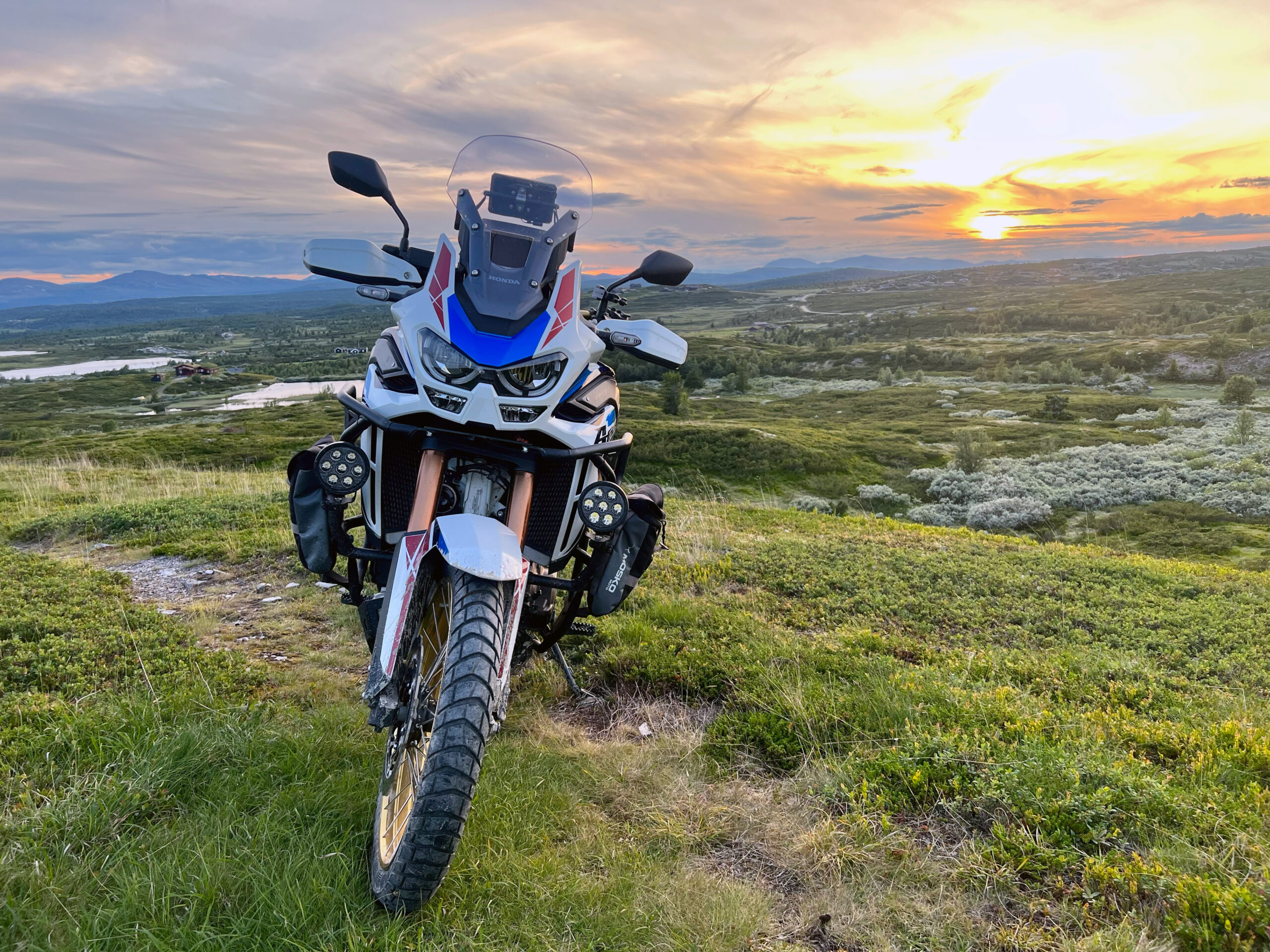
The tour around Svinslåa just west of Kvitfjell is a beautiful warm-up round in the eftassol where you start and end with asphalt, but have many miles of incredibly nice mountain roads on gravel.
You start north on the back road and continue straight into the “corkscrew” on the road towards Musdalsseter.
Remember to close the gate behind you on the road as there are grazing animals in the area.
After driving past the beautiful Musdalseter cabin hamlet, the tour continues north past Roåker and Bånsætra before taking a short turn down into the valley again and then towards Kvitfjell Vest.
If it’s time for coffee, we recommend a stop at Tyrihanstunet.
Further north on Svinslåvegen you should be aware of grazing animals and be sure to close the gates behind you.
Between Svinslåa seter and Søre Lia seterveg there are several fun and slightly more technical sections.
Towards Fagerøy, the gravel road is wide and driving conditions are good.
Just 2 km south of the Fagerøy junction, we recommend a short photo stop at the viewpoint.
The tour continues past Skei with a possible stop at Skeistua seterkafe.
You then head home via Øverbygdsvegen towards Follebu church before heading towards Øyer and Nermo again.
There are some technical sections before you turn down towards the valley floor again. Toll roads Musdalsetervegen NOK 0,- Svinslåvegen NOK 10,- Søre Lia seterveg NOK 0,- Peer Gyntvegen NOK 90,-
Support
This primarily depends on whether you have a GPS installed, navigate by App on your mobile phone or prefer paper printing. Here we describe the most common workflows:
Many of the routes on Hubriding use the app Ride with GPS app for route planning and navigation of the routes. You can download a free version or pay for extended use. Click on the Send to Device link on the map on this page, when the app has started and you see the current route, press Navigate and then just follow the route.