Ruten defineres som enkel
Ruter som defineres som enkel egner seg for alle uavhengig av erfaring.Tid
2:30 timer
Lengde
26 km

Popularitet
6.2 av 10
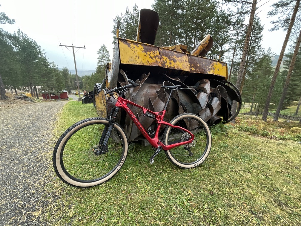
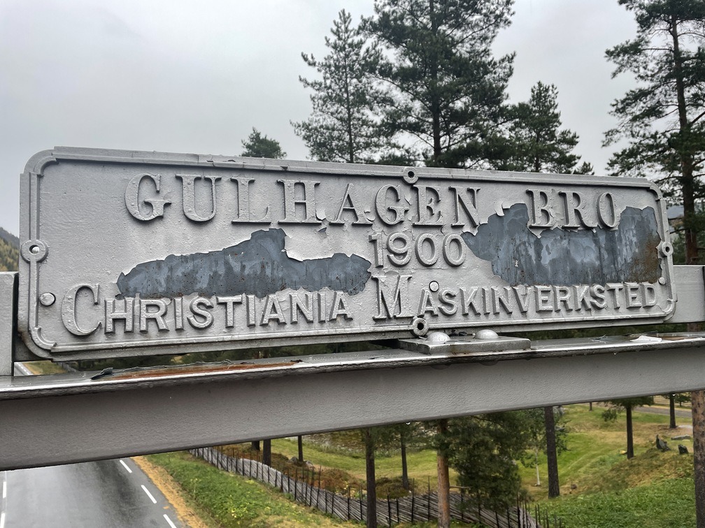
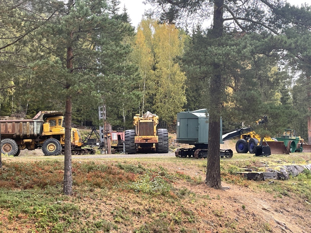
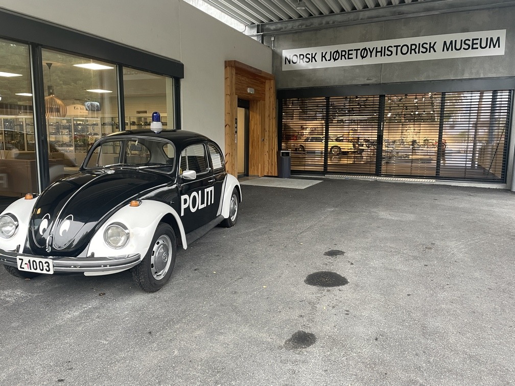
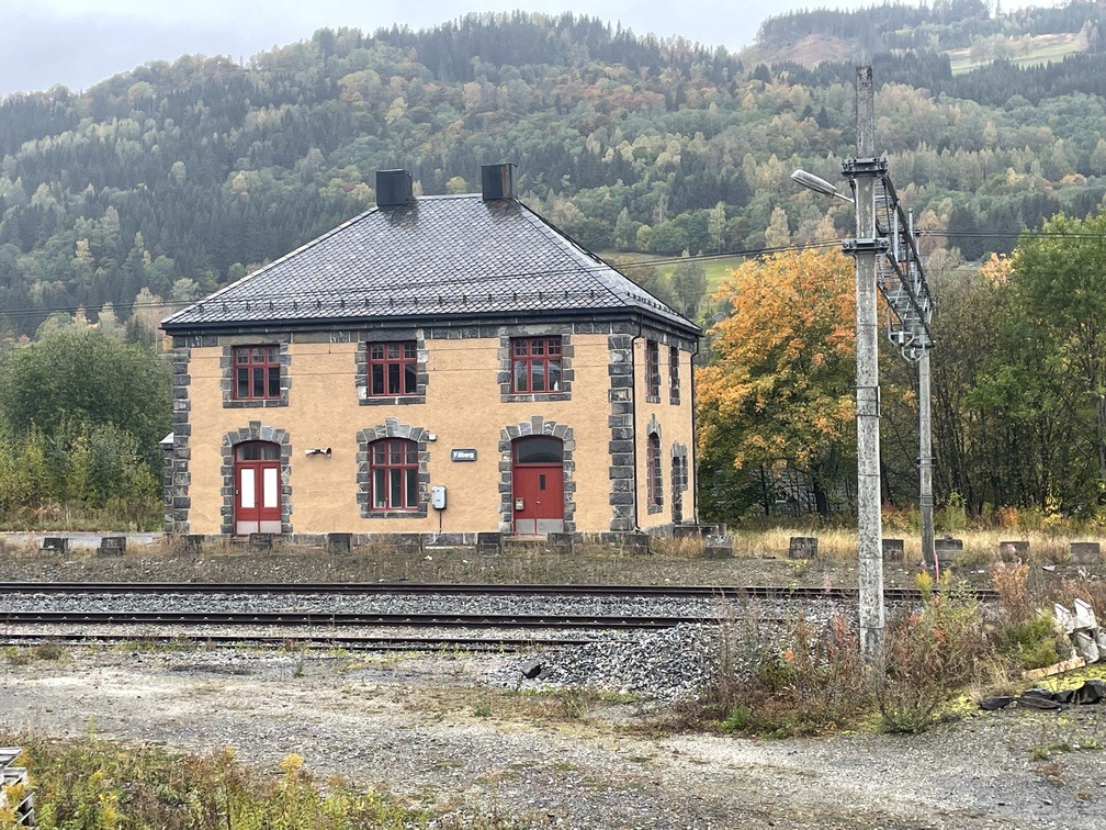
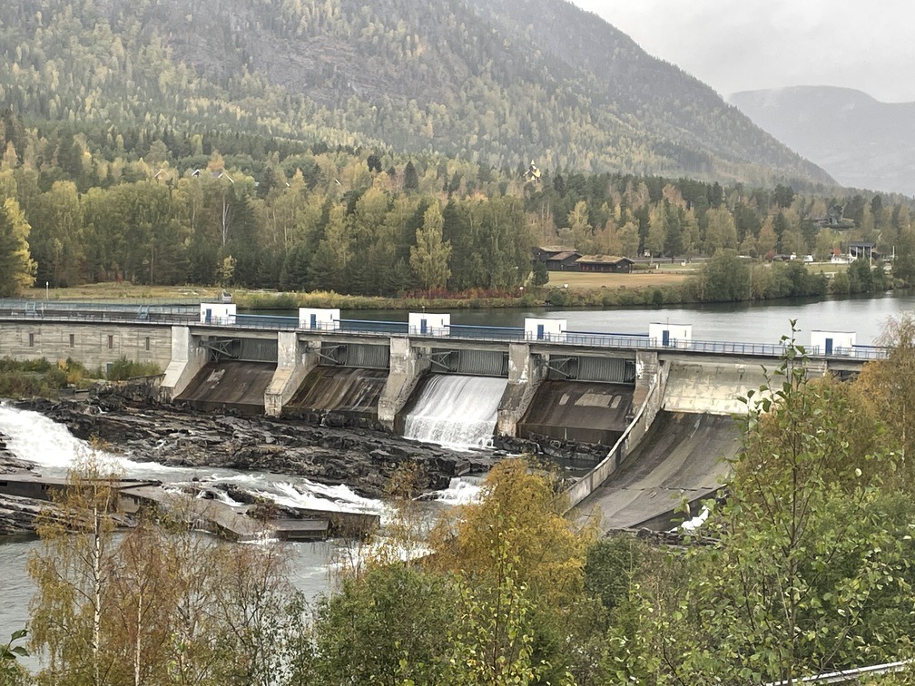
Du triller ned fra hotellet på gang- og sykkelvei og til dels på fortau. Hold til høyre i første kryss (Gamlevegen) og ta deg ned Granrudvegen gjennom Øyer, ta til høyre inn på Hundervegen, videre under E6 og på bru over Lågen. Herfra følger du asfaltveien et stykke, men følg med på ruteanvisningen så du finner kjerreveien til venstre som tar deg rett inn i området til Norsk vegmuseum. Her er det fint å sykle rundt og titte på eldre maskiner før du stikker innom selve museet med Pelle politibil og mye annet spennende.