
Ruten defineres som normal
Ruter som defineres som normal egner seg for de fleste som har erfaring med noe krevende partier.Tid
4:00 timer
Lengde
63 km

Popularitet
8.4 av 10

Det anbefales at GPS er satt til å velge raskeste rute og evt. unngåelser skrudd av for at ruten skal kalkuleres som beskrevet.
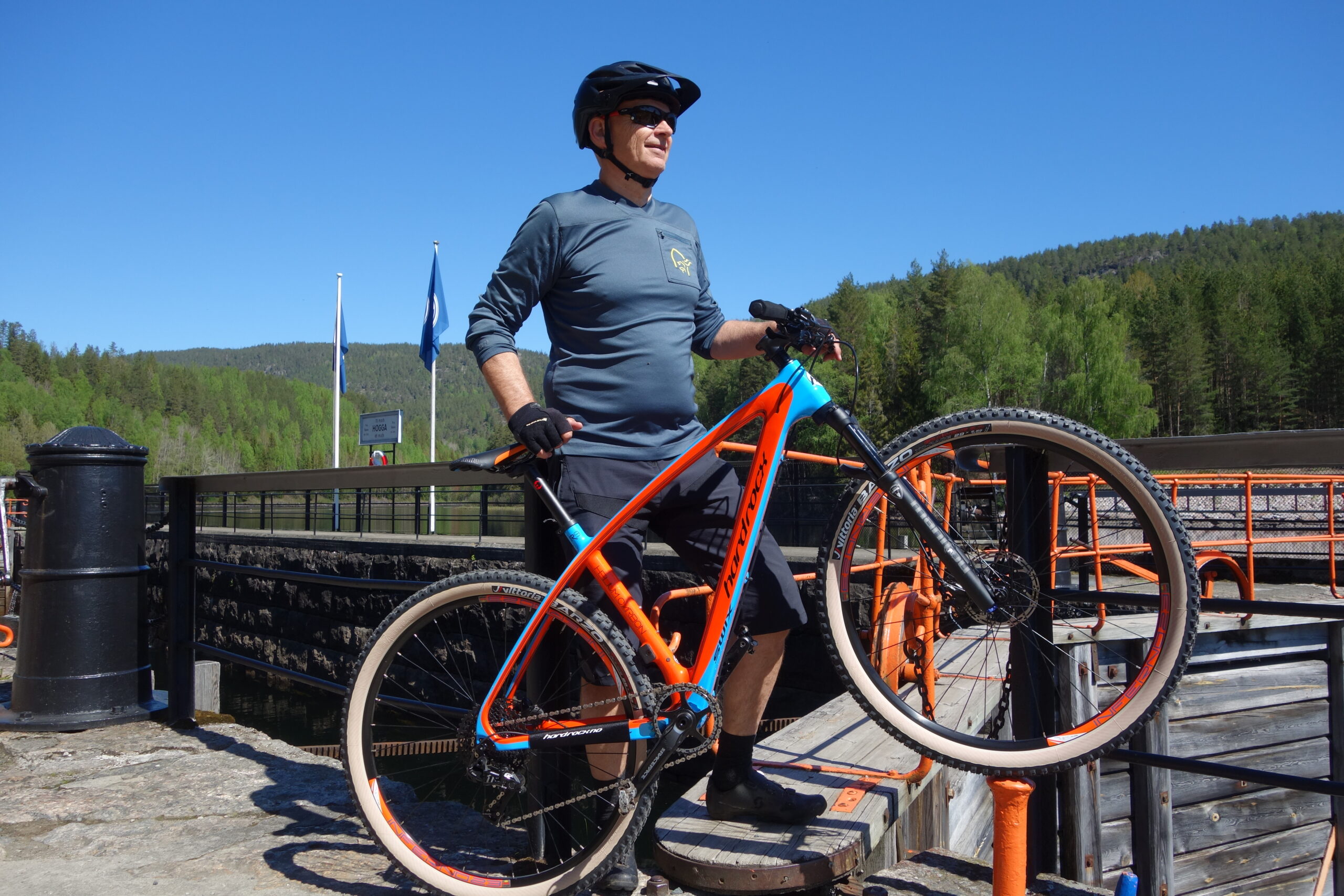
Turen starter fra hotellet og målet er Lunde sluser. Derfra går kanalbåten tilbake og du må rekke MS Henrik Ibsen eller MS Victoria for retur kl 13.05. Du sykler opp riksveien fra hotellet i Vrådal og ned Kviteseidkleivene, tar av på Fjågesundveien ved Kviteseid bygdetun i bunn av kleivene. Turen går videre i nydelig skogsterreng langs Kviteseidvatn til Fjågesund der du tar over brua og følger østsiden av Flåvatn videre. Her er det mange vakre utsiktspunkter og nå du nærmer deg Hogga sluser tar du av fra riksveien og følger en praktfull grusvei helt tett på kanalen forbi Hogga sluser. Ser du at tida blir knapp kan du vente på båten som har anløp her en time seinere enn fra Lunde.