
The route is defined as normal
Routes defined as normal are suitable for most people who have experience with somewhat demanding partiesTime
3:30 hours
Length
149 km

Popularity
7out of 10

Route 2: Brimiland - Blåhø
It is recommended that GPS is set to select the fastest route and any avoidance turned off in order for the route to be calculated as described.
A spectacular gravel walk to Brimiland and Blåhø via Heidalskogen
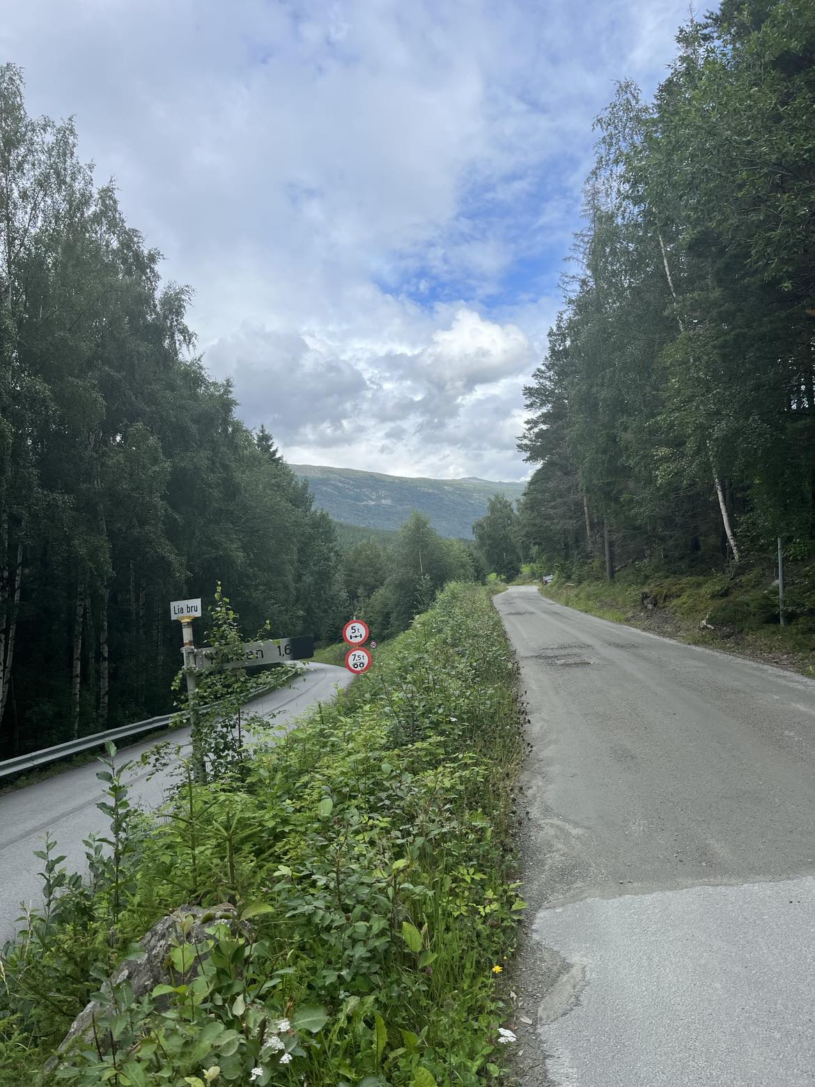
From Fossheim Hotel, the tour starts on highway 15 in the direction of Vågå. After 5 minutes on the asphalt, turn left towards Liabrue and then right onto Kollavegen, a narrow gravel road that winds its way down along the Ottawa River. This is an old gravel road with mossy standing stones and handmade retaining walls.
When the gravel road turns to asphalt, you will approach Garmo and here you will again turn onto road 15 towards Vågå. Now you have to pay attention, because after about a kilometer you have to turn right, up Kleppdalsvegen. There are poor signs here! Kleppdalsvegen is a toll road, and there is an information board by the road.
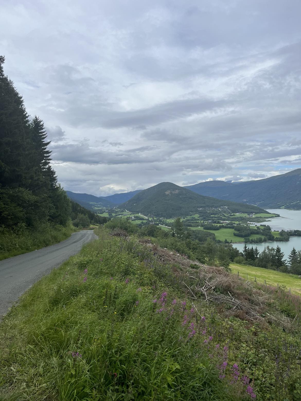
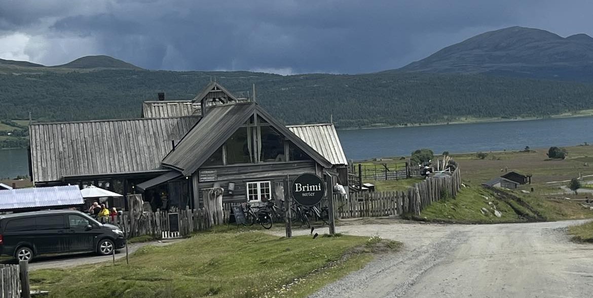
For the next 10 km, the road climbs 500 meters up to Brimiland. Here you pass Vianvang, Brimi Fjellstue and Brimi sæter. The latter two are ideal for a coffee stop.
From Brimi Sæter, the gravel road continues into the mountains alongside the lake Tesse. You are now on a new toll road and an information board is also located here by the road. When you reach the end of Tesse, the road splits. Keep left on Fuglesætervegen and continue until you reach Randsverk.
In Randsverk, turn left onto road 51. Then turn right towards Heidal on road 257. From Randsverk you get a few kilometers of asphalt down to Heidal. If you want a coffee stop here, we recommend Heidal Ysteri, which has its own café with fantastic baked goods. From Heidal, the road continues on road 456 towards Lalm. Here there is a good section of gravel road over Heidalskogen and through the bends down towards Lalm.
When you get down to Lalm, the gravel road becomes asphalt again and you drive over the bridge over the Ottawa River and then turn left onto road 15 towards Vågå.
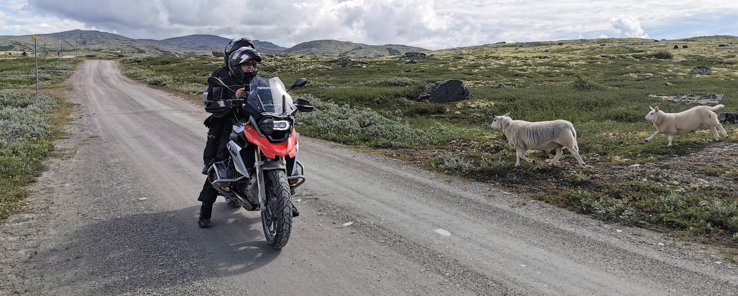
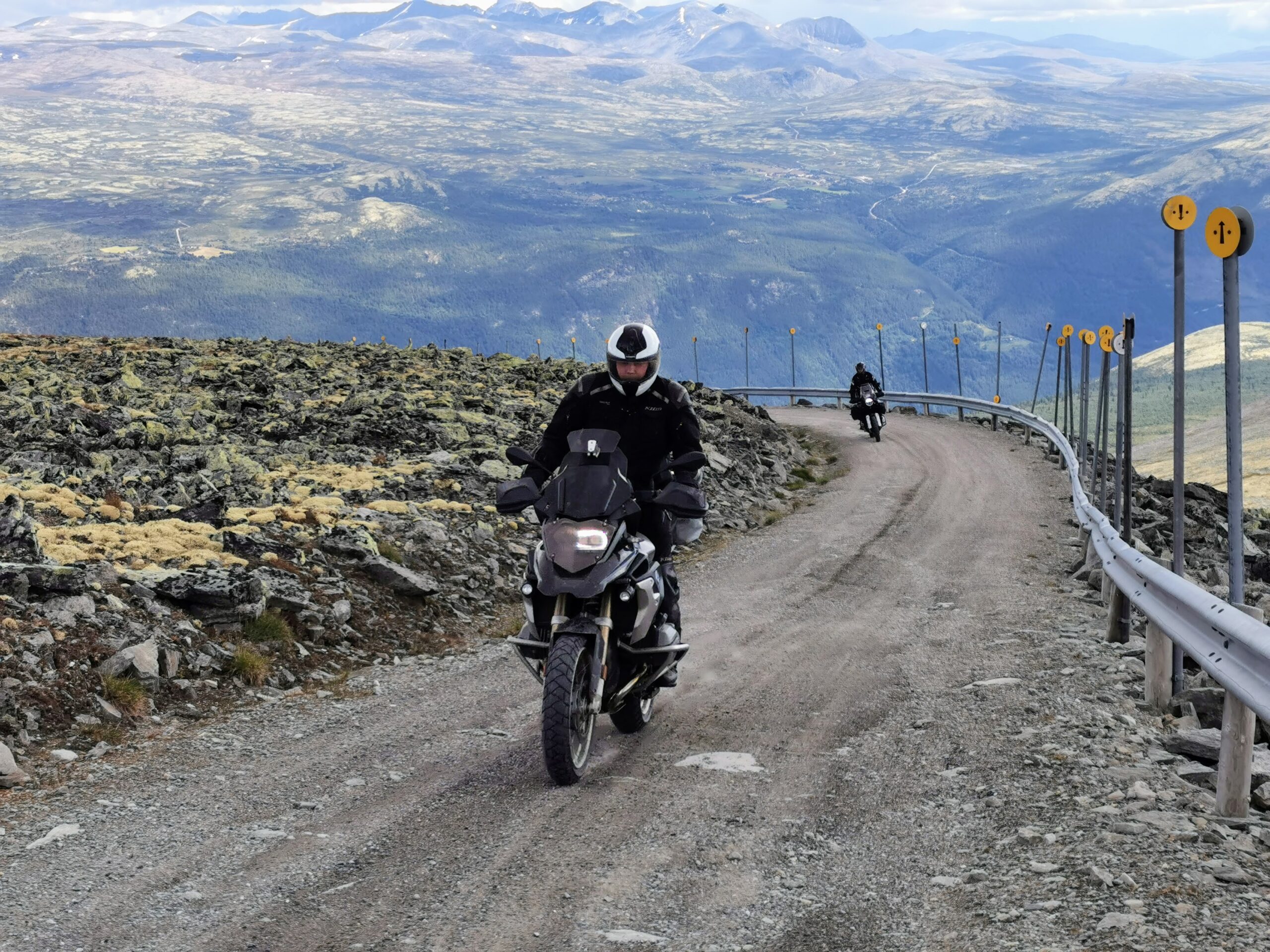
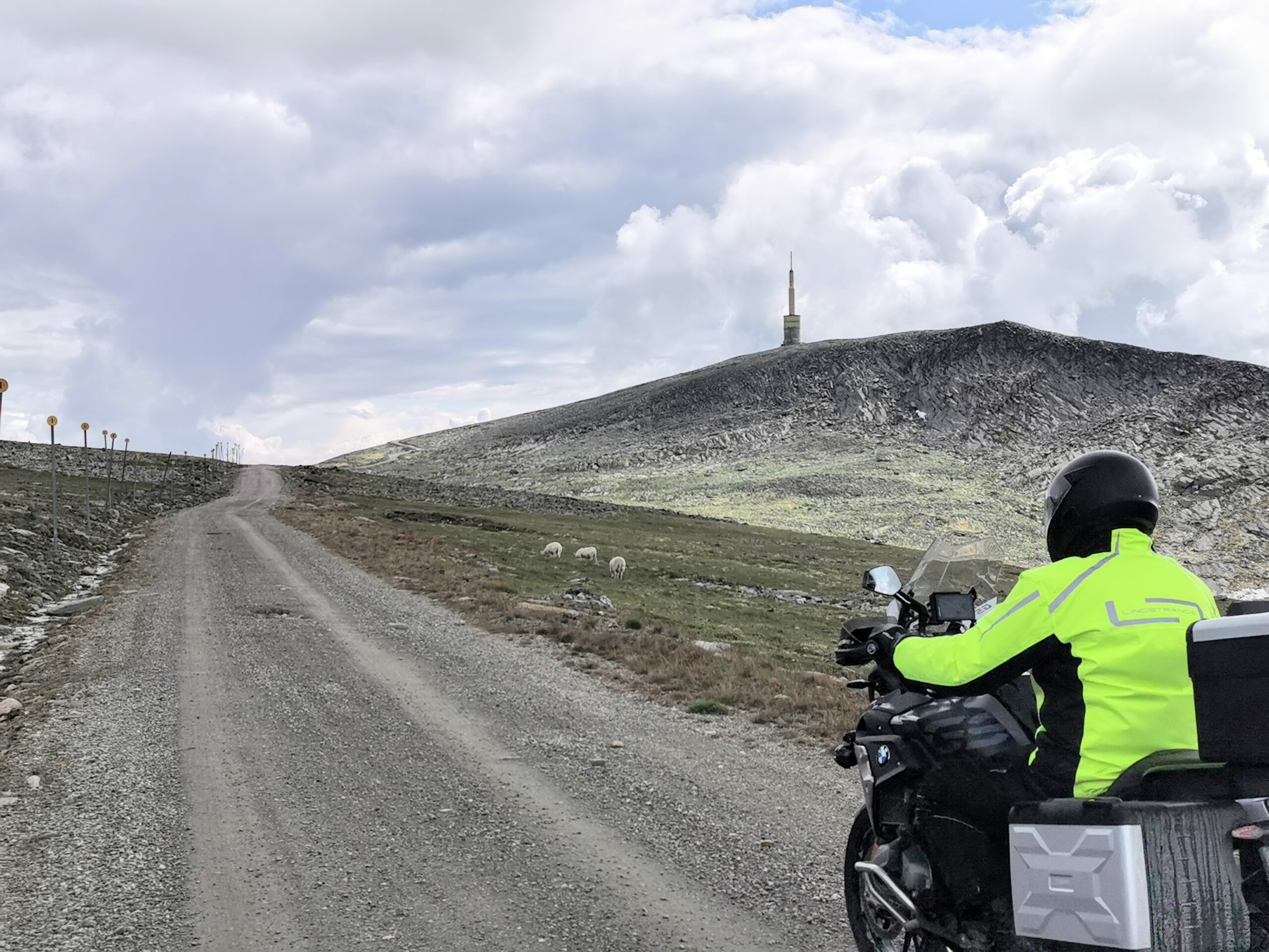
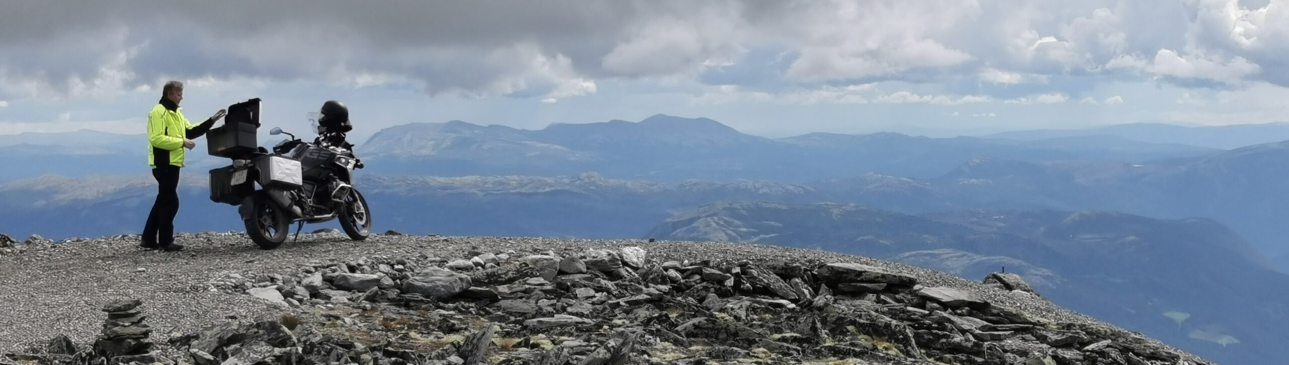
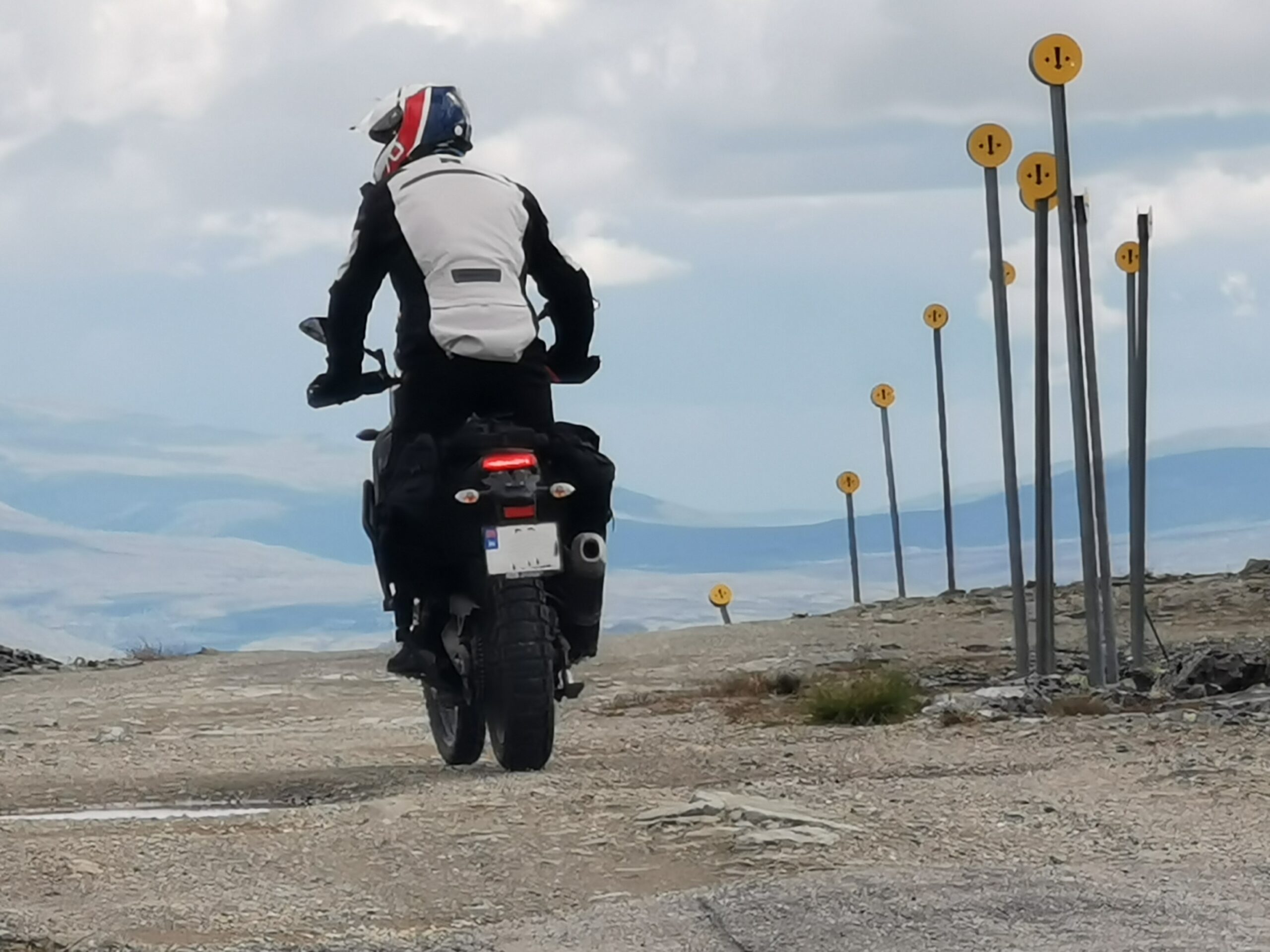
In Vågå, you must enter the town center and at the intersection by the hotel, follow the well-signposted road up towards Blåhø. The asphalt eventually turns into a toll gravel road that takes you up over the tree line and into Jettfjellet to the mountain peak Blåhø at 1617 meters above sea level. From here you get a beautiful panoramic view of Jotunheimen, Reinheimen, Rondane and Dovrefjell.
The return trip takes the same route back down to the city center. Here we recommend a stop at one of Vågås' good cafés and eateries before you take the last leg back to Lom.
At the west end of Vågå town center, follow the well-signposted Solsidevegen along Vågåvatnet lake. This hilly final stage is on both asphalt and gravel and takes you all the way back to Lom and Fossheim Hotel.
Support
How can I navigate the route?
This depends primarily on whether you have installed a GPS, navigate by App on your mobile phone or prefer paper printouts. Here we describe the most common workflows:
- Download the GPX file for the route you want to your computer
- Import the file to your route planning tool (e.g. Garmin's Basecamp or Tom Tom's MyDrive)
- Export the route to your GPS in the usual way
- Check that the route is calculated correctly in your GPS (It is recommended that the GPS is set to select the fastest route and any avoidance turned off for the route to be calculated as described).
- Have a great trip!
- Download the GPX file for the route you want to your mobile phone
- Send/open the file in the App that belongs to your GPS model (e.g. Garmin's Drive or Tom Tom's MyDrive)
- Send the route to your GPS (follow the instructions that come with your GPS and App)
- Check that the route is calculated correctly in your GPS (It is recommended that the GPS is set to select the fastest route and any avoidance turned off for the route to be calculated as described).
- Have a great trip!
Many of the routes on Hubriding use the app Ride with GPS app for route planning and navigation of the routes. You can download this as a free version or pay for extended use. Click on the Send to Device link on the map on this page, when the app has started and you see the current route, click Navigate and then just follow the route.
- Click on the link in the map on the page and the map will open in a new window
- Print the map, with or without description
- Have a great trip!
