HubridingInnlandetNermo Hotel

Augseter - Hornsjø

Route 2

Augseter - Hornsjø

Pleasant round trip around Rognhaugen, Augseter and Hornsjø. Varied mountain and mountain pasture landscape with nice stops for photos and resting.

The route is defined as simple

Routes defined as easy are suitable for everyone regardless of experience

Time
3:30 hours

Length
36 km

Popularity
6out of 10

Calculated automatically

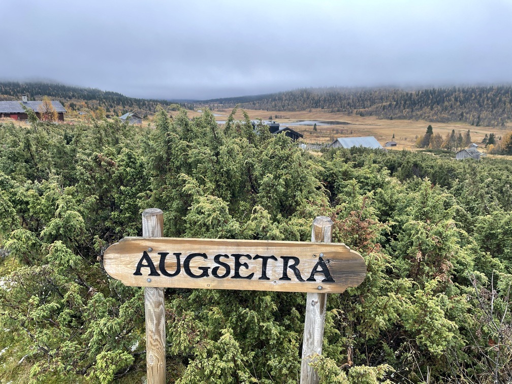
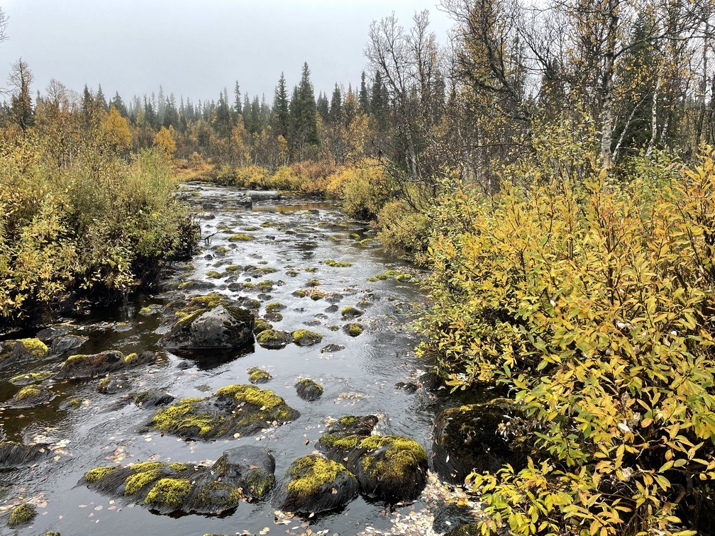
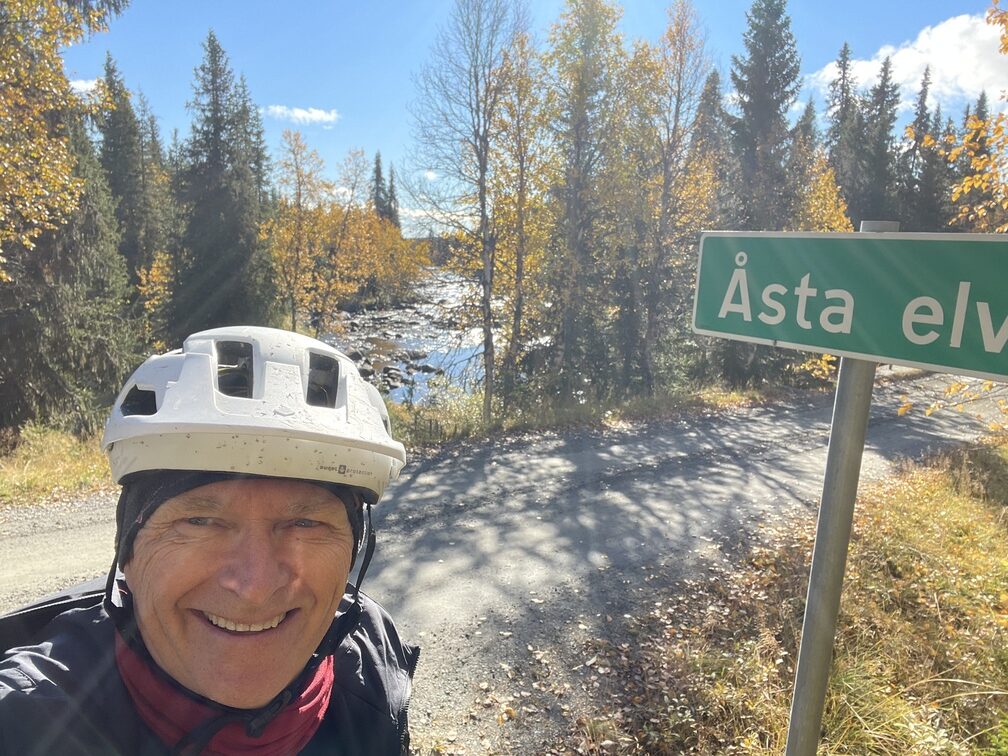
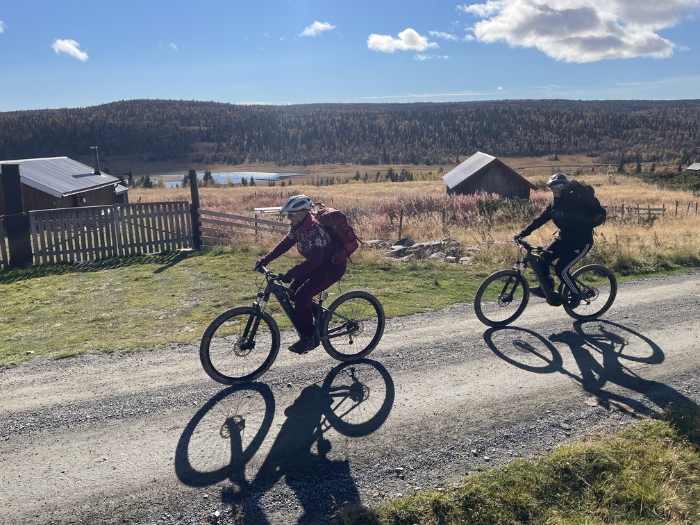
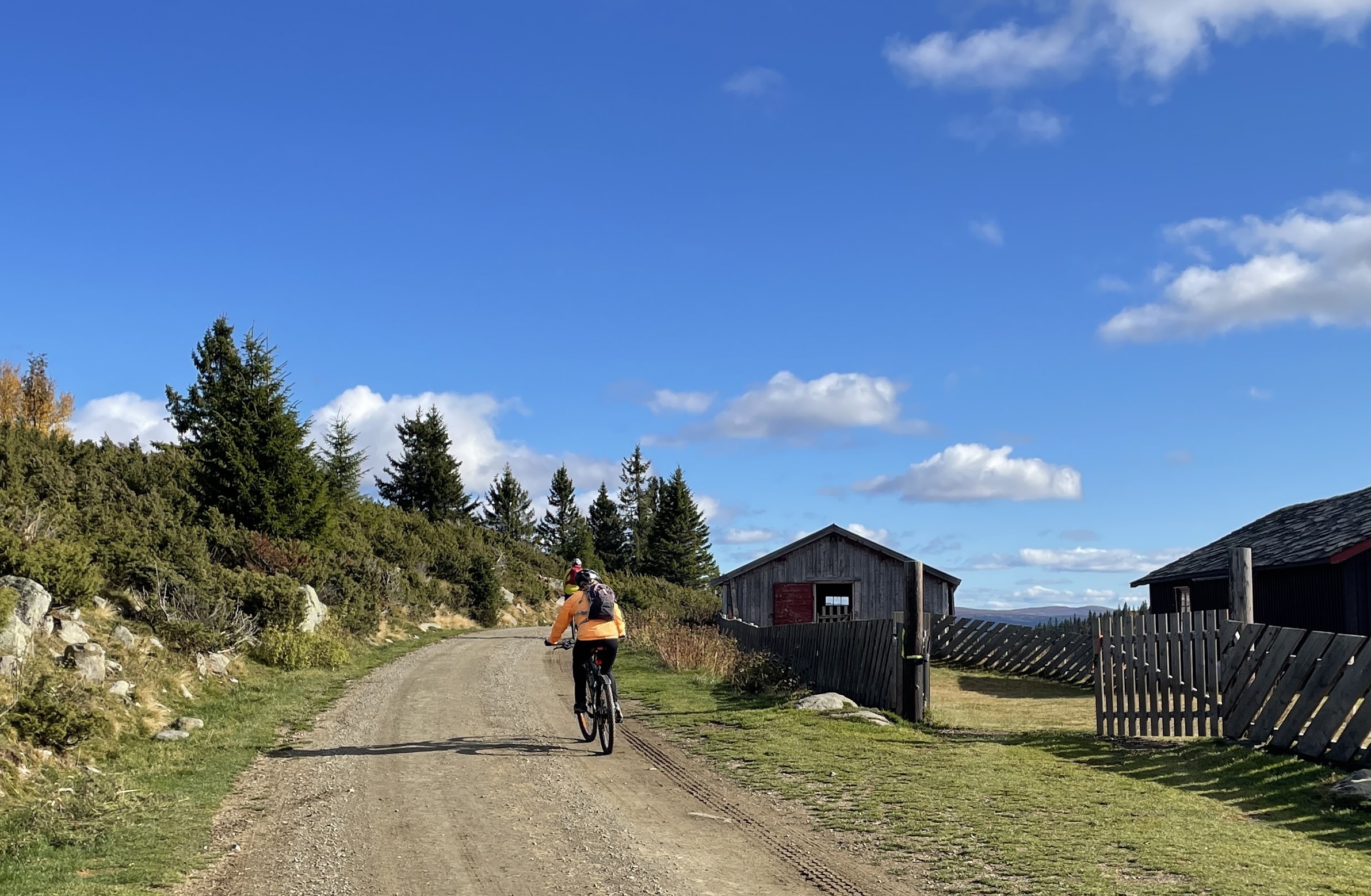
We recommend that you drive up Lie-Hornsjøvegen to the parking lot at Lisetra, almost 850 meters above sea level, to get a good starting point. After 7-800 meters, take the pleasant farm road towards Rognhaugen and on towards Gullbringen. From here, the terrain is hilly through several mountain farms with the beautiful Augseter as a highlight, with a beautiful view down towards the lake Augan. If you're lucky, you'll see both grazing animals and wild animals along the way. There are quite a few moose in the area and we encountered both char and grouse on our hike.

There is a restaurant at Hornsjø Høyfjellshotell, but check opening hours! Close by is also Hornsjø Seter, where you can experience summertime mountain farming. Check www.facebook.com/hornsjoenseter. From here you can follow Lie-Hornsjøvegen, but we have chosen parallel side roads on both sides of the main road all the way to Øvre Moksjøen. A little heavier and more challenging perhaps, but very pleasant.

From Øvre Moksjøen, follow Lie-Hornsjøvegen back to the parking lot. If you're not too tired after the hike, you might be tempted to cycle down one of the trails in Hafjell Bike Park.

In that case, green trails 7 and 16 and blue trails 5, 12 and 14 are exciting options. The way they are built makes them challenging for everyone based on their own skill and speed.

In general, the mountain tours from Nermo Hotel can be used as a framework for multiple experiences. They are mostly on gravel roads, but at the same time they pass through some of Norway's finest terrain for trail cycling. On our tours, you'll find everything from fantastic flow trails to more demanding trails for the experienced. Check the web or signs along the road marked with bikes in the colors green (easiest), blue, red or the most demanding black. HAVE A GOOD TRIP!

Support

How can I navigate the route?

This depends primarily on whether you have installed a GPS, navigate by App on your mobile phone or prefer paper printouts. Here we describe the most common workflows:

  • Download the GPX file for the route you want to your computer
  • Import the file to your route planning tool (e.g. Garmin's Basecamp or Tom Tom's MyDrive)
  • Export the route to your GPS in the usual way
  • Check that the route is calculated correctly in your GPS (It is recommended that the GPS is set to select the fastest route and any avoidance turned off for the route to be calculated as described).
  • Have a great trip!
  • Download the GPX file for the route you want to your mobile phone
  • Send/open the file in the App that belongs to your GPS model (e.g. Garmin's Drive or Tom Tom's MyDrive)
  • Send the route to your GPS (follow the instructions that come with your GPS and App)
  • Check that the route is calculated correctly in your GPS (It is recommended that the GPS is set to select the fastest route and any avoidance turned off for the route to be calculated as described).
  • Have a great trip!

Many of the routes on Hubriding use the app Ride with GPS app for route planning and navigation of the routes. You can download this as a free version or pay for extended use. Click on the Send to Device link on the map on this page, when the app has started and you see the current route, click Navigate and then just follow the route.

  • Click on the link in the map on the page and the map will open in a new window
  • Print the map, with or without description
  • Have a great trip!