Route 1

Tindevegen

Day trip on a mountain road through powerful nature among beautiful peaks in Jotunheimen, with many great viewpoints.

The route is defined as normal

Routes defined as normal are suitable for most people who have experience with somewhat demanding parties

Time
6:00 hours

Length
313 km

Popularity
7out of 10

Calculated automatically

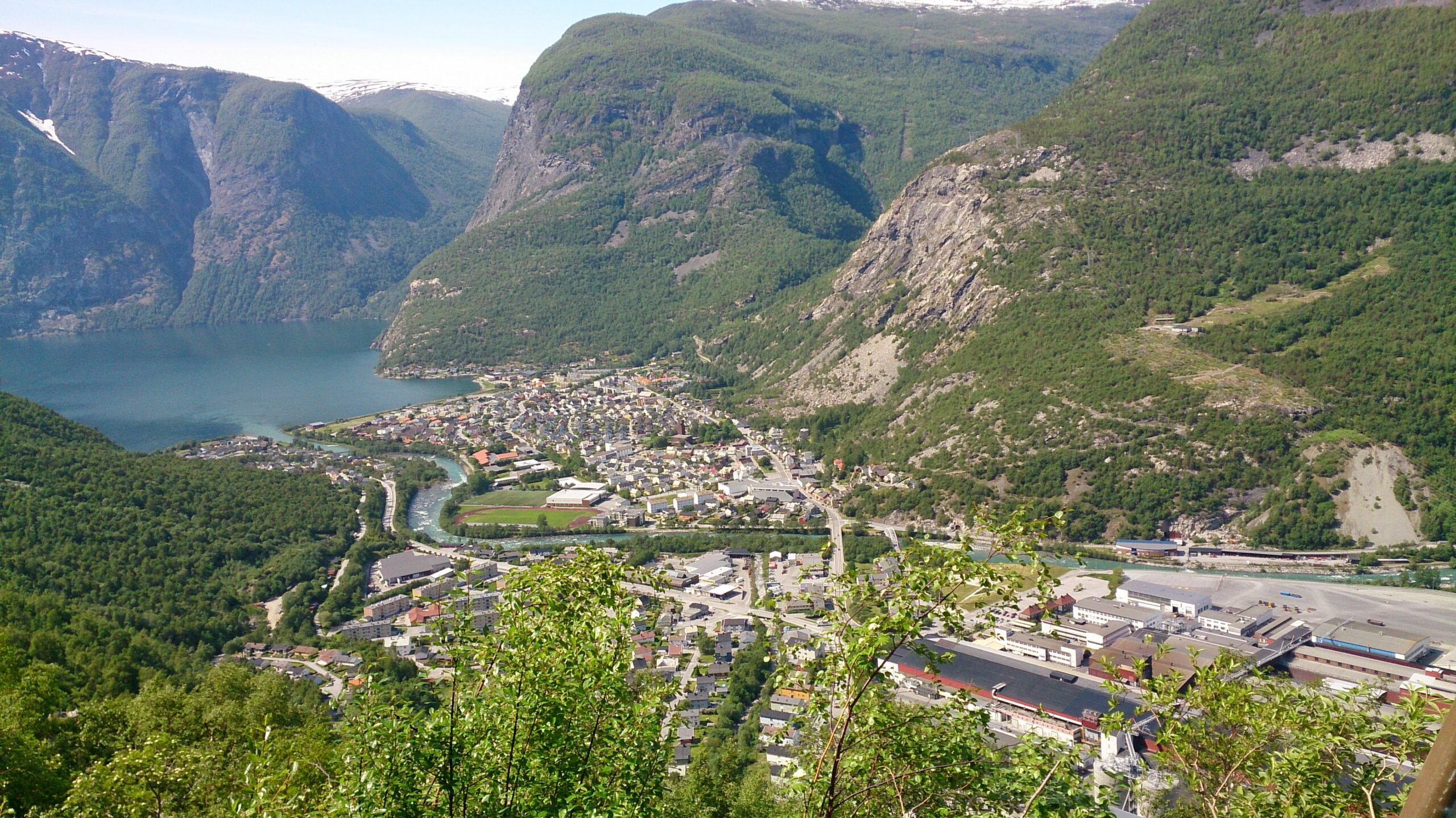
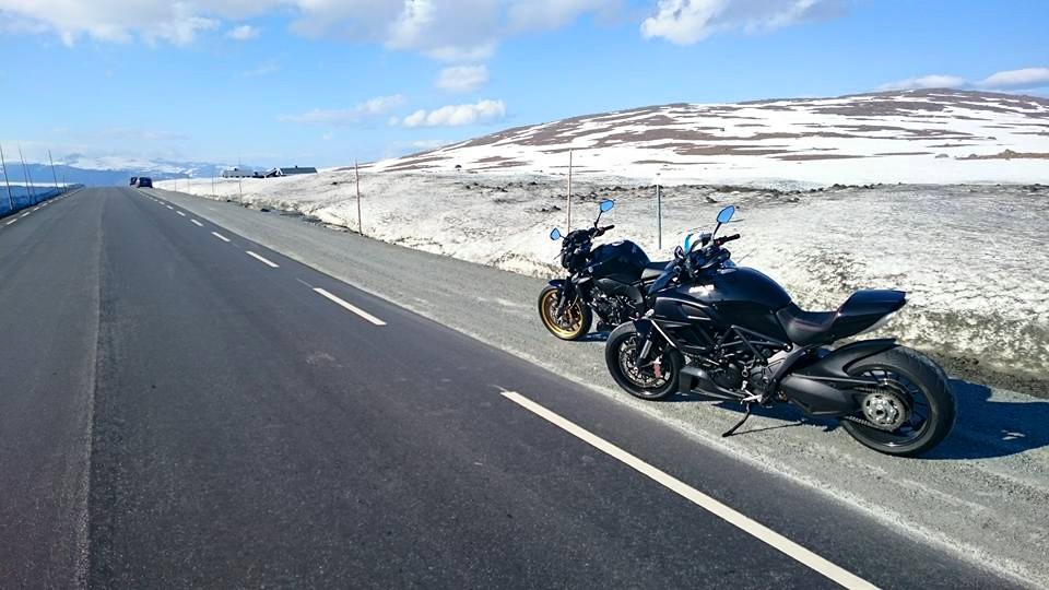
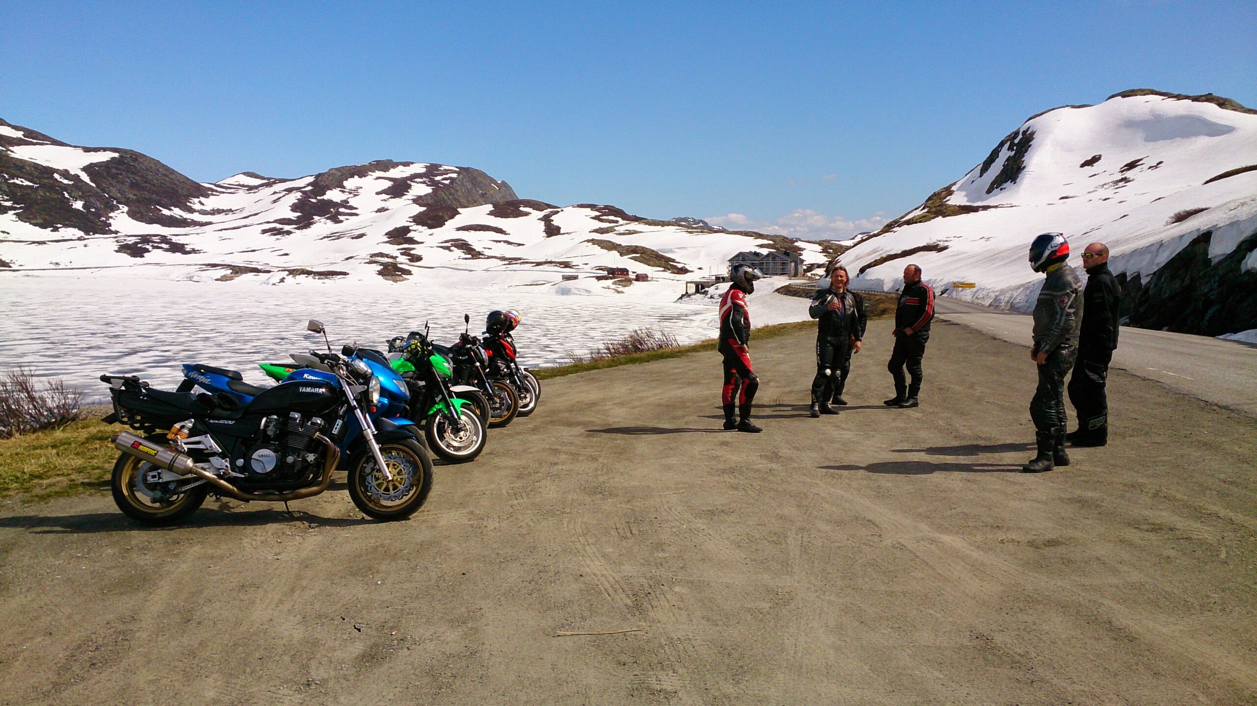
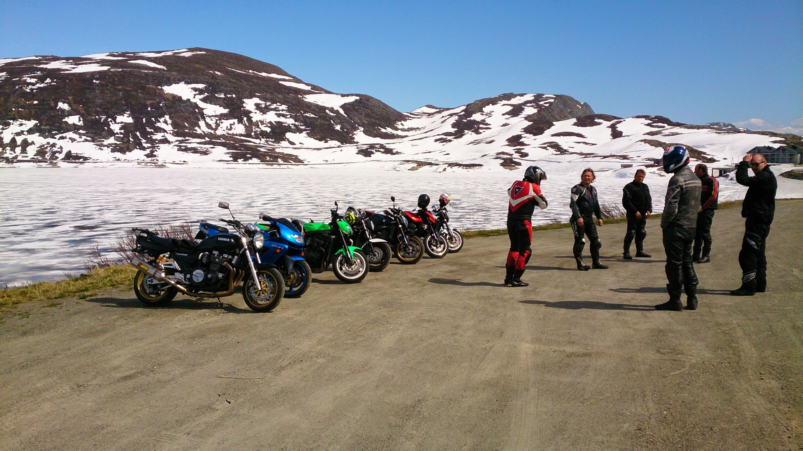
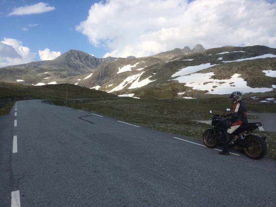
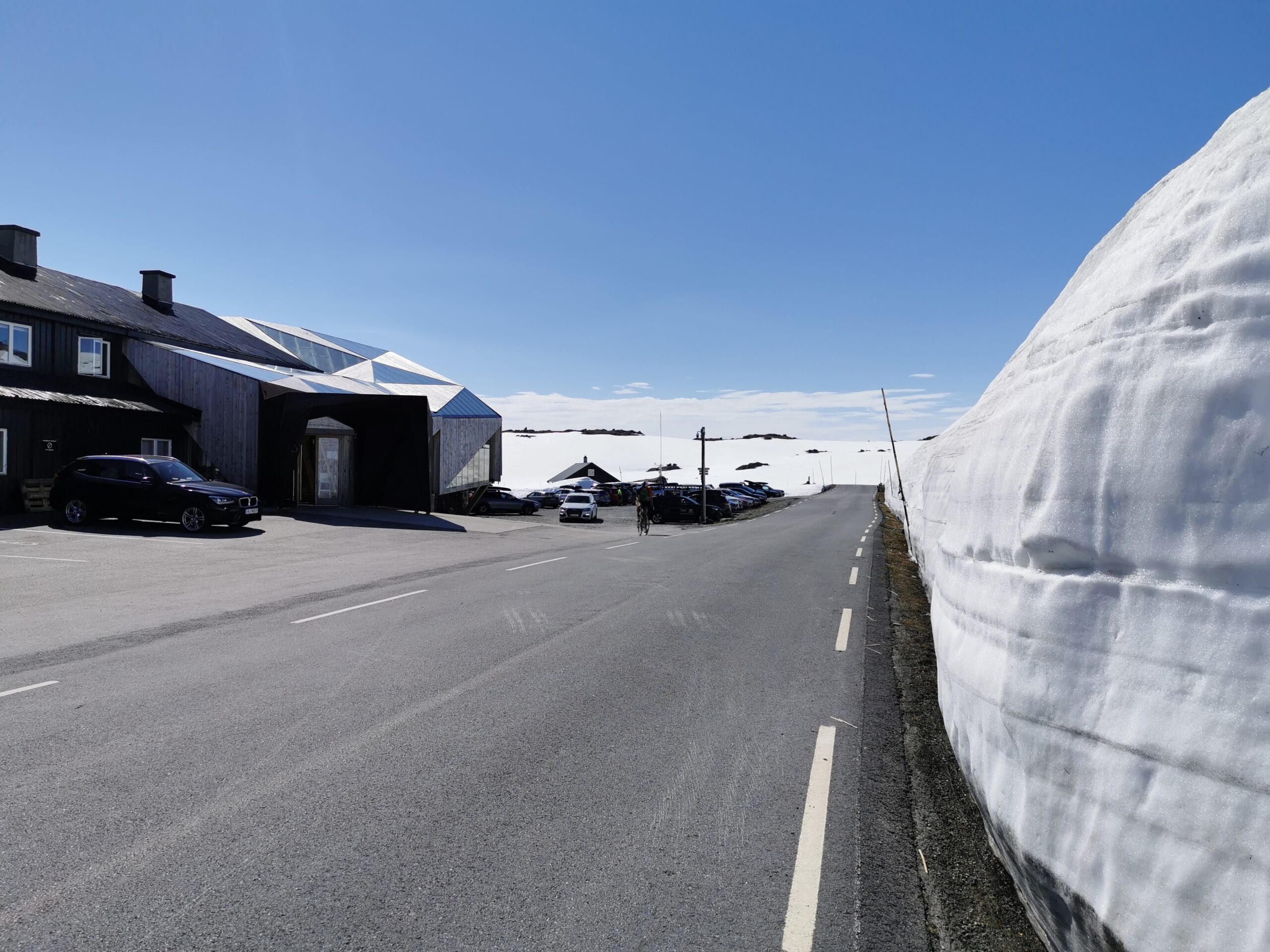
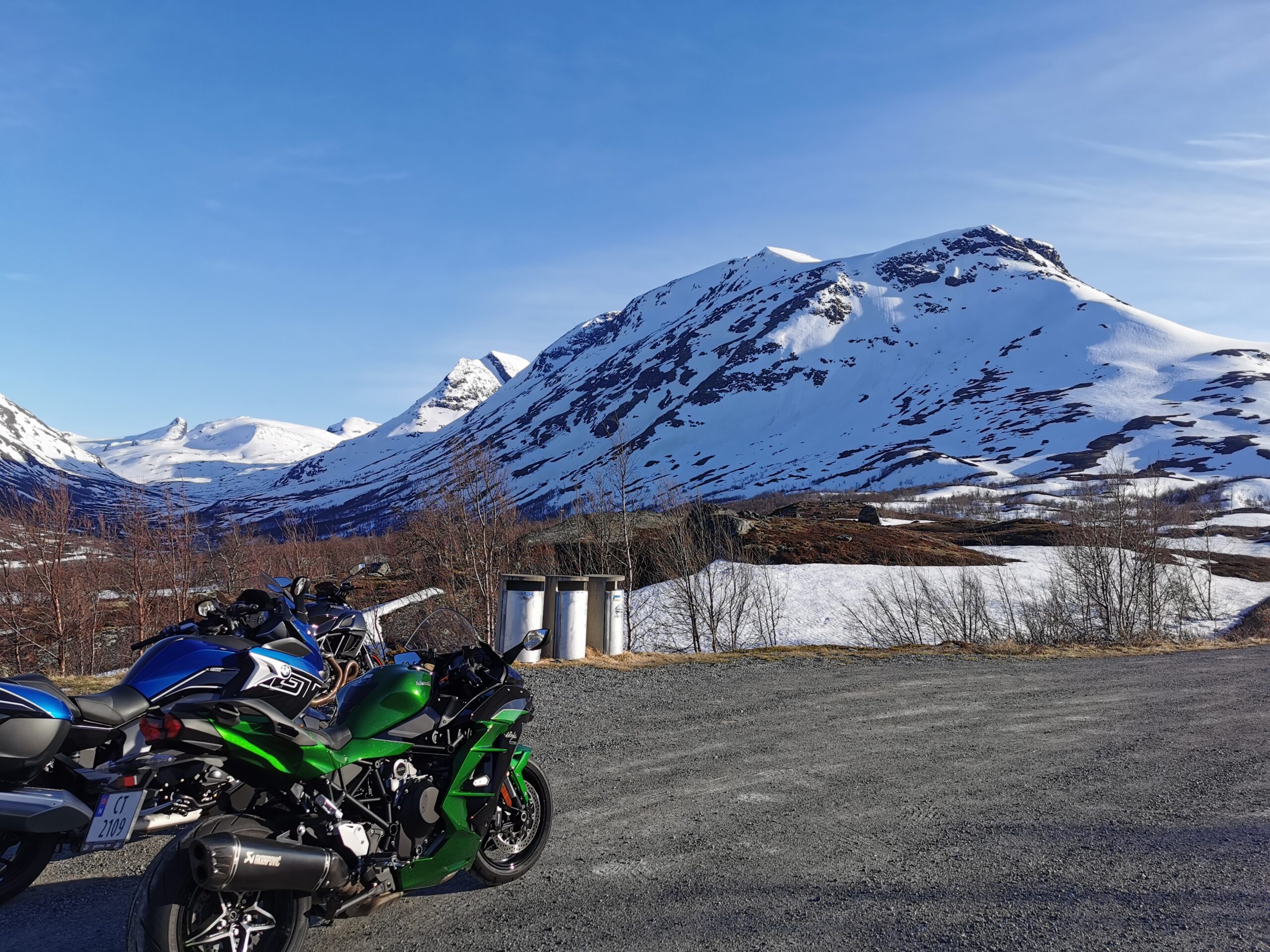
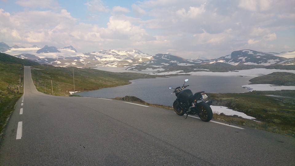
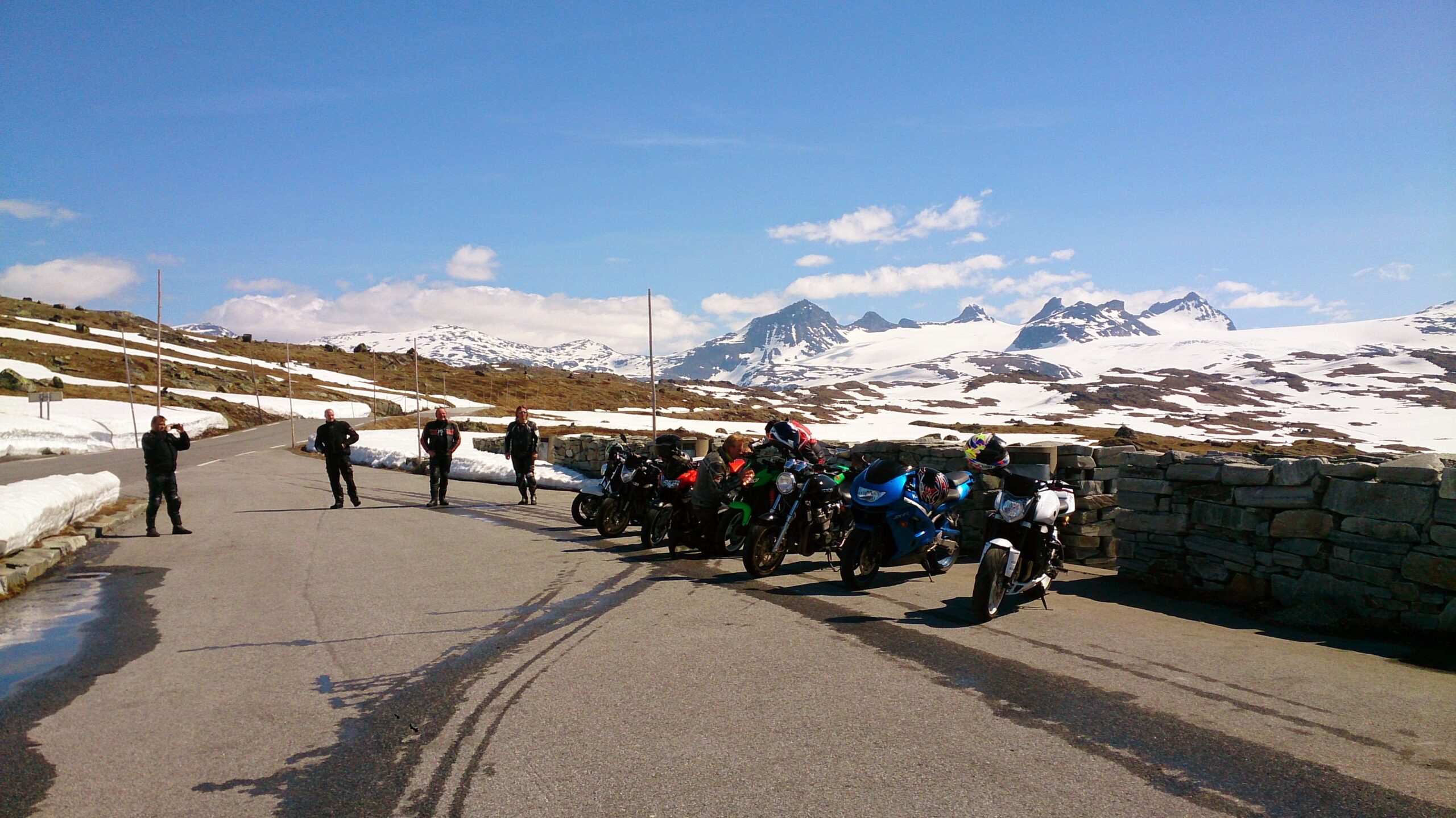
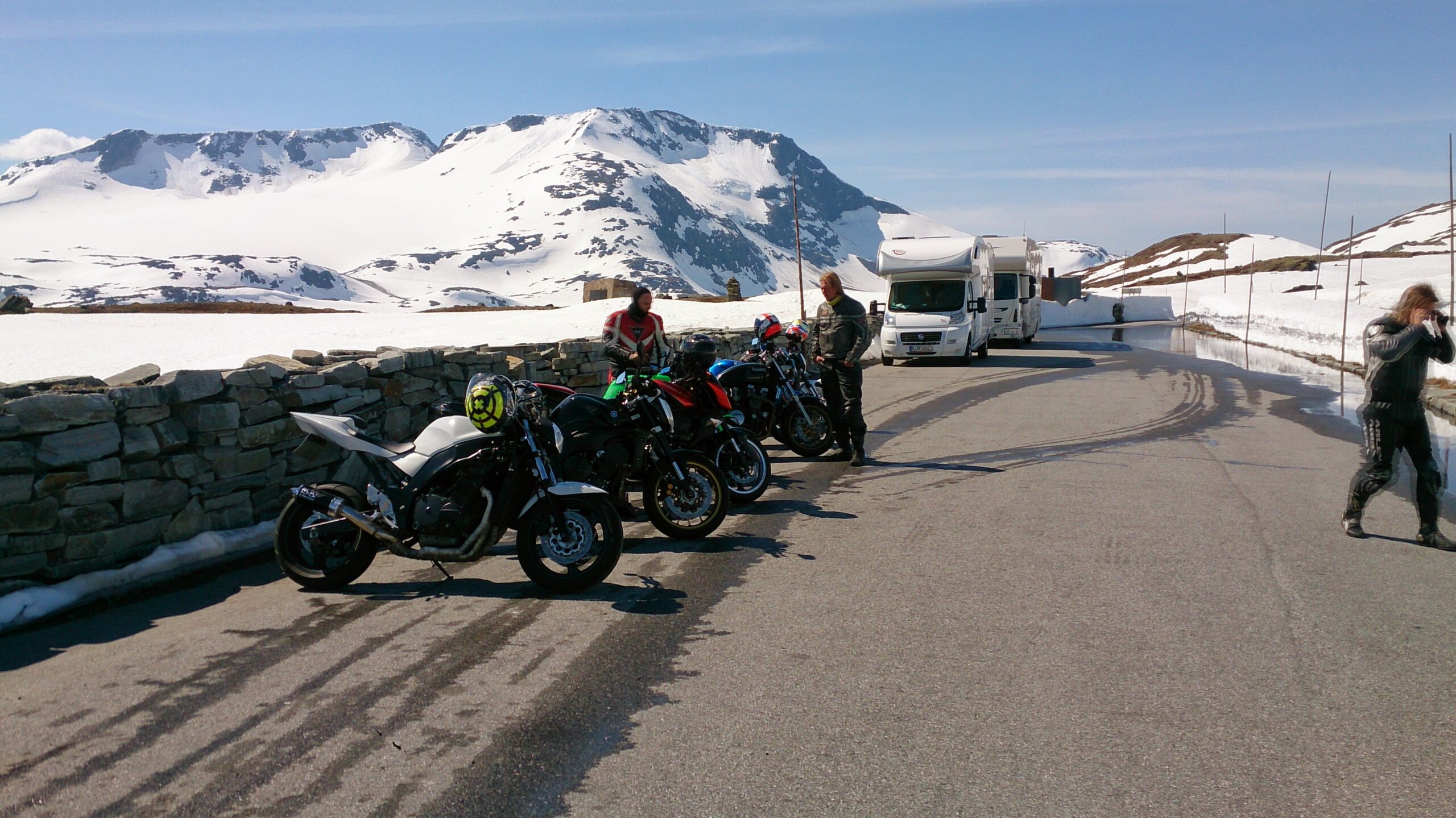
Sognefjellsveien (road 55) is one of Norway's national tourist routes. From the green meadows and lush cultural landscape of Lom, you can see the mighty mountains in the distance as you drive up the Bøverdalen valley. The road slowly rises to its summit at 1434 m above sea level, making it the highest mountain pass in Northern Europe.

When you reach Turtagrø, take Tindeveien to Øvre Årdal. Tindeveien is 32 km long and winds across the mountain, from the highest point at 1315 meters above sea level to the lowest point at 11 meters above sea level in Øvre Årdal. The last few kilometers you drive through narrow, fun and steep hairpin bends.

It's now 98 km since the start in Lom, and a break in Øvre Årdal might be a good idea.

From Øvre Årdal, the road continues upwards, through several hairpin bends and tunnels on a nice road to Tyin and Tyinkrysset. From Tyinkrysset, take the E16 along Vangsmjøsa to Ryfoss. Here it may be worth a stop at Mjøsvang cafe. When you reach Beitostølen, you have driven 104 km from Øvre Årdal, and it may be nice to make another stop. There are plenty of places to eat at Beitostølen.

From Beitostølen, the trip continues on the national tourist route over Valdresflye. Here you get the feeling of "floating" over the plateau with great views of several mountain peaks in Jotunheimen National Park. Much of the road is above the tree line, and at the highest point, 1389 meters above sea level, you'll find the DNT café Flye1389. It serves quality local food every day. A 2 km detour to Gjende, which is also part of the national tourist route, is worth a visit. Further on from here to Randsverk, there are several sights for those who want to stop to see or just drive by. In Randsverk, the road splits and you should follow rv. 51 which goes down to highway 15. 15, from where you drive straight back to Lom. You have now covered 310 km, crossed four mountain passes and hopefully had a great day on your bike.

Support

How can I navigate the route?

This depends primarily on whether you have installed a GPS, navigate by App on your mobile phone or prefer paper printouts. Here we describe the most common workflows:

  • Download the GPX file for the route you want to your computer
  • Import the file to your route planning tool (e.g. Garmin's Basecamp or Tom Tom's MyDrive)
  • Export the route to your GPS in the usual way
  • Check that the route is calculated correctly in your GPS (It is recommended that the GPS is set to select the fastest route and any avoidance turned off for the route to be calculated as described).
  • Have a great trip!
  • Download the GPX file for the route you want to your mobile phone
  • Send/open the file in the App that belongs to your GPS model (e.g. Garmin's Drive or Tom Tom's MyDrive)
  • Send the route to your GPS (follow the instructions that come with your GPS and App)
  • Check that the route is calculated correctly in your GPS (It is recommended that the GPS is set to select the fastest route and any avoidance turned off for the route to be calculated as described).
  • Have a great trip!

Many of the routes on Hubriding use the app Ride with GPS app for route planning and navigation of the routes. You can download this as a free version or pay for extended use. Click on the Send to Device link on the map on this page, when the app has started and you see the current route, click Navigate and then just follow the route.

  • Click on the link in the map on the page and the map will open in a new window
  • Print the map, with or without description
  • Have a great trip!