The route is defined as easy
Routes defined as easy are suitable for everyone regardless of experience.Length
153 km

Popularity
4.7 av 10
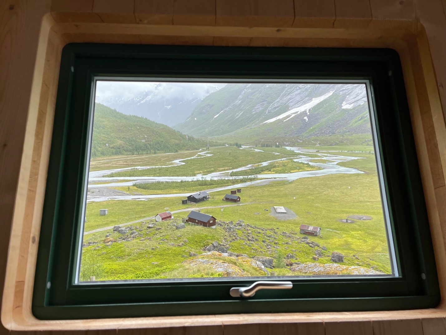
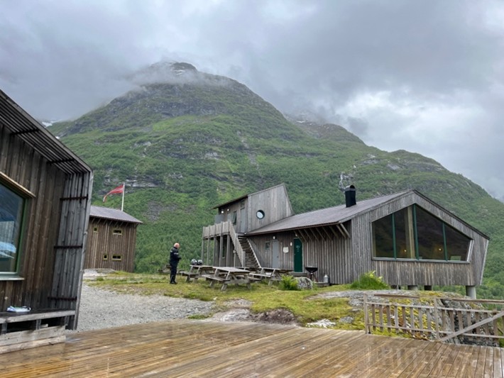
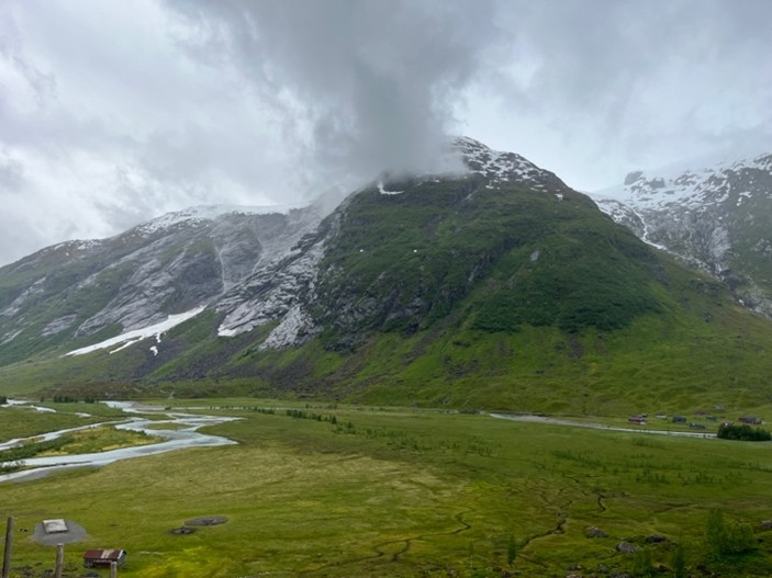
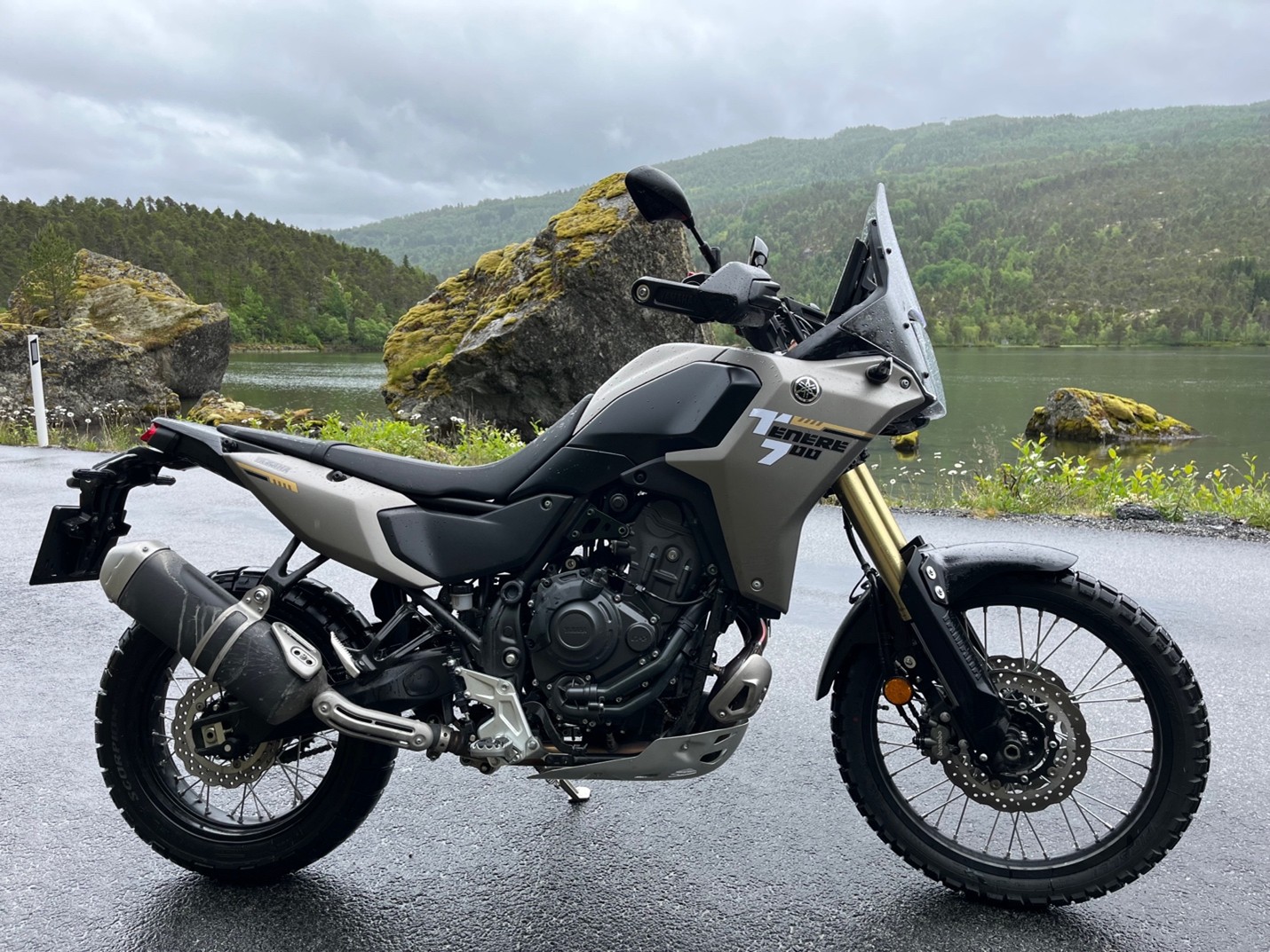
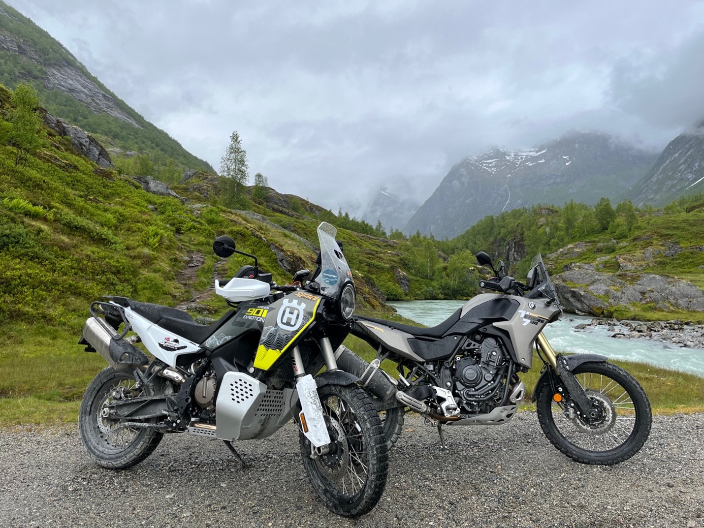
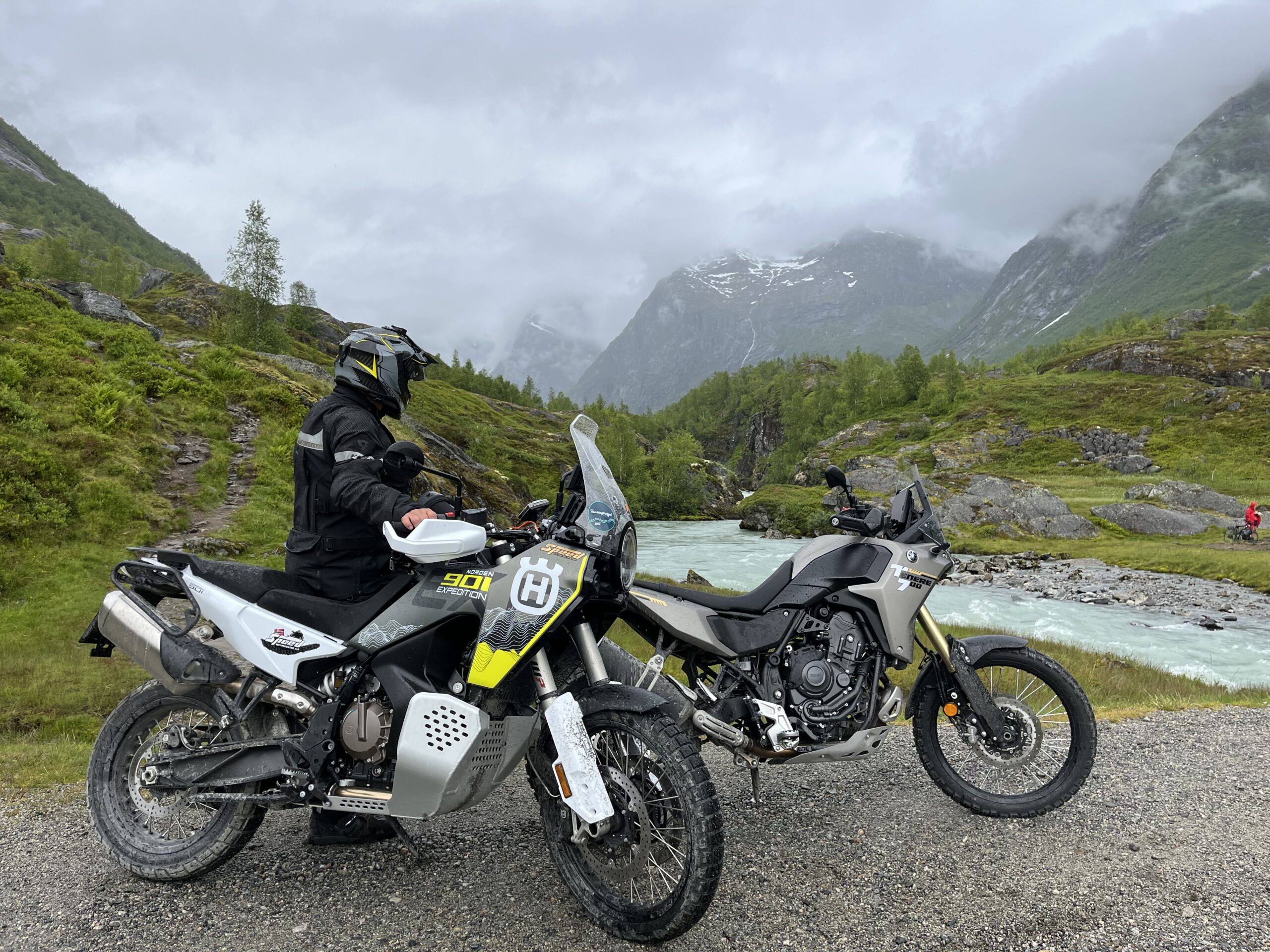
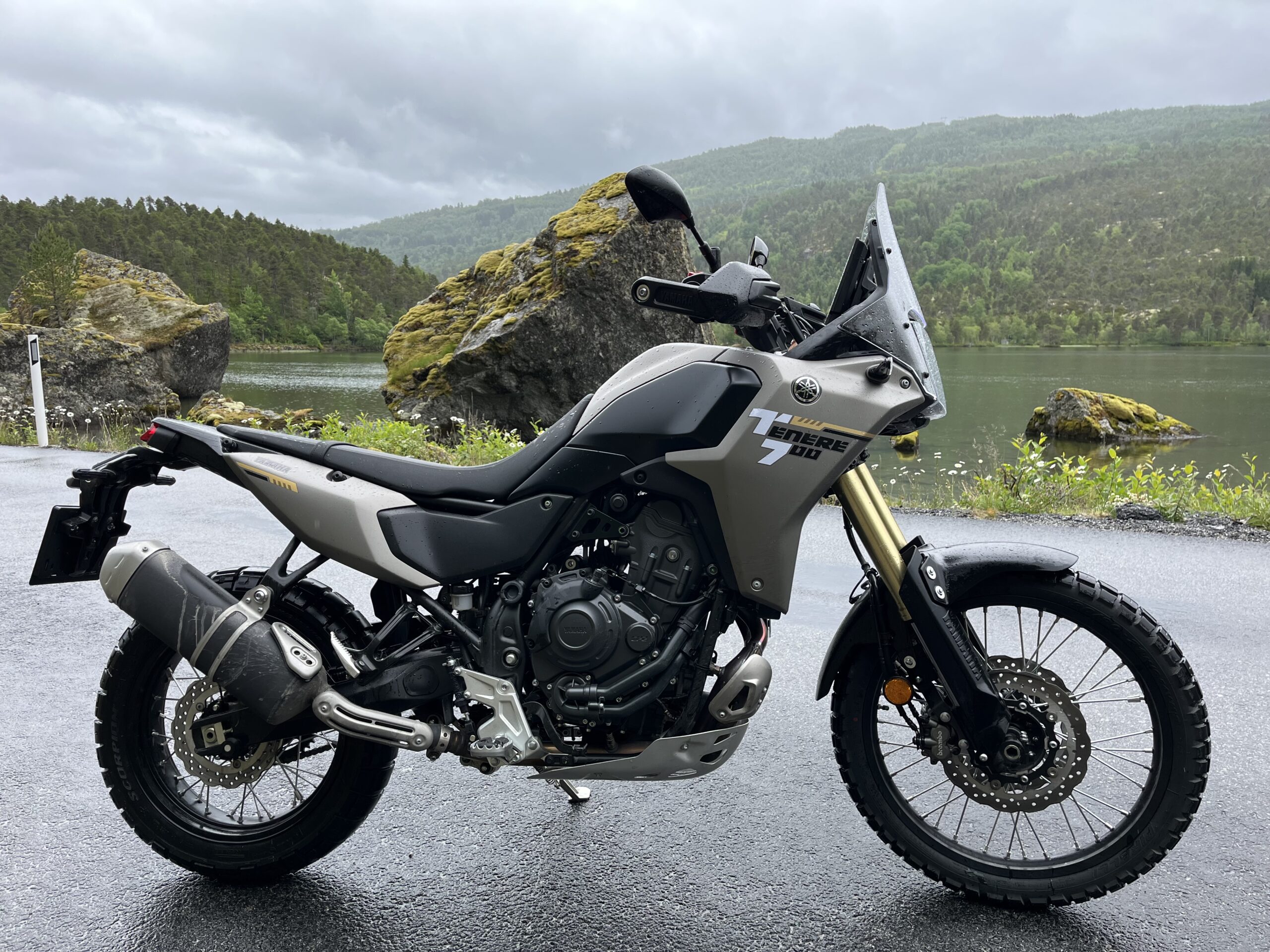
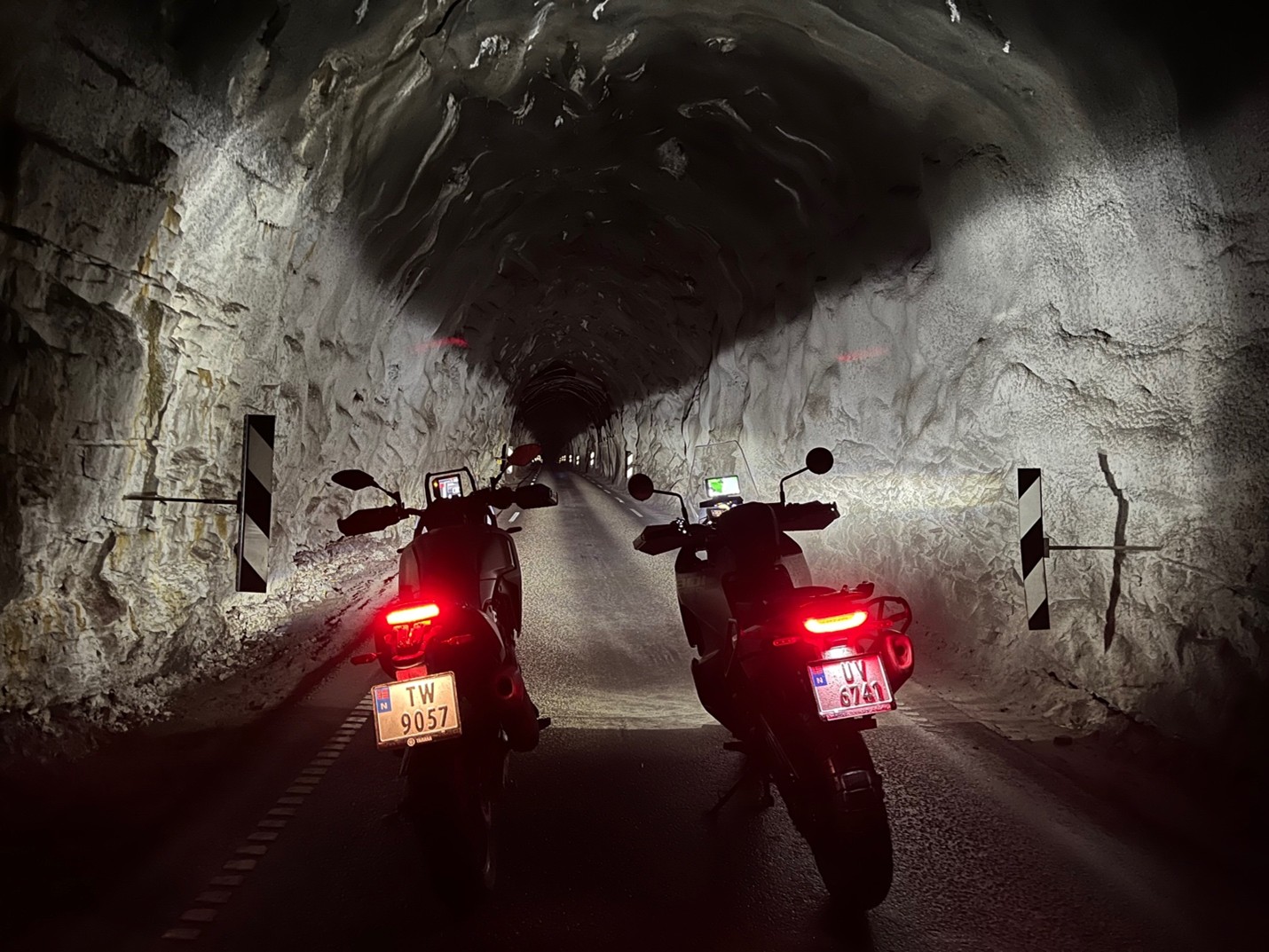
Route 7 and the trip in and out to Veitastrond is fantastic and offers in every way really great and not least great driving experiences.