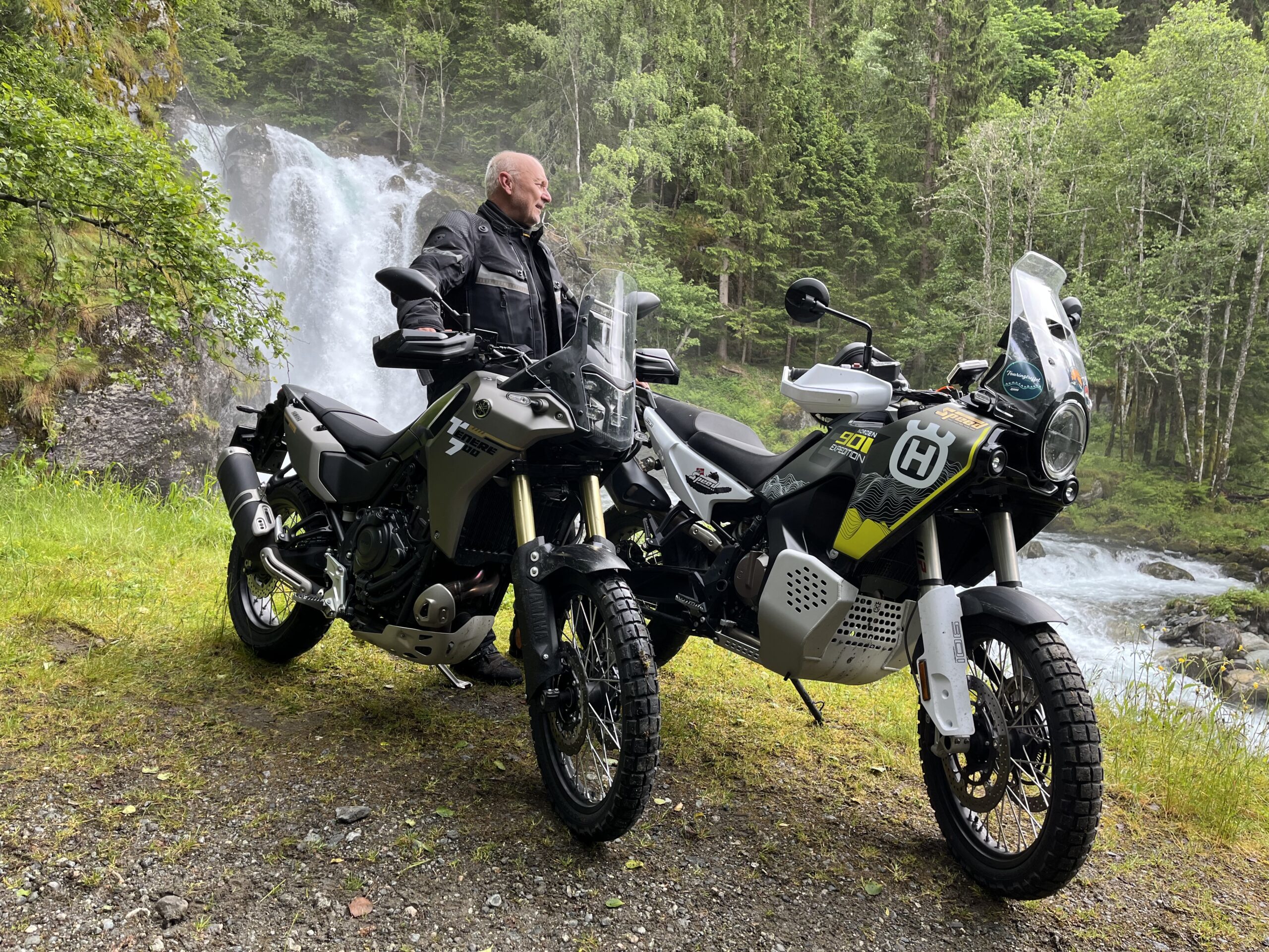
The route is defined as normal
Routes defined as normal are suitable for most people who have experience with somewhat demanding sections.Length
180 km
Popularity
7.5 av 10
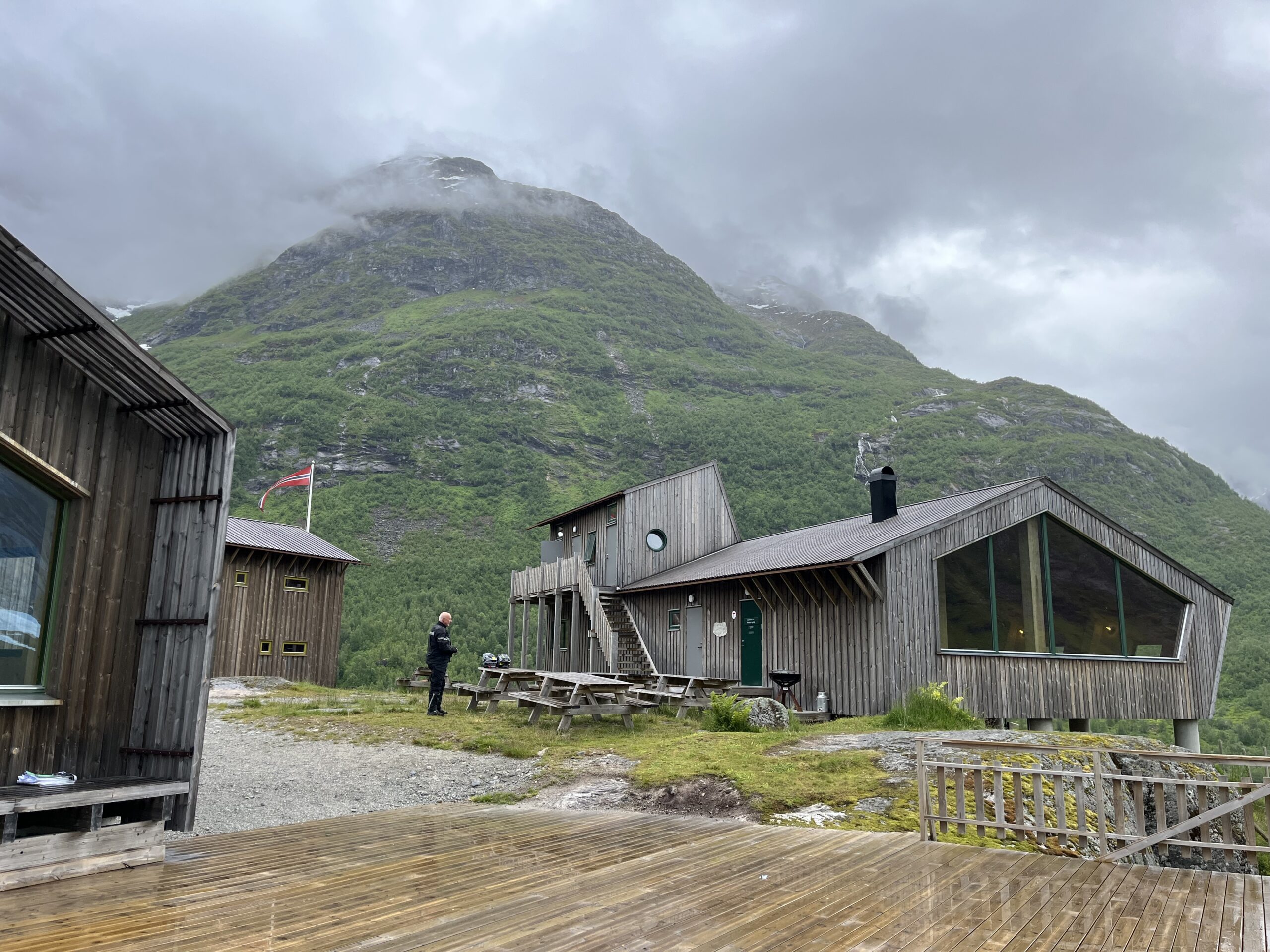
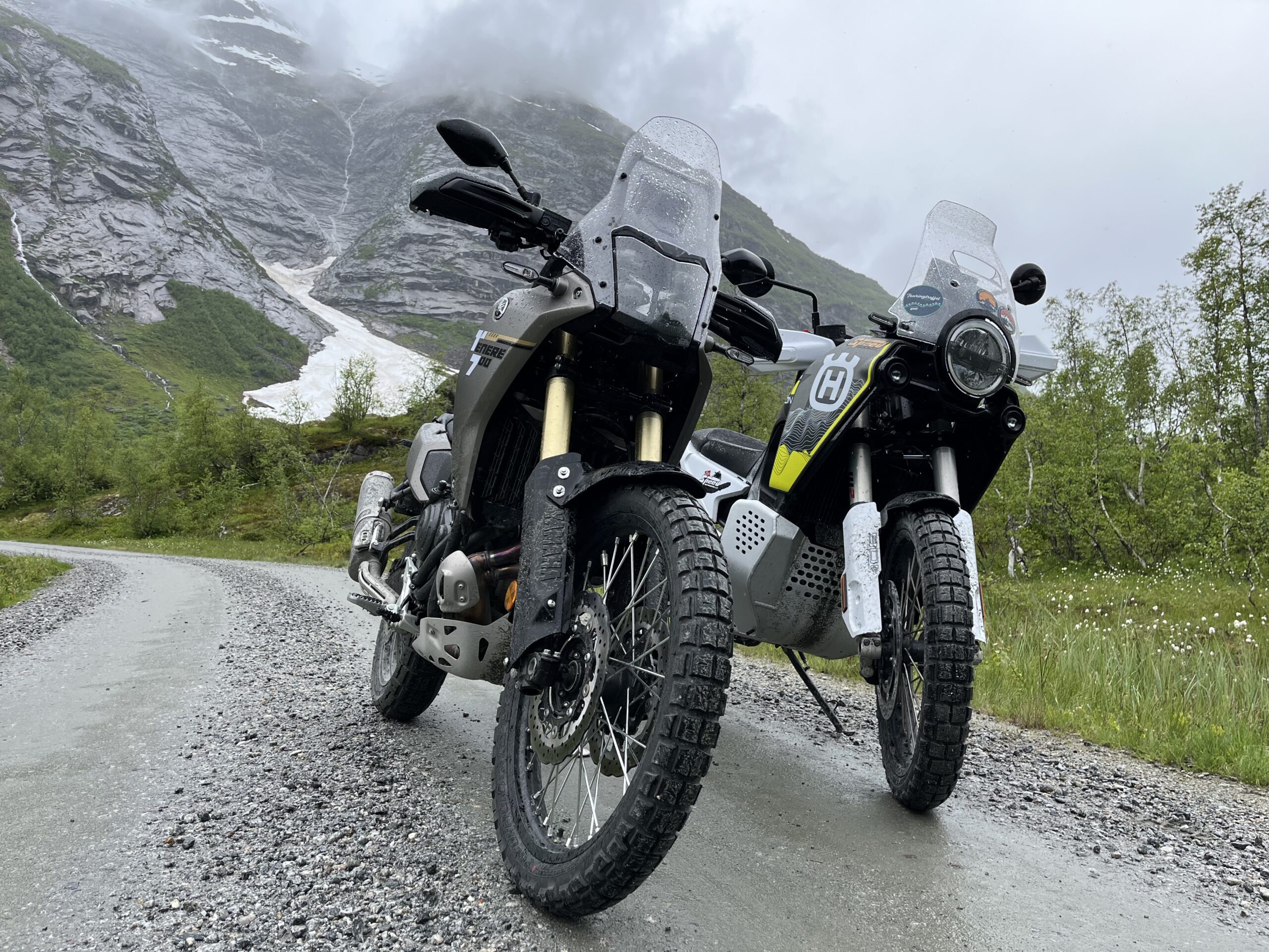
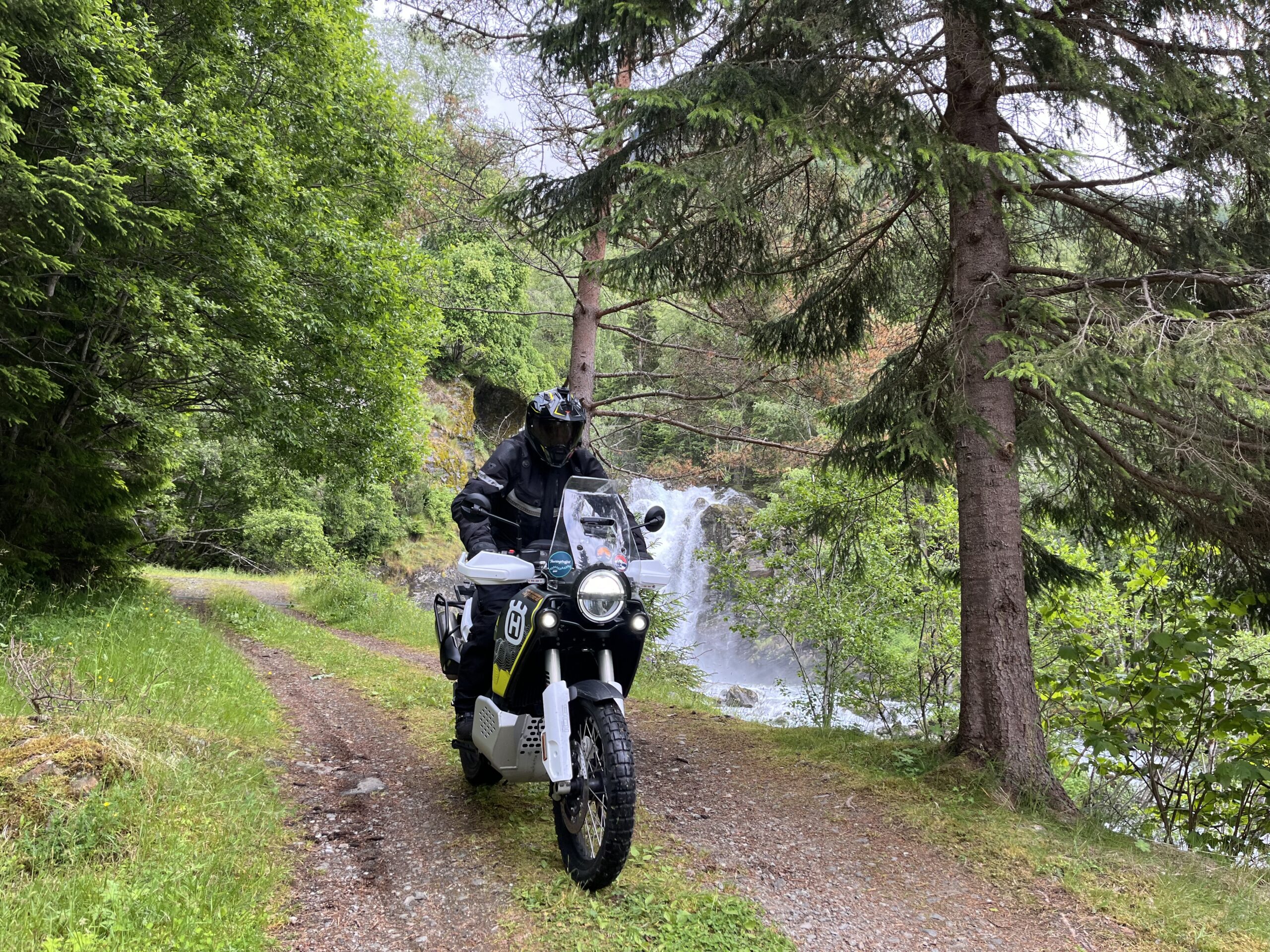
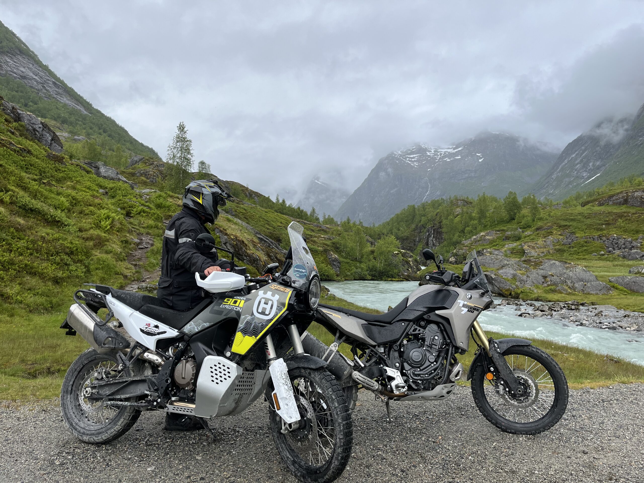
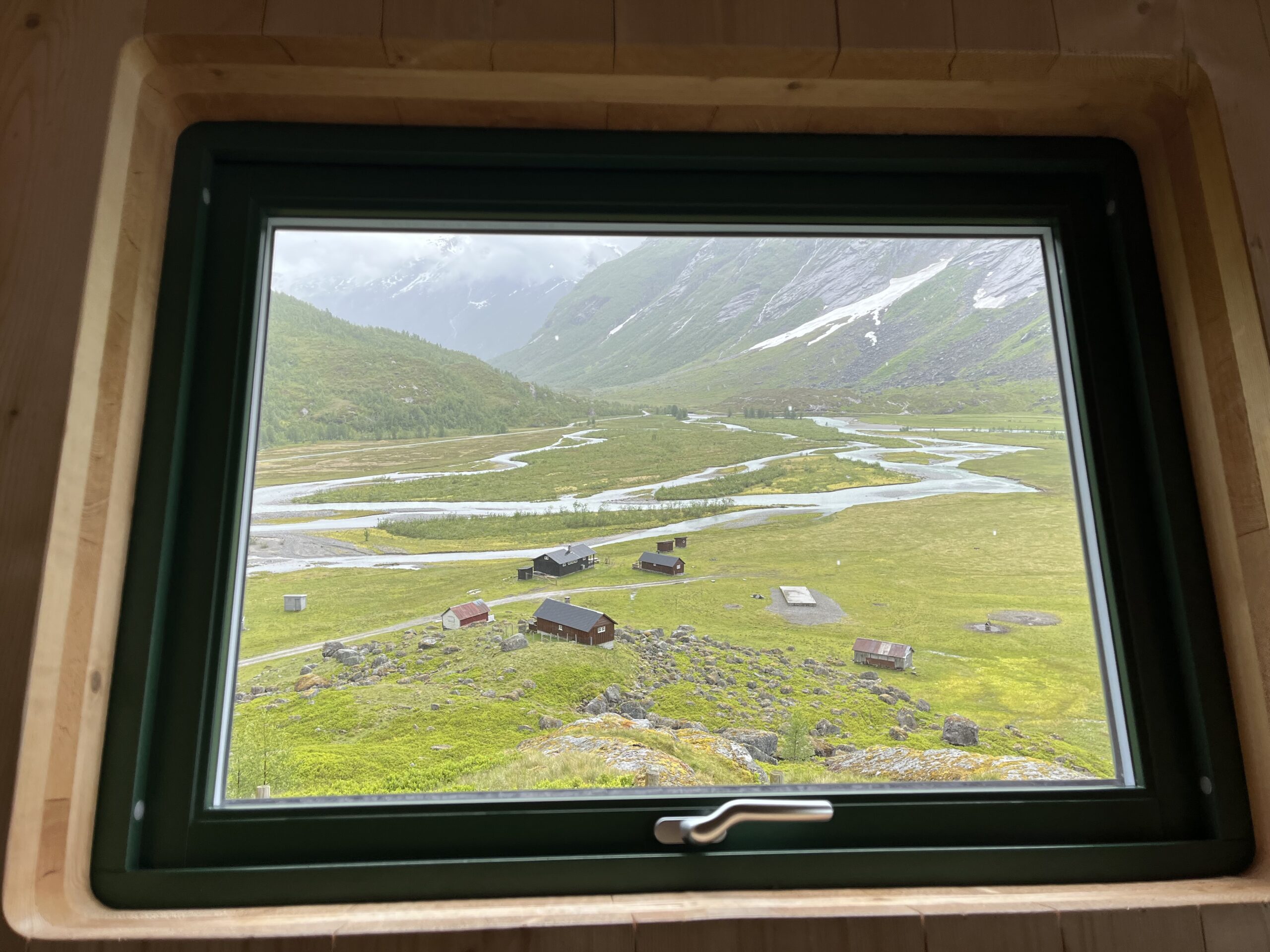
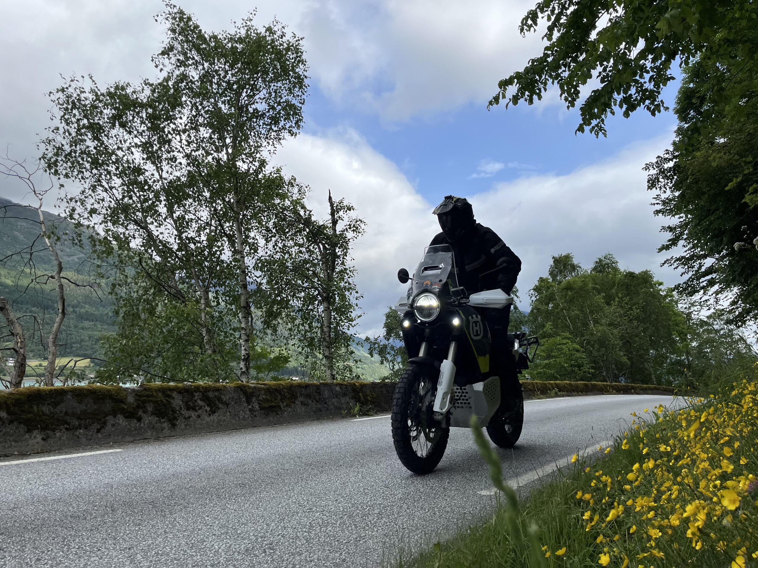
This route represents the very diversity and variation of the area around Skjolden.
This route represents every facet of the driving terrain and experiences available in this area. We start the trip on the south side road out of the Sognefjord in a wonderfully hilly terrain on narrow paved rural roads with mossy curbs and a colorful fauna on the way to Urnes stave church, which has Sognefjord’s most charming outdoor restaurant with excellent food and good home-baked cakes. On this side we drive as far as the road goes and at the very end we get acquainted with a fun climbing stage on gravel (Kinsedalen 3 km) straight to the mountains on gravel. This gravel section has a difficulty level of 7 and should probably not be driven by beginners.
The tour returns to Ornes ferry quay and takes us over to Solvorn aboard a small ferry where the vehicles must be reversed on board. The trip continues in large, fast-paced sweepers to Hafslo where we start the beautiful and fun road to Veitastrond. The last part to Tungestølen tourist cabin is on a fast gravel road and here you have to pay (SEK 70) for a toll pass on the way in, which we think is great when we are allowed to drive on the road. The old cabin was knocked down by a strong storm in 2011 and the new one was designed by award-winning architects Snøhetta. It’s definitely worth driving all the way to Tungestølen, which is open every day from May to September. Here, the architectural gem can be enjoyed inside or outside for three daily meals or just coffee.
This route has so many great adventure components and is so much fun to drive that it simply has to be prioritized. This is a fantastic experience and you should expect to spend most of the day on it.
Support
This primarily depends on whether you have a GPS installed, navigate by App on your mobile phone or prefer paper printing. Here we describe the most common workflows:
Many of the routes on Hubriding use the app Ride with GPS app for route planning and navigation of the routes. You can download a free version or pay for extended use. Click on the Send to Device link on the map on this page, when the app has started and you see the current route, press Navigate and then just follow the route.
Hubriding means that, based at one of De Historiske hotels, you can choose from a number of defined driving routes in the area surrounding the hotel. The routes we offer go through some of Norway’s very best terrain and include tens of thousands of bends, spectacular mountain passes, asphalt, gravel, wonderful nature experiences and the opportunity to eat well at local establishments. We’ve included sights and eateries for you to visit in the routes. You will be able to choose from a number of routes and route combinations that make it possible to choose daily stages of varying length and difficulty. The concept has been developed by Straand Hotel in Vrådal together with Norway’s leading motorcycle enthusiasts.