Fancy 20,000 bends and 3,455 vertical meters over 323 km in one day?
In fact, you can experience this on the Gaular round, which runs from Skjolden to Sogndal, on to Hella/Dragsvik, then over Gaularfjell and Likholefossen, down Viksdalen to Skei and Sogndal before taking the charm stage on very winding roads back to Skjolden. By then you’ll have done more than your fair share of winding for the day, and you’ve probably had your fill – we think.
The route is defined as easy
Routes defined as easy are suitable for everyone regardless of experience.
Length 323 km
Popularity 4.7 av 10
Assessed by the number of clicks on this page in the last two weeks compared to all Hubriding routes.
This route is quite long at 323 km and requires you to have some experience of sitting in your seat for long periods and taking breaks to rest. If it rains, the trip can be quite tough, so it’s even more important to take breaks, partly to enjoy the nature and views that are abundant on this trip. There are no restaurants between the ferry quay at Hella and Dragsvik to Vassenden, so you may want to bring some food and drink. When you drive this far, fatigue creeps in and the risk of making bad decisions increases. That’s why it’s important to take breaks and get some nutrition.
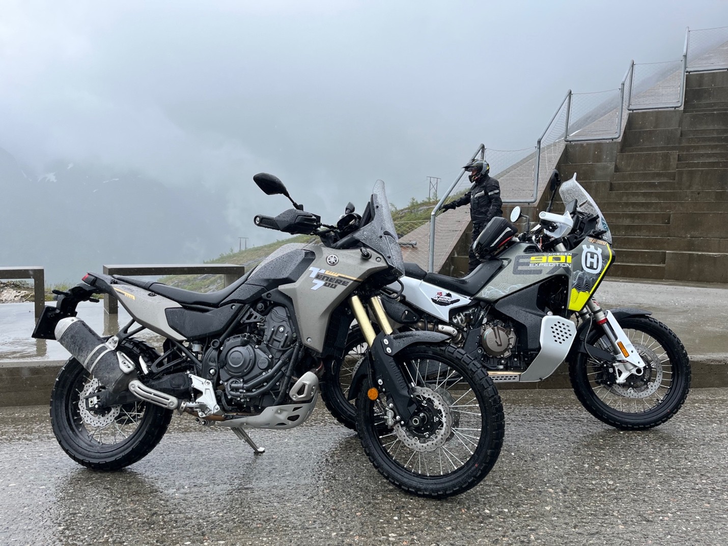
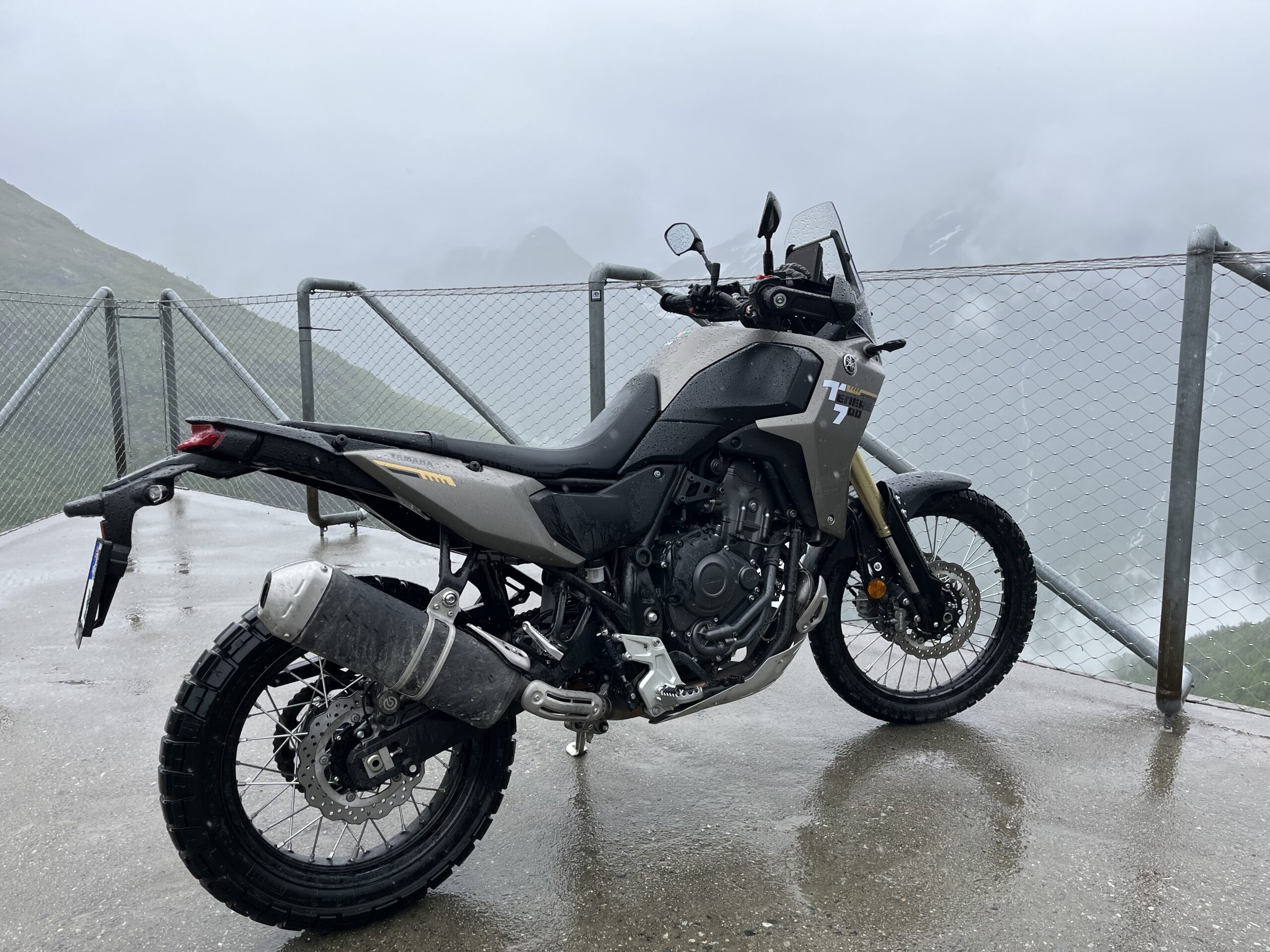
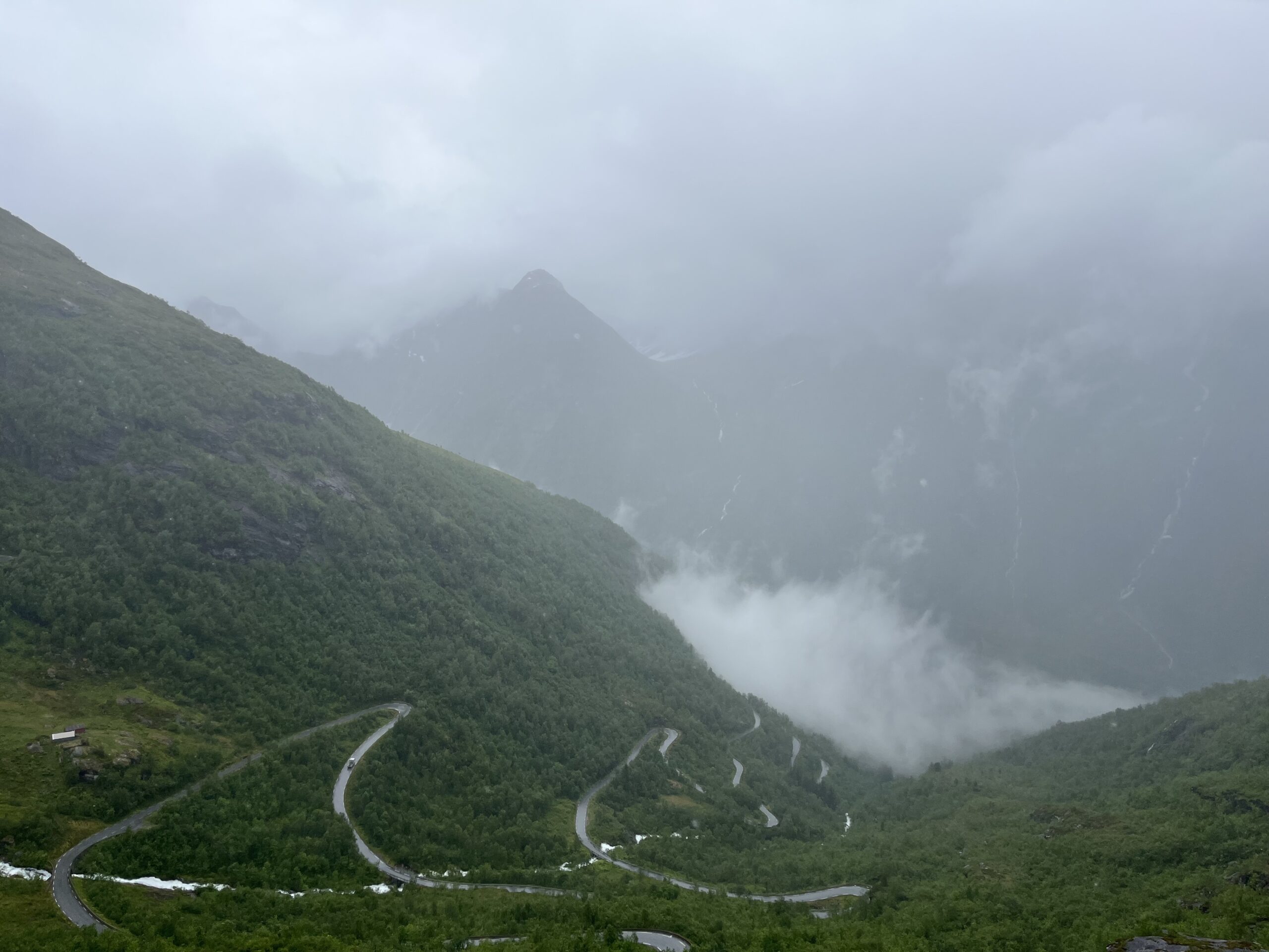
This is a fantastic trip that contains everything a motorcyclist could wish for. Short tight turns, lots of terrain, passes and passages, you actually drive as much as 3455 meters of altitude during the day, large sweepers with good speed and good flow. Here you have everything and all combinations spread over about 20,000 turns, so the HUB riding concept’s turn guarantee applies to the highest degree.
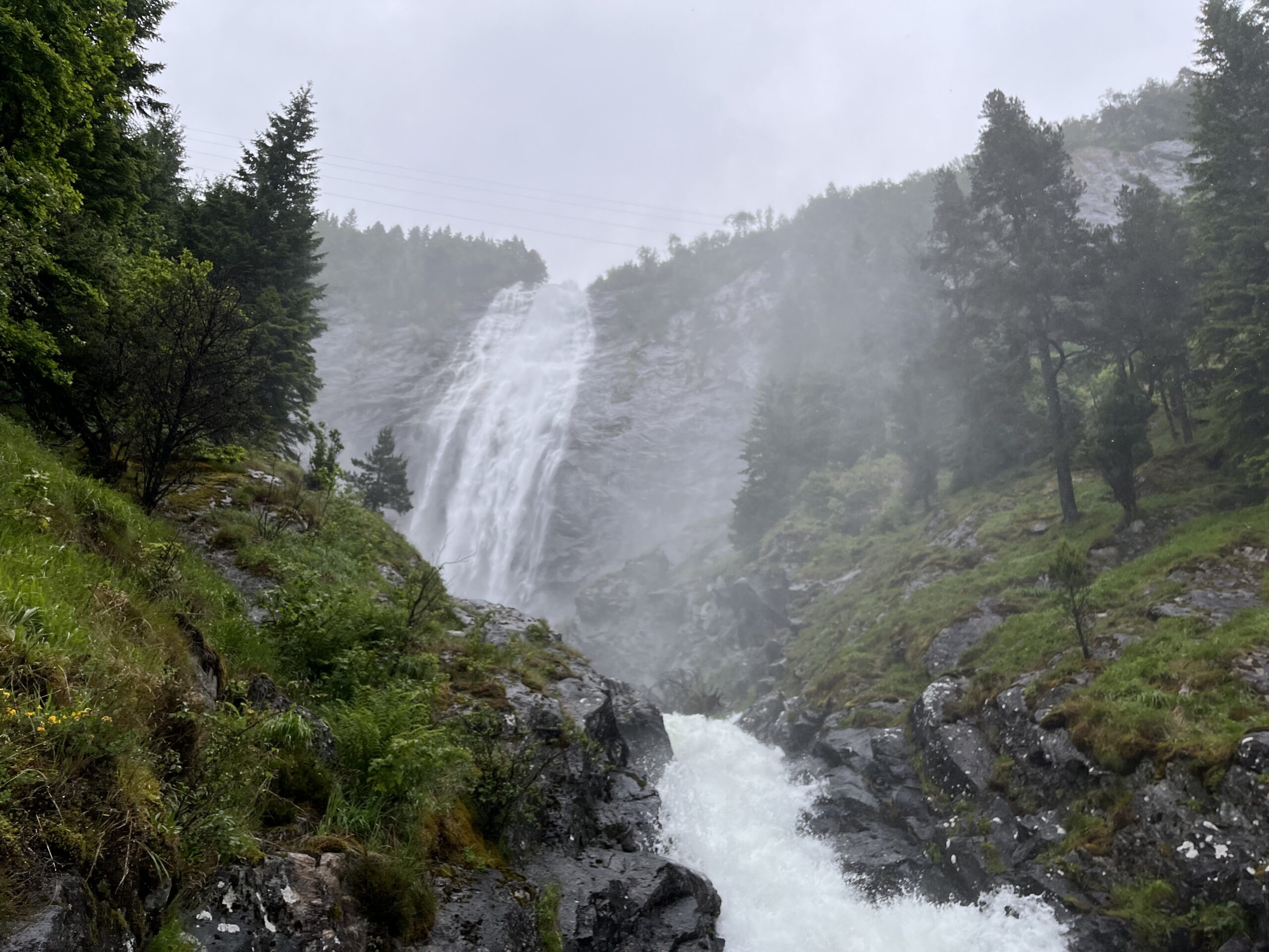
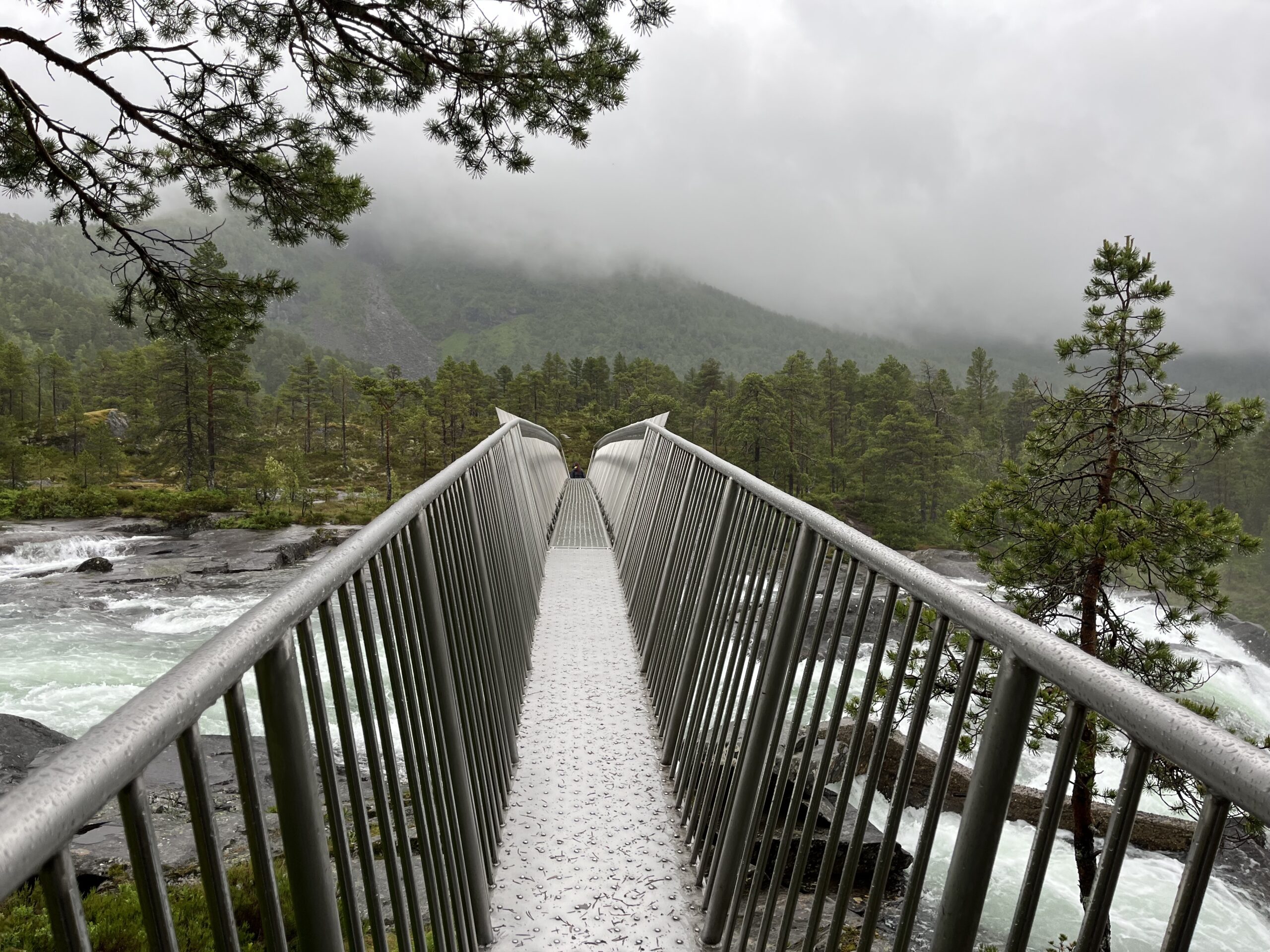
There are many sights on this trip and one of them is Likholefossen, which in the old days was used to store dead people who could not be transported down to the village for burial in winter. Of course, the highest point on Gaularfjell is also something to behold and is therefore on many people’s bucket list for good reason.
Notes: You can drive on both sides of Jølstravatne, and if you want to drive on the south side, turn right at Vassenden and follow Nikolai Astup’s road to Kjørsnes and RV 5 where you then continue towards Sogndal. We recommend that you start the trip early in the morning as you should expect that the trip, depending on the length of the breaks, can take plus or minus 8 hours.
This is actually one of Norway’s finest day trips where you get pretty much everything and is highly recommended.
Support
How can I navigate the route?
This primarily depends on whether you have a GPS installed, navigate by App on your mobile phone or prefer paper printing. Here we describe the most common workflows:
Download the GPX file for the route of your choice to your computer
Import the file to your route planning tool (e.g. Garmin’s Basecamp or Tom Tom’s MyDrive)
Export the route to your GPS in the usual way
Check that the route is calculated correctly in your GPS (It is recommended that the GPS is set to select the fastest route and any avoidance is turned off for the route to be calculated as described).
Download the GPX file for the route of your choice to your mobile phone
Send/open the file in the app that belongs to your GPS model (e.g. Garmin’s Drive or Tom Tom’s MyDrive)
Send the route to your GPS (follow instructions that come with your GPS and App)
Check that the route is calculated correctly in your GPS (It is recommended that the GPS is set to select the fastest route and any avoidance is turned off for the route to be calculated as described).
Many of the routes on Hubriding use the app Ride with GPS app for route planning and navigation of the routes. You can download a free version or pay for extended use. Click on the Send to Device link on the map on this page, when the app has started and you see the current route, press Navigate and then just follow the route.