The trip to Styggedalsvatnet includes three exciting detours that, among other things, tell dramatic stories about life at the famous sanatorium Harastølen in Luster, which was established in 1902 as a treatment center for tuberculosis patients, later a psychiatric hospital and then an asylum until 1990. From a driving point of view, the tour offers equally great experiences, with a slightly exciting gravel road up to Harastølen, big, fast sweepers up Jostedalen, which later turns into festive and narrower village roads with fun bends up to Styggedalsvatnet itself. This trip also includes a fun detour up to the Tunbergsdalsdammen dam, which is 478 meters above sea level and holds 178 million m3 of water. This detour is only 4-5 km long, but it’s still auforic and fun.
The route is defined as normal
Routes defined as normal are suitable for most people who have experience with somewhat demanding sections.
Length 175 km
Popularity 4.7 av 10
Assessed by the number of clicks on this page in the last two weeks compared to all Hubriding routes.
Driving diversity and great historical experiences.
Driving diversity and great historical experiences
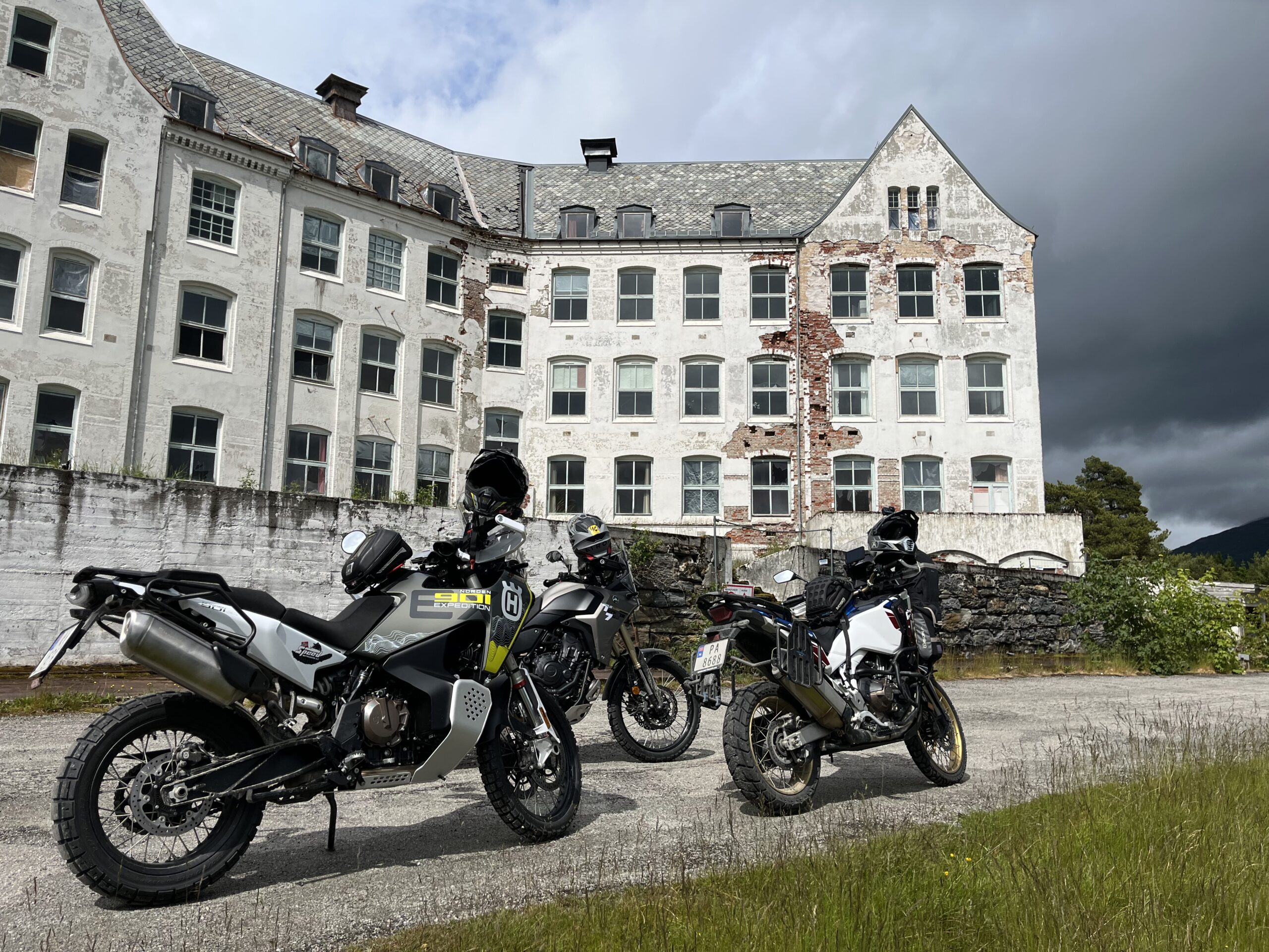
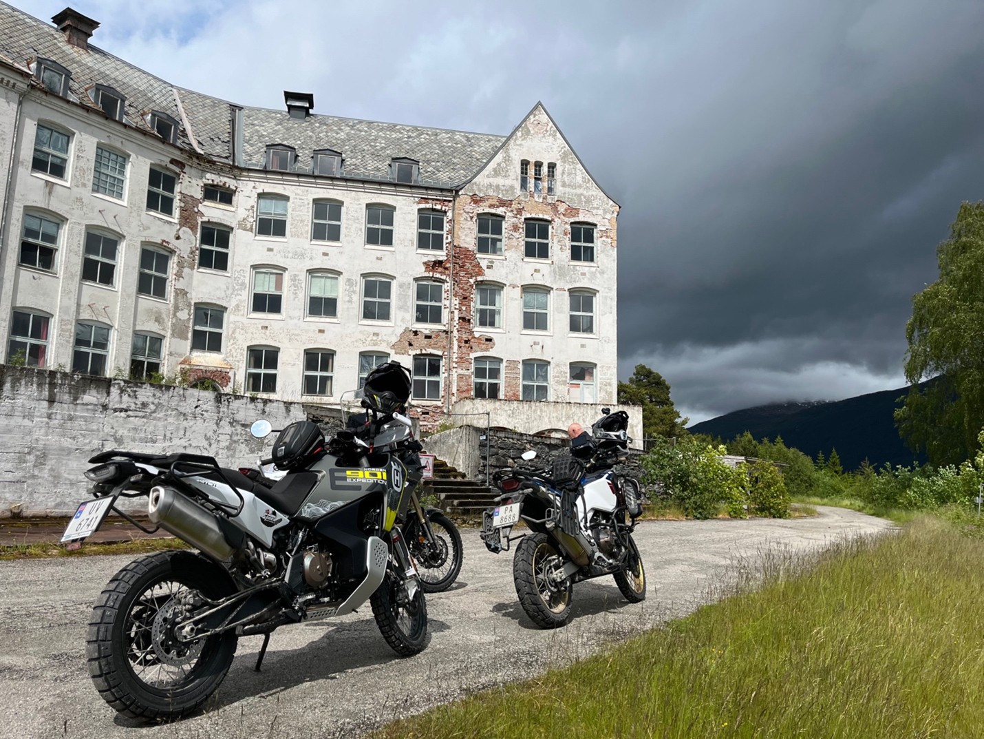
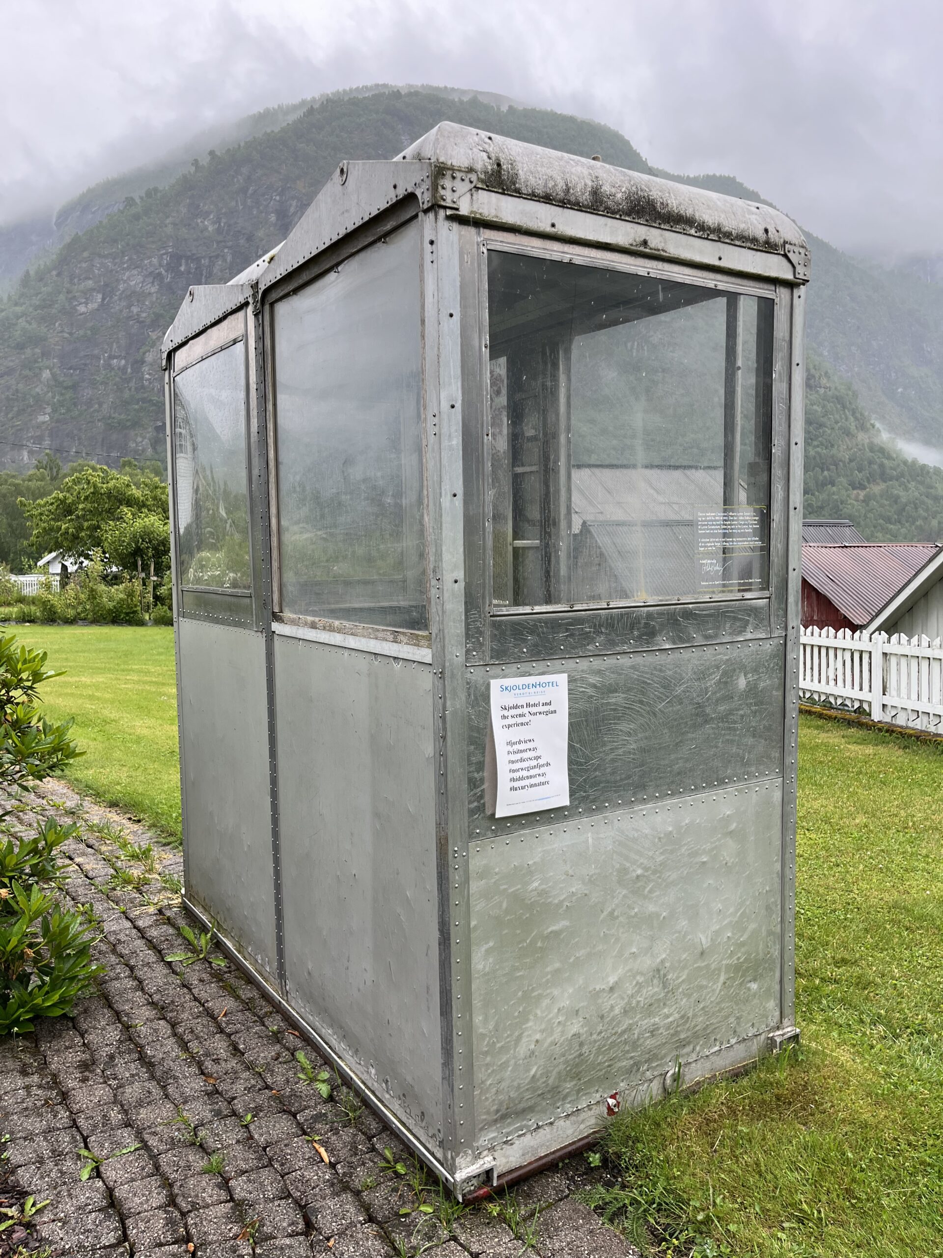
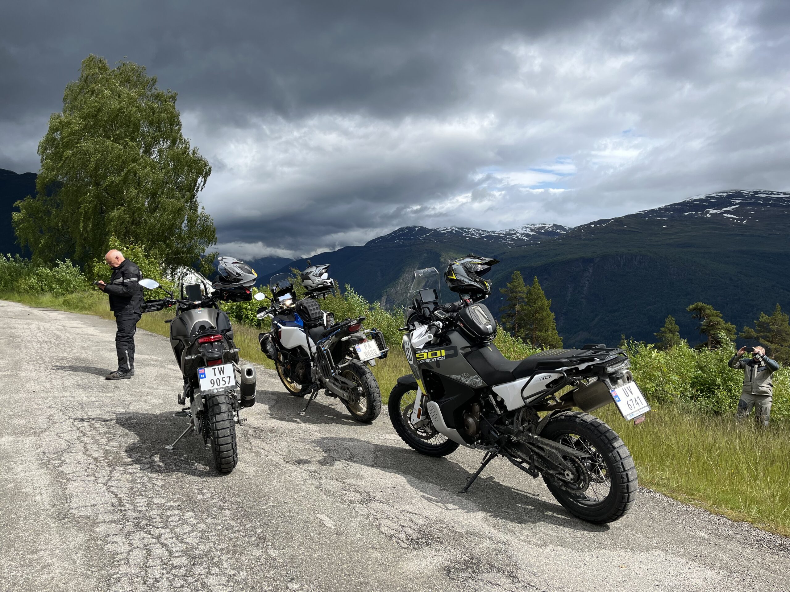
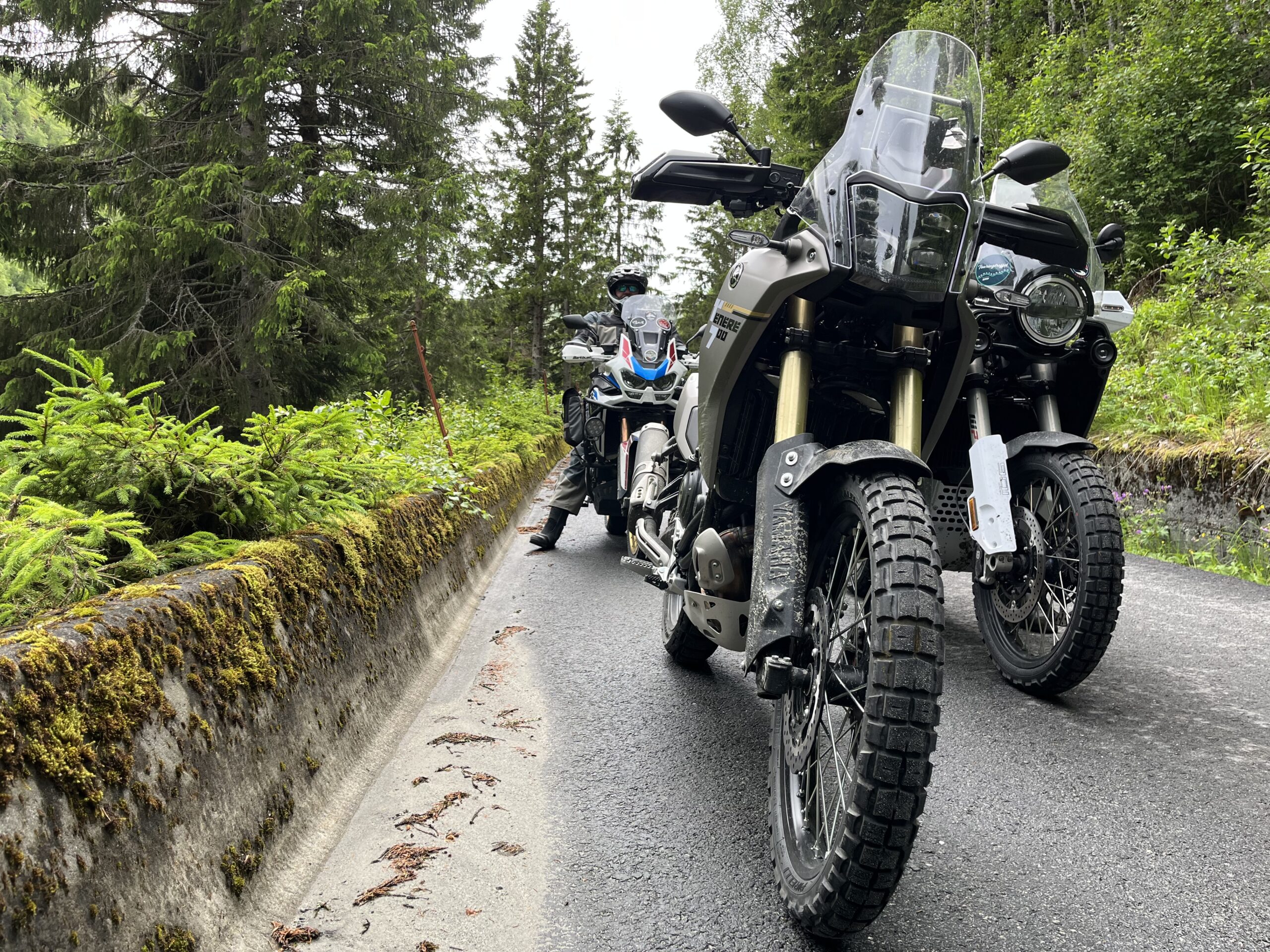
This is a fantastic route that offers great driving experiences and not least historical experiences. You can drive this route in an afternoon session, or just take your time to experience many exciting things throughout the day. In short, the tour encompasses turns, history and experience and is spectacular in every way. The trip to the famous sanatorium that used to treat tuberculosis patients and later mentally ill people is well known and has recently been used for filming the Norwegian horror movie Villmark. It’s (supposedly) haunted and the place is downright creepy. The ropeway was used to transport patients from sea level up to Harastølen between 1955 and 1992, and the carriage itself actually stands in the garden of Skjolden Hotel today. You can still see the remains of the cable car and lift house at Harastølen to this day, and if you take a closer look you might be glad you don’t have to use it yourself! The hike up to Harestølen is on a festive gravel road with many bends and elevation changes and has a high “fun factor”.
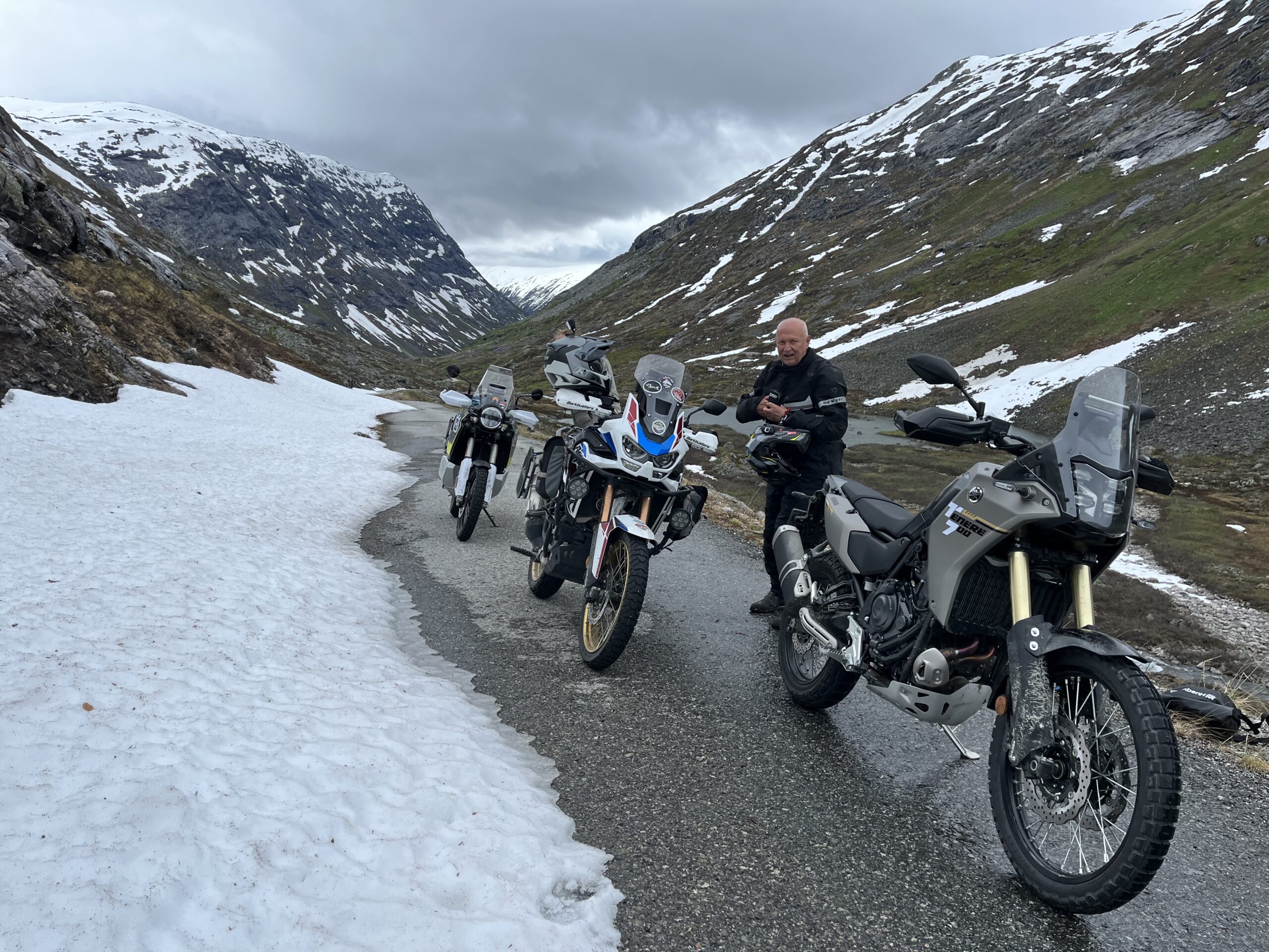
When you come down from Harastølen, the ride enters another phase with a little more speed and wonderful sweepers that let you feel speed, balance and light G-forces. A little further up the valley, the roads and bends become narrower and the surface a little worse, but we ride on asphalt. Although we recommend adventure bikes, everything on this route can be ridden with all types of bikes and tires.
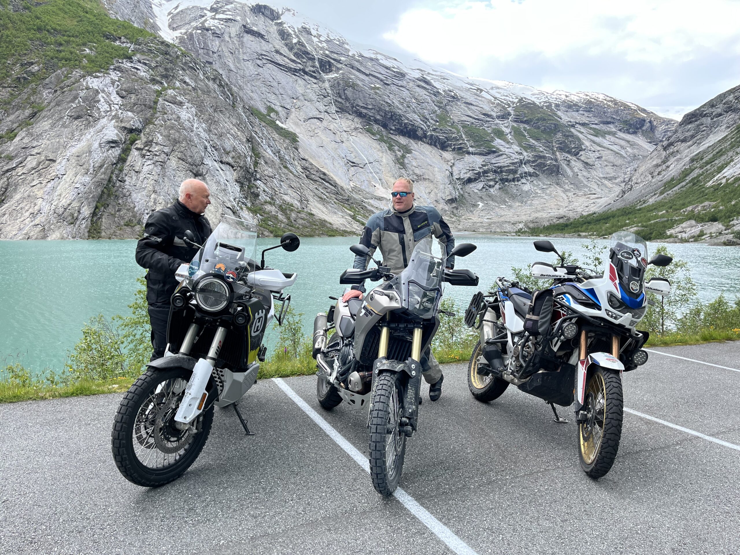
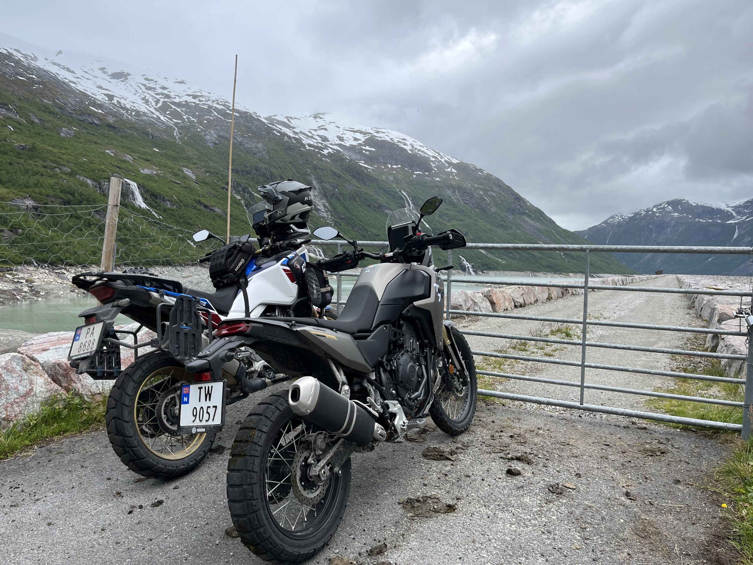
At the top of the dam at Styggevatn, you can enjoy the view of the stunningly beautiful valley before heading home, taking a trip to Nigardsbreen and the adventure center there. A little further down the valley, it’s definitely worth taking in the lovely, narrow bends that take you up to the Tunsbergdalsdammen dam, which holds as much as
178 million m3 of water. This is a rich region that thrives on hydropower.
The charming stage back to Skjolden offers delightful turns before you can once again enjoy memories of the day in combination with fantastic uncooked food and good drinks.
Support
How can I navigate the route?
This primarily depends on whether you have a GPS installed, navigate by App on your mobile phone or prefer paper printing. Here we describe the most common workflows:
Download the GPX file for the route of your choice to your computer
Import the file to your route planning tool (e.g. Garmin’s Basecamp or Tom Tom’s MyDrive)
Export the route to your GPS in the usual way
Check that the route is calculated correctly in your GPS (It is recommended that the GPS is set to select the fastest route and any avoidance is turned off for the route to be calculated as described).
Download the GPX file for the route of your choice to your mobile phone
Send/open the file in the app that belongs to your GPS model (e.g. Garmin’s Drive or Tom Tom’s MyDrive)
Send the route to your GPS (follow instructions that come with your GPS and App)
Check that the route is calculated correctly in your GPS (It is recommended that the GPS is set to select the fastest route and any avoidance is turned off for the route to be calculated as described).
Many of the routes on Hubriding use the app Ride with GPS app for route planning and navigation of the routes. You can download a free version or pay for extended use. Click on the Send to Device link on the map on this page, when the app has started and you see the current route, press Navigate and then just follow the route.