Route 5

List of gravel

This is a route that runs in the same landscape as route 3 and route 4, but we have unreservedly prioritized gravel. The quality of these gravel roads is “unfortunately” a little too good, but you get gravel. For gravel enthusiasts, this means a lot of speed and fun. The route includes a total of 2788 vertical meters.

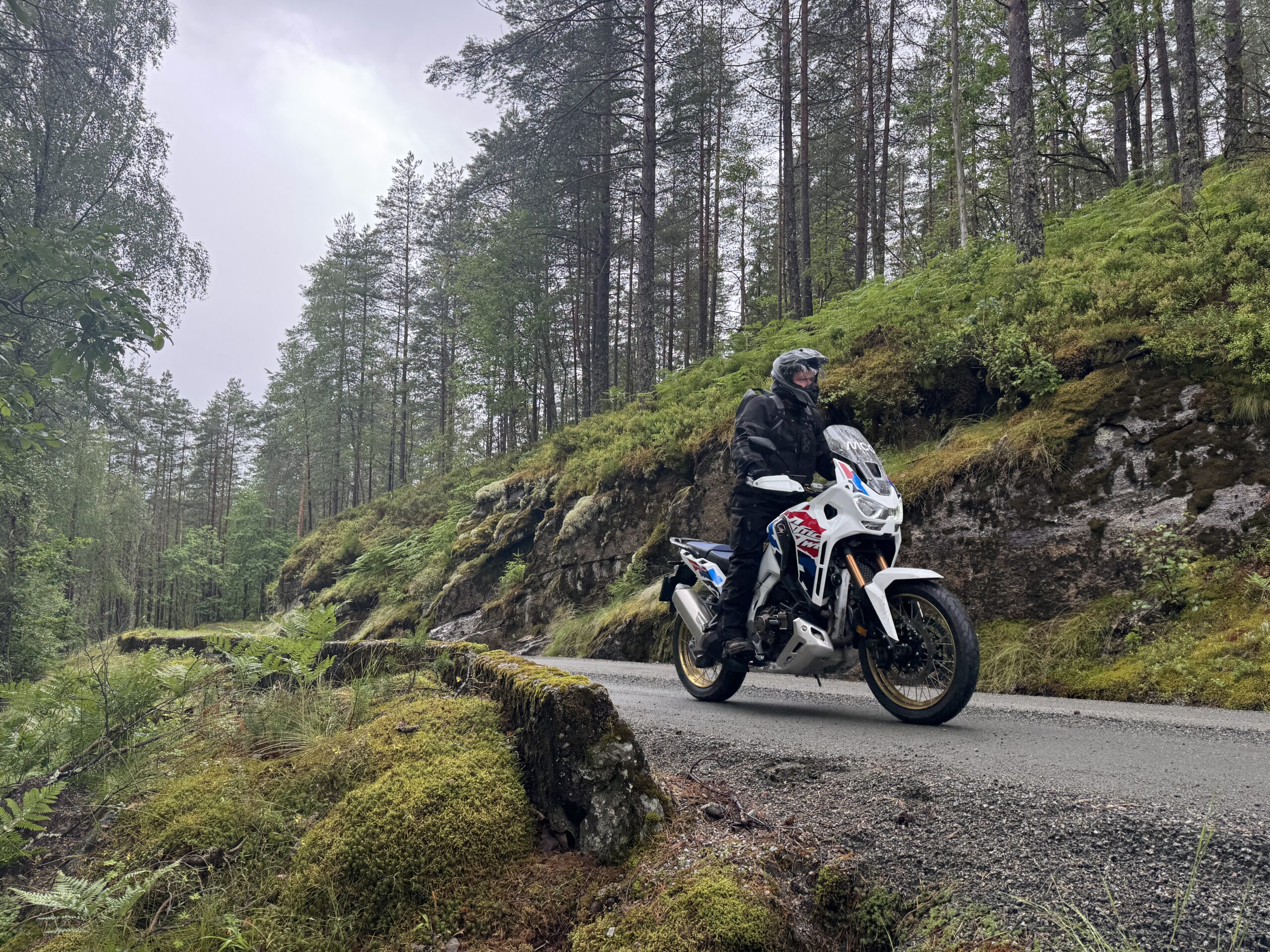
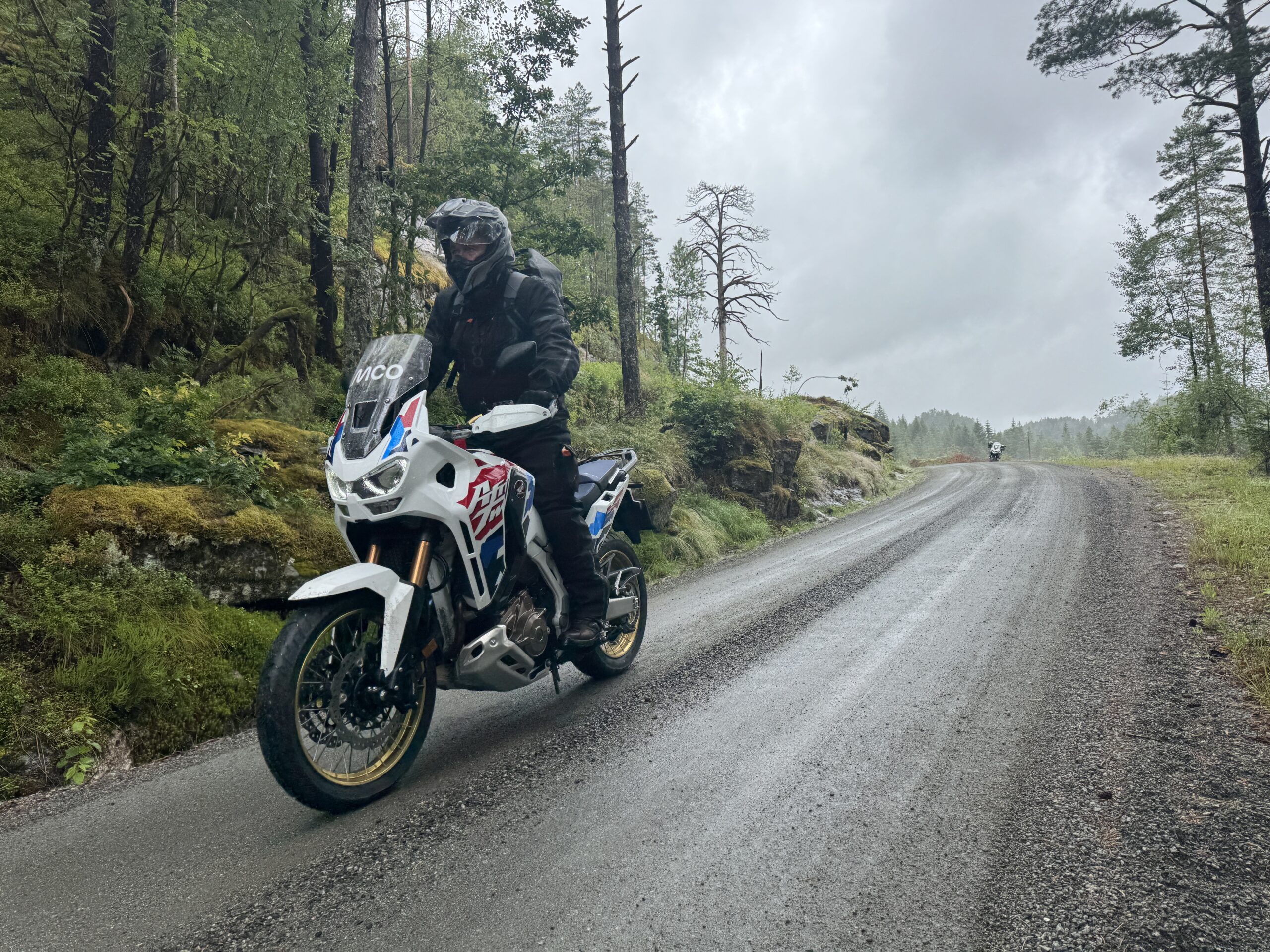
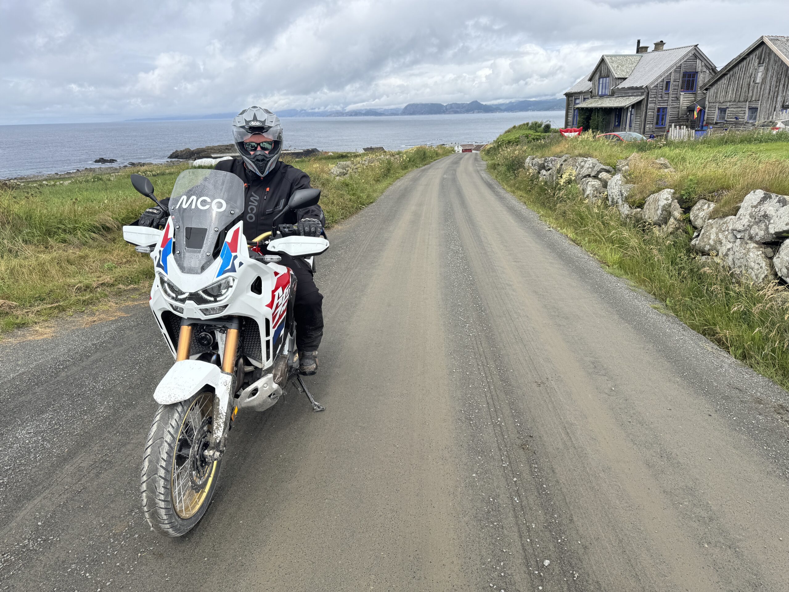
The route is defined as normal

Routes defined as normal are suitable for most people who have experience with somewhat demanding sections.

Time
2:30 hours

Length
140 km

Popularity
7.5 av 10

Assessed by the number of clicks on this page in the last two weeks compared to all Hubriding routes.

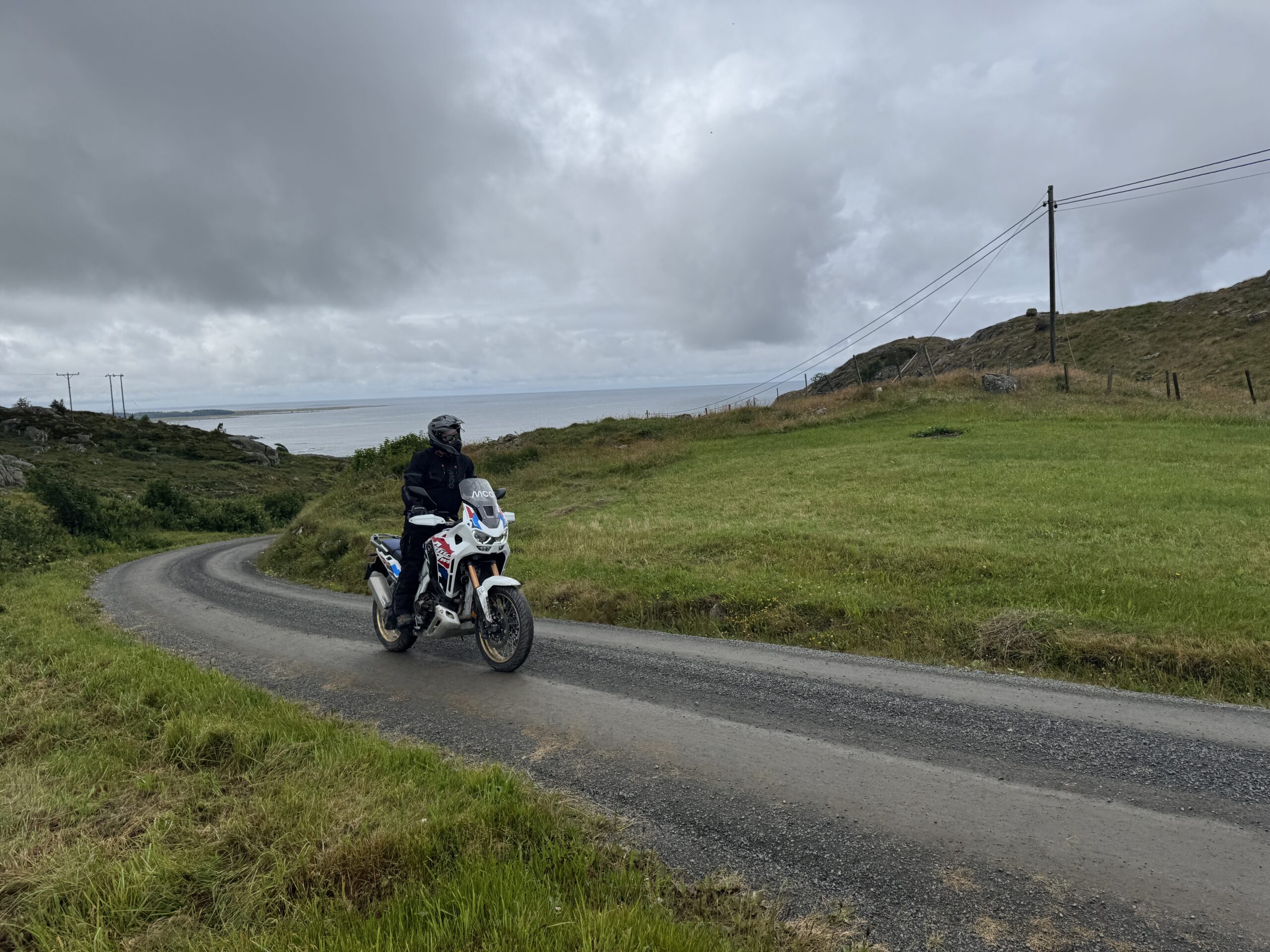
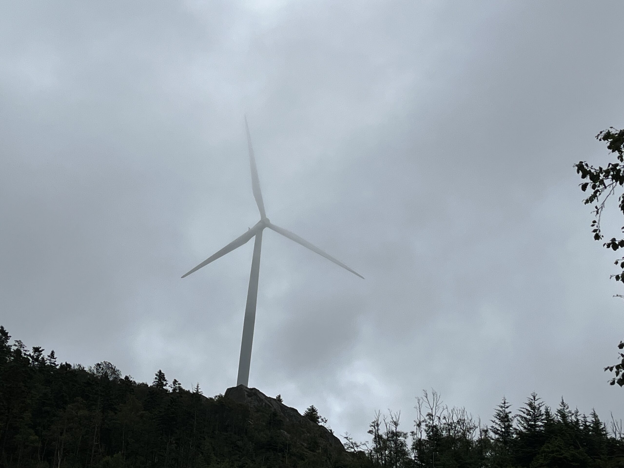
There's a lot of up and down, in and out, a lot of terrain and fauna that can take many people's breath away. Rain is no obstacle, which makes this route even more beautiful. There are plenty of breaks and places to eat along the way, so don't forget to take breaks.

This route started and stopped in Flekkefjord, so if you’re in another of the three cities, you’ll have to get there first. We can inform you that Grans Hotell Flekkefjord is in the chain and therefore part of this concept. Once again, we are in Route 3 and Route 4 country so the topography will be similar to these routes. There are plenty of great experiences on the way, note the building style and decoration of the farmhouse you pass, you are guaranteed to put a smile on your face. Gravel and asphalt reveal each other but the proportion of gravel should be about 50% of the entire route, which is 140 km and includes 2788 meters of altitude.

Along the way, you will pass many detours that we recommend exploring. Many of them will be return tracks, but as you know, back and forth is two trips in the motorcycle world.


Support

How can I navigate the route?

This primarily depends on whether you have a GPS installed, navigate by App on your mobile phone or prefer paper printing. Here we describe the most common workflows:

  • Download the GPX file for the route of your choice to your computer
  • Import the file to your route planning tool (e.g. Garmin’s Basecamp or Tom Tom’s MyDrive)
  • Export the route to your GPS in the usual way
  • Check that the route is calculated correctly in your GPS (It is recommended that the GPS is set to select the fastest route and any avoidance is turned off for the route to be calculated as described).
  • Have a good trip!
  • Download the GPX file for the route of your choice to your mobile phone
  • Send/open the file in the app that belongs to your GPS model (e.g. Garmin’s Drive or Tom Tom’s MyDrive)
  • Send the route to your GPS (follow instructions that come with your GPS and App)
  • Check that the route is calculated correctly in your GPS (It is recommended that the GPS is set to select the fastest route and any avoidance is turned off for the route to be calculated as described).
  • Have a good trip!

Many of the routes on Hubriding use the app Ride with GPS app for route planning and navigation of the routes. You can download a free version or pay for extended use. Click on the Send to Device link on the map on this page, when the app has started and you see the current route, press Navigate and then just follow the route.

  • Click on the link in the map on the page and the map will open in a new window
  • Print the map, with or without description
  • Have a good trip!