Warning: foreach() argument must be of type array|object, bool given in /var/www/vhosts/hubriding.no/httpdocs/wp-content/plugins/hubriding_cf/includes/php/hub_dynamic_return.php on line 12
HubridingStraand Hotel

Paddling in Eidstodpølen

Route 1

Paddling in Eidstodpølen

Enjoy a short trip starting from Straand Sommerland. Be inspired by a nice walk along the shore and experience the village from the water. There is often flat water and very easy paddling conditions. Bring your morning coffee.

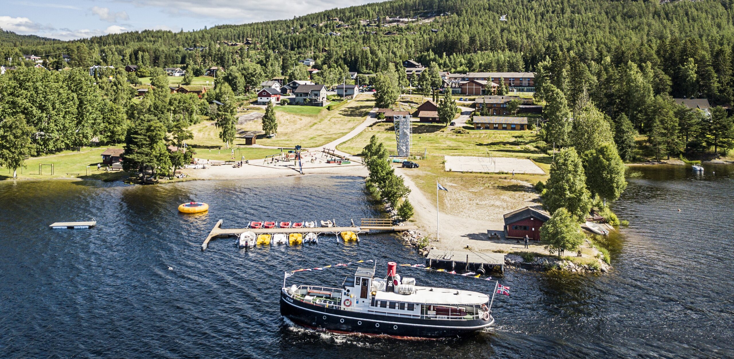
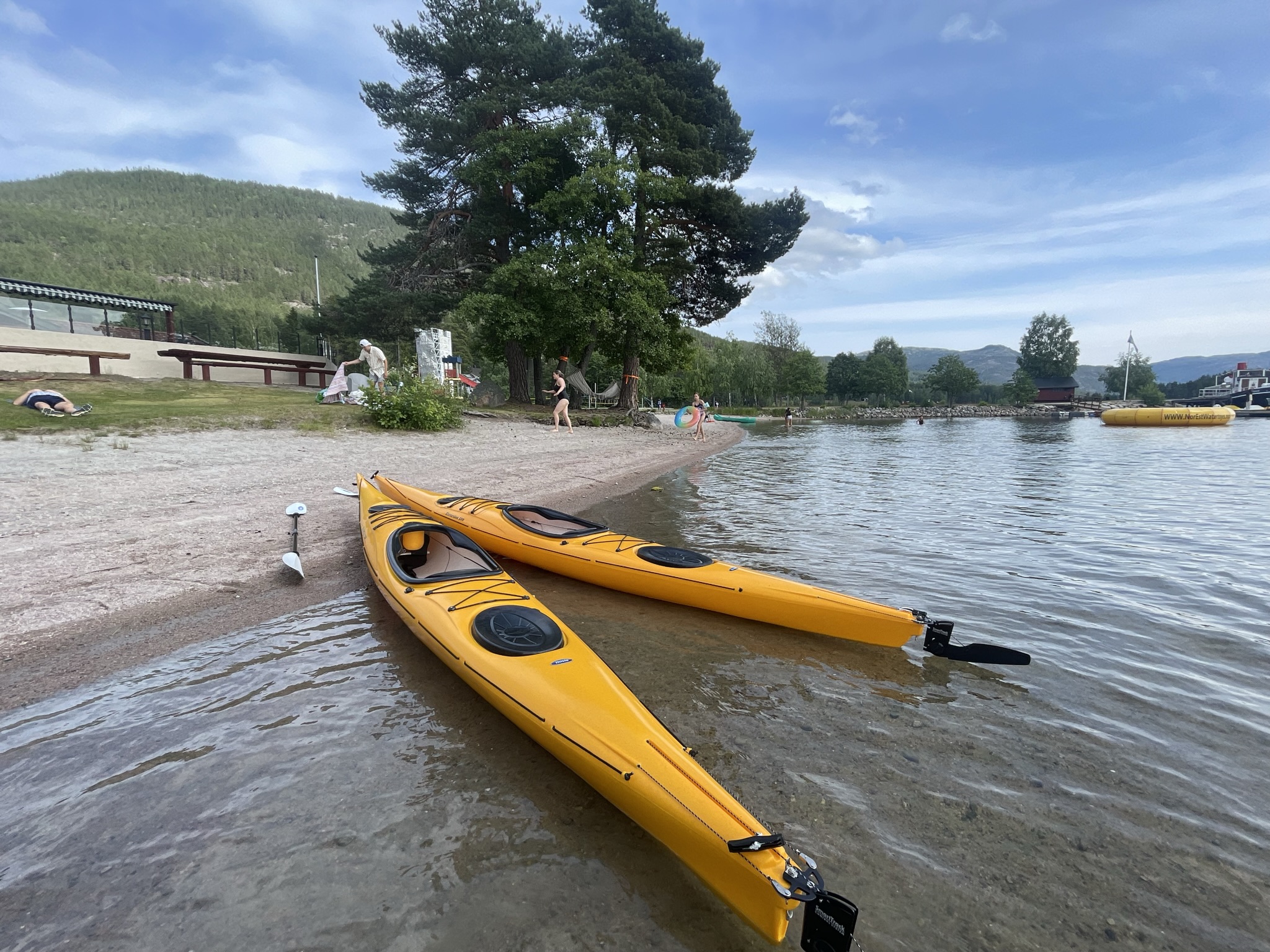
The route is defined as easy

Routes defined as easy are suitable for everyone regardless of experience.

Tid
45 minutter

Length
1.2 km

Popularity
7.5 av 10

Assessed by the number of clicks on this page in the last two weeks compared to all Hubriding routes.

The route runs along the shore on flat water and you get to experience Vrådal from a new perspective.
Enjoy this tour early in the morning or take an evening trip.

Nisser is an idyllic lake and part of the Arendal watercourse.
The name comes from the Old Norse “Niðsær” which means “the lower lake”.
The upper lake is Vråvatn, which is connected to Nisser via the locks in Vrådal (Små- and Storstraum).
Enjoy a great trip starting from Straand Sommerland and discover the village in a new way.
Paddle along the shore, past the outlet of the Eidsto river and on to the center of Vrådal.
You can extend the trip further past the center and out to Småstraum lock.
Experience the locks up close, but make sure there are plenty of currents in the water at the lock.
Return back the same way and enjoy the peaceful walk.

Support

How can I navigate the route?

This primarily depends on whether you have a GPS installed, navigate by App on your mobile phone or prefer paper printing.
Here we describe the most common workflows:

  • Download the GPX file for the route of your choice to your computer
  • Import the file to your route planning tool (e.g. Garmin’s Basecamp or Tom Tom’s MyDrive)
  • Export the route to your GPS in the usual way
  • Check that the route is calculated correctly in your GPS (It is recommended that the GPS is set to select the fastest route and any avoidance is turned off for the route to be calculated as described).
  • Have a good trip!
  • Download the GPX file for the route of your choice to your mobile phone
  • Send/open the file in the app that belongs to your GPS model (e.g. Garmin’s Drive or Tom Tom’s MyDrive)
  • Send the route to your GPS (follow instructions that come with your GPS and App)
  • Check that the route is calculated correctly in your GPS (It is recommended that the GPS is set to select the fastest route and any avoidance is turned off for the route to be calculated as described).
  • Have a good trip!

Many of the routes on Hubriding use the app Ride with GPS app for route planning and navigation of the routes.
You can download a free version or pay for extended use.
Click on the Send to Device link on the map on this page, when the app has started and you see the current route, press Navigate and then just follow the route.

  • Click on the link in the map on the page and the map will open in a new window
  • Print the map, with or without description
  • Have a good trip!