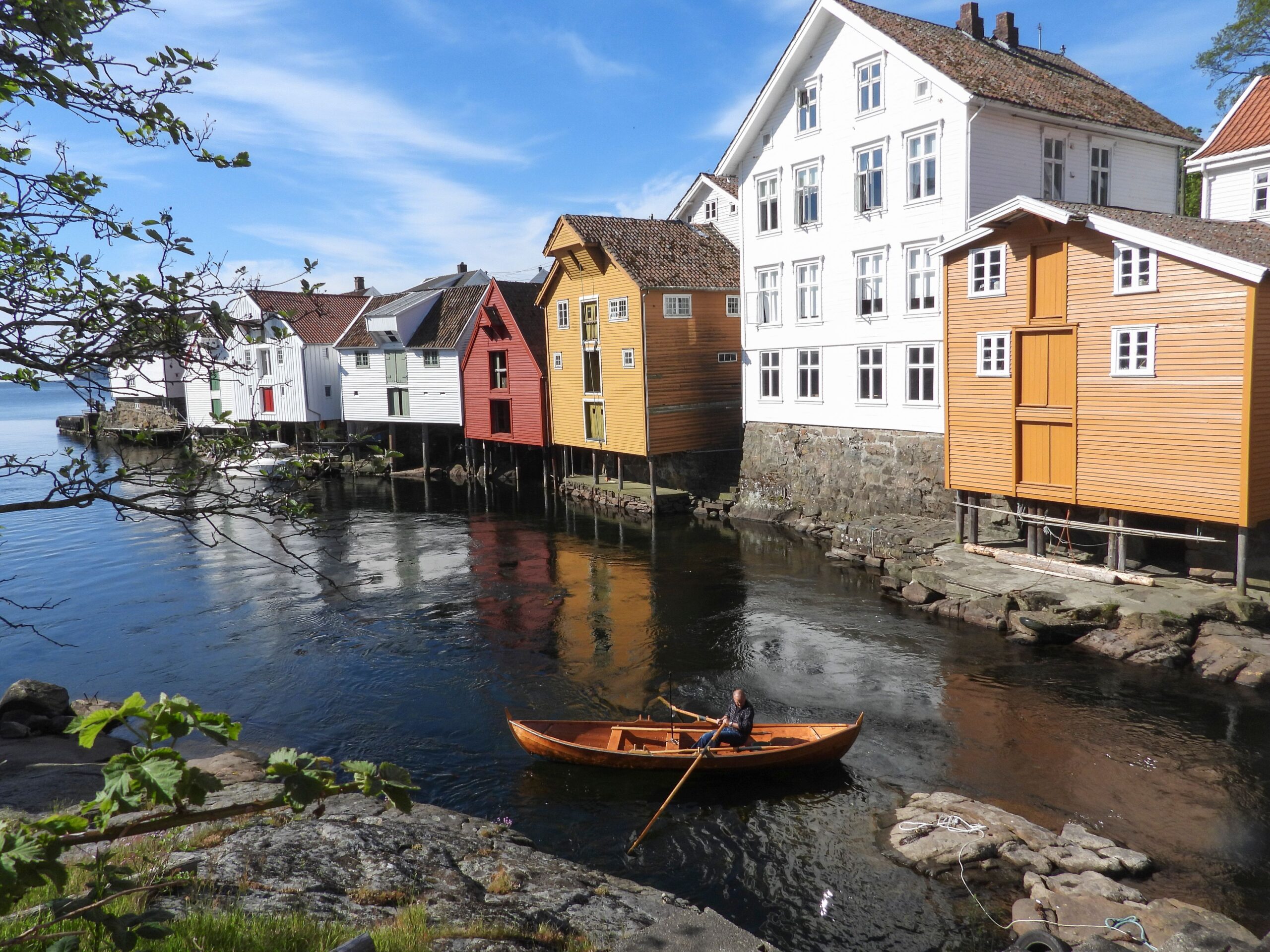
The road first takes you through a winding back road up to the national tourist route RV44 – and then over to Jøssingfjorden on SWINGING fantastic asphalt roads! Up in the mountains by the Jøssingfjord, there is a memorial at the parking lot overlooking the Jøssingfjord where the Altmark action took place in the weeks before the invasion of Norway on April 9, 1940. Many believe that the Altmark action, where British marines freed 300 British prisoners of war, was one of the reasons why Hitler took an interest in Norway “since Norway was not neutral at the time”. The British action was NOT cleared with Norway. After Jøssingfjorden, there are fairground roads via Åna Sira, up to Grand Hotel Flekkefjord.
Support
How can I navigate the route?
This primarily depends on whether you have a GPS installed, navigate by App on your mobile phone or prefer paper printing. Here we describe the most common workflows:
Download the GPX file for the route of your choice to your computer
Import the file to your route planning tool (e.g. Garmin’s Basecamp or Tom Tom’s MyDrive)
Export the route to your GPS in the usual way
Check that the route is calculated correctly in your GPS (It is recommended that the GPS is set to select the fastest route and any avoidance is turned off for the route to be calculated as described).
Download the GPX file for the route of your choice to your mobile phone
Send/open the file in the app that belongs to your GPS model (e.g. Garmin’s Drive or Tom Tom’s MyDrive)
Send the route to your GPS (follow instructions that come with your GPS and App)
Check that the route is calculated correctly in your GPS (It is recommended that the GPS is set to select the fastest route and any avoidance is turned off for the route to be calculated as described).
Many of the routes on Hubriding use the app Ride with GPS app for route planning and navigation of the routes. You can download a free version or pay for extended use. Click on the Send to Device link on the map on this page, when the app has started and you see the current route, press Navigate and then just follow the route.