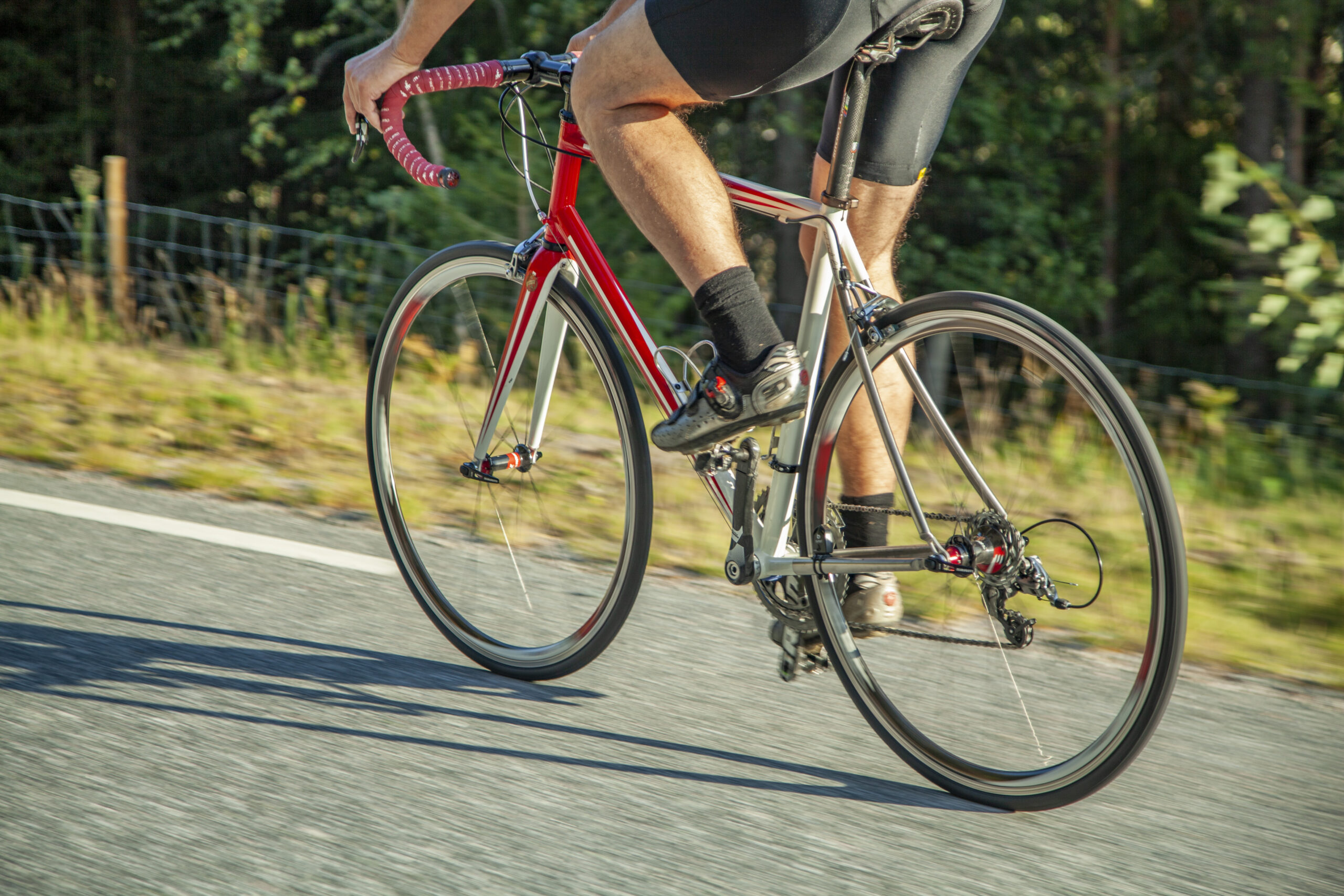
Ruten defineres som normal
Ruter som defineres som normal egner seg for de fleste som har erfaring med noe krevende partier.Lengde
86 km
Popularitet
7.8 av 10
Rute 8: Nisser rundt
Det anbefales at GPS er satt til å velge raskeste rute og evt. unngåelser skrudd av for at ruten skal kalkuleres som beskrevet.
Treungen er i seg selv veldig hyggelig og her finner du også det legendariske Z museum som har morsomme utstillinger fra 1900 tallet og oppover. Her finner du blant annet alt av teknologi du husker fra barndommen din, så dette kan blir en reise i nostalgi. På returen får du også mulighet til å oppleve den fantastiske Fjone ferga som trekkes over av en kabel (NB: sjekk rutetabellen før avreise).
Rute 8 er en flott temporute for proffene og en herlig turopplevelse for mosjonister. Denne turen er og en fin restitusjonstur for de som kanskje har hatt en litt hardere tur dagen før. Det er helt fantastisk å starte turen i Vrådal i den fine morgensolen som speiler seg med fjellene i det blikkstille vannet. Turen ned til Treungen er lett kupert og veksler mellom å gå langs vannet eller åpne og velstelte skogsområder. På vei til Treungen har du mulighet til å bunkre i Nordbygda eller Kyrkjebygdi som ligger halvveis på veien ned til Treungen. I Treungen har du muligheter til å finne vafler og kaffe eller besøke Z museum som vi virkelig anbefaler. Her kan du også få enkel bevertning. Herifra går veien nordover langs vestsiden av Nisser i et variert og hyggelig terreng. Veien snor seg gjennom skog og landbruksareal, men du kan hele tiden nyte utsikten over Nisser, helt nydelig. Veien fra Fjone og ut til kabelferga på Sundåsen er intet mindre enn sjarmerende og alle synes at turen over Nisser med kabelferga er et høydepunkt. Herifra har du en svært hyggelig sjarmøretappe tilbake til Vrådal og takterrassen som venter med hyggelige mennesker og velfortjente forfriskninger.
Support
Dette kommer først og fremst an på om du har montert en GPS, navigerer etter App på mobiltelefonen eller foretrekker papirutskrift. Her beskriver vi de vanligste arbeidsflytene:
Mange av rutene på Hubriding bruker appen Ride with GPS for ruteplanlegging og navigering av rutene. Denne kan du laste ned i gratisversjon eller betale for utvidet bruk. Trykk på lenken Send to Device på kartet på denne siden, når appen har startet og du ser aktuell rute trykker du Navigate og så er det bare å følge ruta.
Hubriding betyr at du med base på et av De Historiske hotell, velger blant mange definerte kjøreruter som ligger i omlandet til hotellet. Rutene vi tilbyr går i noe av Norges aller beste terreng og omfatter titusenvis av svinger, spektakulære fjelloverganger, asfalt, grus, herlige naturopplevelser og muligheten til å spise godt ved lokale etablissementer. I rutene har vi lagt inn severdigheter og spisesteder du kan besøke. Du vil kunne velge mellom en rekke ruter og rutekombinasjoner som gjør det mulig å velge dagsetapper med varierende lengde og vanskelighetsgrad. Konseptet er utviklet av Straand Hotel i Vrådal sammen med Norges fremste MC-entusiaster