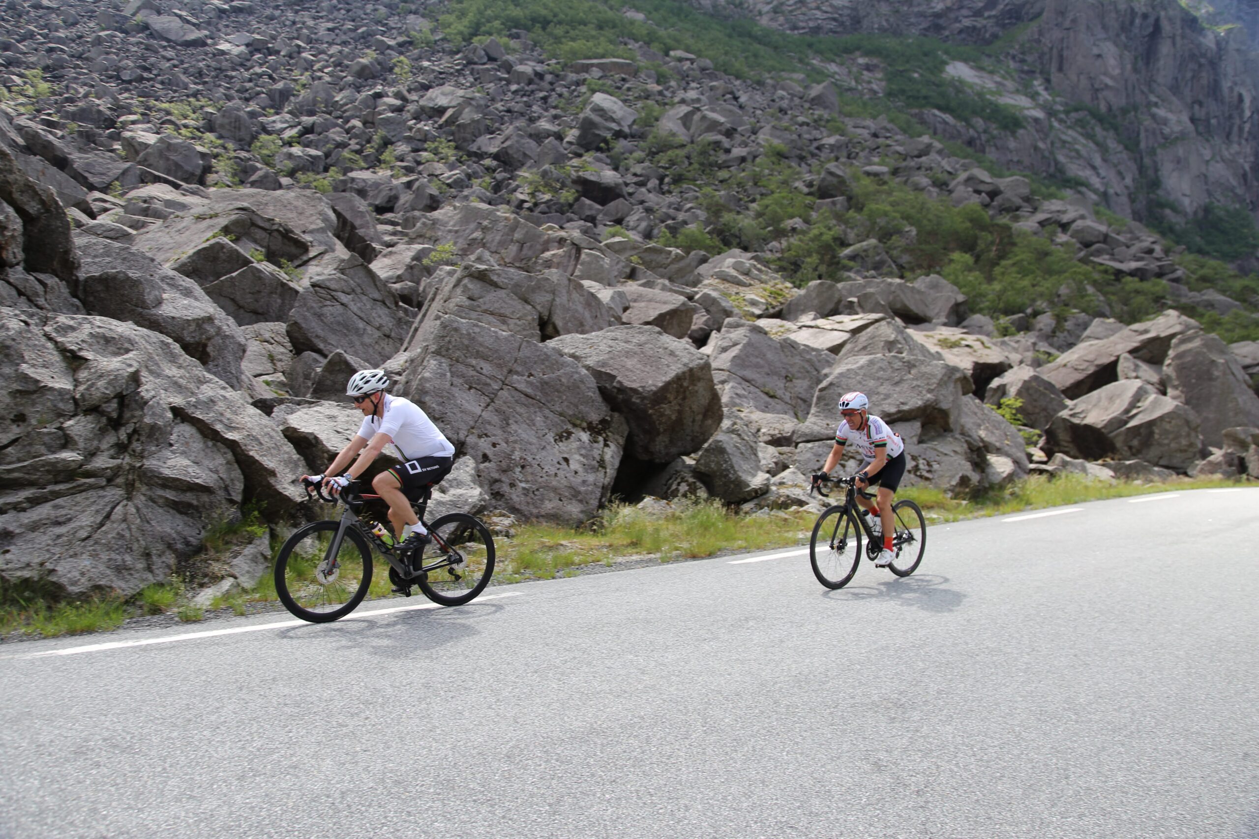
Route 7

Byrkjedalsrunden

Byrkjedalsrunden is probably one of the most popular cycling tours in Rogaland. On this tour, you'll meet all categories of cyclists from fitness enthusiasts to pros like Alexander Kristoff. Elements of the tour are characterized as the "inner fillet" of Rogaland.

The route is defined as extreme

Routes defined as extreme are suitable for people who are familiar with demanding lots and have extensive experience

Time
6:00 hours

Length
106 km

Popularity
5out of 10

Calculated automatically

This version of Byrkjedalsrunden "goes clockwise" - i.e. you cycle towards Vatne and then towards Seldal.

This tour takes you along lightly trafficked local roads towards Sviland and then cycle in easy terrain along Søredalen valley towards Seldal. At Seldalsvannet you cycle up the first climb of the route, but don't worry, this is a stretch of only a few hundred meters. The route then continues down towards Oltedal where you follow the main road towards Frafjord. In Dirdal, you cycle via a cozy cycle path through the valley before cycling via two tunnels up to Byrkjedalstunet (remember lights). After a well-deserved break at Byrkjedalstunet, you cycle up to Gloppedalsura where you can read about Northern Europe's largest stone cairn and what happened there during World War II. The tour then continues towards the area we characterize as Rogaland's "inner fillet" in terms of cultural landscape (Nedrebø). Upon arrival at E39, you must cycle approx. 6 km on the main road before reaching Skurve, where you cycle on a cycle path via Ålgård all the way to Sandnes. On the E39, it is recommended to cycle in two neat rows so that cars have to overtake properly rather than squeeze past if you cycle in one row. If you want a longer variant (125 km), we recommend the trip via Bue (see separate map). Once you arrive, the chefs are waiting for you, so after a well-deserved rest in historic surroundings, you should treat yourself to a delicious 3-course dinner with something good in a glass while you plan tomorrow's route!

Support

How can I navigate the route?

This depends primarily on whether you have installed a GPS, navigate by App on your mobile phone or prefer paper printouts. Here we describe the most common workflows:

  • Download the GPX file for the route you want to your computer
  • Import the file to your route planning tool (e.g. Garmin's Basecamp or Tom Tom's MyDrive)
  • Export the route to your GPS in the usual way
  • Check that the route is calculated correctly in your GPS (It is recommended that the GPS is set to select the fastest route and any avoidance turned off for the route to be calculated as described).
  • Have a great trip!
  • Download the GPX file for the route you want to your mobile phone
  • Send/open the file in the App that belongs to your GPS model (e.g. Garmin's Drive or Tom Tom's MyDrive)
  • Send the route to your GPS (follow the instructions that come with your GPS and App)
  • Check that the route is calculated correctly in your GPS (It is recommended that the GPS is set to select the fastest route and any avoidance turned off for the route to be calculated as described).
  • Have a great trip!

Many of the routes on Hubriding use the app Ride with GPS app for route planning and navigation of the routes. You can download this as a free version or pay for extended use. Click on the Send to Device link on the map on this page, when the app has started and you see the current route, click Navigate and then just follow the route.

  • Click on the link in the map on the page and the map will open in a new window
  • Print the map, with or without description
  • Have a great trip!