Route 6

Vrådal Panorama 2

This route at the top of Vrådal Panorama is based on the three style trails that eager cabin dwellers have established. An impressive amount of work has been done to prepare the trails with boulders, stones, etc. and the trails are well marked and can be found on a large sign at the top of the ski resort. Thanks to everyone who has contributed!

The route is defined as simple

Routes defined as easy are suitable for everyone regardless of experience

Length
9.1 km

Popularity
6out of 10

Calculated automatically

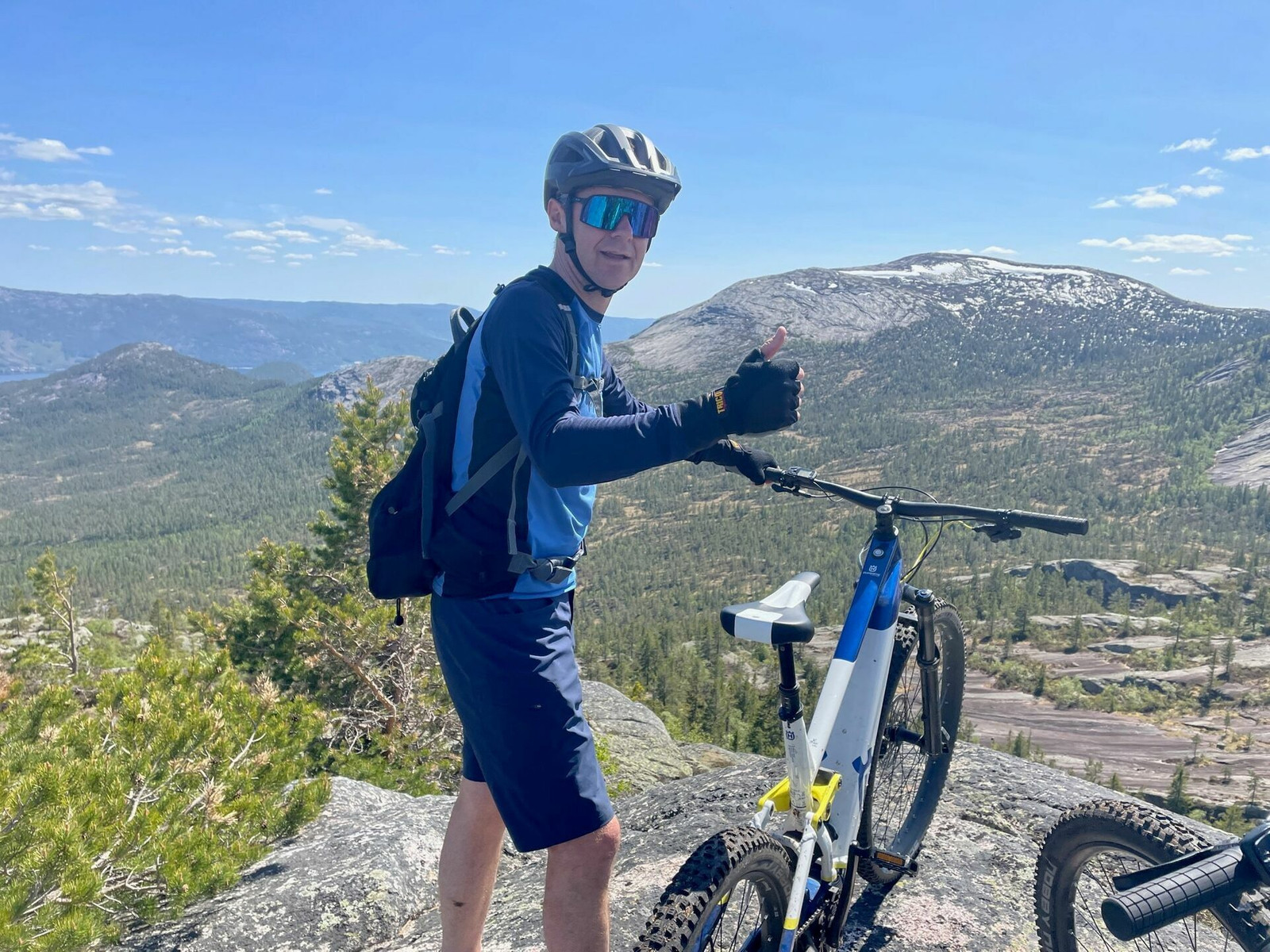
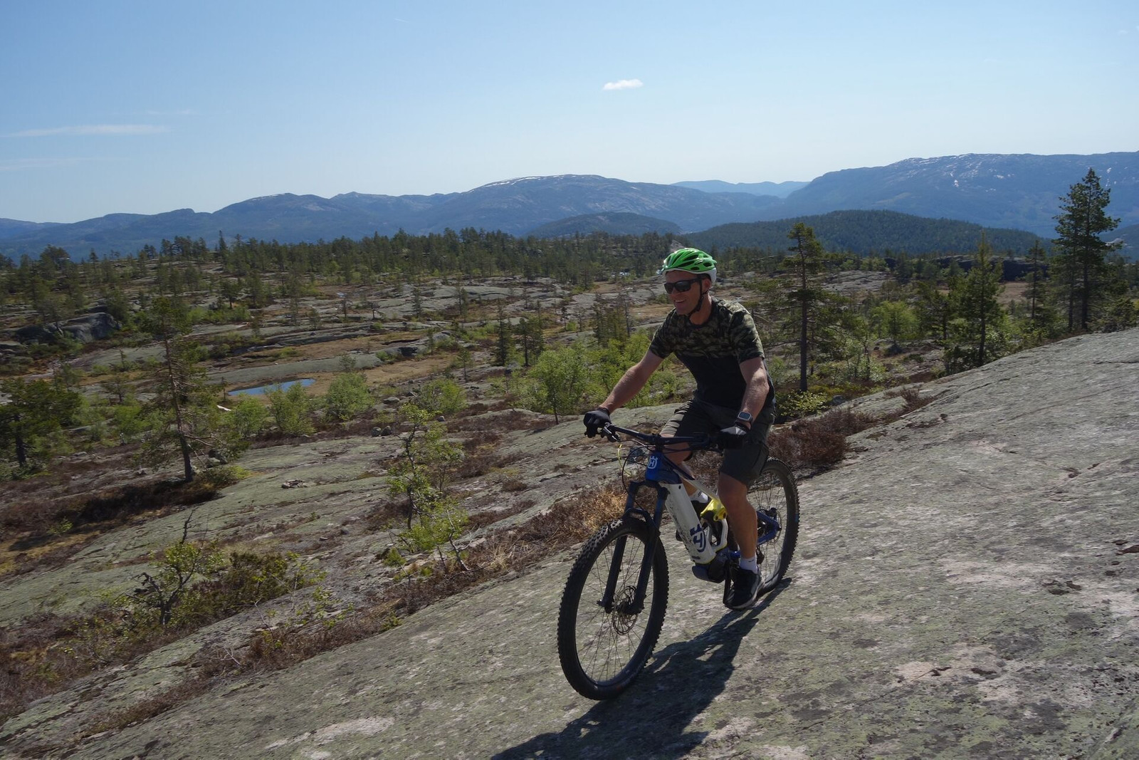
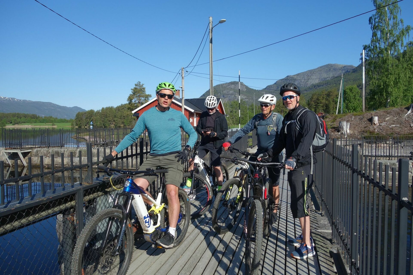
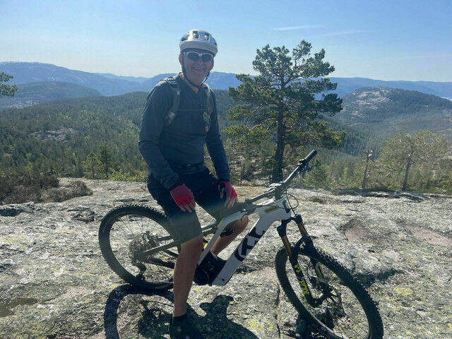
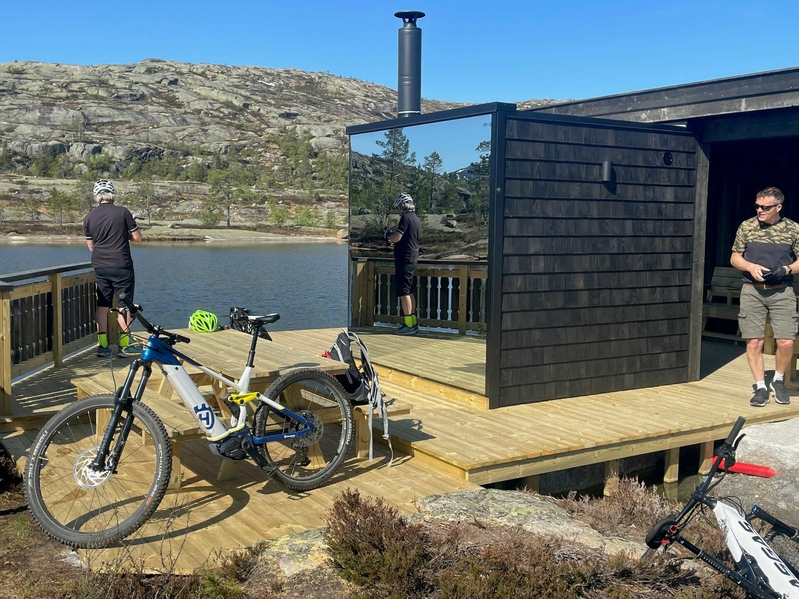
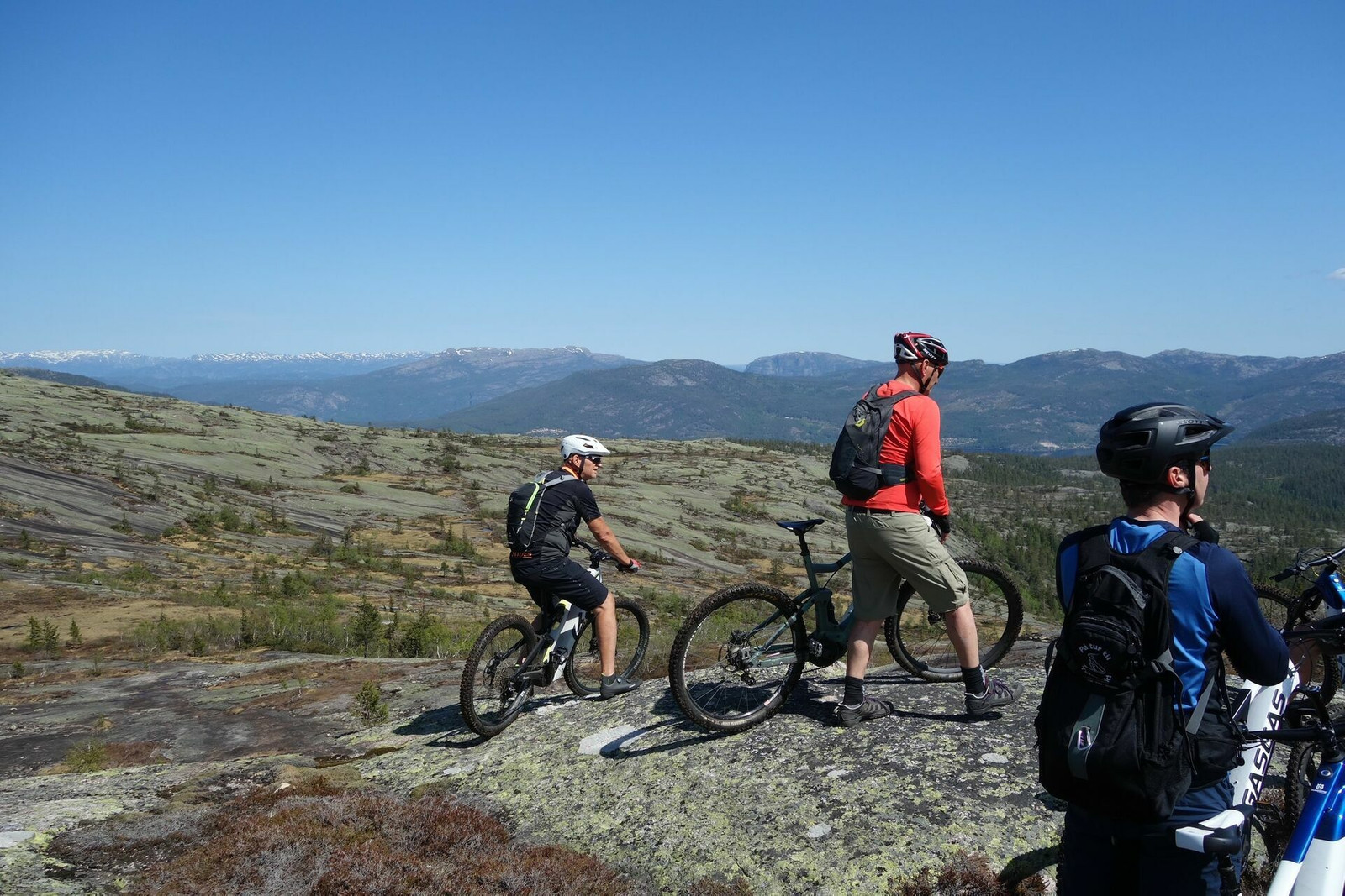
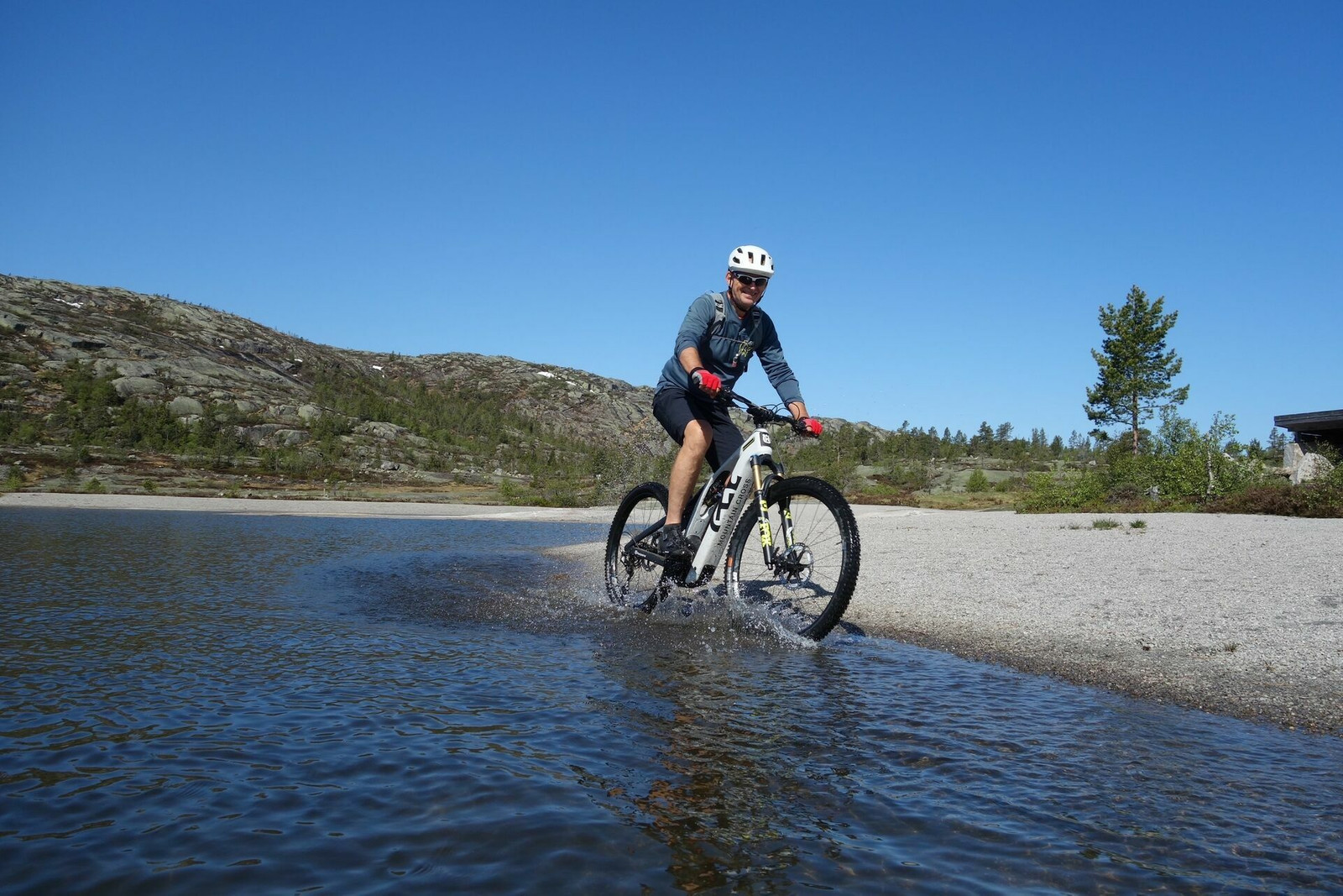
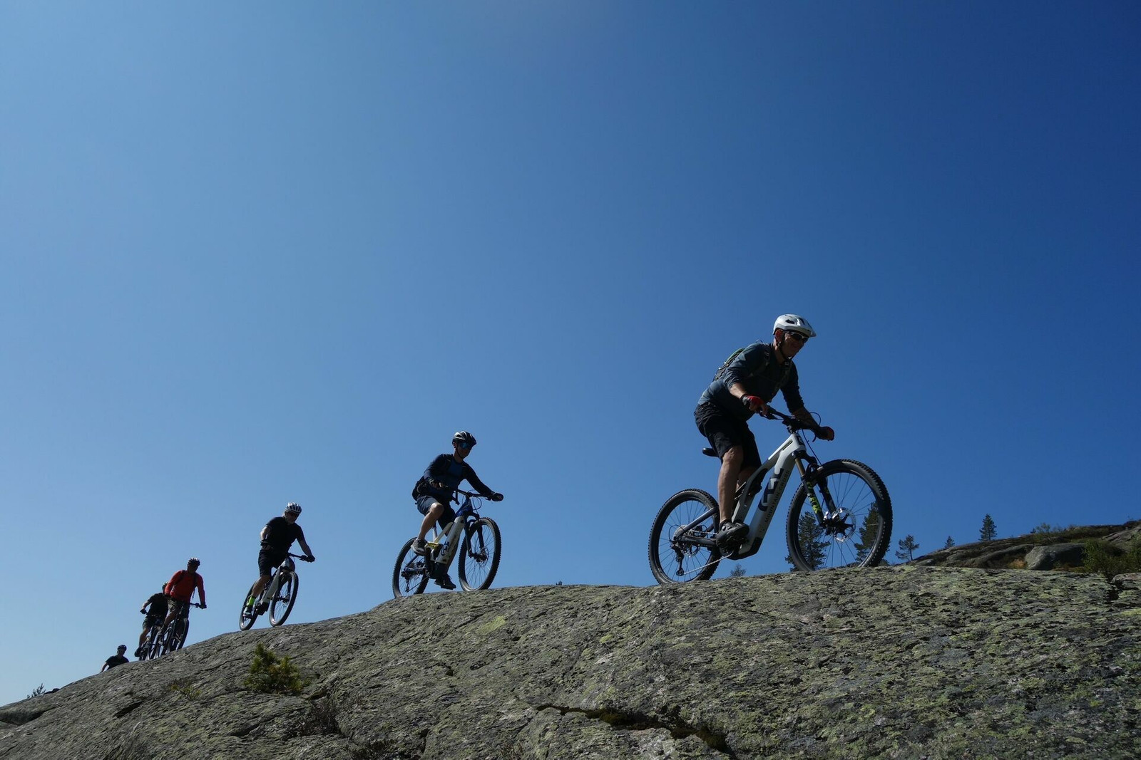
Enjoy the great trails that have been prepared at the top of Vrådal Panorama. Once you've cycled the trails for a while, you'll soon want to explore the beautiful area, as there are countless opportunities to take detours and get higher up the mountain. Enjoy the fantastic mountain, there is an ocean of possibilities. Have a great trip.

VRÅDAL PANORAMA 2 is based on three trails laid out by keen cycling enthusiasts among the cabin dwellers. An impressive amount of work has been done to prepare the trails with boulders, stones, etc. and the trails are well marked and can be found on a large sign at the top of the ski resort.
Thank you all!

We start at the new and unique sauna at the top of the ski lift, which can be used for a small fee after the tour for those who want a bath and some warmth!
The first round is along Rådyrstien - blue trail - 2.3 km on small trails and lovely rocky outcrops. The whole round just flows! Follow the trail about halfway where signs show blue to the left and red to the right. If you keep a little to the right, you can balance over a lovely egg (photo!) before continuing on blue 100 meters further on.
Back to the sauna, take Gaupestien on the smooth oak and lovely path down to Utsikten café and either return the same way to the sauna or via the road up again to get a little break from trail cycling.

If you want more, you can include the last section, 4 km in more technically demanding terrain up and down to Skarstøylsnetten. This is the start of the foot trail towards Hægefjell and will also give you an idea of what our Vrådal Panorama 1 route will look like. Have a good trip!

Support

How can I navigate the route?

This depends primarily on whether you have installed a GPS, navigate by App on your mobile phone or prefer paper printouts. Here we describe the most common workflows:

  • Download the GPX file for the route you want to your computer
  • Import the file to your route planning tool (e.g. Garmin's Basecamp or Tom Tom's MyDrive)
  • Export the route to your GPS in the usual way
  • Check that the route is calculated correctly in your GPS (It is recommended that the GPS is set to select the fastest route and any avoidance turned off for the route to be calculated as described).
  • Have a great trip!
  • Download the GPX file for the route you want to your mobile phone
  • Send/open the file in the App that belongs to your GPS model (e.g. Garmin's Drive or Tom Tom's MyDrive)
  • Send the route to your GPS (follow the instructions that come with your GPS and App)
  • Check that the route is calculated correctly in your GPS (It is recommended that the GPS is set to select the fastest route and any avoidance turned off for the route to be calculated as described).
  • Have a great trip!

Many of the routes on Hubriding use the app Ride with GPS app for route planning and navigation of the routes. You can download this as a free version or pay for extended use. Click on the Send to Device link on the map on this page, when the app has started and you see the current route, click Navigate and then just follow the route.

  • Click on the link in the map on the page and the map will open in a new window
  • Print the map, with or without description
  • Have a great trip!