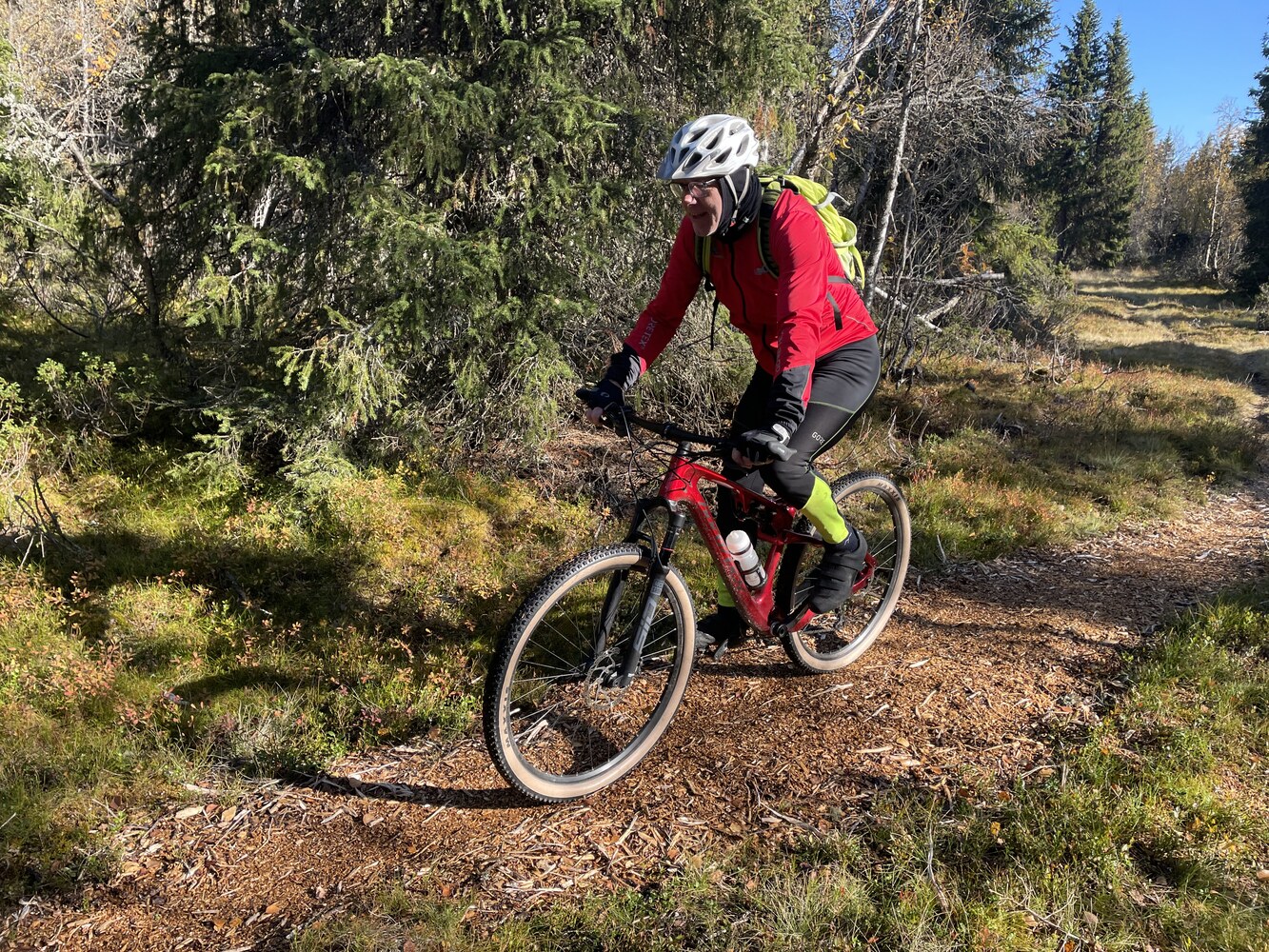
Ruten defineres som normal
Ruter som defineres som normal egner seg for de fleste som har erfaring med noe krevende partier.Tid
3:30 timer
Lengde
50 km

Popularitet
5.8 av 10
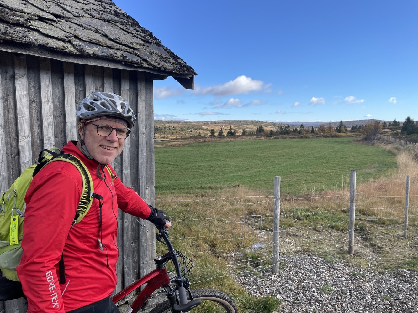
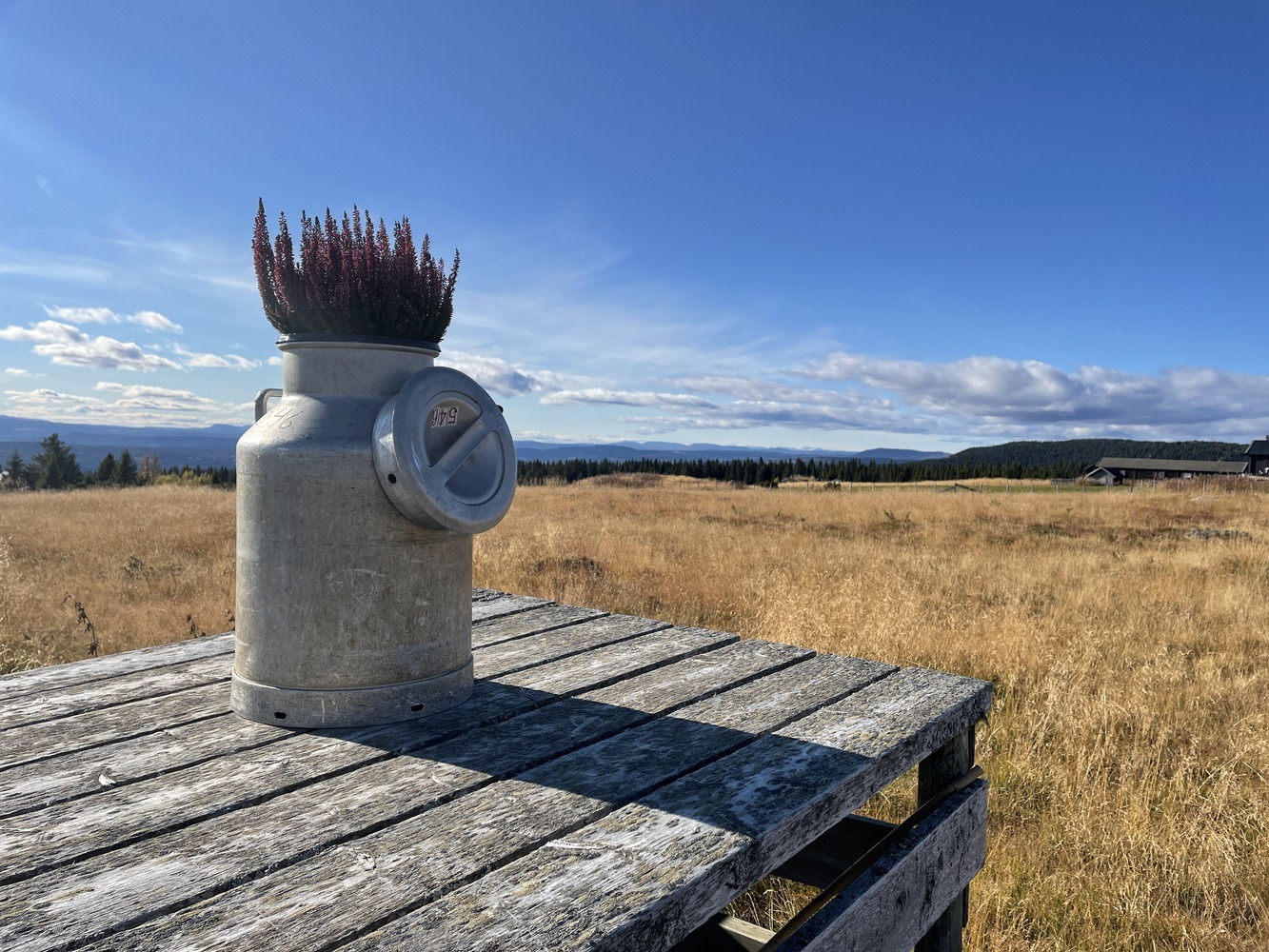
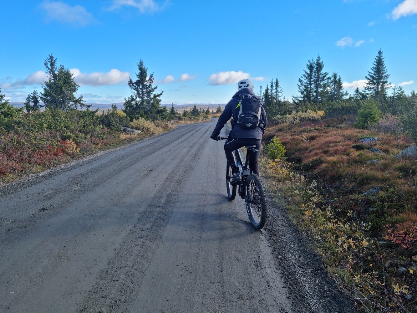
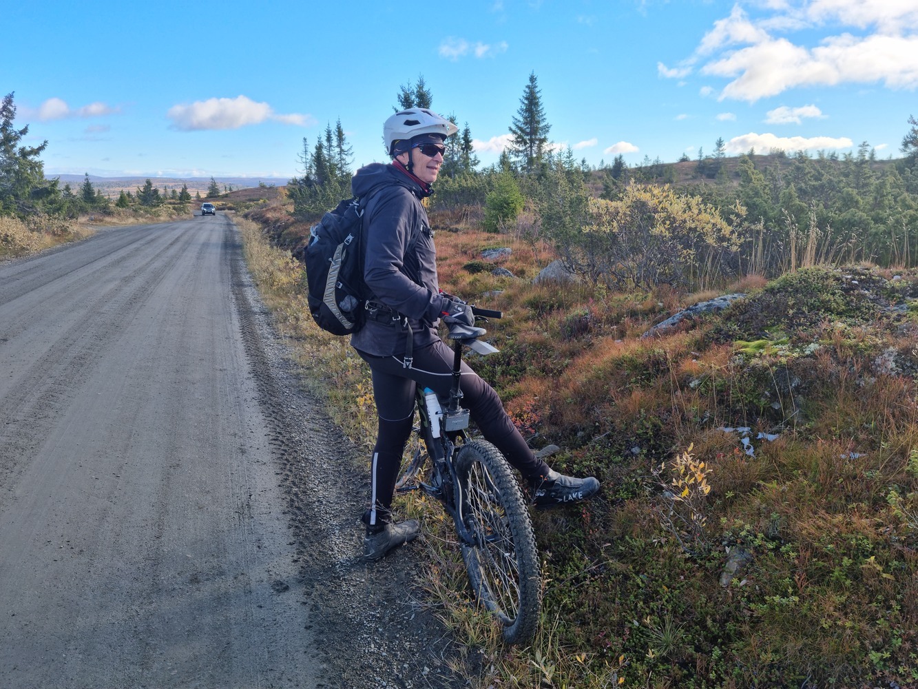
Turen går i fjellet og vi anbefaler at du tar bilen opp for å få en god start. Du kjører nordover mot Tretten og opp Mitdbygdsveien forbi Korsbakken (bompenger) og opp til Steinsetra for parkering. Herfra går det i lett terreng og du kommer godt over tregrensa og med nydelig utsikt nordover over Brettdalsvatnet og mot Rondane ved godt vær.