Route 4
Norway's roof
The route is defined as normal
Routes defined as normal are suitable for most people who have experience with somewhat demanding parties.Length
447 km
Popularity
4.8 out of 10
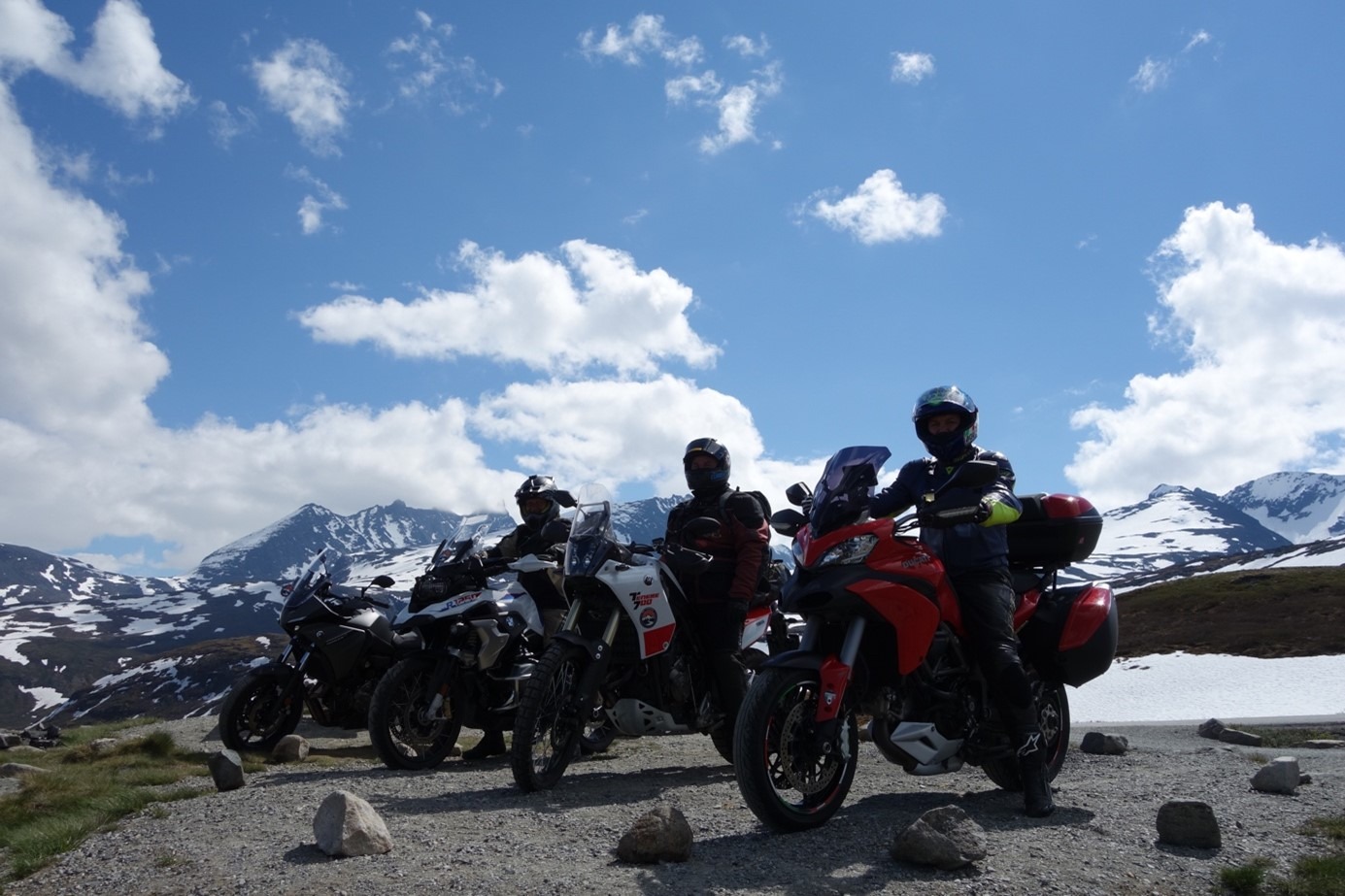
This hike starts with some absolutely fantastic turns up to the foot of Dalsnibba, this climb is one of the most beautiful in Møre og Romsdal, but not as much talked about as Trollstigen and Ørnevegen.
The trip down from Strynefjellet offers some tunnel sections that end up in a circus of varied turns and turn combinations. On the way to Sogndal, the southernmost point of the route, you will NEVER get bored. The sights are lined up and you'll be able to choose between nature experiences and organized activities on the way south. The cable car in Loen is one of these. Sogndal may be a natural lunch spot before you start the wow stage over Sognefjellet. From here you'll experience some of the wildest fjords and mountains in Norway, and the ride through the spectacular landscape is winding and delightful to drive. A dilemma quickly arises where you almost have to choose between enjoying the twists and turns or visual impressions that almost exceed all expectations. For the motorcyclist, this must be heaven itself!
When you arrive in Lom, you have about 100 km left of the trip back to Geiranger, where the terrain is calmer, the turns are bigger and you can flow through the landscape over the mountain to Grotli and on to Geiranger. If you now have some energy left and are receptive, we can recommend the hike up Dalsnibba. You will probably arrive here in the afternoon with the sun setting in the west and the visual impressions will surpass most of what you have seen before. The road up to Dalsnibba is a chapter in itself and extremely fun to drive. The descent to Hotel Union Geiranger can then only be enjoyed with new turns and a hearty meal within reach.
Support
How can I navigate the route?
This depends primarily on whether you have installed a GPS, navigate by App on your mobile phone or prefer paper printouts. Here we describe the most common workflows:
- Download the GPX file for the route you want to your computer
- Import the file to your route planning tool (e.g. Garmin's Basecamp or Tom Tom's MyDrive)
- Export the route to your GPS in the usual way
- Check that the route is calculated correctly in your GPS (It is recommended that the GPS is set to select the fastest route and any avoidance turned off for the route to be calculated as described).
- Have a great trip!
- Download the GPX file for the route you want to your mobile phone
- Send/open the file in the App that belongs to your GPS model (e.g. Garmin's Drive or Tom Tom's MyDrive)
- Send the route to your GPS (follow the instructions that come with your GPS and App)
- Check that the route is calculated correctly in your GPS (It is recommended that the GPS is set to select the fastest route and any avoidance turned off for the route to be calculated as described).
- Have a great trip!
Many of the routes on Hubriding use the app Ride with GPS app for route planning and navigation of the routes. You can download this as a free version or pay for extended use. Click on the Send to Device link on the map on this page, when the app has started and you see the current route, click Navigate and then just follow the route.
- Click on the link in the map on the page and the map will open in a new window
- Print the map, with or without description
- Have a great trip!