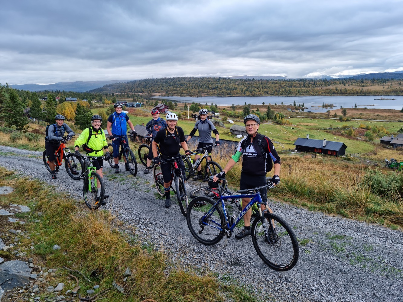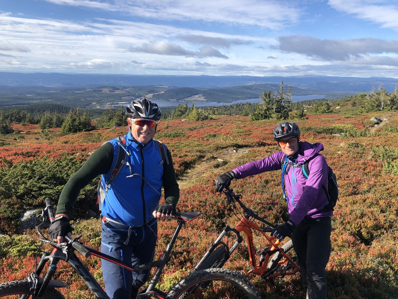
Ruten defineres som normal
Ruter som defineres som normal egner seg for de fleste som har erfaring med noe krevende partier.Tid
3:30 timer
Lengde
47 km

Popularitet
7.1 av 10
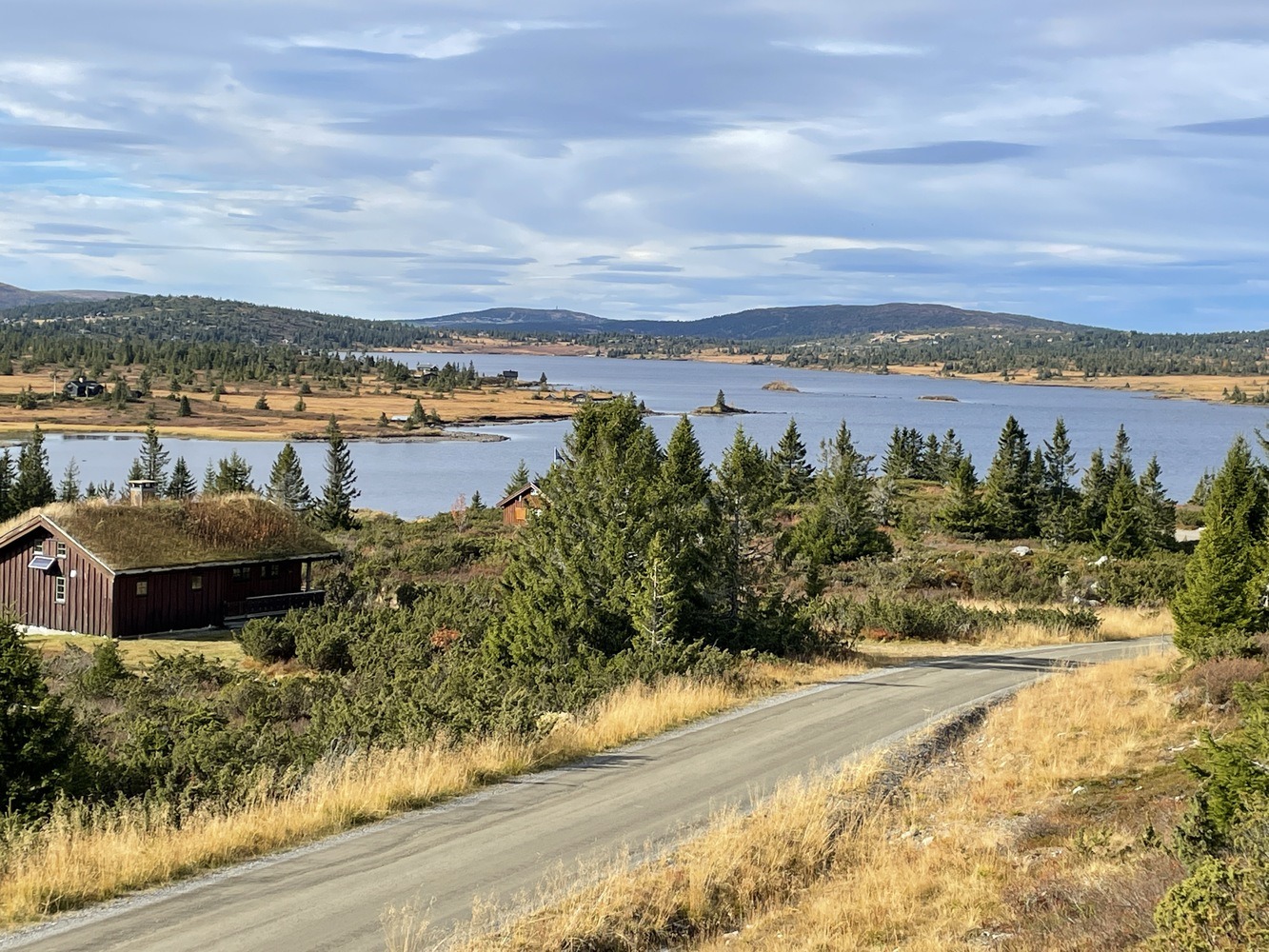
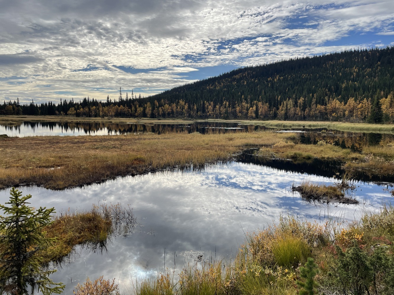
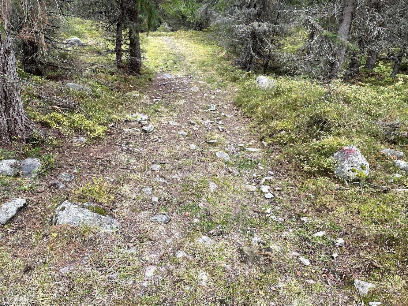
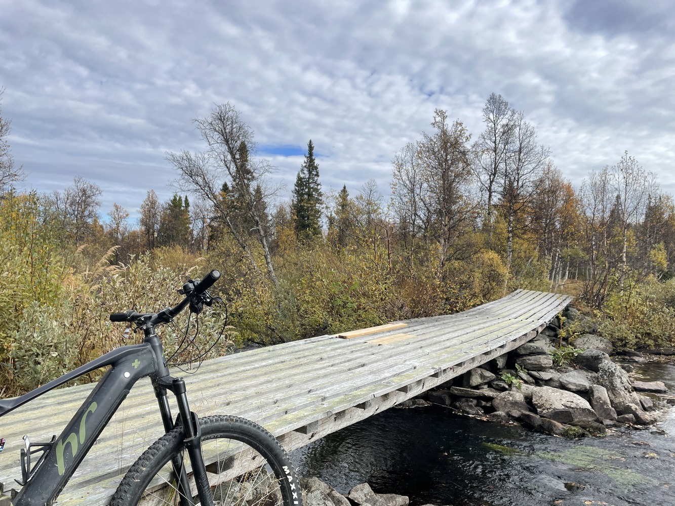
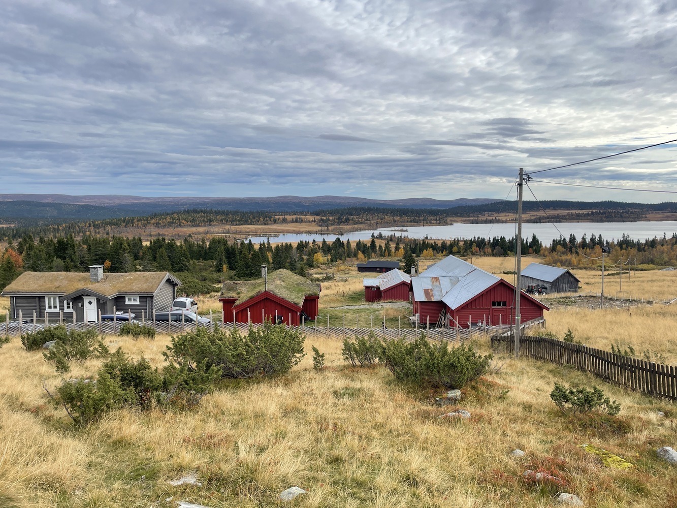
Turen starter på den store parkeringsplassen ved Pellestova. Hvis du ønsker å korte ned turen kan du kjøre 5-6 km videre til du finner parkeringsplasser like før Reina. Da forkortes turen med ca 10-12 km. Fra Reina går turen i lett terreng inn mot Hornsjø og ved hotellet må du følge med. Løypa tar deg inn på fin grusvei merket mot Hynna som etter hvert går over i en ganske krevende ca 3,5 km sti fram til Hynna. Er du uvant m stisykling kan du følge grusveien videre over Åsta elv og langs denne før du krysser elva igjen og er tilbake på ruta. Kanskje det er på dette strekket gruppa skal skille lag en liten stund?