
Ruten defineres som ekstrem
Ruter som defineres som ekstrem egner seg for personer som er kjent med krevende partier og har lang erfaring.Tid
5:30 timer
Lengde
100 km

Popularitet
5.8 av 10
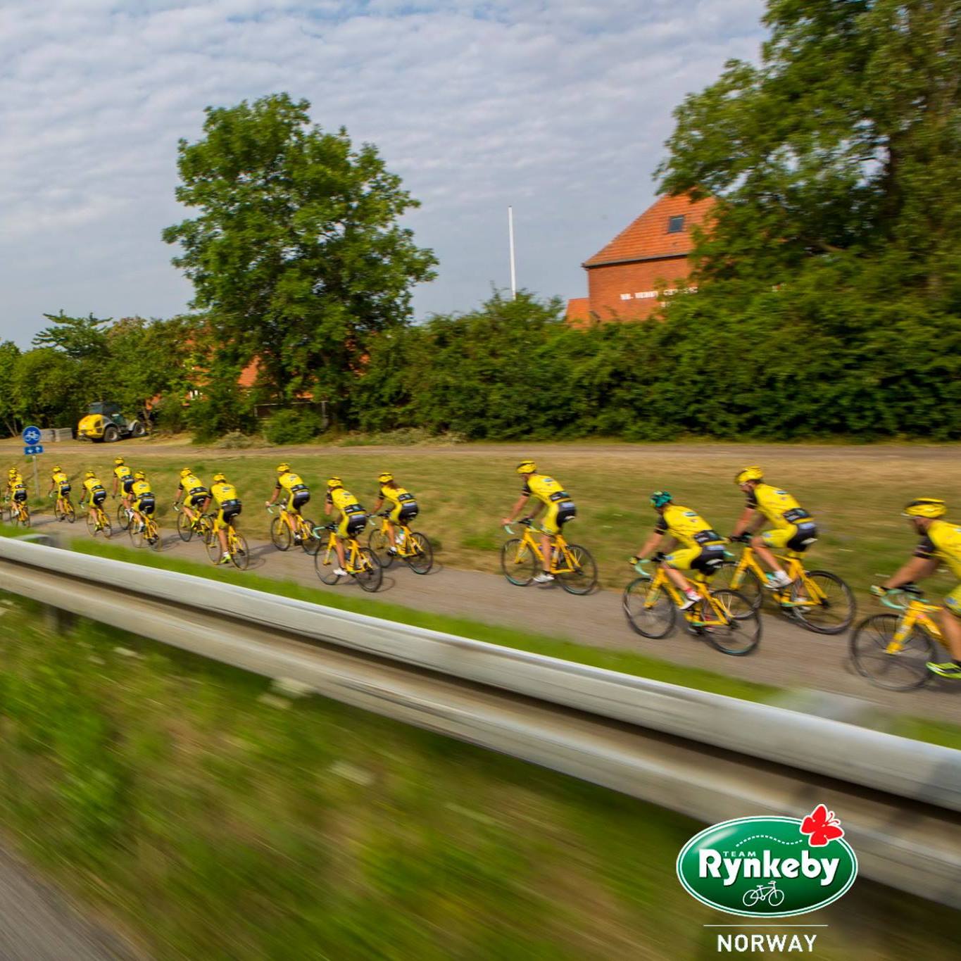
Reisen starter ved GamlaVærket eller Kronen Gaard Hotell på vei mot Borestranden og innpå det magiske landskapet i Nordsjøvegen.