Route 3
In the realm of the mountain people
The route is defined as simple
Routes defined as easy are suitable for everyone regardless of experienceLength
203 km
Popularity
6out of 10
Route 3: In the realm of the mountain people
It is recommended that GPS is set to select the fastest route and any avoidance turned off in order for the route to be calculated as described.
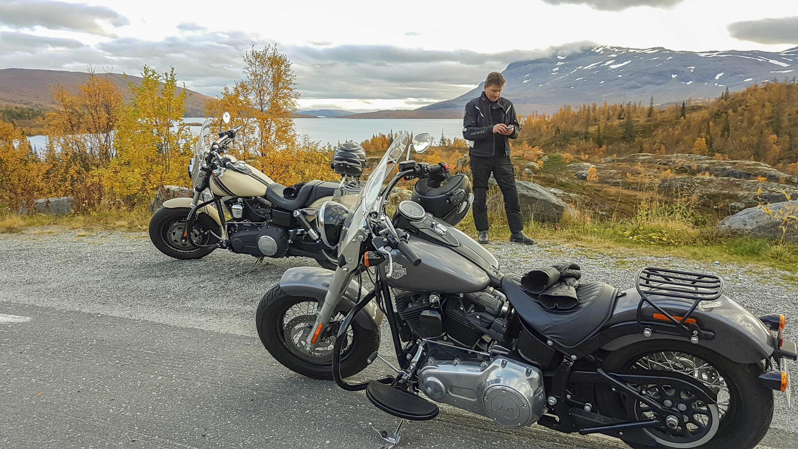
In Korgen, drive via Parkveien and Sørfjellveien before turning right onto Villmarksveien. Villmarksveien is an experience in itself. It is partly narrow and winding, but it is paved and open all year round and is popular with motorcycle enthusiasts. It winds through mountain and forest areas and on the road there are views of Okstindan, but also Røssvatnet and Børgefjell National Park. There are plenty of opportunities to find great rest stops in the countryside. For much of the trip, you drive along Røssvatnet, Norway's second largest lake.
About 12 km south of Korgen, with a signposted exit from Fv. 806, you will find the potholes. There are over 20 pots in the area, and it is possible to go down into the largest, which is ten meters in diameter and 11-12 meters deep. The dimensions of these make them some of the largest in the country. From the parking lot by Fv. 806 there is a clear path, first over a ridge before a flat descent to the pots, and the trip takes around 15 - 20 minutes.As you approach Hattfjelldal, you get a beautiful view of the characteristic mountain Hatten at 1128 m above sea level. It certainly resembles the headdress it is named after, and has given its name to the municipality. Turn right and take the Rv73 towards Trofors.
It takes just over half an hour. Trofors is a natural gem where the Svenningsdalselva river from the south meets Vefsna from Hattfjelldal in the east. Here you can try rafting on the northernmost rafting trip in Norway along a 40 km stretch of river. If you don't want to raft, we recommend a slightly quieter activity. If you drive along the E6 10 minutes north of Trofos, you'll come to the beautiful waterfall Laksforsen, which has a water volume of 700 m3 per second and a drop height of 17 meters. The waterfall is part of the salmon river Vefsna, which has a fascinating history. Right by the waterfall is a café where you can sit and enjoy the view before heading north to Mosjøen.
Support
How can I navigate the route?
This depends primarily on whether you have installed a GPS, navigate by App on your mobile phone or prefer paper printouts. Here we describe the most common workflows:
- Download the GPX file for the route you want to your computer
- Import the file to your route planning tool (e.g. Garmin's Basecamp or Tom Tom's MyDrive)
- Export the route to your GPS in the usual way
- Check that the route is calculated correctly in your GPS (It is recommended that the GPS is set to select the fastest route and any avoidance turned off for the route to be calculated as described).
- Have a great trip!
- Download the GPX file for the route you want to your mobile phone
- Send/open the file in the App that belongs to your GPS model (e.g. Garmin's Drive or Tom Tom's MyDrive)
- Send the route to your GPS (follow the instructions that come with your GPS and App)
- Check that the route is calculated correctly in your GPS (It is recommended that the GPS is set to select the fastest route and any avoidance turned off for the route to be calculated as described).
- Have a great trip!
Many of the routes on Hubriding use the app Ride with GPS app for route planning and navigation of the routes. You can download this as a free version or pay for extended use. Click on the Send to Device link on the map on this page, when the app has started and you see the current route, click Navigate and then just follow the route.
- Click on the link in the map on the page and the map will open in a new window
- Print the map, with or without description
- Have a great trip!