
Ruten defineres som normal
Ruter som defineres som normal egner seg for de fleste som har erfaring med noe krevende partier.Tid
4:15 timer
Lengde
237 km

Popularitet
7.8 av 10
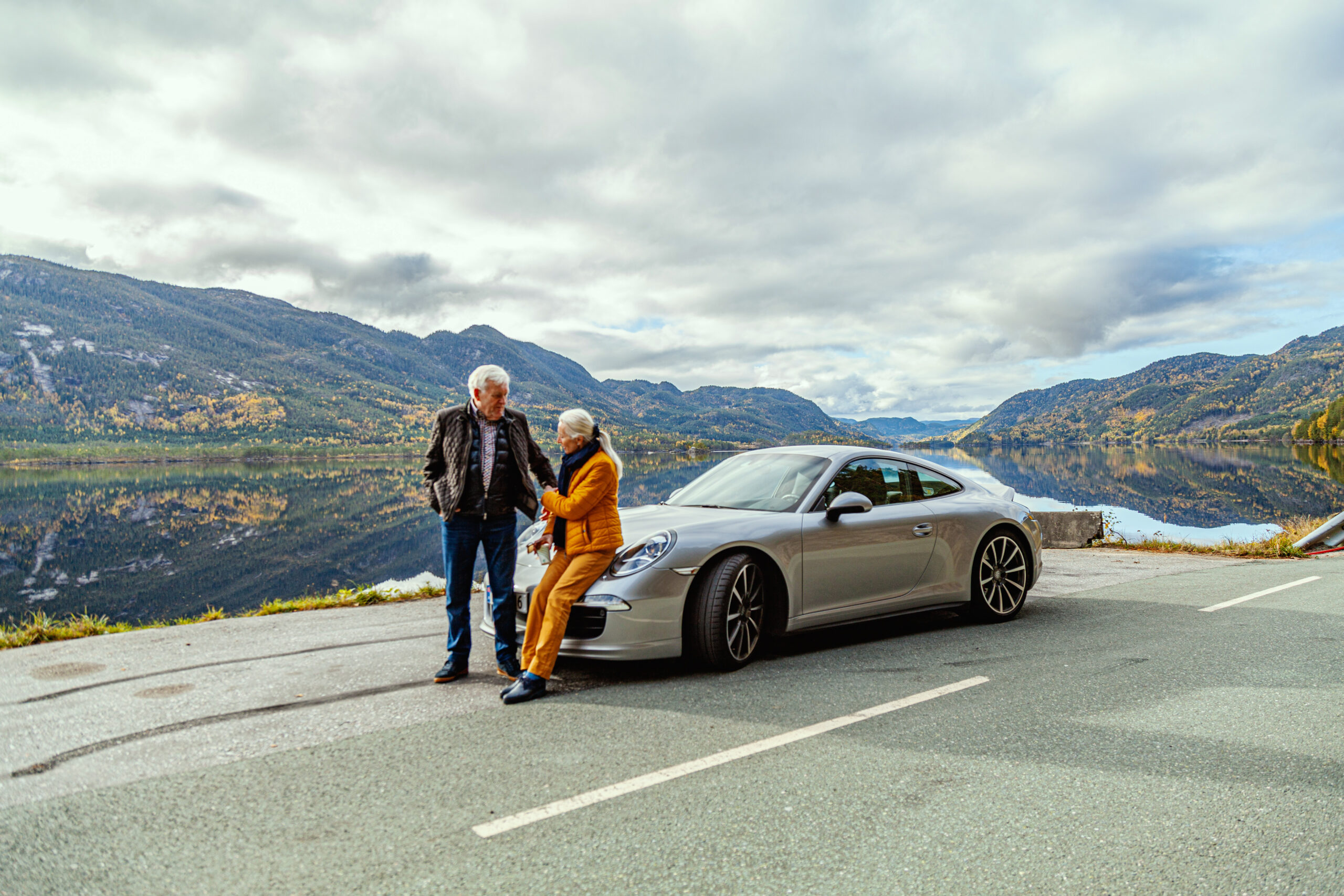
Første etappe er til Fyresdal og vi anbefaler et stopp innom Hamaren Aktivitetspark for en rusletur gjennom den populære og spektakulære aktivitetsparken og videre inn i middelaldertunet Øyskogen og den sjarmerende Folkestabyen. Kjør tilbake der du kom fra for så å kjøre over til vestsiden av Fyresdalsvatn. Her kjører du på flotte veier langs vannet, før du tar av og stiger oppover mot veien som skal ta deg langs Nesvatn.
Lokale bensinstasjoner som leverer 98 oktan
Sjekk ut den norskutviklede appen Refuel levert av AMCAR i samarbeid med High Octane AS for iOS og Android telefoner.