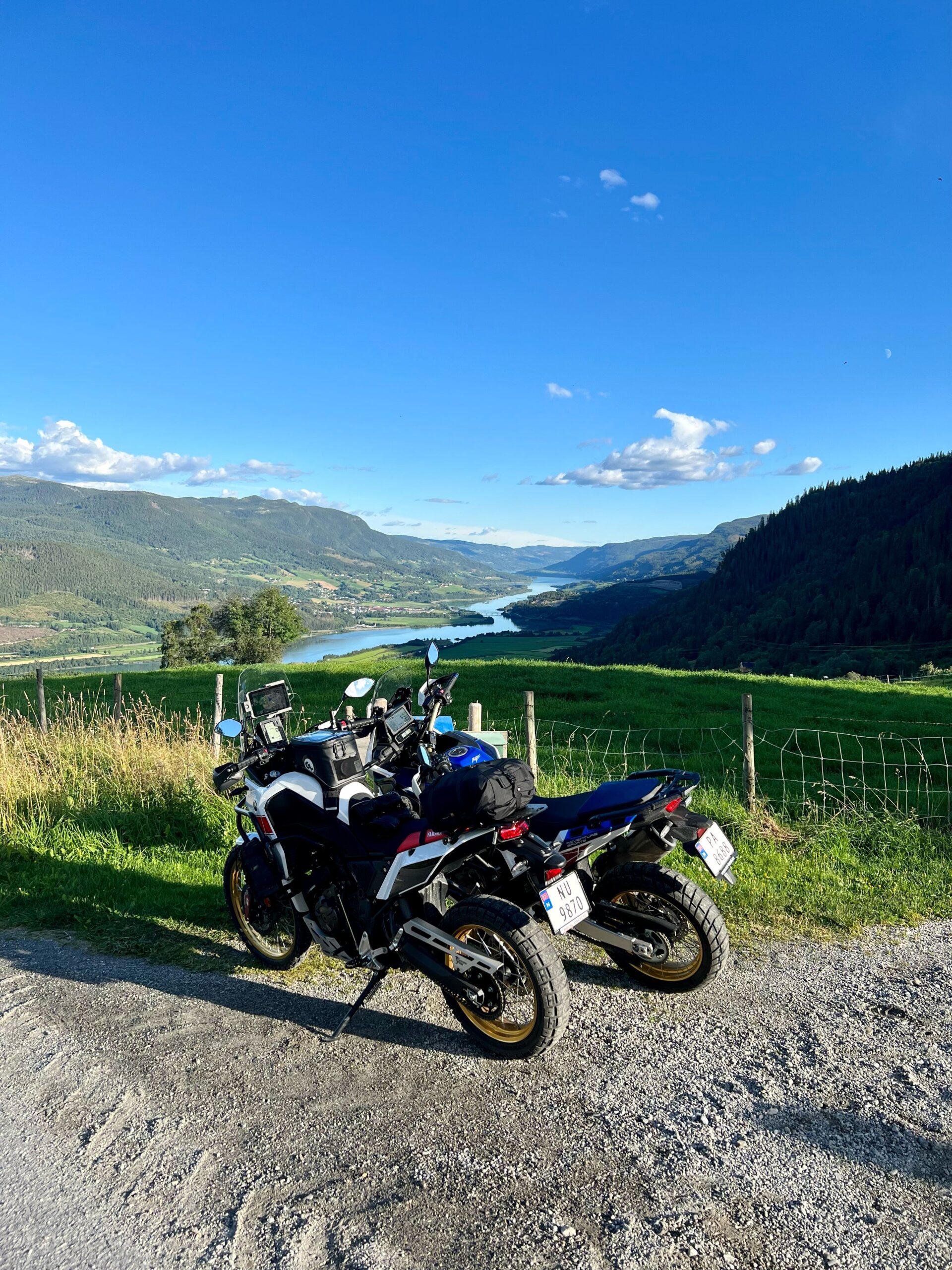
Route 1
Peer Gynt round
The route is defined as normal
Routes defined as normal are suitable for most people who have experience with somewhat demanding partiesLength
260 km
Popularity
7out of 10
Route 1: Peer Gynt rounds
It is recommended that GPS is set to select the fastest route and any avoidance turned off in order for the route to be calculated as described.
The first part of the trip up to Skeikampen is asphalt, then it's mainly gravel, interspersed with some asphalt stretches, until you come back down to Heidal. After that, it's mostly asphalt.
The tour then continues along the Peer Gynt road, through part of Norway's most beautiful mountain world and the high mountain main road through Gudbrandsdalen to Gålå. The last part of the Peer Gynt road goes via Fefor before you come down to Dalseter and then follow Espedalsveien about 10km to Skåbu and the beautiful Skåbu Fjellhotell where we recommend lunch.
After lunch, the tour continues into Murudalen, Jo Gjende's kingdom, before we turn off at Meringsdalsvatnet lake and head up via Kvernbursætrene and down to Heidal. Don't forget to make a stop to view Heidalsmuen on your trip over the mountain. The tour also passes Glittersjå Fjellgård for those who want to get really close to animals and nature. Once in Heidal, you can choose to take a short detour 6 km north to Heidal Ysteri, the birthplace of brown cheese, before following the back road south towards Gudbrandsdalen.
On the first part, you will certainly see many boats in Sjoa, as you pass Norway's rafting paradise. Those who are used to driving the E6 through Gudbrandsdalen will have a completely new, different and unique experience of the valley of the valley on the trip south back to Nermo Hotel.
Bommer
- Skeikampen - Gålå kr 90,-
- Fefor - Dalseter NOK 80,-
- Murudalen NOK 70,-
Support
How can I navigate the route?
This depends primarily on whether you have installed a GPS, navigate by App on your mobile phone or prefer paper printouts. Here we describe the most common workflows:
- Download the GPX file for the route you want to your computer
- Import the file to your route planning tool (e.g. Garmin's Basecamp or Tom Tom's MyDrive)
- Export the route to your GPS in the usual way
- Check that the route is calculated correctly in your GPS (It is recommended that the GPS is set to select the fastest route and any avoidance turned off for the route to be calculated as described).
- Have a great trip!
- Download the GPX file for the route you want to your mobile phone
- Send/open the file in the App that belongs to your GPS model (e.g. Garmin's Drive or Tom Tom's MyDrive)
- Send the route to your GPS (follow the instructions that come with your GPS and App)
- Check that the route is calculated correctly in your GPS (It is recommended that the GPS is set to select the fastest route and any avoidance turned off for the route to be calculated as described).
- Have a great trip!
Many of the routes on Hubriding use the app Ride with GPS app for route planning and navigation of the routes. You can download this as a free version or pay for extended use. Click on the Send to Device link on the map on this page, when the app has started and you see the current route, click Navigate and then just follow the route.
- Click on the link in the map on the page and the map will open in a new window
- Print the map, with or without description
- Have a great trip!